Plizio Visual Lab
Cap Ghir
Weather…
Water temperature…
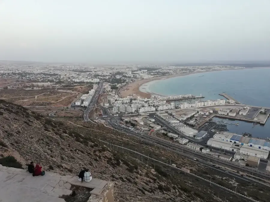
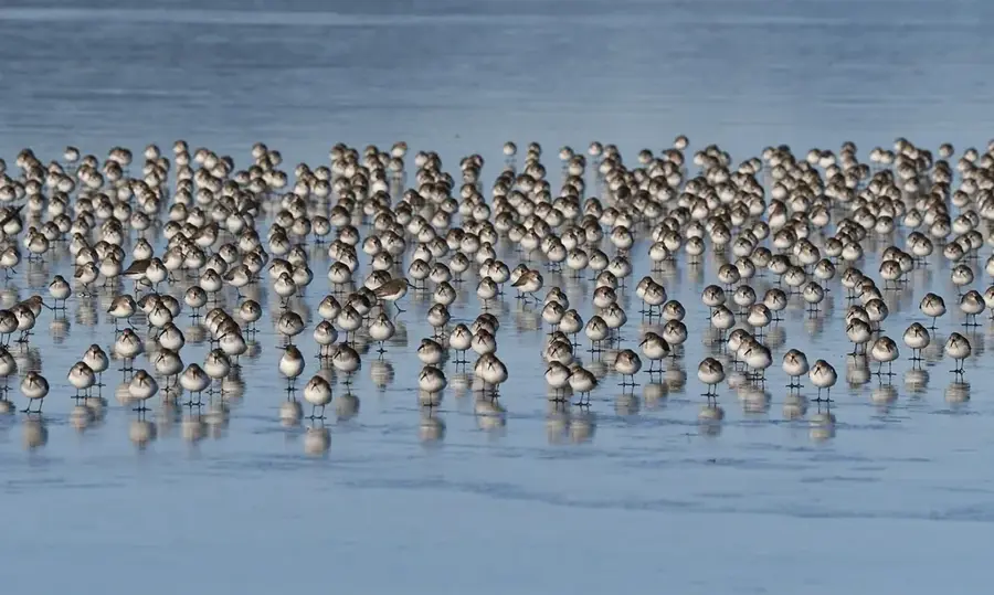
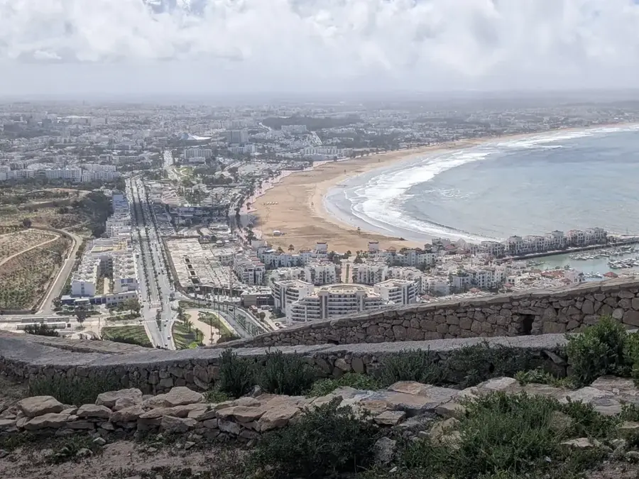
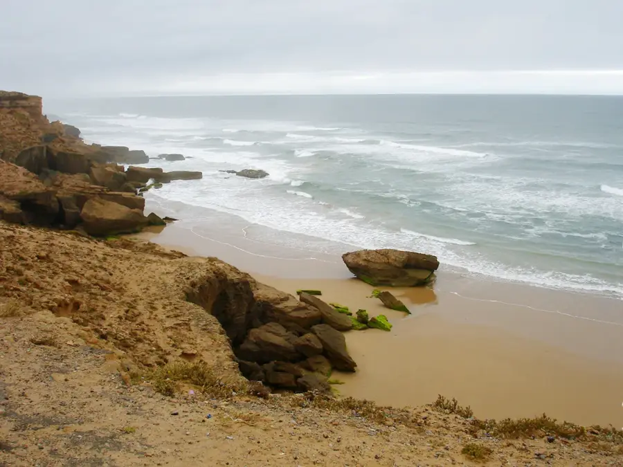
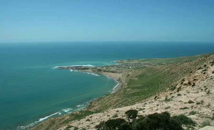
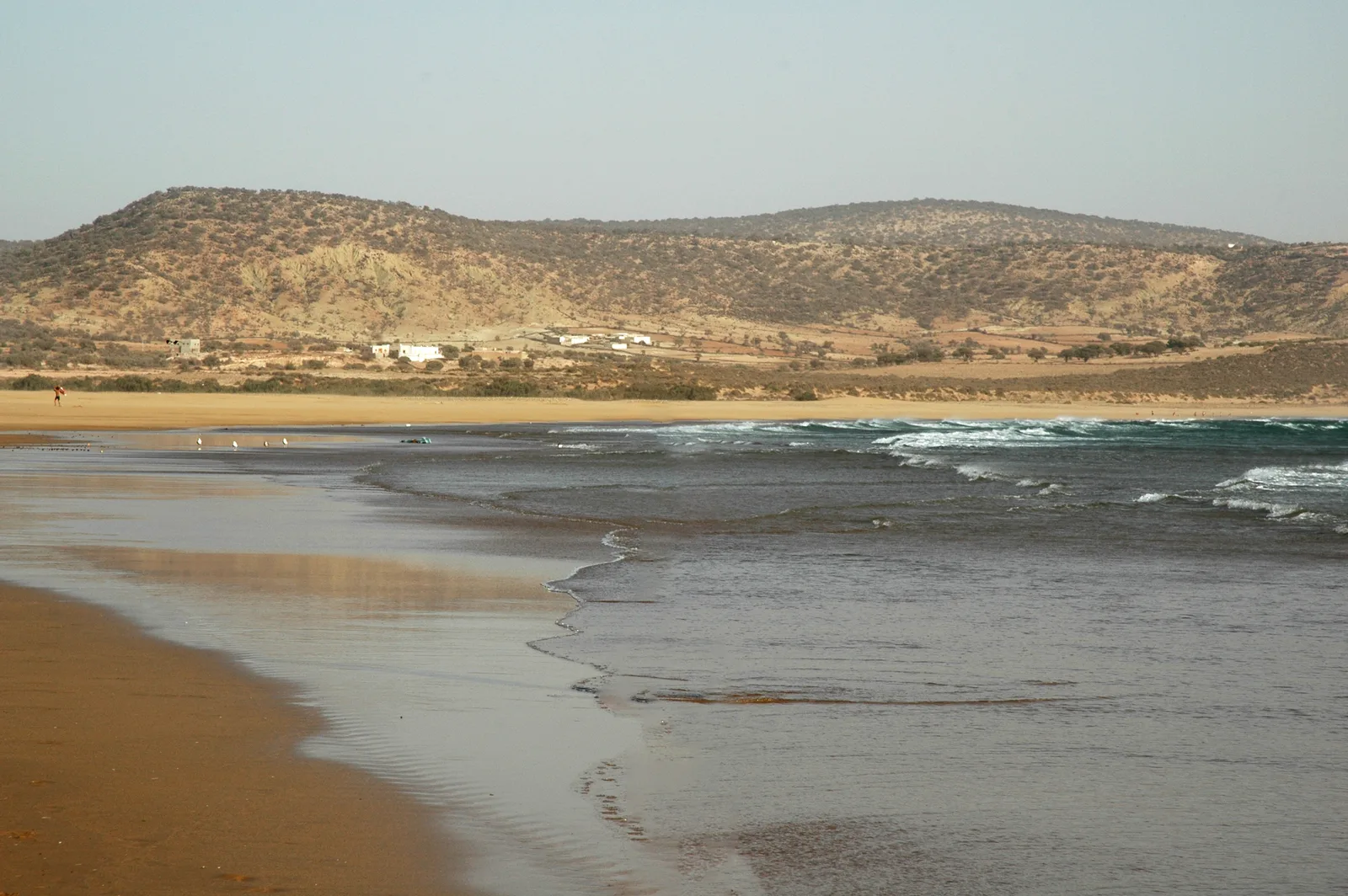
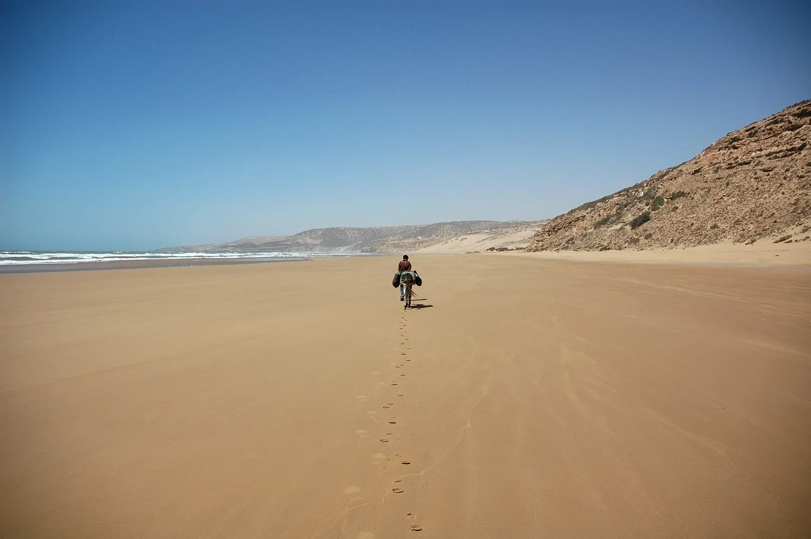
Cap Ghir is a prominent headland on the Moroccan Atlantic coast, located about 40 kilometers northwest of Agadir. It represents the westernmost spur of the High Atlas mountains, where the mountain range drops steeply into the ocean, creating a dramatic coastal landscape. The cape has long been a crucial landmark for maritime navigation; its distinctive lighthouse (Phare de Cap Ghir) was built in 1932 and continues to guide ships along the treacherous coastline today. Geologically, the region is noted for its limestone formations and fossil findings that provide insights into North Africa's geological history. The area around the cape is also a significant location for observing seabirds and migrating whales during their seasonal journeys. The strong winds and currents at Cap Ghir make it a rugged but fascinating natural spectacle, marking the transition between the fertile Souss plain and the rougher Atlantic coast.
- Location: Morocco
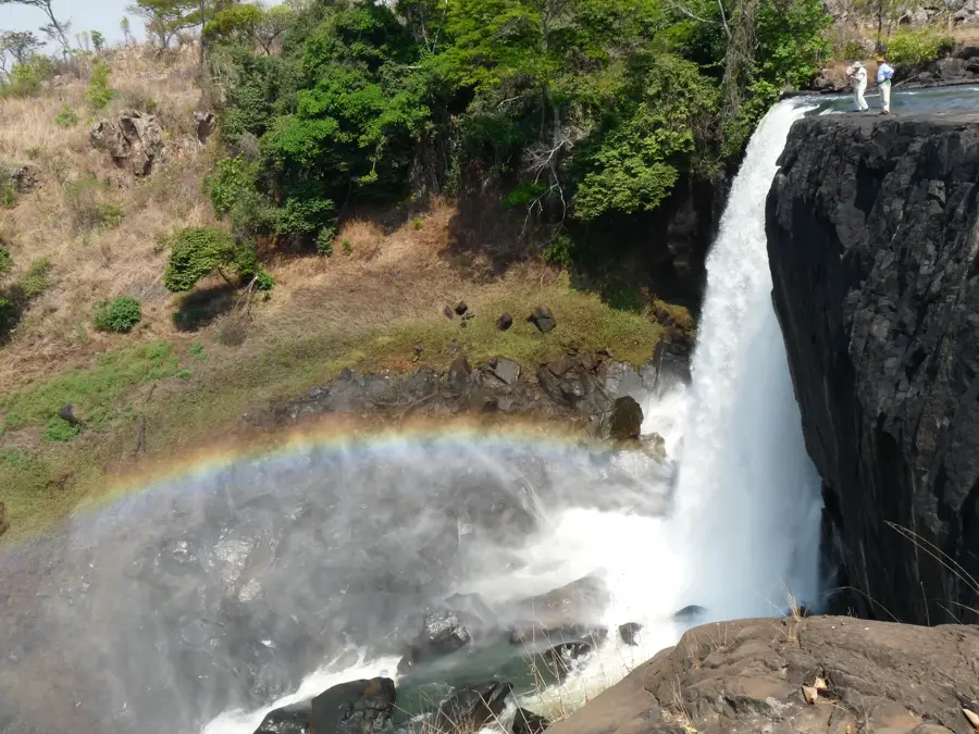
- Top sights: Phare du Cap Ghir · Vid na okean s obryva · Plage 25
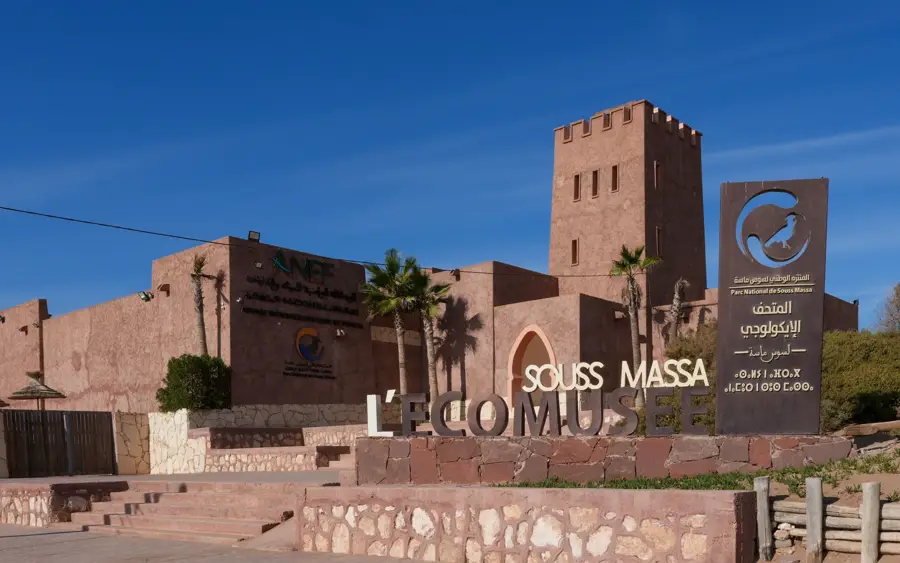
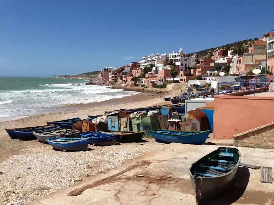
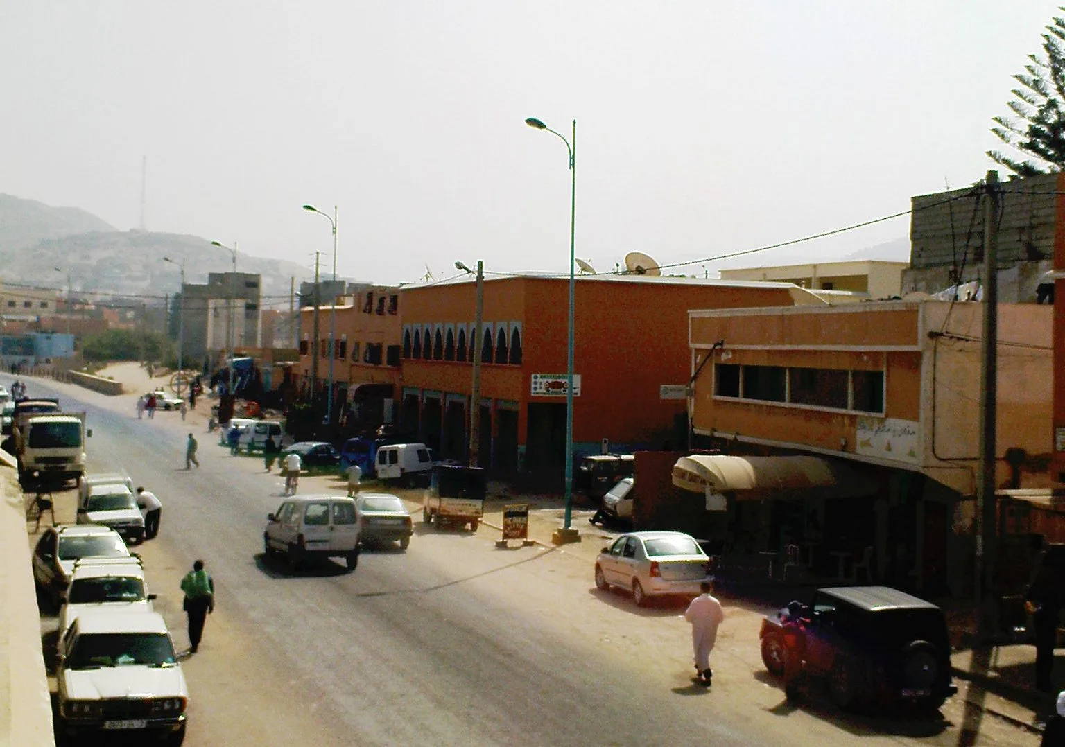
- Nearby: Taghazout (11 km)
Best time to visit & climate
The most pleasant time to visit is Jun, Sep, Oct.
| Jan | Feb | Mar | Apr | May | Jun | Jul | Aug | Sep | Oct | Nov | Dec | |
|---|---|---|---|---|---|---|---|---|---|---|---|---|
| Avg °C | 16 | 16 | 17 | 18 | 19 | 21 | 23 | 23 | 22 | 22 | 19 | 17 |
| Rain mm | 20 | 26 | 23 | 13 | 11 | 3 | 1 | 5 | 6 | 18 | 43 | 29 |
📋 Practical info
Geography
Facts
- Located approximately 40 kilometers northwest of Agadir.
- Marks the westernmost extremity of the High Atlas range.
- The iconic Cap Ghir lighthouse was established in 1932.
- Serves as a critical navigation landmark for Atlantic shipping.
- Famous for geological layers containing diverse ancient fossils.
- Premier location for seasonal whale watching along the coast.
Explore nearby
Notable places around
Route planner — Car & Motorhome
Where do you start? We build the route here, with stops and country notes along the way.
© OpenStreetMap contributors · OpenRouteService
Sights in the town Cap Ghir (4)
Sights nearby
Frequently asked questions
What is the main feature of Cap Ghir?
Can you visit the lighthouse?
Is it worth the trip for surfers?
What is the condition of the access road?
Is there parking available on site?
Cap Ghir: where is it located?
Cap Ghir: what is there to see?
Cap Ghir: when is the best time to visit?
Cap Ghir: why is it worth visiting?

Nearby cities

History & landmarks
Nature
More places