Plizio Visual Lab
Rif Mountains
Weather…
Water temperature…
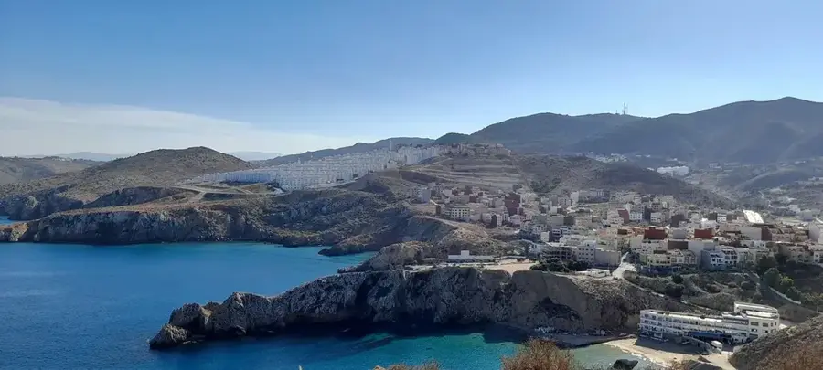
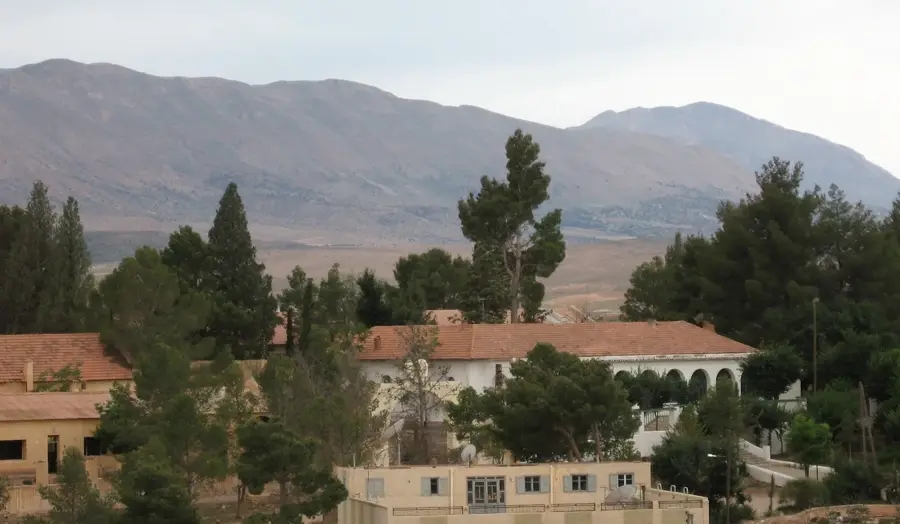
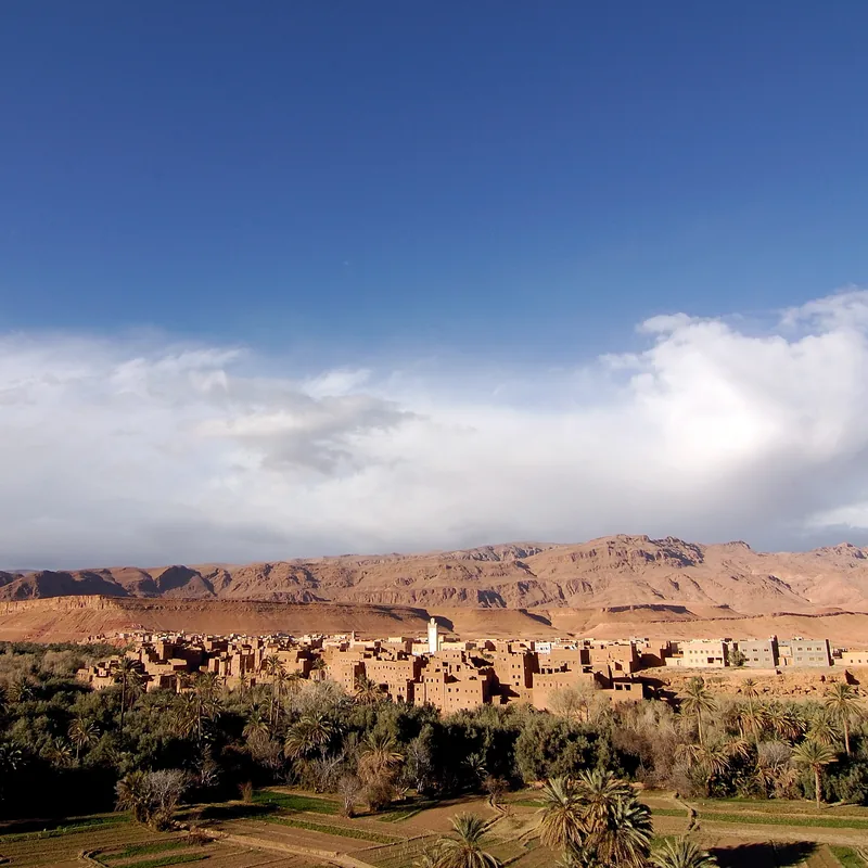
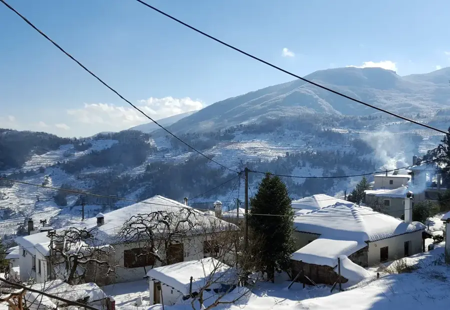
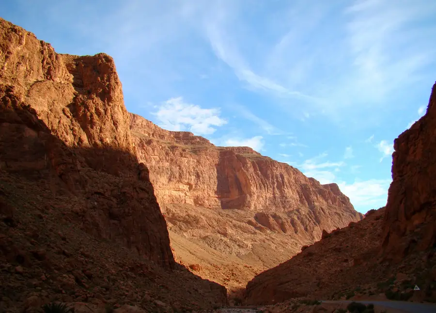
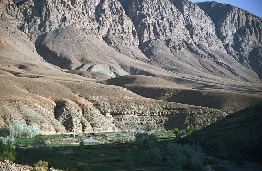
The Rif Mountains stretch across northern Morocco along the Mediterranean coast, forming a geological arc related to the Baetic System of southern Spain. The range's highest peak is Jebel Tidirhine, reaching an elevation of 2,448 meters above sea level. Geologically younger than the Atlas Mountains, the Rif is characterized by steep slopes and deep, rugged valleys that historically contributed to the region's cultural isolation. The area is primarily inhabited by Berber peoples who maintain a distinct linguistic and cultural heritage. Historically, the Rif gained international prominence during the Rif War of the 1920s, when leader Abd el-Krim established the short-lived Republic of the Rif. The mountains are home to significant forests of Atlas cedar and cork oak, providing a critical habitat for the endangered Barbary macaque. The range acts as a major climatic barrier, trapping Mediterranean moisture and supporting extensive terrace farming, which remains the primary livelihood for the local population.
- Location: Morocco
- Top sights: Jbel afchtal · Tizirane summit
- Nearby: Talassemtane (28 km)
Best time to visit & climate
The most pleasant time to visit is Jun, Jul, Sep.
| Jan | Feb | Mar | Apr | May | Jun | Jul | Aug | Sep | Oct | Nov | Dec | |
|---|---|---|---|---|---|---|---|---|---|---|---|---|
| Avg °C | 8 | 9 | 11 | 13 | 17 | 22 | 27 | 27 | 22 | 18 | 12 | 9 |
| Rain mm | 101 | 98 | 121 | 90 | 46 | 9 | 2 | 6 | 32 | 105 | 141 | 118 |
📋 Practical info
Geography
Facts
- Highest peak: Jebel Tidirhine at 2,448 meters.
- Geologically part of the Gibraltar Arc system.
- Site of the Republic of the Rif (1921–1926).
- Contains vast stands of native Atlas Cedar forests.
- Key sanctuary for the endangered Barbary macaque.
- Receives some of the highest rainfall in Morocco.
Explore nearby
Notable places around
Route planner — Car & Motorhome
Where do you start? We build the route here, with stops and country notes along the way.
© OpenStreetMap contributors · OpenRouteService
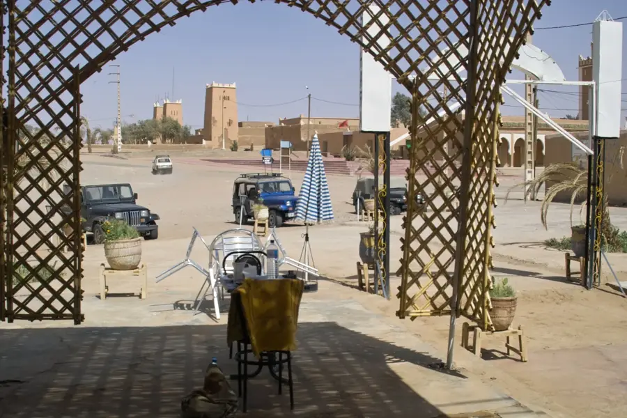
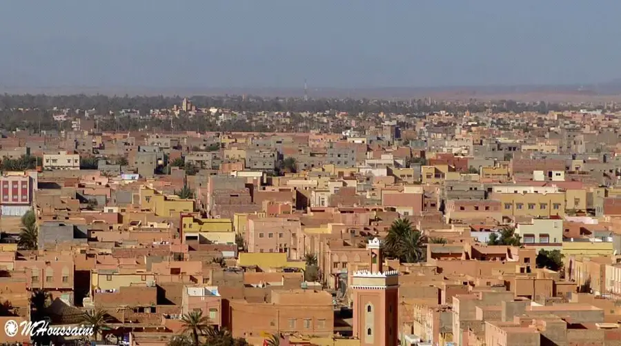
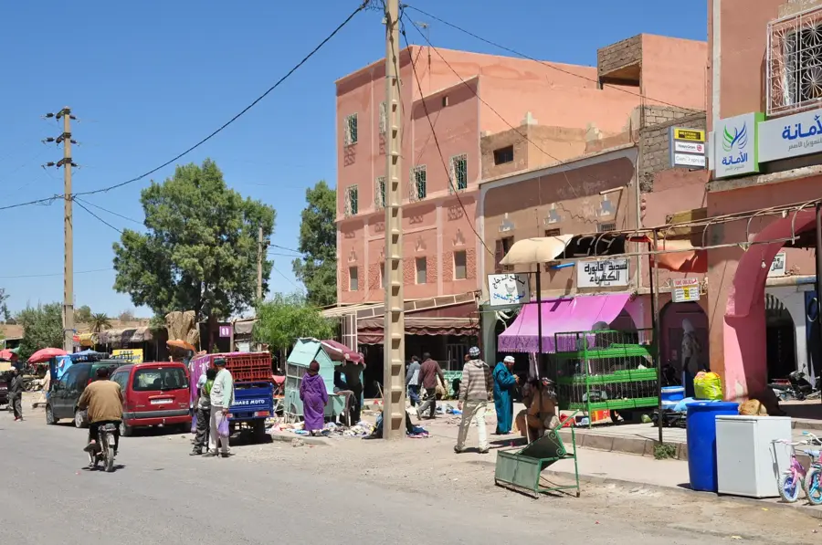
Sights in the town Rif Mountains (2)
Sights nearby
Frequently asked questions
Are the Rif Mountains safe for hikers?
What is the most famous town in the Rif?
How high is the highest mountain in the Rif?
Is hemp grown there?
Can you ski in the Rif Mountains?
Rif Mountains: where is it located?
Rif Mountains: what is there to see?
Rif Mountains: when is the best time to visit?
Rif Mountains: why is it worth visiting?

Nearby cities
History & landmarks
More places