Plizio Visual Lab
Zagora
ℹ️Practical info — Zagora
▾
🌤 Weather — 5 days
📍 Nearby
Sights nearby
💡 Tips
- Take a photo at the famous 'Timbuktu 52 days' sign in the city center. It's best in the early morning light before the crowds arrive.
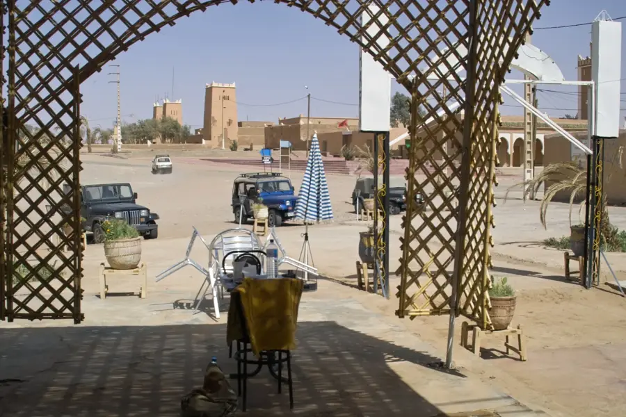
- The town is the gateway to the Sahara, so stock up on bottled water and snacks here before heading out into the desert.
- Explore the vast palm grove (palmeraie) bordering the town; hiring a local guide can help you navigate the labyrinth of gardens.
- Summer temperatures are extreme; plan all outdoor activities for early morning or late afternoon, and respect the mid-day siesta.
🍽 Food
Available everywhere in the local market.
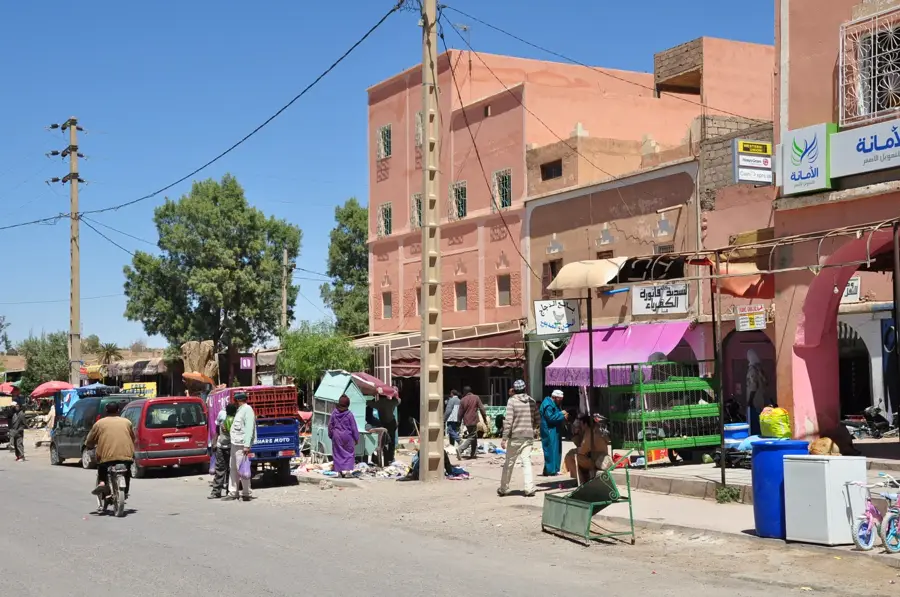
In the restaurants along Avenue Mohammed V.
At the rooftop cafes overlooking the palm grove.
🛍 Shopping · 🧘 Quiet spots
Wednesdays and Sundays for fresh produce, dates, and local crafts.
In the shops along the main avenue.
A peaceful walk among the date palms and irrigation canals.
Hike up the mountain at sunrise or sunset for panoramic views over the Drâa Valley.
Water temperature…
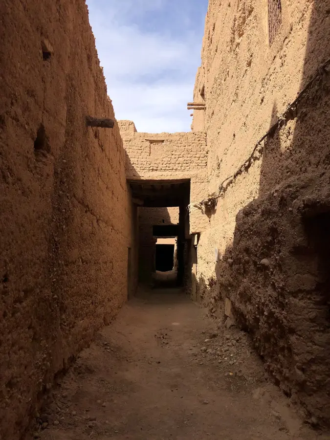
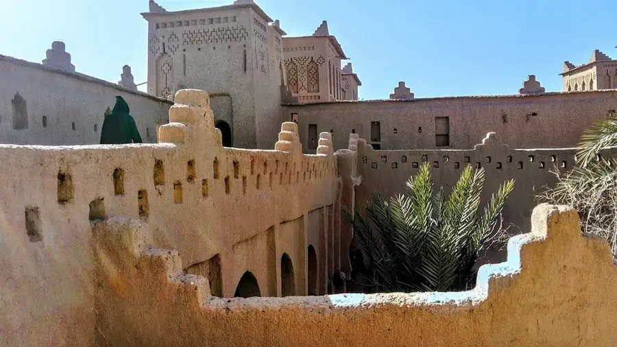
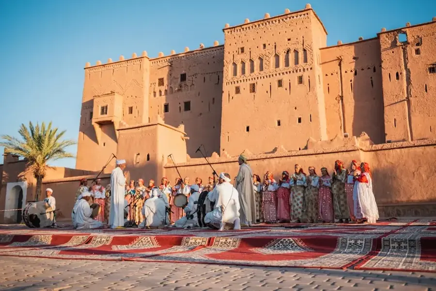
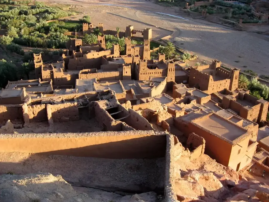
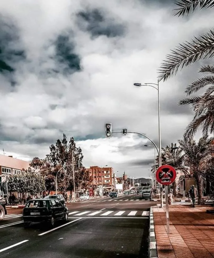
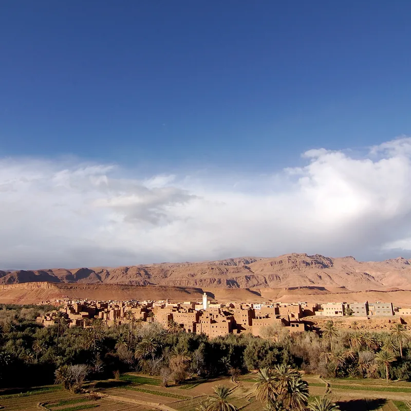
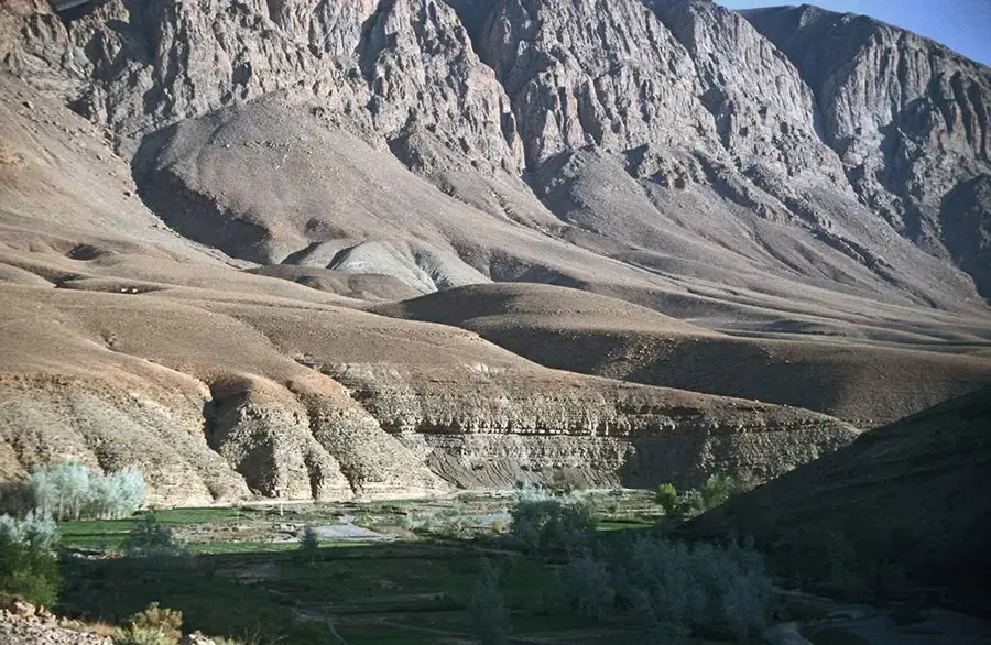
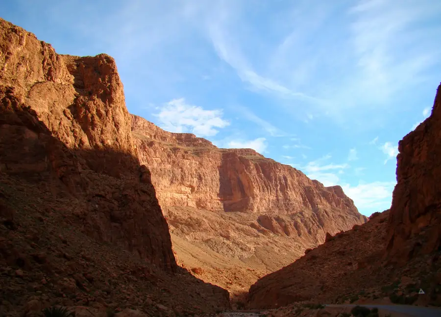
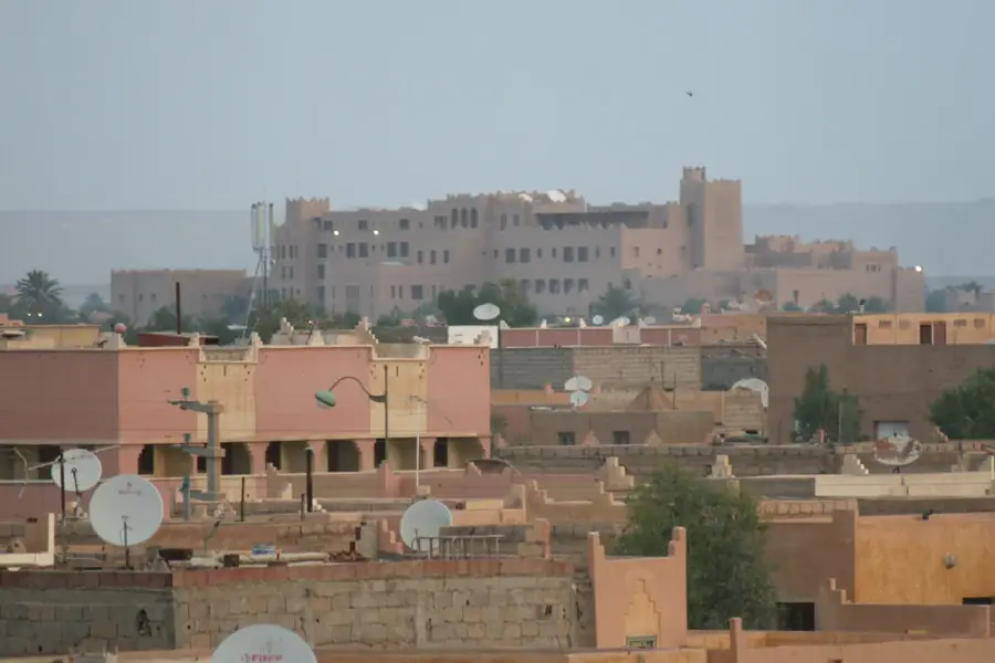
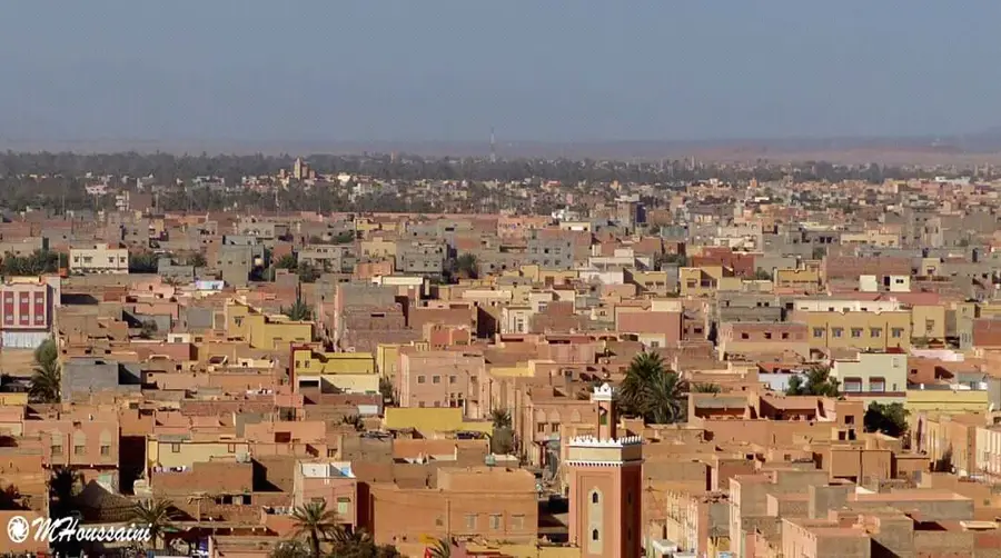
Zagora is located in southeastern Morocco, in the expansive Drâa River valley, and is frequently called the 'Gateway to the Sahara.' While the modern town was developed in the 20th century as a French administrative outpost, the region has long been historically significant as the ancestral home of the Saadian dynasty, which rose to power in the 16th century. Zagora is internationally famous for its iconic road sign that reads 'Timbuktu 52 days,' a tribute to the era of trans-Saharan caravan trade. The landscape is dominated by Jbel Zagora, a mountain housing the remains of an 11th-century Almoravid fortress and offering panoramic views of the palm groves. The surrounding Drâa valley is home to vast date palm plantations, which are maintained through traditional irrigation systems known as khettaras. Cultural life in Zagora is a rich blend of Berber, Arab, and sub-Saharan influences, particularly evident in the local music and the architecture of the earthen ksour. Today, Zagora is a major center for desert tourism, serving as the starting point for expeditions to the dunes of Erg Chigaga and M'Hamid. Despite environmental challenges like desertification, date production remains a vital economic pillar for the local community.
- Location: Morocco
- Top sights: Tombouctou 52 jours · Zagora Lookout
- Population: ~43.752 (2024)
Best time to visit & climate
The most pleasant time to visit is Apr, May, Oct.
| Jan | Feb | Mar | Apr | May | Jun | Jul | Aug | Sep | Oct | Nov | Dec | |
|---|---|---|---|---|---|---|---|---|---|---|---|---|
| Avg °C | 9 | 11 | 15 | 19 | 23 | 28 | 32 | 31 | 26 | 20 | 14 | 10 |
| Rain mm | 6 | 9 | 14 | 6 | 7 | 3 | 3 | 5 | 14 | 12 | 14 | 7 |
Geography
Facts
- The 'Timbuktu 52 days' sign commemorates the historical trans-Saharan route.
- Jbel Zagora mountain rises to an elevation of 974 meters.
- The Saadian Sultan Ahmad al-Mansur used this region as a base for his conquests.
- Zagora is a key stage for the world-famous Marathon des Sables ultramarathon.
- The nearby village of Tamegroute is famous for its unique green glaze pottery.
- The town experiences a hot desert climate with average summer peaks over 40°C.
Explore nearby
Notable places around
Route planner — Car & Motorhome
Where do you start? We build the route here, with stops and country notes along the way.
© OpenStreetMap contributors · OpenRouteService
Sights in the town Zagora (2)
Frequently asked questions
What is the best activity in Zagora?
Is a 4x4 needed for Zagora?
What is the weather like?
What is the culinary highlight?
Are there accommodations in the desert?
Zagora: where is it located?
Zagora: what is there to see?
Zagora: when is the best time to visit?
Zagora: why is it worth visiting?

Nearby cities
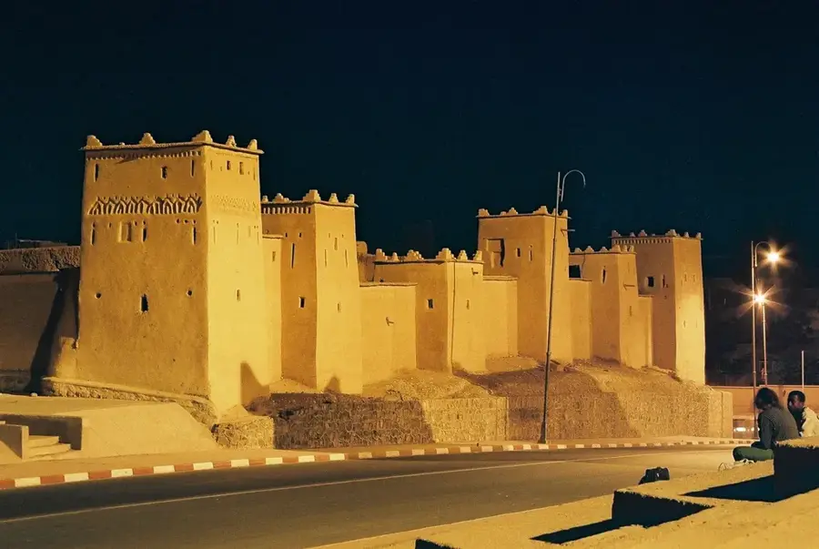
History & landmarks
More places