Plizio Visual Lab
Rif Mountains
Weather…
Water temperature…
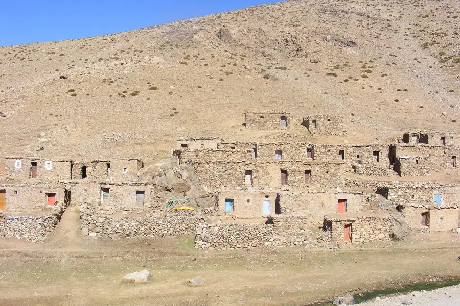
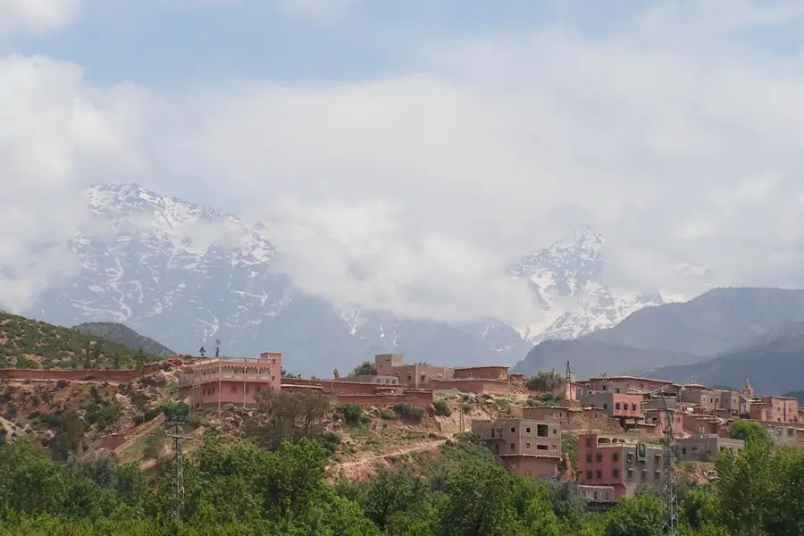
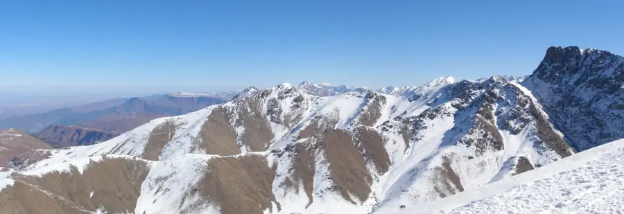
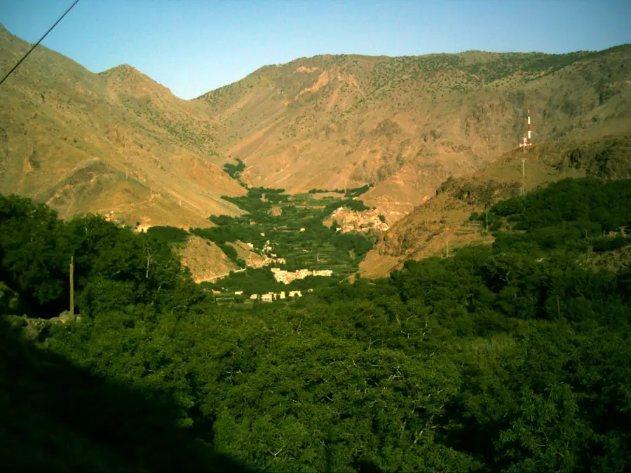
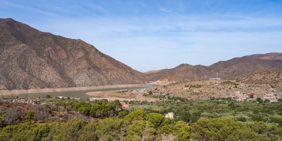
The Rif Mountains stretch along Morocco's Mediterranean coastline, from Tangier in the west to the Moulouya River in the east. Geologically, the Rif is not part of the Atlas system; instead, it belongs to the Gibraltar Arc and is closely related to the Betic Cordillera in southern Spain. The range is characterized by jagged limestone massifs, deep valleys, and high rainfall, making it the greenest and most fertile mountain region in the country. The highest peak is Jbel Tidirhine, reaching 2,448 meters above sea level. Historically, the Rif is famous for its fierce resistance against colonial forces, most notably during the Rif War (1921-1926) led by Abd el-Krim, who established the short-lived Republic of the Rif. The region is home to cultural gems like the 'blue city' of Chefchaouen and distinct Berber communities with unique dialects. While historically known for cannabis cultivation, the region is increasingly focusing on sustainable tourism and reforestation projects involving pine and cedar trees.
- Location: Morocco
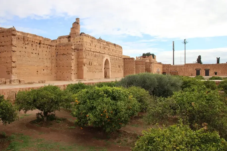
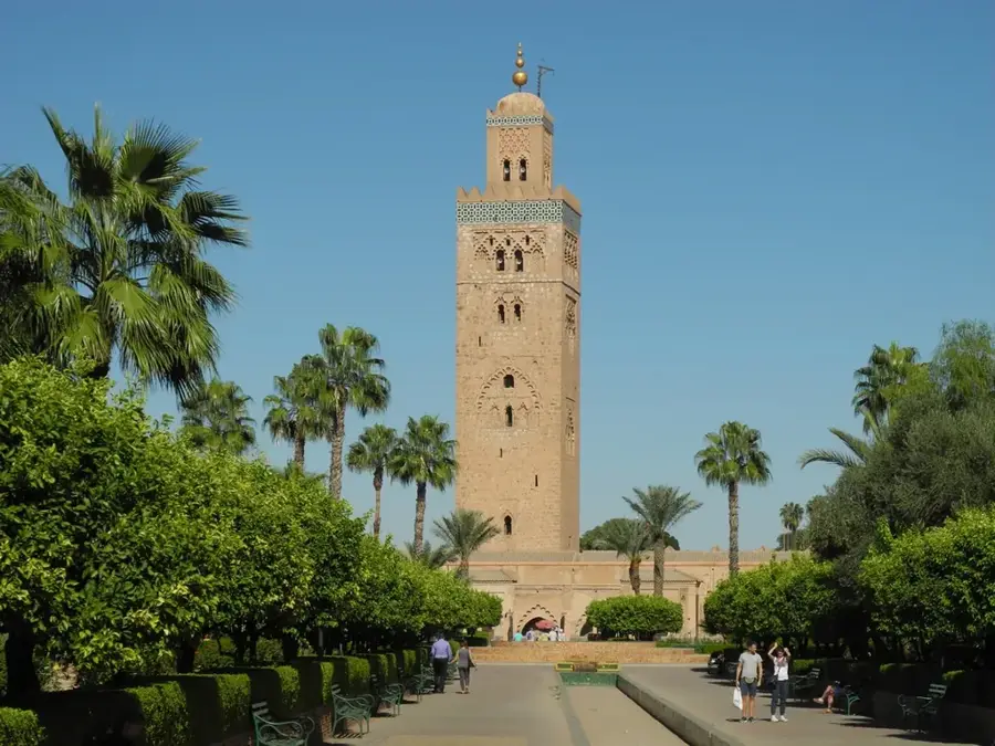
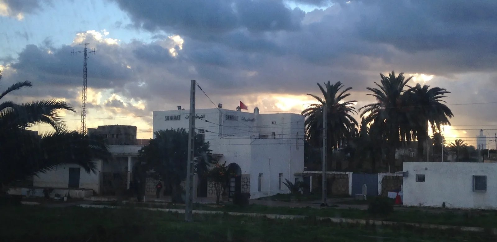
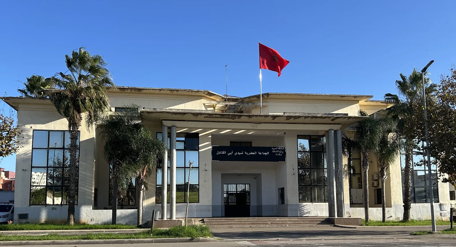
- Top sights: Spanish protectorate in Morocco · Ouaouzgane
- Nearby: Adouz (36 km)
Best time to visit & climate
The most pleasant time to visit is Jun, Jul, Sep.
| Jan | Feb | Mar | Apr | May | Jun | Jul | Aug | Sep | Oct | Nov | Dec | |
|---|---|---|---|---|---|---|---|---|---|---|---|---|
| Avg °C | 8 | 9 | 11 | 13 | 17 | 22 | 26 | 26 | 22 | 17 | 11 | 9 |
| Rain mm | 67 | 72 | 87 | 68 | 35 | 8 | 2 | 9 | 32 | 78 | 99 | 80 |
📋 Practical info
Geography
Facts
- Jbel Tidirhine is the highest peak in the Rif range at 2,448 meters.
- The Rif mountains are geologically linked to Spain's Sierra Nevada.
- The region receives some of the highest rainfall in Morocco, up to 1,000 mm annually.
- The Republic of the Rif was an independent state from 1921 to 1926.
- Chefchaouen was founded in 1471 as a fortress against Portuguese incursions.
- The Rif is home to significant stands of the rare Moroccan fir (Abies marocana).
Explore nearby
Notable places around
Route planner — Car & Motorhome
Where do you start? We build the route here, with stops and country notes along the way.
© OpenStreetMap contributors · OpenRouteService
Sights in the town Rif Mountains (2)
Sights nearby
Frequently asked questions
Are the Rif Mountains safe?
What is special about Chefchaouen?
How is the hiking area?
Is there public transport?
What is the best season?
Rif Mountains: where is it located?
Rif Mountains: what is there to see?
Rif Mountains: when is the best time to visit?
Rif Mountains: why is it worth visiting?

Nearby cities
History & landmarks
More places