Plizio Visual Lab
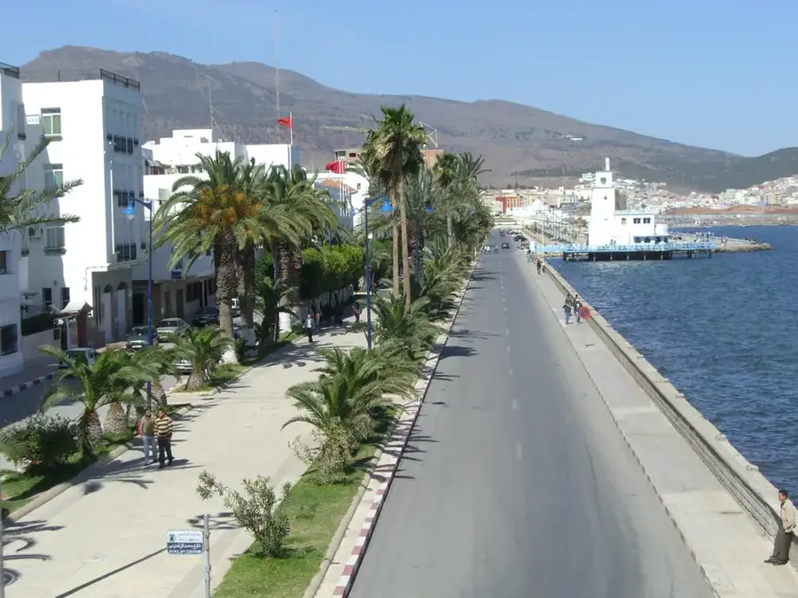
Port of Nador
Weather…
Water temperature…
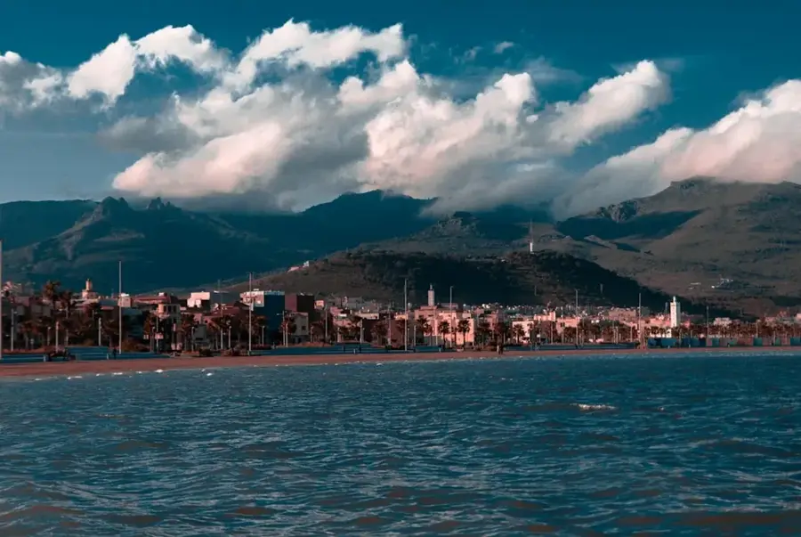
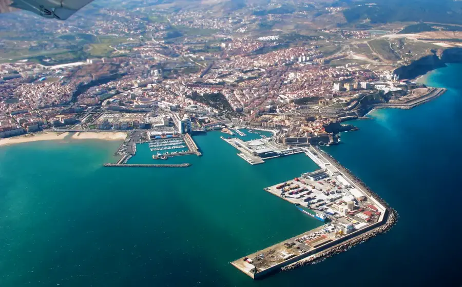
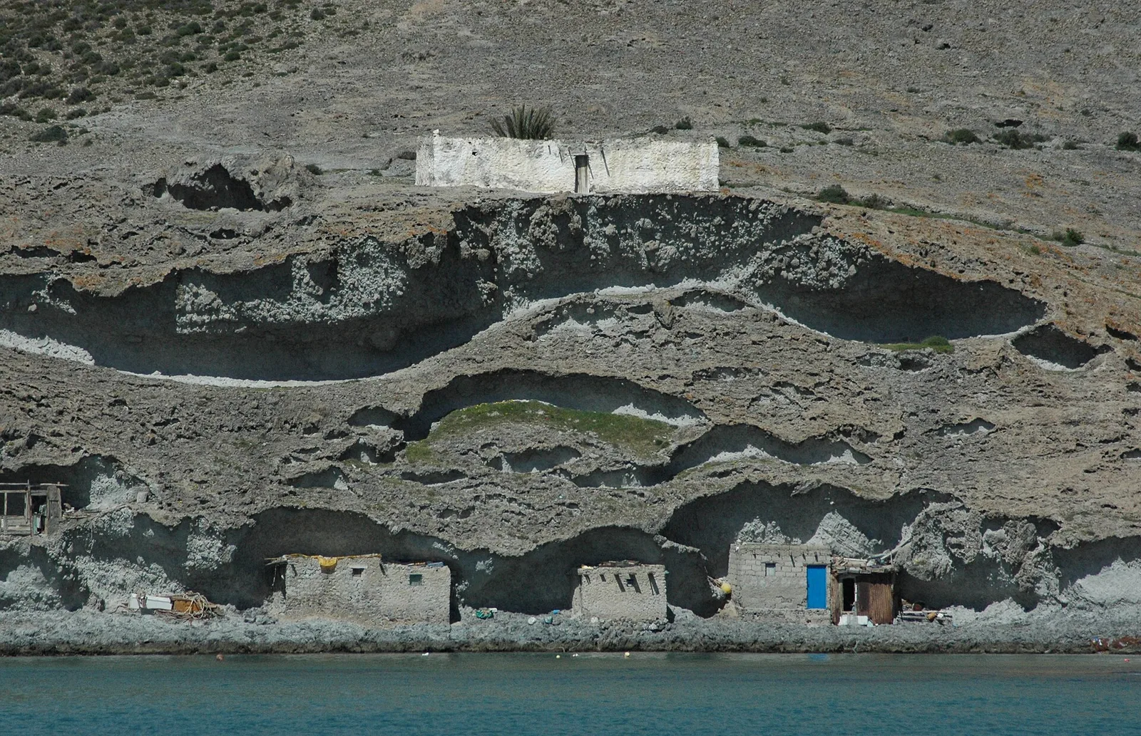
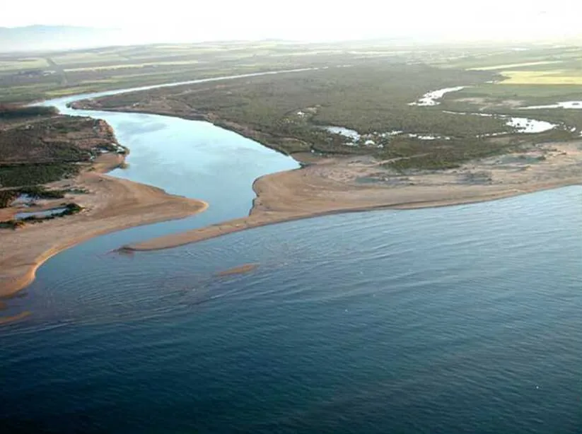
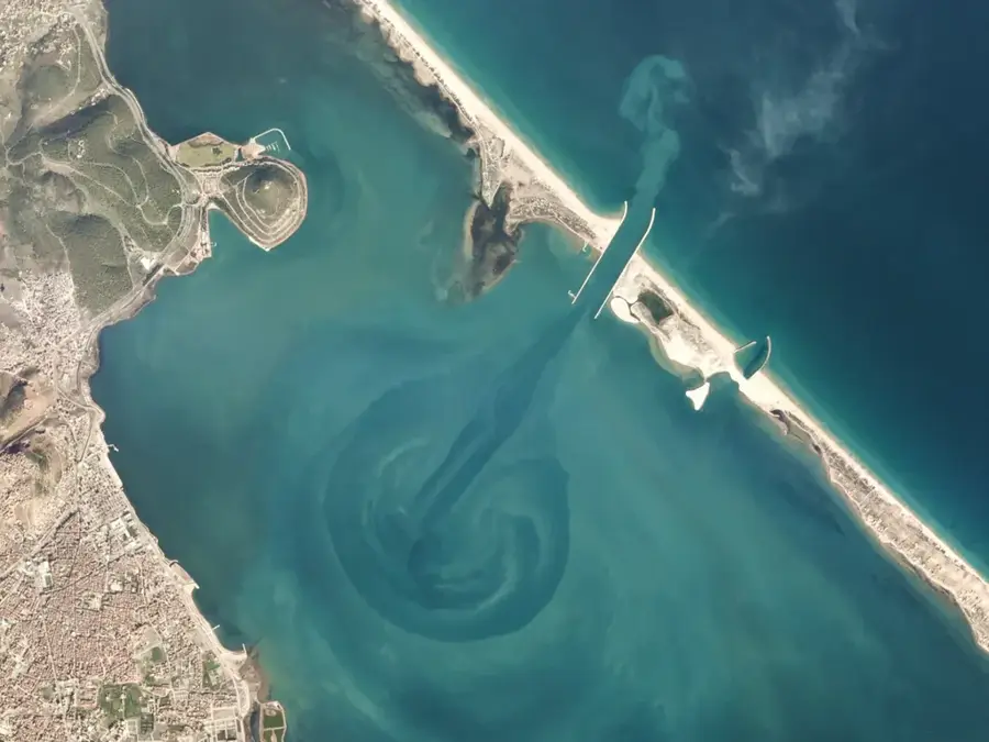
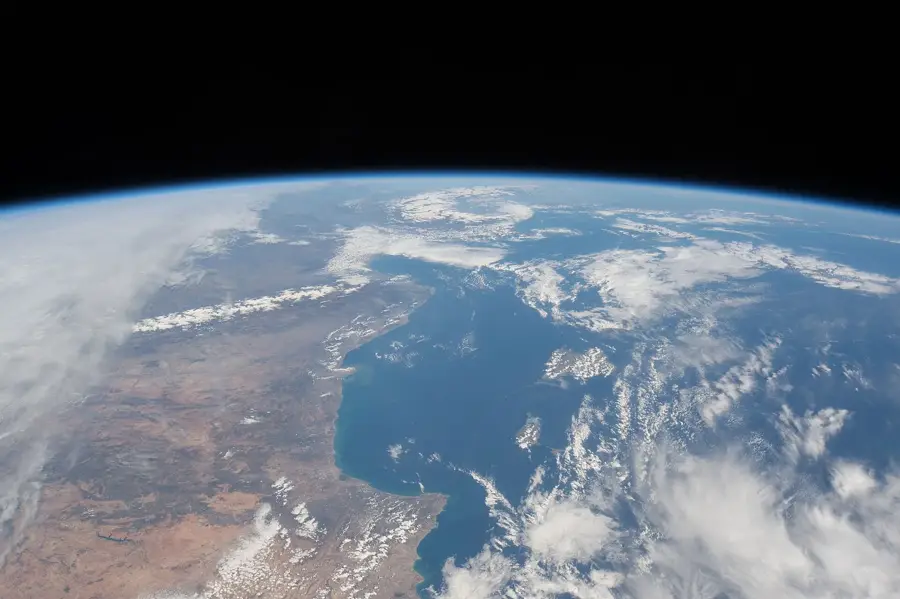
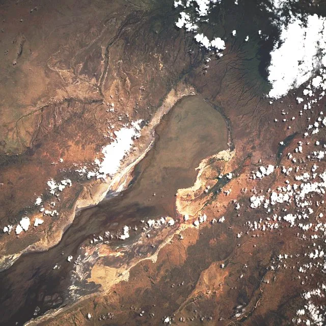
The Nador West Med port is a monumental infrastructure project located in the Betoya Bay on Morocco's Mediterranean coast. It was designed as a strategic counterpart to the Tangier-Med port to accelerate the economic development of the country's eastern region. The complex includes a massive deep-water port primarily specialized in the handling of energy products, containers, and bulk cargo. The facility serves as a central hub for the import and export of petroleum products, contributing significantly to national energy security. An extensive industrial free zone has been integrated in the immediate vicinity of the port, promoting industrial settlements in the logistics and manufacturing sectors. Due to its geographical location at the intersection of major maritime trade routes, Nador West Med strengthens Morocco's position as a leading logistics hub in the Western Mediterranean, providing efficient connections to European and international markets.
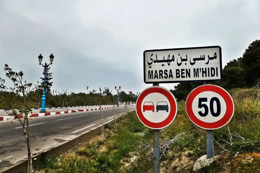
- Location: Morocco
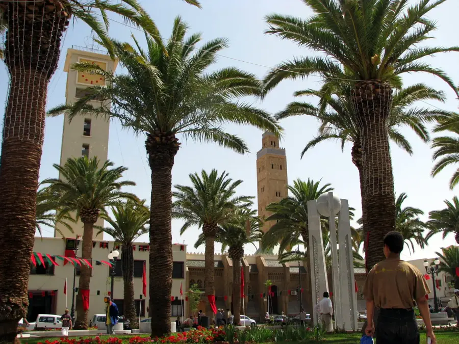
- Top sights: Fuerte de San Carlos · Fuerte de María Cristina · Museo Militar de Melilla
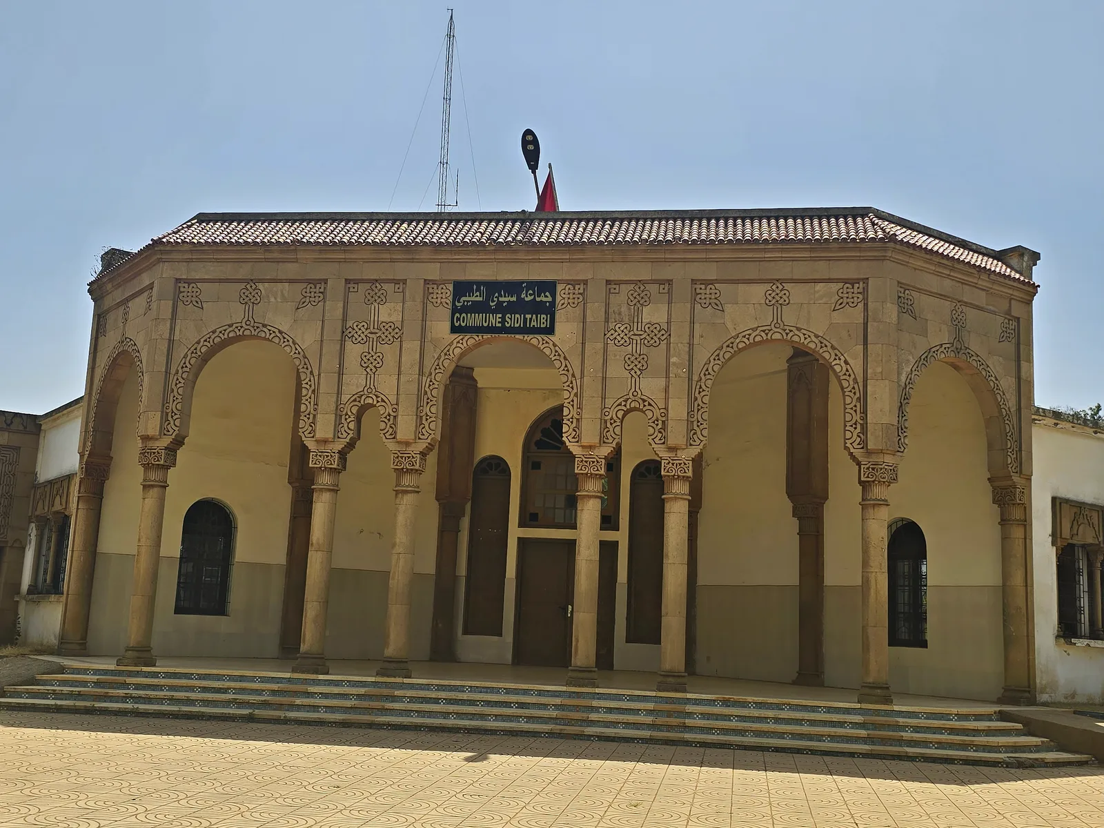
- Nearby: Nador (10 km)
Best time to visit & climate
The most pleasant time to visit is Jun, Jul, Oct.
| Jan | Feb | Mar | Apr | May | Jun | Jul | Aug | Sep | Oct | Nov | Dec | |
|---|---|---|---|---|---|---|---|---|---|---|---|---|
| Avg °C | 14 | 14 | 15 | 17 | 19 | 21 | 24 | 25 | 23 | 21 | 17 | 15 |
| Rain mm | 55 | 50 | 51 | 45 | 27 | 5 | 2 | 8 | 28 | 58 | 71 | 51 |
📋 Practical info
Geography
Facts
- The port's capacity is designed to handle 3 million TEU containers annually.
- The project includes an energy terminal with a storage capacity of 25 million tons of oil.
- Betoya Bay offers natural depths of up to 18 meters for large vessels.
- Integrated industrial zones cover an area of approximately 1,500 hectares.
- Nador West Med is part of Morocco's National Port Strategy for the year 2030.
- The complex features specialized terminals for the export of green hydrogen.
Explore nearby
Notable places around
Route planner — Car & Motorhome
Where do you start? We build the route here, with stops and country notes along the way.
© OpenStreetMap contributors · OpenRouteService
Sights in the town Port of Nador (9)
Sights nearby
Frequently asked questions
What is the function of the port of Nador?
Is the port accessible to tourists?
What makes the Nador region special?
When is the best time for a visit?
What is near Nador?
Port of Nador: where is it located?
Port of Nador: what is there to see?
Port of Nador: when is the best time to visit?
Port of Nador: why is it worth visiting?

Nearby cities
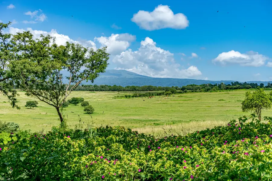
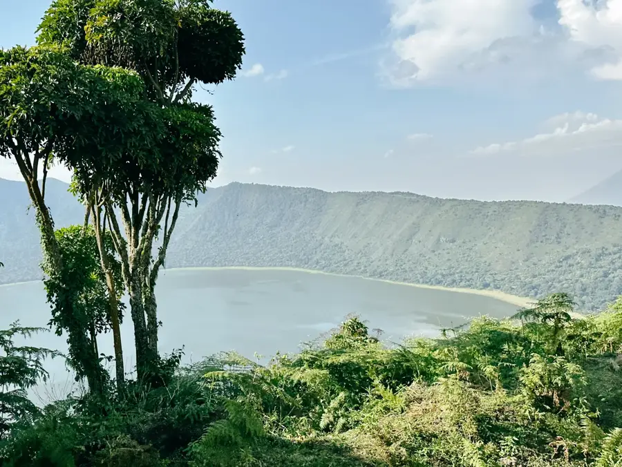
Nature
More places