Plizio Visual Lab
Moulouya
Weather…
Water temperature…
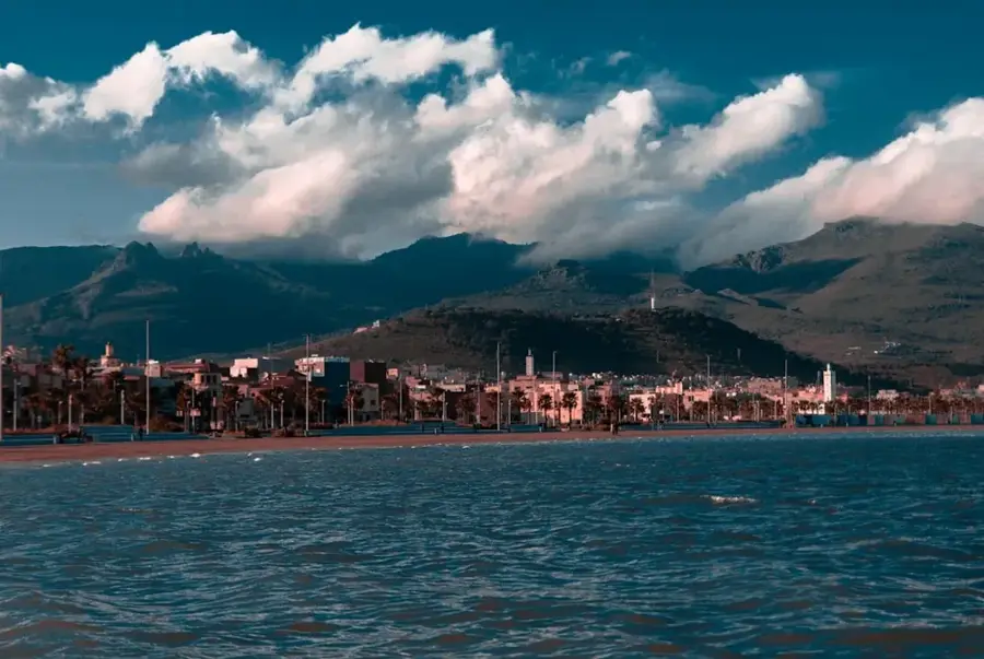
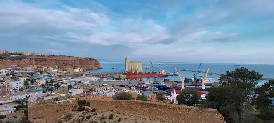
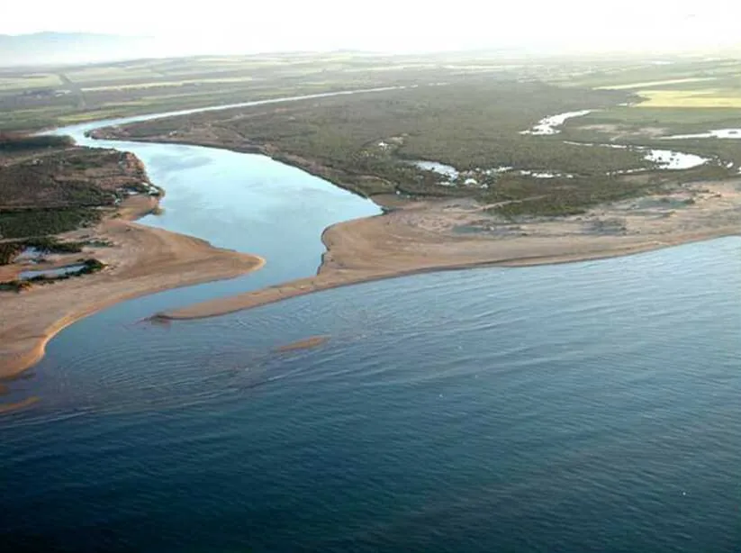
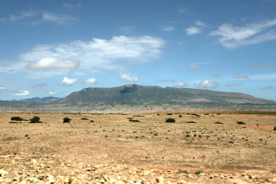
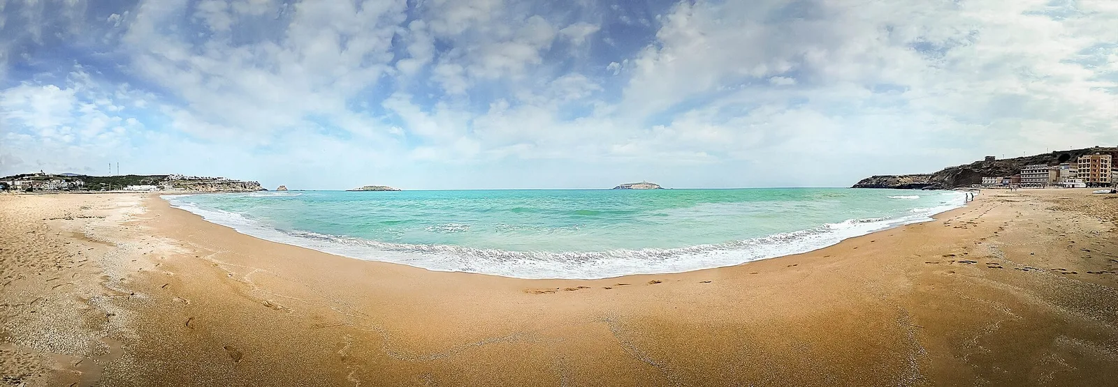
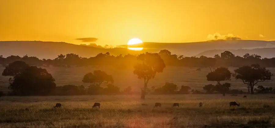
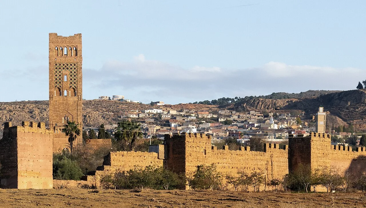
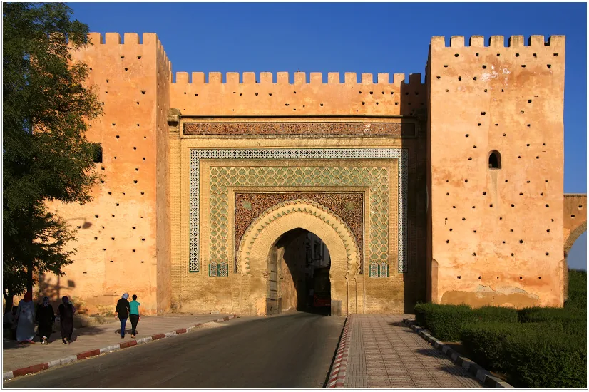
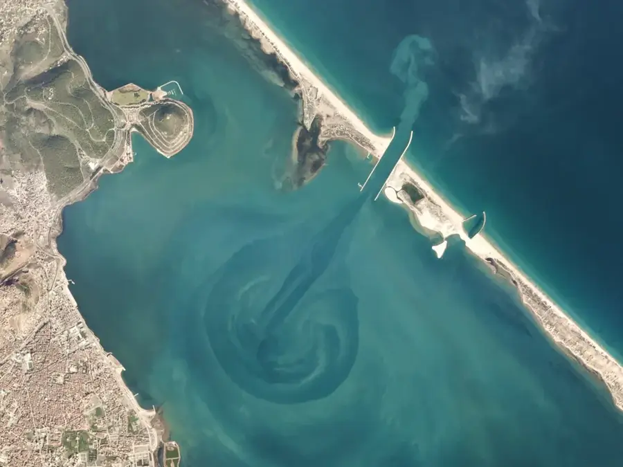
The Moulouya River, stretching approximately 520 kilometers, is one of Morocco's most significant rivers and the largest to flow into the Mediterranean Sea. It originates in the Middle Atlas at Jbel Ayachi and flows northeastward through arid territories before reaching the coast near Saïdia. The river plays a vital role in the agriculture of eastern Morocco, particularly by irrigating the expansive farmlands near Berkane. Several dams, such as the Mohamed V Dam completed in 1967, regulate its water levels and are used for hydroelectric power generation. The Moulouya estuary is protected as a Site of Biological and Ecological Interest (SIBE), providing a critical habitat for numerous migratory bird species. Despite its importance, the river faces challenges from seasonal flow fluctuations and increasing pollution from industrial runoff. Historically, the Moulouya often served as a border between various dynasties and tribal territories. Its drainage basin covers about 54,000 square kilometers, making it a key factor in the region's ecological stability.
- Location: Morocco
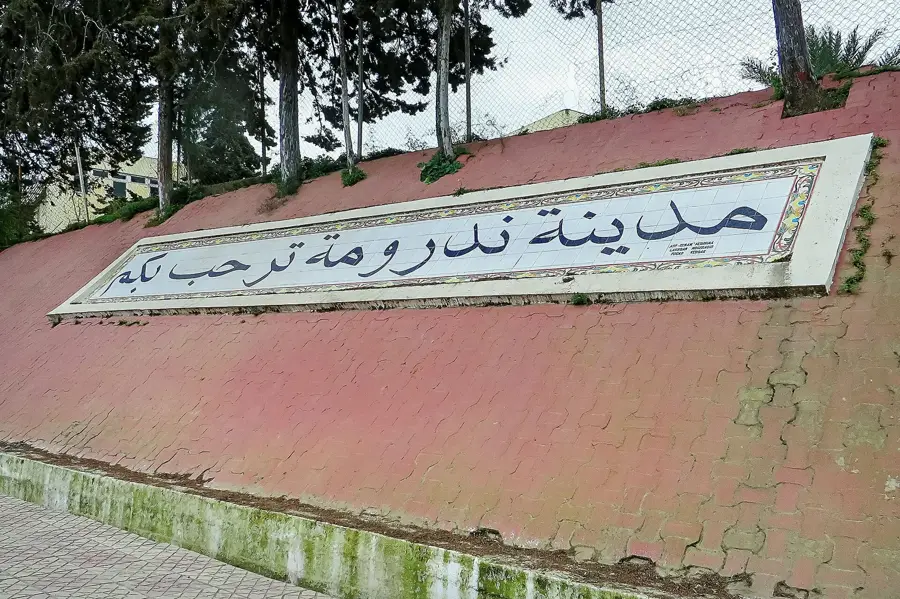
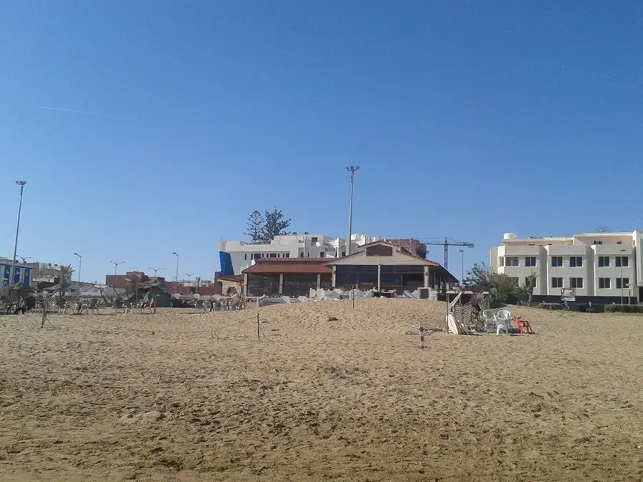
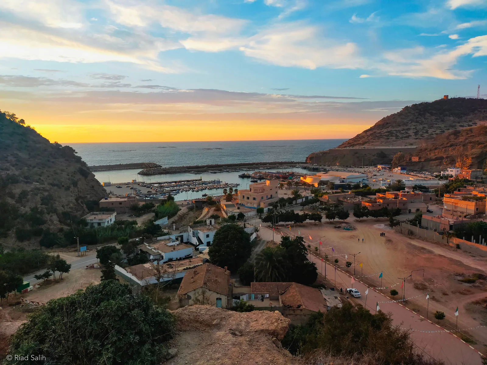
- Nearby: Saidia (9 km)
Best time to visit & climate
The most pleasant time to visit is May, Jun, Sep.
| Jan | Feb | Mar | Apr | May | Jun | Jul | Aug | Sep | Oct | Nov | Dec | |
|---|---|---|---|---|---|---|---|---|---|---|---|---|
| Avg °C | 11 | 12 | 14 | 16 | 19 | 23 | 26 | 27 | 23 | 20 | 15 | 12 |
| Rain mm | 64 | 47 | 51 | 59 | 40 | 11 | 7 | 19 | 34 | 58 | 78 | 57 |
📋 Practical info
Geography
Facts
- The river's total length is approximately 520 km.
- Largest Moroccan river flowing into the Mediterranean.
- Source is located at Jbel Ayachi in the Middle Atlas.
- Mohamed V Dam began operations in 1967.
- The drainage basin spans 54,000 square kilometers.
- The estuary is a protected area for migratory birds.
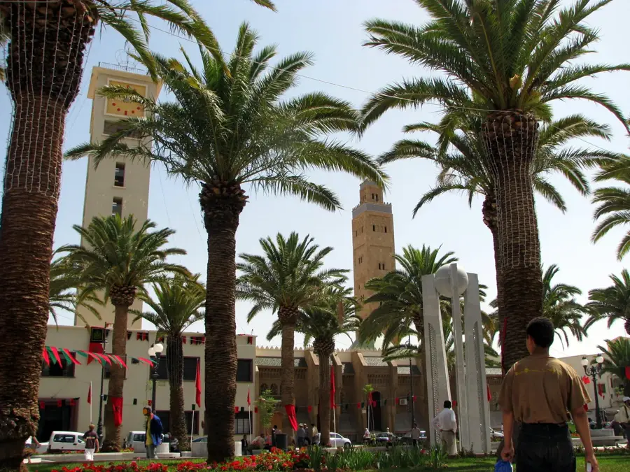
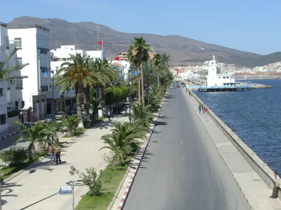
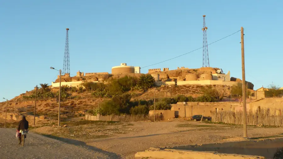
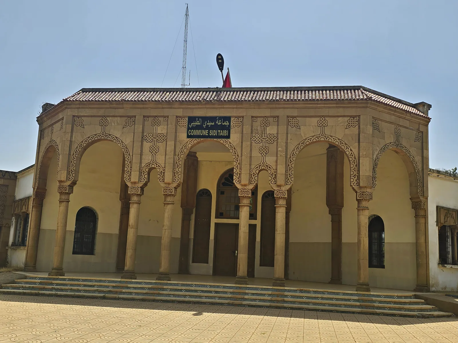
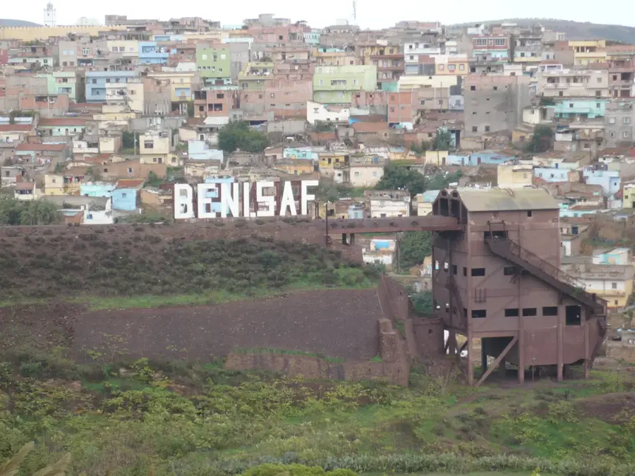
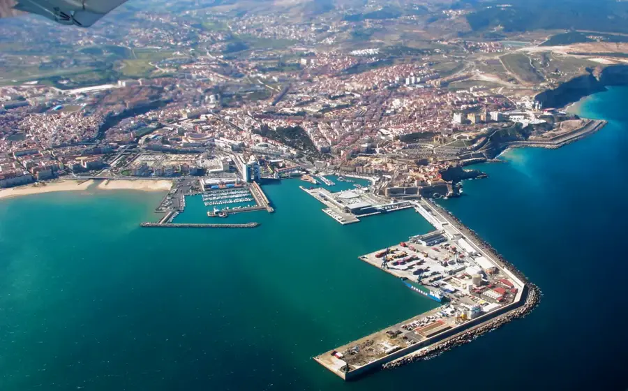
Explore nearby
Notable places around
Route planner — Car & Motorhome
Where do you start? We build the route here, with stops and country notes along the way.
© OpenStreetMap contributors · OpenRouteService
Sights nearby
Frequently asked questions
Where does the Moulouya River originate?
Can you swim in the Moulouya River?
What animals can be seen at the river?
Is the river suitable for canoeing?
How do you reach the Moulouya estuary?
Moulouya: where is it located?
Moulouya: when is the best time to visit?
Moulouya: why is it worth visiting?

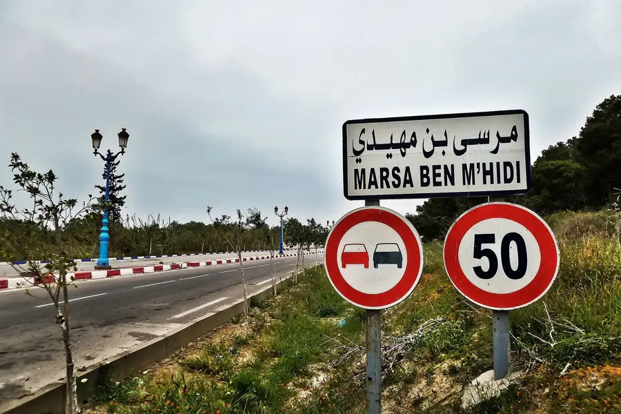
Nearby cities
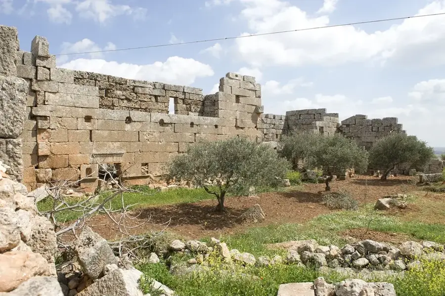
History & landmarks
Nature
More places