Plizio Visual Lab
Ćehotina River
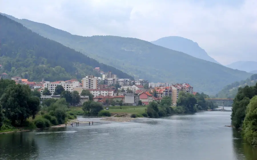
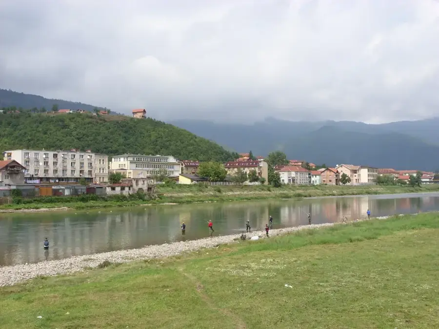
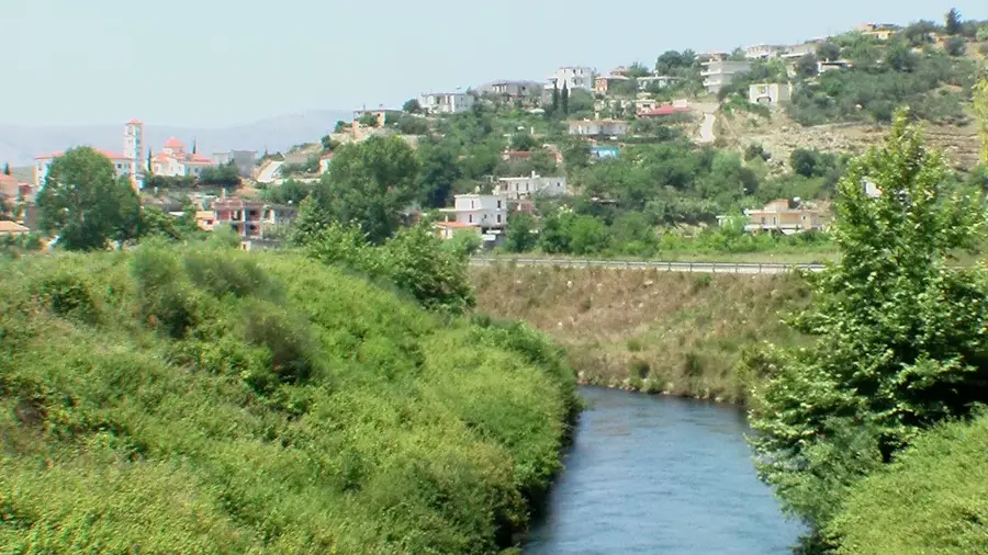
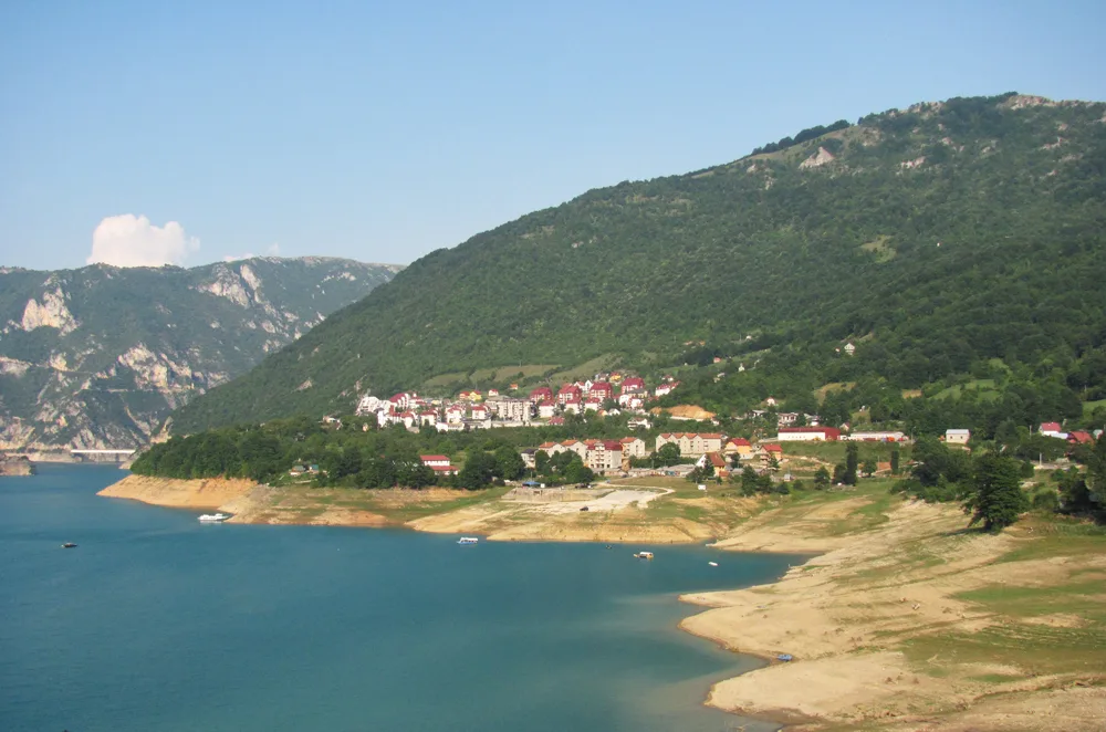
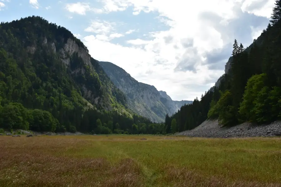
The Ćehotina is a significant right tributary of the Drina River in northern Montenegro, with a total length of approximately 125 kilometers. It originates near the town of Pljevlja at the foot of the Stožer mountain and winds through deep canyons and scenic valleys toward Bosnia and Herzegovina. One of its most striking features is the Otlovice meanders, where the river has carved tight, serpent-like bends into a deep limestone canyon, creating a dramatic natural landscape. The river is renowned for its high water quality and abundance of fish, particularly trout and huchen, making it a premier destination for fly fishing. Historically, the Ćehotina valley served as an important trade route connecting the hinterland with the broader Drina basin. The river is central to the life of Pljevlja, providing water and supporting local industry, while the Otilovići reservoir on its course gives both hydroelectric power and recreational opportunities for residents and visitors alike.
- Location: Montenegro
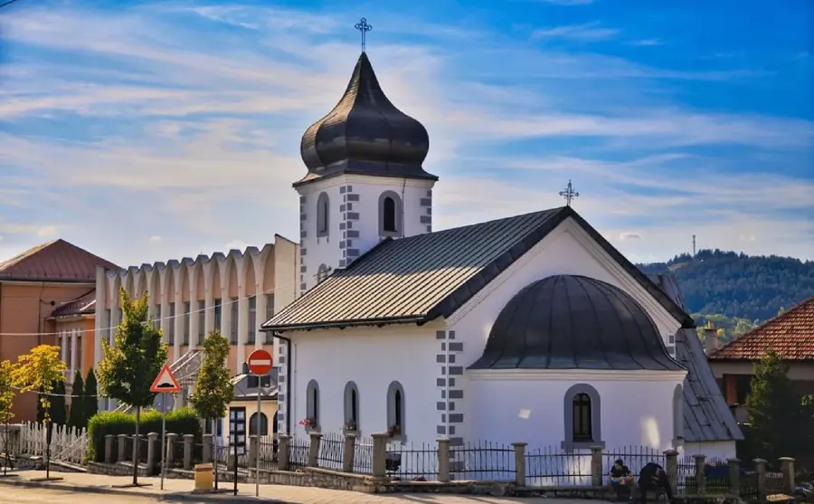
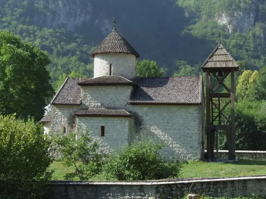
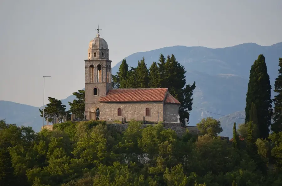
- Top sights: Husein-pašina džamija · Etno Kuća "Ruža" · Mrestilište Vodice
- Nearby: Zabljak (28 km)
Best time to visit & climate
The most pleasant time to visit is Jun–Aug.
| Jan | Feb | Mar | Apr | May | Jun | Jul | Aug | Sep | Oct | Nov | Dec | |
|---|---|---|---|---|---|---|---|---|---|---|---|---|
| Avg °C | -2 | -1 | 3 | 8 | 12 | 16 | 19 | 19 | 14 | 9 | 4 | -1 |
| Rain mm | 72 | 71 | 78 | 71 | 94 | 107 | 76 | 62 | 78 | 80 | 89 | 81 |
📋 Practical info
Geography
Facts
- Length of 125 kilometers
- Right tributary of the Drina
- Famous Otlovice meanders
- Source near Pljevlja
- Otilovići reservoir on its course
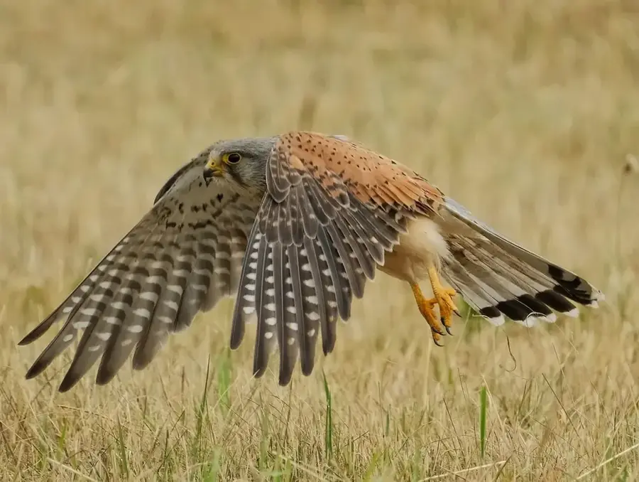
- Habitat for huchen fish
Explore nearby
Notable places around
Route planner — Car & Motorhome
Where do you start? We build the route here, with stops and country notes along the way.
© OpenStreetMap contributors · OpenRouteService
Sights in the town Ćehotina River (4)
Sights nearby
Frequently asked questions
Where can the famous meanders of the Ćehotina be found?
Is the river suitable for fishing?
How long is the Ćehotina?
Can you go kayaking on the river?
What does the Otilovići Lake represent?
Ćehotina River: where is it located?
Ćehotina River: what is there to see?
Ćehotina River: when is the best time to visit?
Ćehotina River: why is it worth visiting?

Nearby cities


History & landmarks

Nature


More places