Plizio Visual Lab
Dniester River
Weather…
Water temperature…
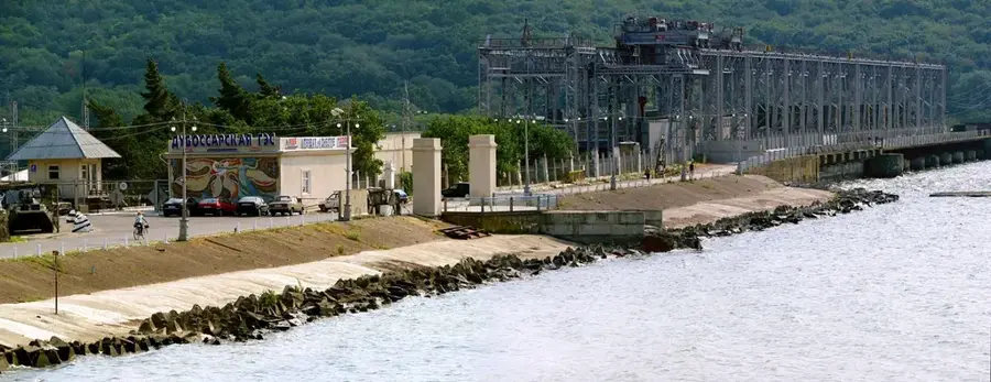
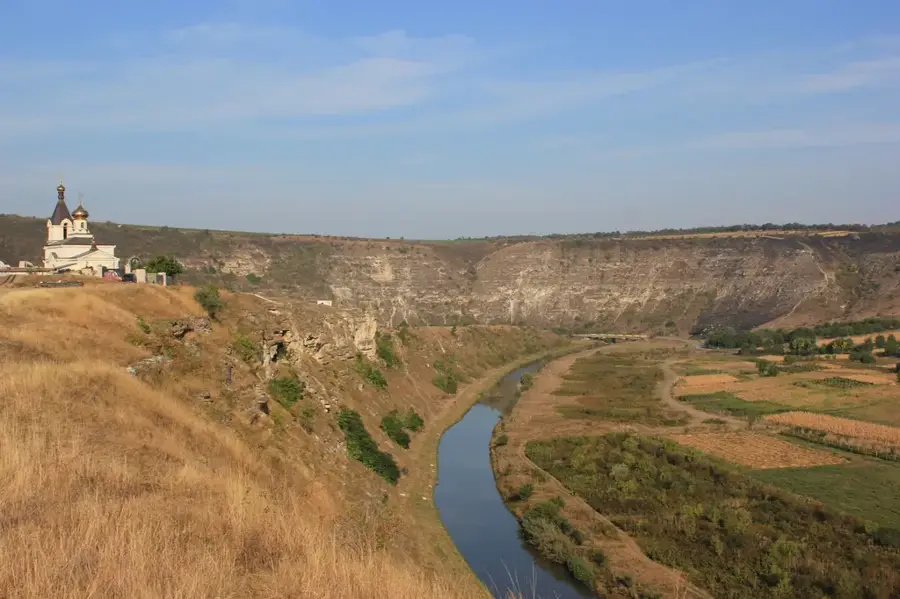
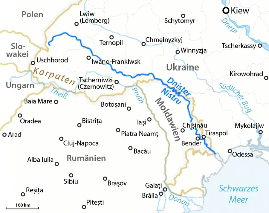
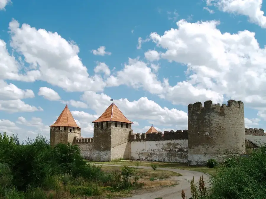
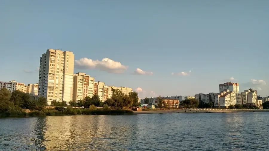
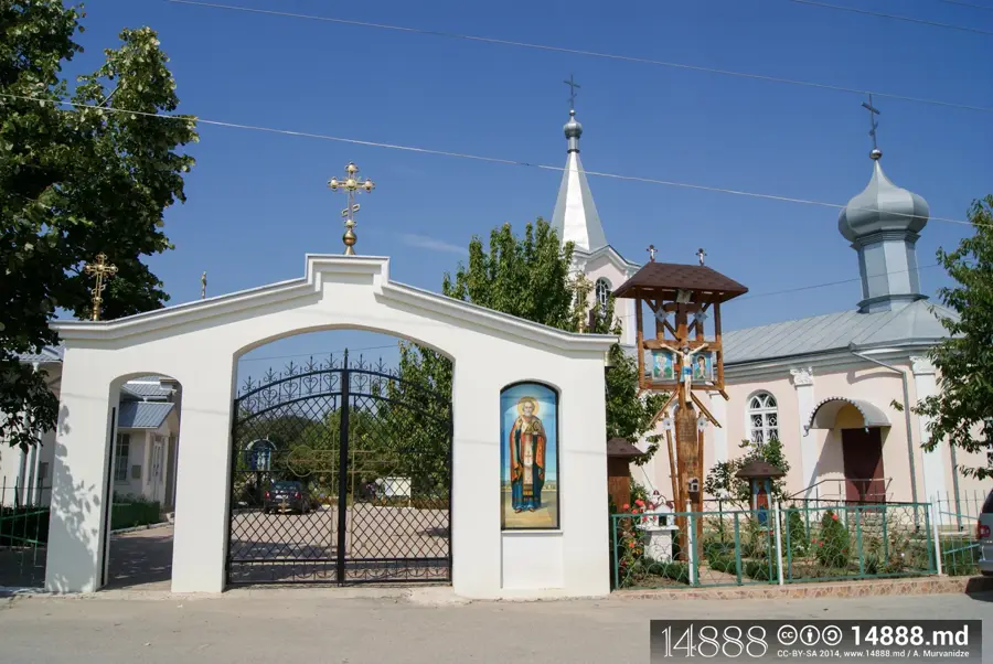
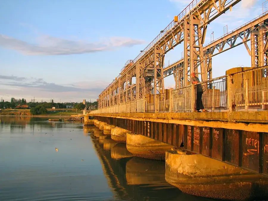
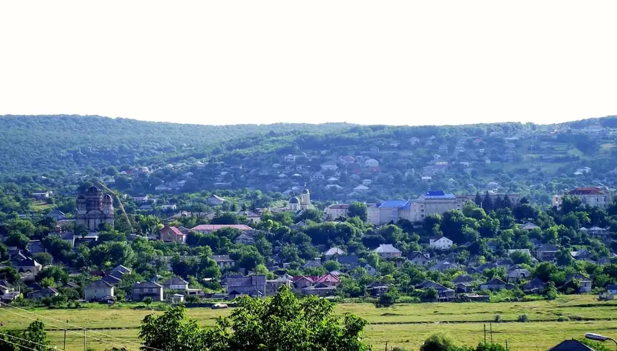
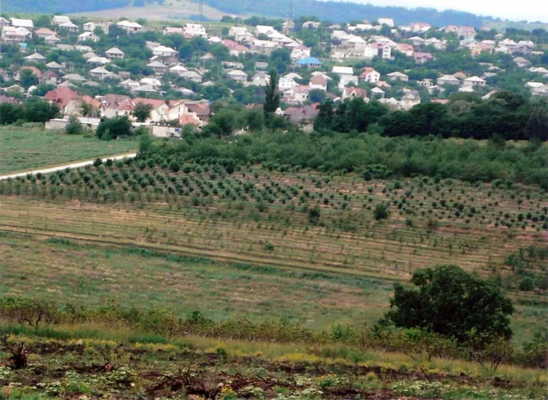
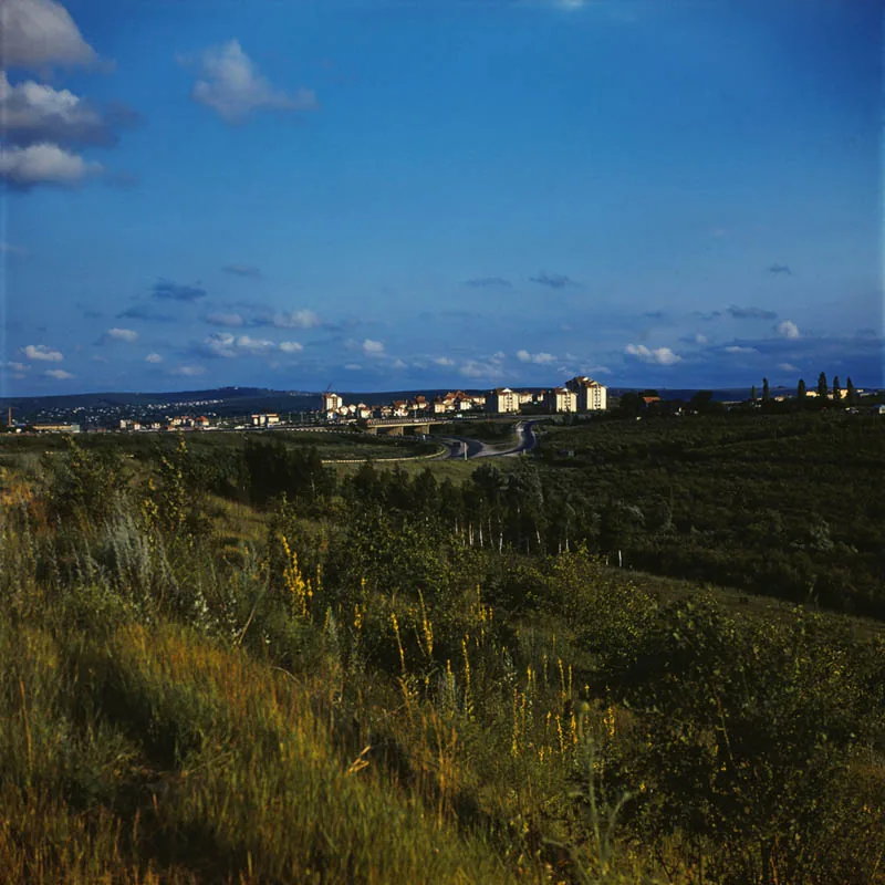
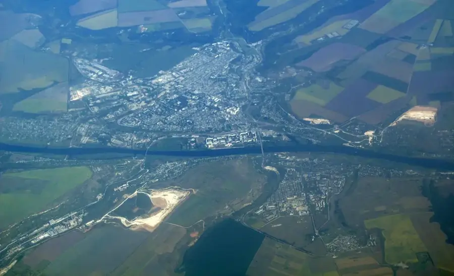
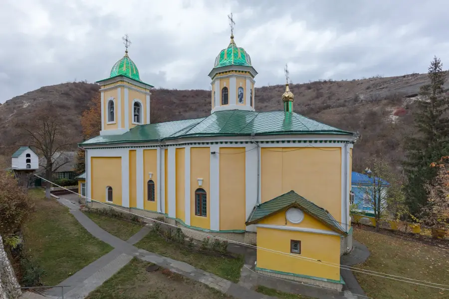
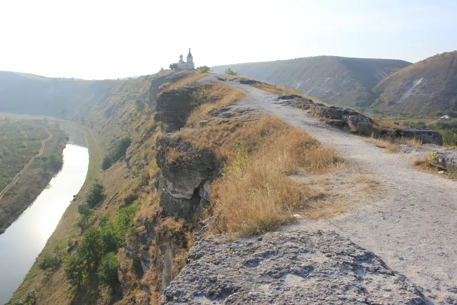
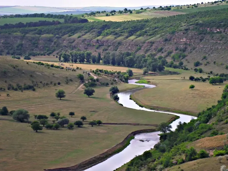
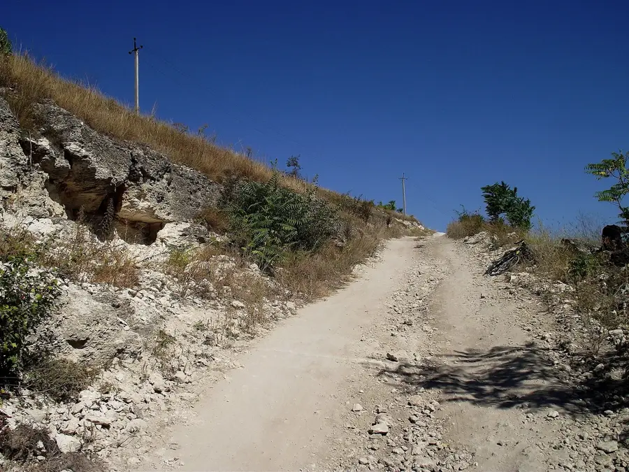
The Dniester (Nistru) is the most vital river in Moldova, flowing for approximately 1,362 kilometers from the Ukrainian Carpathians to the Black Sea. Geographically, it traverses the country from northwest to southeast, forming extensive stretches of the natural border with Ukraine and serving as the dividing line for the Transnistria region. Historically known by its ancient name 'Tyras,' the river has functioned for centuries as a strategic trade route and a defensive barrier between major powers, including the Ottoman and Russian Empires. The Dniester is the primary source of drinking water for major urban centers such as Chișinău and Tiraspol. Its basin supports a rich array of flora and fauna, and its banks are dotted with historical landmarks like the Soroca Fortress. Today, the river faces significant ecological challenges due to hydroelectric dams and pollution, necessitating international cooperation for its preservation. The varied landscapes along its banks, from northern deep gorges to southern floodplains, profoundly shape the nation's cultural and natural heritage.
- Location: Moldova
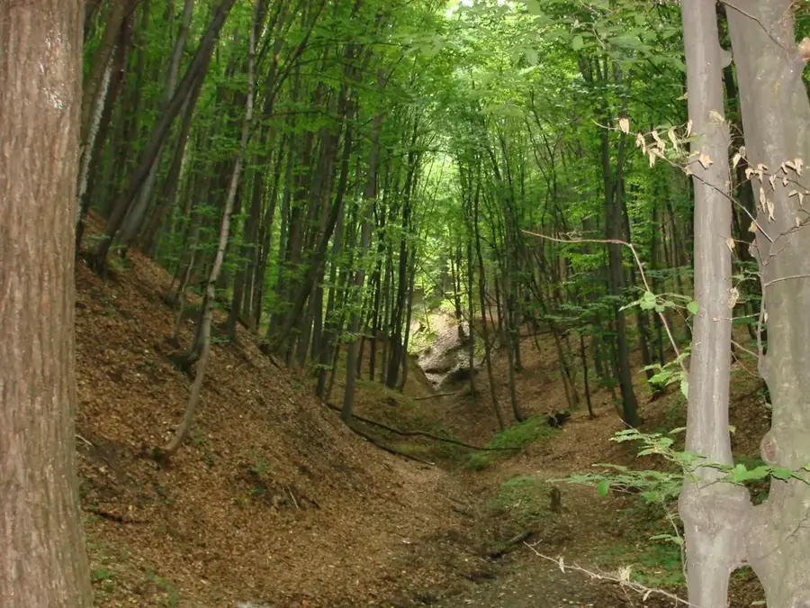
- Top sights: Cascadă · Defileul Morovaia · Izvoare
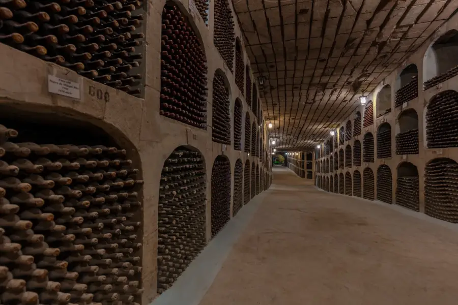
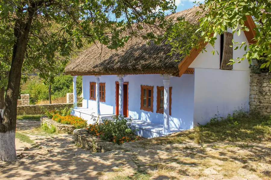
- Nearby: Butuceni Historical Village (15 km)
Best time to visit & climate
The most pleasant time to visit is Jun–Aug.
| Jan | Feb | Mar | Apr | May | Jun | Jul | Aug | Sep | Oct | Nov | Dec | |
|---|---|---|---|---|---|---|---|---|---|---|---|---|
| Avg °C | -4 | -2 | 4 | 10 | 17 | 21 | 23 | 23 | 17 | 10 | 4 | -2 |
| Rain mm | 40 | 33 | 37 | 38 | 53 | 69 | 60 | 37 | 41 | 44 | 40 | 38 |
📋 Practical info
Geography
Facts
- The total length of the river is 1,362 km.
- Known as 'Tyras' during ancient Greek times.
- Primary drinking water source for Moldova.
- Forms the border with the Transnistria region.
- Empties into the Black Sea via the Dniester Liman.
- Flows through two countries: Ukraine and Moldova.
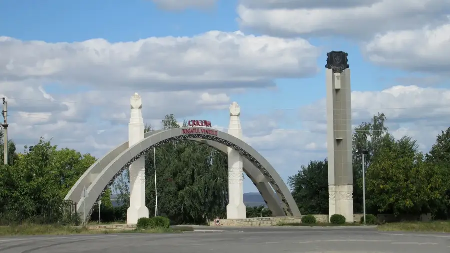
Explore nearby
Notable places around
Route planner — Car & Motorhome
Where do you start? We build the route here, with stops and country notes along the way.
© OpenStreetMap contributors · OpenRouteService
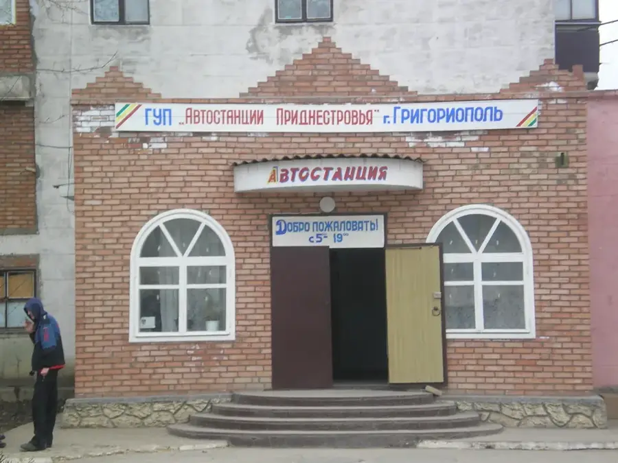
Sights in the town Dniester River (3)
Sights nearby
Frequently asked questions
Can you go canoeing on the Nistru river?
Is the water suitable for swimming?
What fish are in the river?
Are there monasteries on the riverbank?
Can you cross the border into Transnistria?
Dniester River: where is it located?
Dniester River: what is there to see?
Dniester River: when is the best time to visit?
Dniester River: why is it worth visiting?

Nearby cities
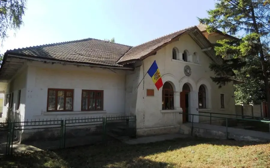
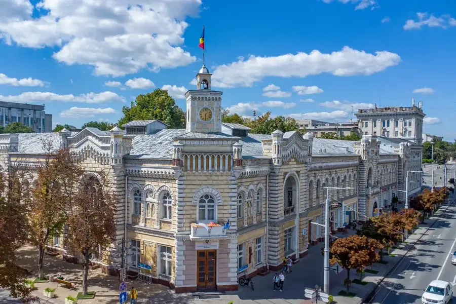
History & landmarks
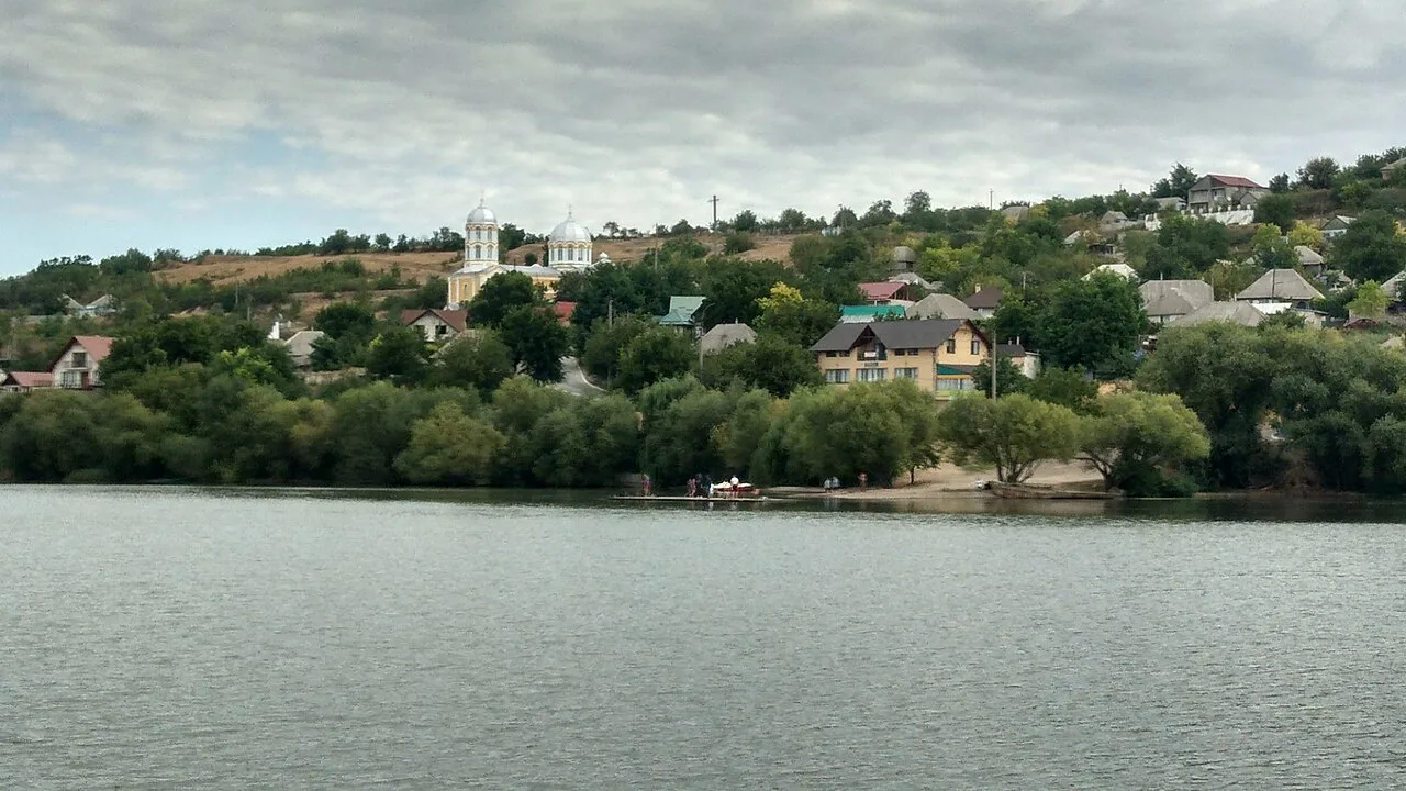
Nature

More places