Plizio Visual Lab
Nanpil River Basin

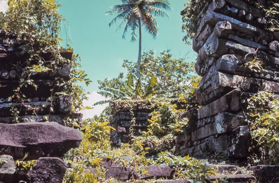
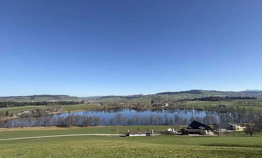
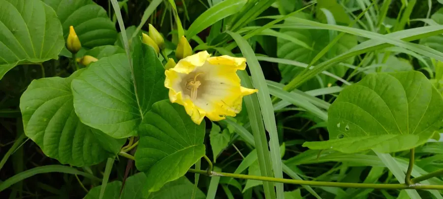
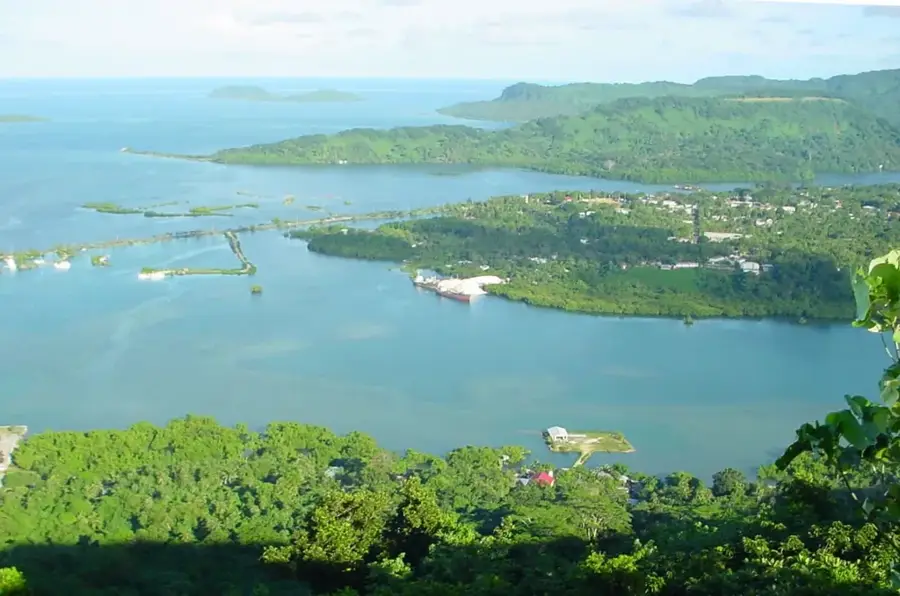
The Nanpil River Basin on the island of Pohnpei is a critical hydrological and ecological sanctuary within the Federated States of Micronesia. Originating in the island's high-rainfall mountain interior, the river flows through some of the most pristine and biodiverse rainforests in the Pacific. This basin serves as the primary reservoir for Pohnpei's municipal water supply, making its preservation a national priority. Along its course, the Nanpil creates dramatic landscapes, most notably the Liduduhniap Waterfalls, where the river cascades over ancient volcanic basalt into deep, refreshing pools. The surrounding jungle is a haven for endemic bird species and diverse aquatic life, including native freshwater eels and gobies. For eco-tourists and researchers, the Nanpil River Basin gives a rare window into a functional tropical watershed, characterized by towering tree ferns, ancient hardwoods, and an atmosphere of primeval tranquility. Its role as both a life-sustaining resource and a hotspot for biodiversity underscores the ecological wealth of Pohnpei's inland terrain.
- Location: Micronesia
- Top sights: Dolen Kahmar · Lududuhniap Falls · Bridge over stream near sakau
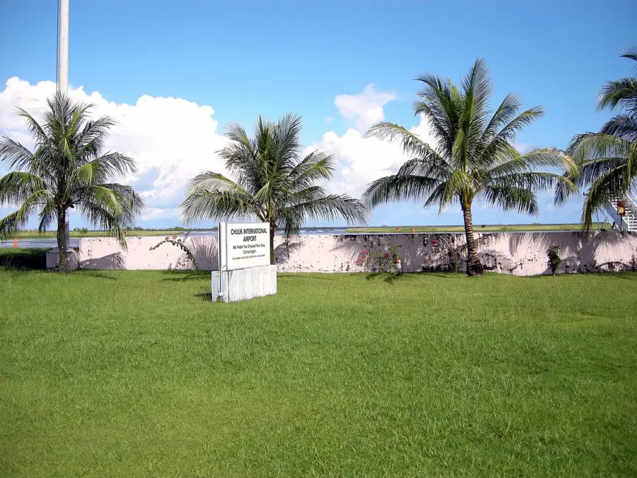
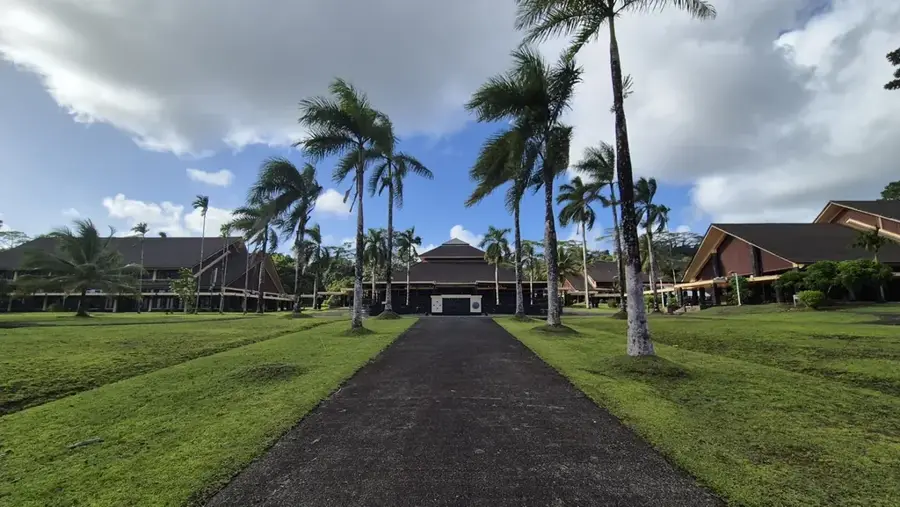
- Nearby: Kolonia Business District (5 km)
Best time to visit & climate
The most pleasant time to visit is Jan–Mar.
| Jan | Feb | Mar | Apr | May | Jun | Jul | Aug | Sep | Oct | Nov | Dec | |
|---|---|---|---|---|---|---|---|---|---|---|---|---|
| Avg °C | 28 | 28 | 28 | 28 | 28 | 28 | 28 | 28 | 28 | 28 | 28 | 28 |
| Rain mm | 205 | 161 | 219 | 251 | 290 | 243 | 268 | 238 | 264 | 264 | 274 | 250 |
📋 Practical info
Geography
Facts
- Site of Pohnpei's first hydroelectric plant
- Main source of drinking water for the capital
- Habitat for the endemic Pohnpei Lorikeet
- Flows through pristine primary rainforest
- Known for the Liduduhniap Waterfall
- The area is of volcanic origin
Explore nearby
Notable places around
Route planner — Car & Motorhome
Where do you start? We build the route here, with stops and country notes along the way.
© OpenStreetMap contributors · OpenRouteService
Sights in the town Nanpil River Basin (4)
Sights nearby
Frequently asked questions
Can you swim in the Nanpil River?
Are there waterfalls there?
Is the path slippery?
Are there toilets there?
Do you have to pay a fee?
Nanpil River Basin: where is it located?
Nanpil River Basin: what is there to see?
Nanpil River Basin: when is the best time to visit?
Nanpil River Basin: why is it worth visiting?

Nearby cities


History & landmarks


Nature

More places