Plizio Visual Lab
Pohnpei Mangroves
Weather…
Water temperature…
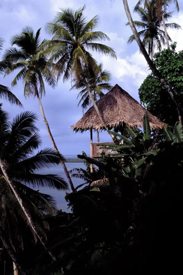
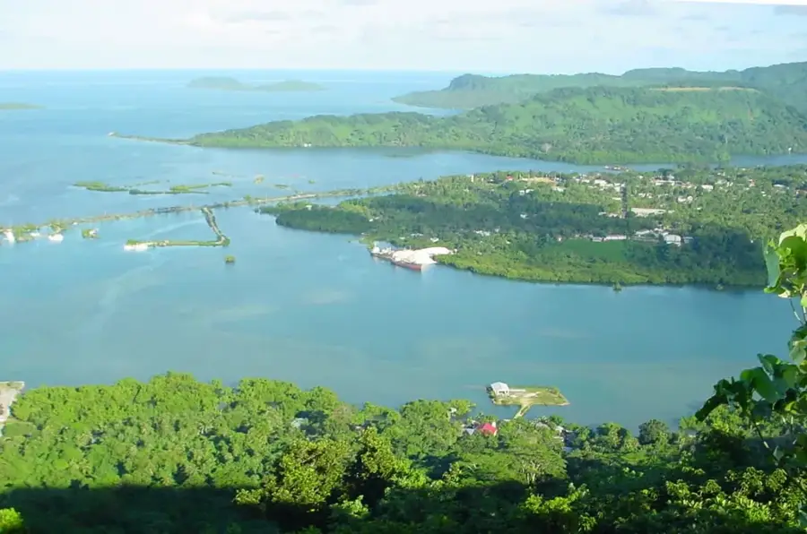
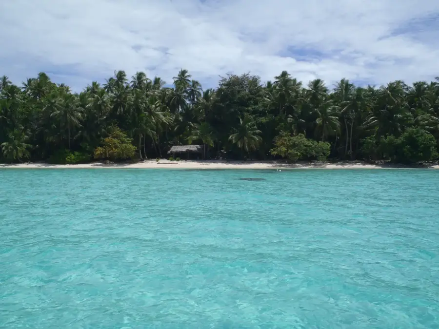
The mangrove forests of Pohnpei cover approximately 5,500 hectares, forming an extensive and ecologically vital coastal fringe around this Micronesian island. These dense forests serve as a critical natural defense system, protecting the coastline from erosion and the impact of tropical storms. By filtering sediments from inland runoff, the mangroves maintain the water clarity essential for the survival of nearby coral reefs. This intricate root network functions as a nursery for a vast array of marine species, supporting the local fishing industry and overall biodiversity. Pohnpei's mangroves are also the exclusive habitat of the endemic Pohnpei honeyeater, a bird species found nowhere else on Earth. Furthermore, these forests are powerhouse carbon sinks, playing a significant role in global carbon sequestration. Exploring the tranquil tidal channels by boat or kayak features a unique opportunity to witness one of the Pacific's most pristine and productive natural environments.
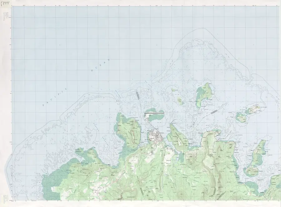
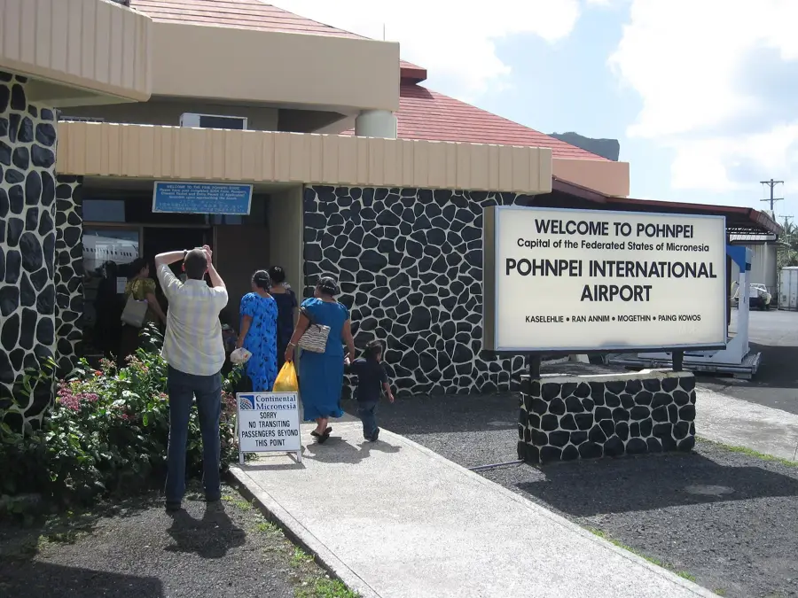
- Location: Micronesia
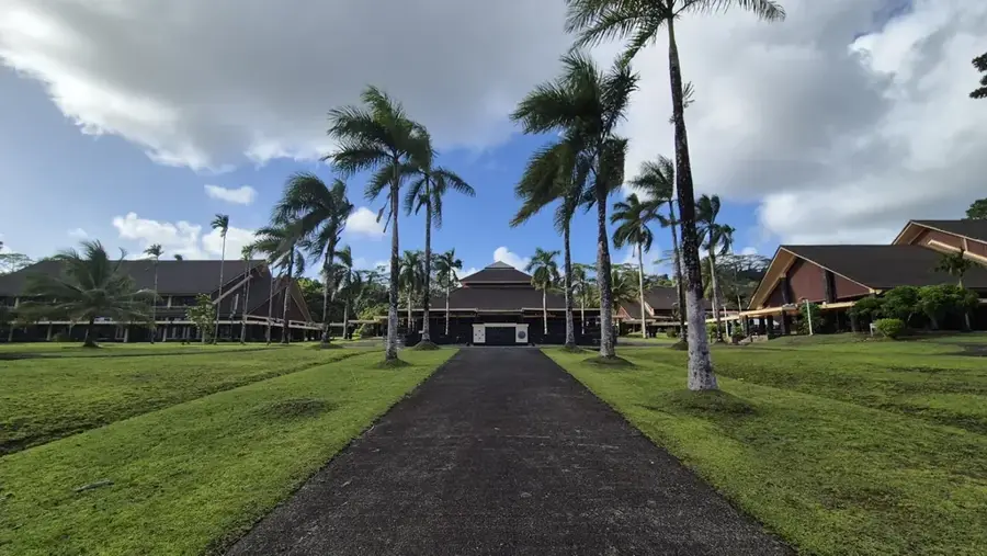
- Top sights: Bridge over stream near sakau · Dolen Metipw · Dolen Nier
- Nearby: Sokehs (4 km)
Best time to visit & climate
The most pleasant time to visit is Jan–Mar.
| Jan | Feb | Mar | Apr | May | Jun | Jul | Aug | Sep | Oct | Nov | Dec | |
|---|---|---|---|---|---|---|---|---|---|---|---|---|
| Avg °C | 28 | 28 | 28 | 28 | 28 | 28 | 28 | 28 | 28 | 28 | 28 | 28 |
| Rain mm | 205 | 161 | 219 | 251 | 290 | 243 | 268 | 238 | 264 | 264 | 274 | 250 |
📋 Practical info
Geography
Facts
- About 15% of Pohnpei's total land area is covered by mangroves.
- At least 10 different species of mangrove trees are found here.
- They protect the inland areas from storm surges and typhoons.
- Canoes are the traditional mode of transport within the channels.
- The forests are home to the endemic Pohnpei honeyeater bird.
- Mangrove crabs are a vital source of protein for the local diet.
Explore nearby
Notable places around
Route planner — Car & Motorhome
Where do you start? We build the route here, with stops and country notes along the way.
© OpenStreetMap contributors · OpenRouteService
Sights in the town Pohnpei Mangroves (10)
Dolen Kahmar
A mountain in the Federated States of Micronesia, located on Pohnpei.
The Church of Jesus Christ of Latter-day Saints
A church of the Latter-day Saints on Pohnpei, Micronesia.
Kosrae-Kolonia Congregational Church
A congregational church in Kolonia, Pohnpei, Micronesia.
Japanese WW2 Tank Graveyard
A site with abandoned Japanese tanks from World War II on Pohnpei.
Victory Baptist Church
A Baptist church on Pohnpei, Micronesia.
Lududuhniap Falls
A waterfall on Pohnpei, Micronesia, surrounded by tropical vegetation.
Pohnpei Lidorkini Museum🏛 museum
A museum on Pohnpei, Micronesia, showcasing local culture.
Sights nearby
Frequently asked questions
How is the best way to explore the mangroves?
Are there dangerous animals in the mangroves?
Why are the mangroves important?
When is the best time for a kayak tour?
Should I expect mud?
Pohnpei Mangroves: where is it located?
Pohnpei Mangroves: what is there to see?
Pohnpei Mangroves: when is the best time to visit?
Pohnpei Mangroves: why is it worth visiting?

Nearby cities


History & landmarks

Nature

More places