Plizio Visual Lab
Ajeltake

ℹ️Practical info — Ajeltake
▾
🌤 Weather — 5 days
📍 Nearby
Sights nearby
💡 Tips
- Rent a scooter or car to explore the western part of Majuro Atoll, as public transport is limited in this residential area.
- Bring cash, as most small local stores do not accept credit cards.
- Respect local customs and dress modestly when walking through the residential neighborhoods.
- The area is well-suited for witnessing everyday local life away from the commercial centers.
- Check the tide schedules if you plan to walk along the lagoon beaches.
🍽 Food
Buy fresh coconuts directly from local roadside stands along the main road.
Enjoy freshly caught local fish, often grilled or fried, available at small eateries in the wider Majuro area.
Try local staples made from breadfruit, a common starch used in traditional cooking.
🛍 Shopping · 🧘 Quiet spots
Small shops in the residential area offer basic snacks, drinks, and daily necessities.
Occasionally, locals sell woven items or shell jewelry directly from their homes or small stands.
Find a quiet spot on the lagoon side for peaceful views and calm waters.
Walk along the less developed coastline to enjoy the sound of the ocean away from the crowds.
Water temperature…
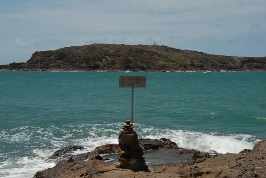
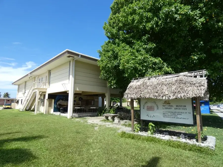
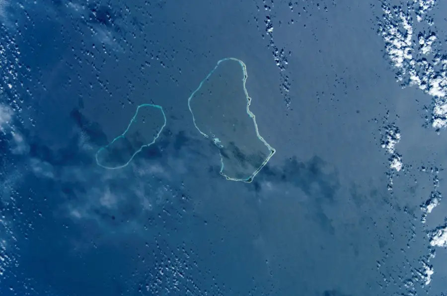
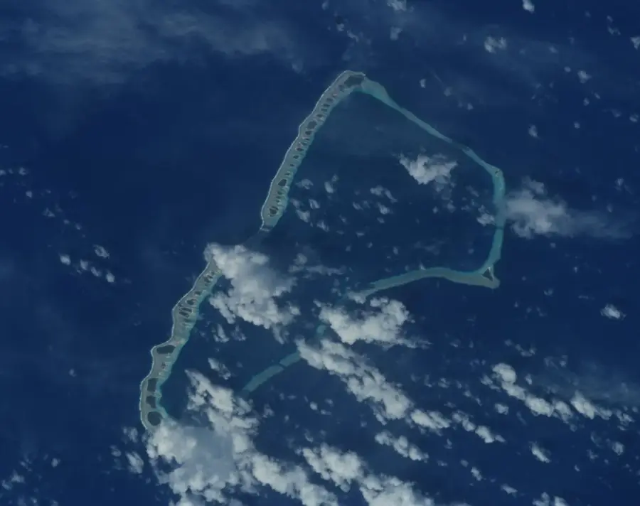
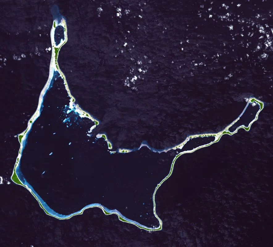
Ajeltake is one of the most significant settlements on the Majuro Atoll, located in the western portion of the Marshall Islands' capital atoll. The community stretches along the narrow ribbon of land between the open ocean and the calm lagoon, a geographic layout characteristic of atoll life. Primarily a residential area, Ajeltake serves as a key housing hub for commuters working in the eastern administrative centers of Delap, Uliga, and Djarrit (DUD). Despite gradual modernization, the settlement maintains a relaxed atmosphere and provides direct access to lagoon-side coral reefs and sandy shores. It is well-connected via the atoll's single main road, which links the international airport with the western village of Laura. For visitors, Ajeltake has an authentic look into the Marshallese way of life, where daily rhythms are dictated by proximity to the sea and the unique challenges of living on a slender coral atoll.
- Location: Marshall Islands
- Nearby: Laura (15 km)
Best time to visit & climate
The most pleasant time to visit is Jan–Mar.
| Jan | Feb | Mar | Apr | May | Jun | Jul | Aug | Sep | Oct | Nov | Dec | |
|---|---|---|---|---|---|---|---|---|---|---|---|---|
| Avg °C | 28 | 28 | 28 | 28 | 28 | 28 | 28 | 28 | 28 | 28 | 28 | 28 |
| Rain mm | 161 | 137 | 162 | 227 | 211 | 223 | 252 | 234 | 260 | 276 | 267 | 224 |
Geography
Facts
- Population: approx. 1,200
- Distance from Majuro city center: 10 km
- Number of schools: 1
- Land area: 0.2 km²
- Year established: early 20th century
- Average household income: $8,000
Explore nearby
Notable places around
Route planner — Car & Motorhome
Where do you start? We build the route here, with stops and country notes along the way.
© OpenStreetMap contributors · OpenRouteService
Frequently asked questions
Is Ajeltake a good destination?
How much time is needed on site?
What can you see nearby?
Is it child-friendly?
Are there beaches there?
Ajeltake: where is it located?
Ajeltake: when is the best time to visit?
Ajeltake: why is it worth visiting?

Nearby cities


History & landmarks


Nature


More places