Plizio Visual Lab
Majuro Bridge
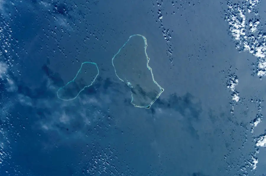
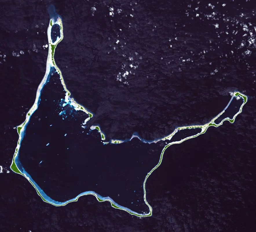
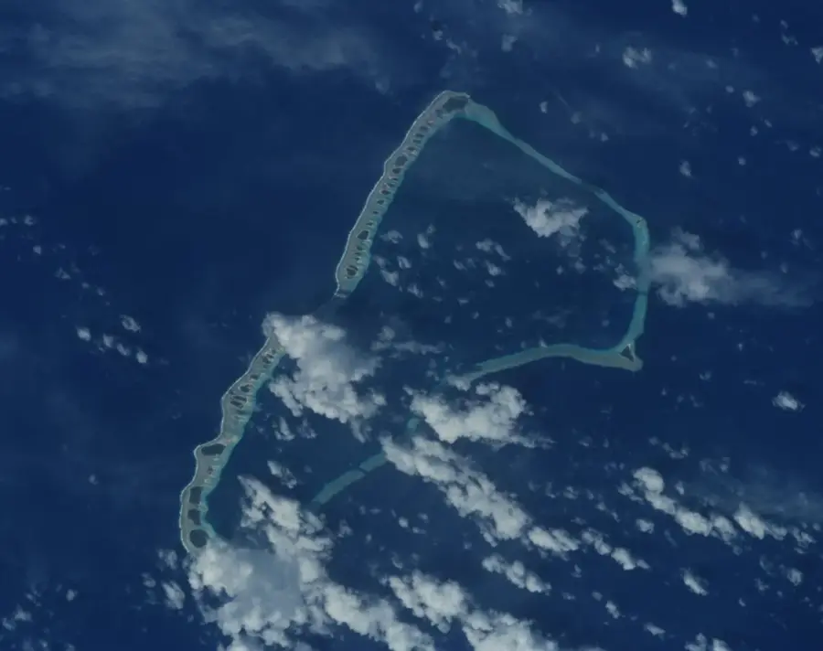
The Majuro Bridge is much more than a simple transportation link; it is a vital landmark and the highest point on the entire Majuro Atoll. Rising approximately 12 meters above the sea, it provides a rare elevated perspective in a nation composed of low-lying coral islands. From its apex, travelers can enjoy impressive dual vistas of the serene turquoise lagoon on one side and the vast, deep-blue Pacific Ocean on the other. The bridge stands as a symbol of the enduring friendship and economic partnership between Japan and the Marshall Islands, having been constructed with Japanese assistance. It spans a man-made channel that facilitates water circulation within the lagoon, playing a crucial role in the local environment. For residents and visitors alike, the bridge is a favorite spot to catch the sea breeze or watch the sunset, providing a unique vantage point that captures the essence of life on a narrow strip of land surrounded by water.
- Location: Marshall Islands
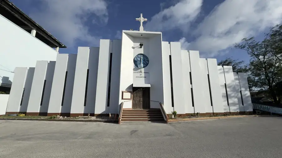
- Top sights: Marshall Islands War Memorial Park · Delap SDA church · Cathedral of the Assumption
- Nearby: Ajeltake (26 km)
Best time to visit & climate
The most pleasant time to visit is Jan–Mar.
| Jan | Feb | Mar | Apr | May | Jun | Jul | Aug | Sep | Oct | Nov | Dec | |
|---|---|---|---|---|---|---|---|---|---|---|---|---|
| Avg °C | 28 | 28 | 28 | 28 | 28 | 28 | 28 | 28 | 28 | 28 | 28 | 28 |
| Rain mm | 161 | 137 | 162 | 227 | 211 | 223 | 252 | 234 | 260 | 276 | 267 | 224 |
📋 Practical info
Geography
Facts
- The Majuro Bridge is 300 meters long.
- It was opened in 1970.
- The bridge underwent major renovation in 2010.
- It connects the islands of Uliga and Delap.
- Construction cost was approximately US$2 million.
- It carries about 10,000 vehicles daily.
Explore nearby
Notable places around
Route planner — Car & Motorhome
Where do you start? We build the route here, with stops and country notes along the way.
© OpenStreetMap contributors · OpenRouteService
Sights in the town Majuro Bridge (6)
Baet-ul-Ahad Mosque
Mosque in Majuro, used by the Muslim community of the Marshall Islands. A place for prayer and gathering.
Uliga United Church of Christ
Protestant church in Uliga, Majuro. Services and community activities are held here regularly.
Sights nearby
Frequently asked questions
Does the bridge connect all islands?
Can you walk across it?
Does the bridge offer a good view?
Is it open for vehicles?
Is parking allowed there?
Majuro Bridge: where is it located?
Majuro Bridge: what is there to see?
Majuro Bridge: when is the best time to visit?
Majuro Bridge: why is it worth visiting?

Nearby cities


History & landmarks

Nature


More places