Plizio Visual Lab
Mount Dimamou

Weather…
Water temperature…
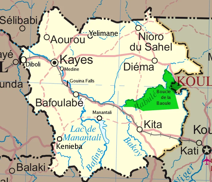
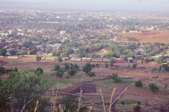
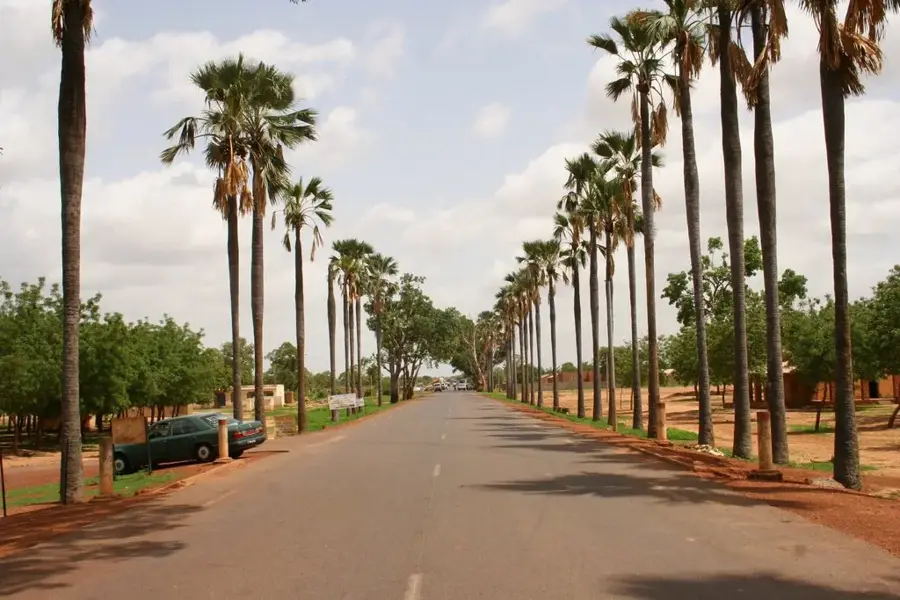
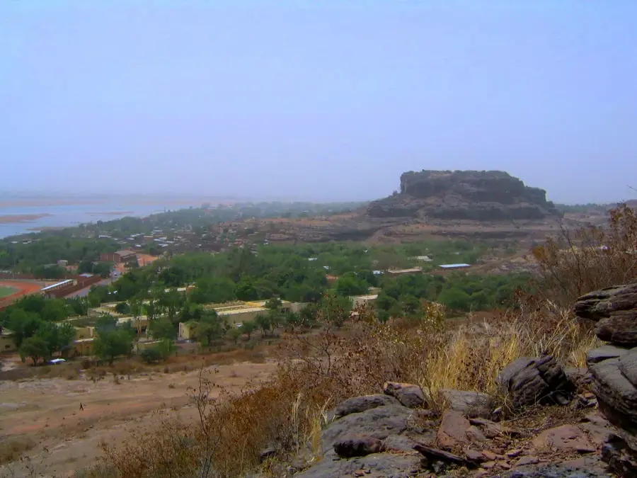
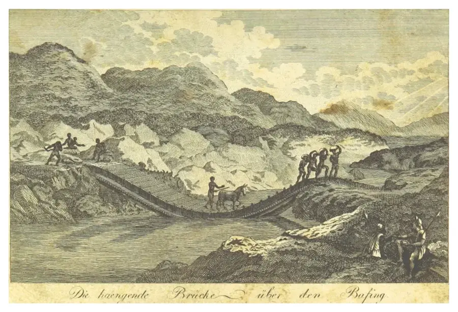
Mount Dimamou is a prominent peak in the southwestern highlands of Mali, located near the border with Guinea. Geographically, it is part of the Mandingue Plateau, a region renowned for its rugged sandstone formations and deep valleys. The mountain reaches an elevation of over 1,000 meters, and its exposed position often leaves its summit shrouded in clouds, creating a stark contrast with the surrounding dry savanna. The flora of Mount Dimamou is remarkably diverse; sheltered valleys contain remnants of gallery forests that provide sanctuary for numerous primate species and a rich variety of birds. Historically, the area surrounding the mountain served as a strategic refuge for local communities during the conflicts of the 19th century. The mountain's geological structure hints at ancient volcanic activity, which has rendered the soil in adjacent valleys particularly fertile. Today, Mount Dimamou is a key destination for eco-tourism and hiking, offering expansive panoramic views over the Bafing River basin. Local communities attribute spiritual significance to the mountain, reflected in various traditional ceremonies performed on its slopes. Despite its natural beauty, the region remains largely pristine due to challenging infrastructure and limited accessibility.
- Location: Mali
- Nearby: Kati (42 km)
Best time to visit & climate
The most pleasant time to visit is Jan, Nov, Dec.
| Jan | Feb | Mar | Apr | May | Jun | Jul | Aug | Sep | Oct | Nov | Dec | |
|---|---|---|---|---|---|---|---|---|---|---|---|---|
| Avg °C | 23 | 26 | 30 | 33 | 33 | 30 | 27 | 25 | 26 | 27 | 25 | 23 |
| Rain mm | 1 | 0 | 6 | 19 | 48 | 130 | 225 | 285 | 168 | 50 | 2 | 0 |
📋 Practical info
Geography
Facts
- Elevation exceeding 1,000 meters above sea level
- Part of the rugged Mandingue Plateau region
- Located in SW Mali near the Guinean border
- Historically a key refuge in the 19th century
- Home to rare primates and diverse birdlife
- Offers panoramic views over the Bafing basin
Explore nearby
Notable places around
Route planner — Car & Motorhome
Where do you start? We build the route here, with stops and country notes along the way.
© OpenStreetMap contributors · OpenRouteService
Sights nearby
Frequently asked questions
Is Mont Dimamou family-friendly?
Is a guide needed for the ascent?
Are there food options?
How long does the ascent take?
Is the summit dangerous in fog?
Mount Dimamou: where is it located?
Mount Dimamou: when is the best time to visit?
Mount Dimamou: why is it worth visiting?

Nearby cities
History & landmarks
Nature
More places