Plizio Visual Lab
Baoulé
Weather…
Water temperature…
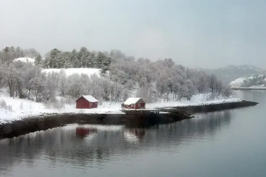
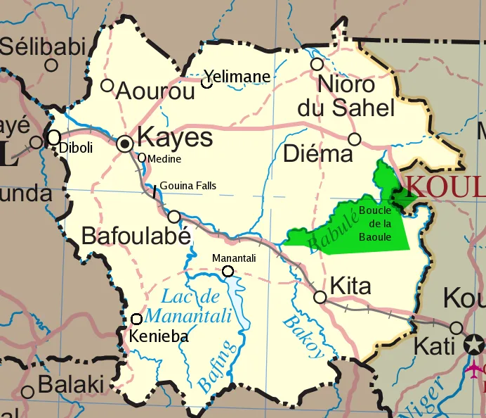
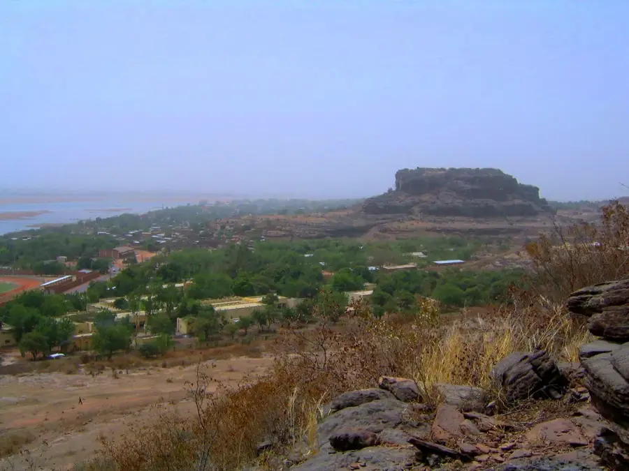
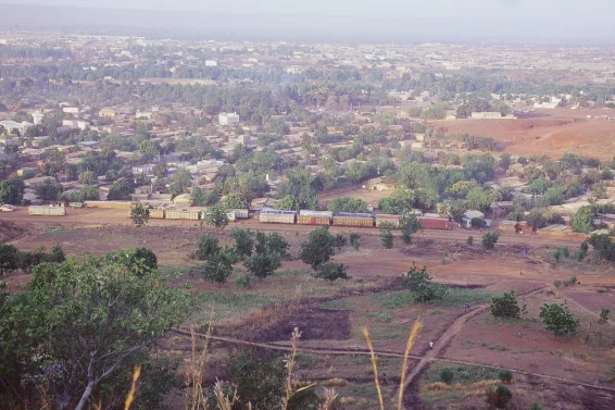
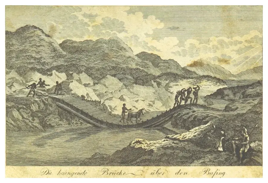
The Baoulé River is a significant waterway in western Mali and a primary headwater of the Senegal River. Originating in the Manding Mountains southwest of Bamako, it flows for approximately 500 kilometers north and west before merging with the Bafing River to form the Senegal. The name "Baoulé" translates to "Red River" in the local Manding language, a reference to the reddish tint caused by heavy silt and sediment during the rainy season. The river traverses a diverse landscape of savannas and gallery forests that provide a critical sanctuary for various wildlife species. Along its course lies the Boucle du Baoulé National Park, a UNESCO Biosphere Reserve famous for its prehistoric rock art and rich biodiversity. The river exhibits extreme seasonal fluctuations, with its flow often reduced to a series of stagnant pools during the dry months. For local communities, the Baoulé is a vital source for fishing and small-scale irrigation. The surrounding region is also notable for significant gold deposits that have been mined for centuries.
- Location: Mali
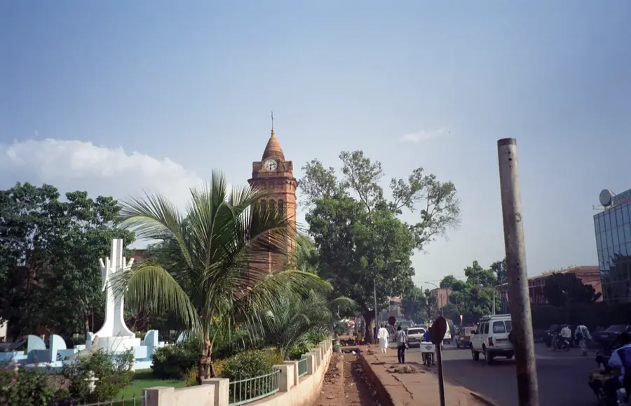
- Top sights: Ferme de M. DOUMBIA · Notre champs
- Nearby: Koulikoro (28 km)
Best time to visit & climate
The most pleasant time to visit is Jan, Nov, Dec.
| Jan | Feb | Mar | Apr | May | Jun | Jul | Aug | Sep | Oct | Nov | Dec | |
|---|---|---|---|---|---|---|---|---|---|---|---|---|
| Avg °C | 23 | 26 | 30 | 33 | 33 | 30 | 27 | 25 | 26 | 27 | 25 | 23 |
| Rain mm | 1 | 0 | 6 | 19 | 48 | 130 | 225 | 285 | 168 | 50 | 2 | 0 |
📋 Practical info
Geography
Facts
- Right-bank tributary forming the Senegal River
- Total length of approximately 500 kilometers
- Name means 'Red River' in the Manding language
- Flows through the UNESCO Boucle du Baoulé Reserve
- Site of numerous prehistoric rock art paintings
- Key region for traditional artisanal gold mining
Explore nearby
Notable places around
Route planner — Car & Motorhome
Where do you start? We build the route here, with stops and country notes along the way.
© OpenStreetMap contributors · OpenRouteService
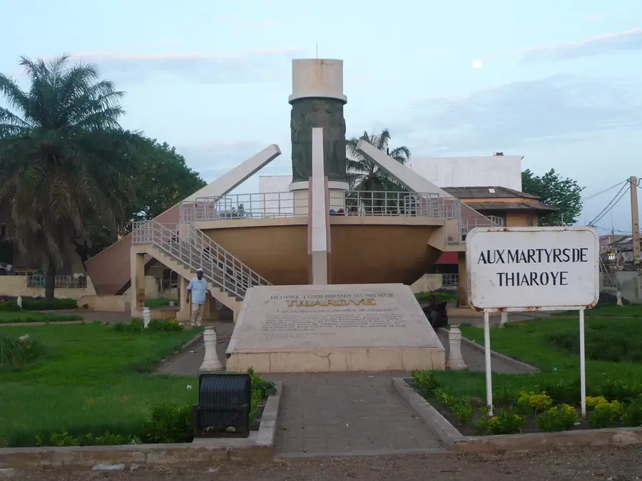
Sights in the town Baoulé (2)
Sights nearby
Frequently asked questions
What is special about the river Baoulé?
Can one swim there?
Is the river a popular hiking destination?
When is the water level highest?
Are there protected areas there?
Baoulé: where is it located?
Baoulé: what is there to see?
Baoulé: when is the best time to visit?
Baoulé: why is it worth visiting?

Nearby cities
History & landmarks
Nature
More places