Plizio Visual Lab
Baoulé-Ba
Weather…
Water temperature…
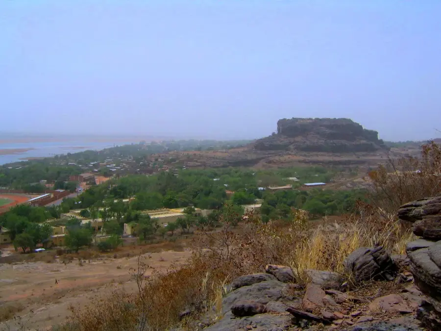
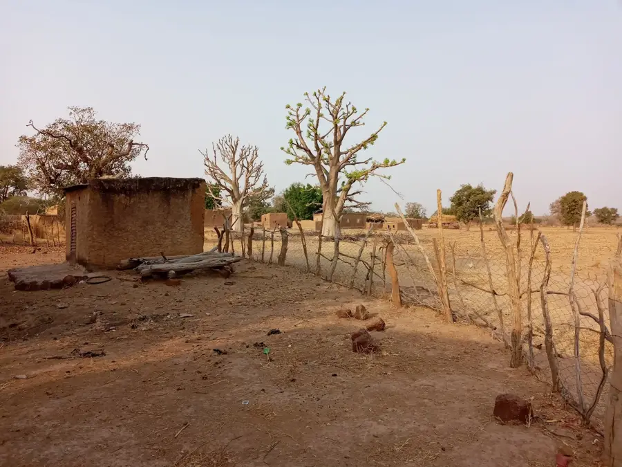
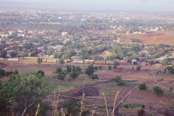
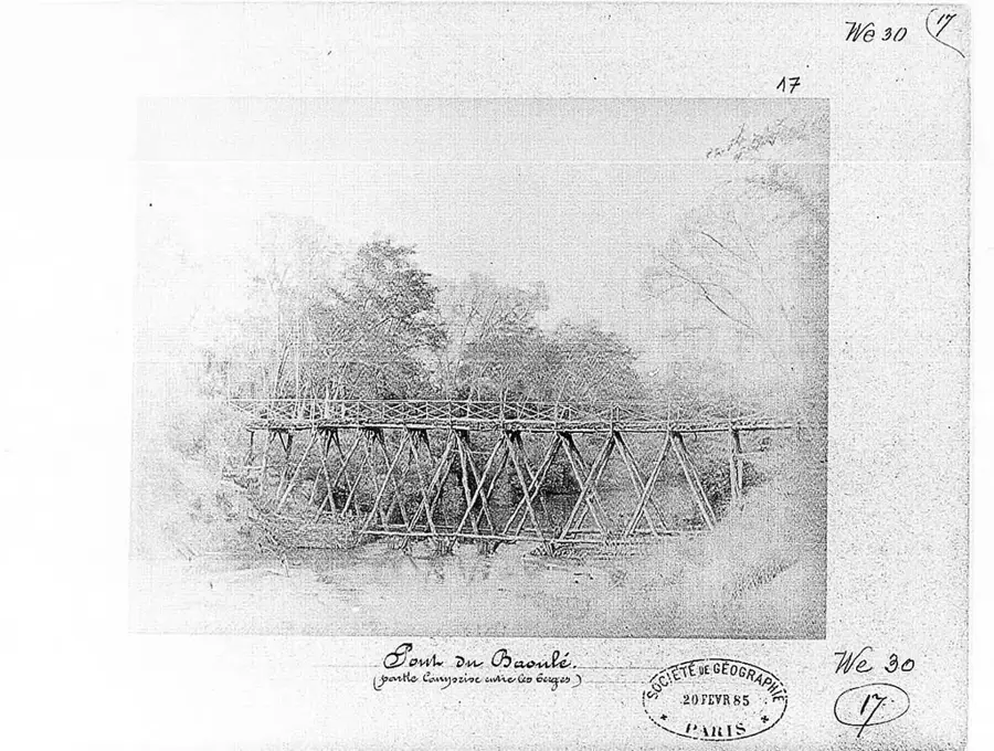
The Baoulé-Ba is a significant tributary of the Baoulé River in western Mali and an essential part of the Senegal River system. Originating in the western highlands near the border with Guinea, it flows through a diverse landscape ranging from dry savannas to dense gallery forests. The name 'Ba' means 'Big' in the local Manding language, highlighting the importance of this river branch within the local water network. Geographically, the river is defined by a strong seasonal regime, swelling into a powerful stream during the rainy season that fertilizes the surrounding plains. Historically, the Baoulé-Ba basin was an important settlement area for the Malinke people, who used the river for transportation and fishing. The region is known for its rich biodiversity, including populations of antelopes and various birds of prey nesting in pristine riparian zones. Significant gold deposits are found in the river's sediments, which have been mined artisanally for centuries. Today, the Baoulé-Ba plays a central role in regional development, providing water for the irrigation of grain fields and securing the livelihoods of thousands of people. Despite its importance, the river valley remains largely untouched due to its remoteness, offering an authentic wilderness experience.
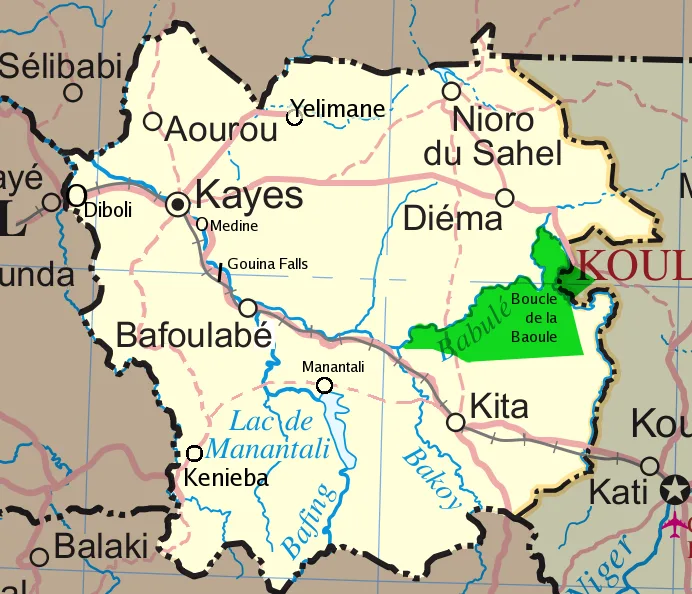
- Location: Mali
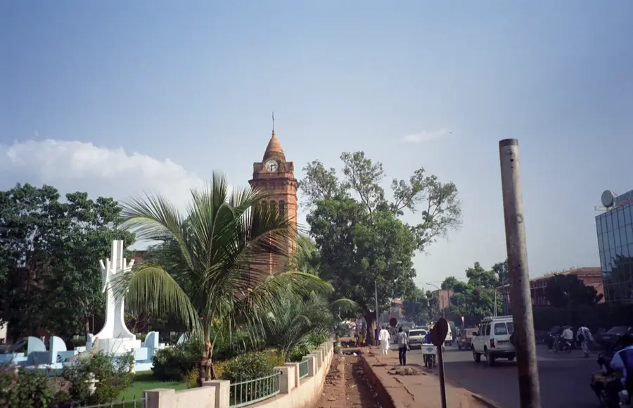
- Nearby: Koulikoro (17 km)
Best time to visit & climate
The most pleasant time to visit is Jan, Feb, Dec.
| Jan | Feb | Mar | Apr | May | Jun | Jul | Aug | Sep | Oct | Nov | Dec | |
|---|---|---|---|---|---|---|---|---|---|---|---|---|
| Avg °C | 23 | 26 | 30 | 33 | 33 | 30 | 28 | 26 | 26 | 28 | 26 | 23 |
| Rain mm | 1 | 0 | 7 | 22 | 47 | 119 | 207 | 272 | 157 | 46 | 2 | 0 |
📋 Practical info
Geography
Facts
- Significant tributary of the Baoulé river system
- Length of approx. 150 km in western Mali
- Name 'Ba' translates to 'Big' in Manding
- Crucial water source for regional agriculture
- Region known for centuries of gold mining
- Home to numerous birds of prey and antelopes
Explore nearby
Notable places around
Route planner — Car & Motorhome
Where do you start? We build the route here, with stops and country notes along the way.
© OpenStreetMap contributors · OpenRouteService
Sights nearby
Frequently asked questions
Are there camping options at Baoulé-Ba?
What is the best time to travel?
Can you fish in the river?
Are there hiking routes?
How is the infrastructure?
Baoulé-Ba: where is it located?
Baoulé-Ba: when is the best time to visit?
Baoulé-Ba: why is it worth visiting?

Nearby cities
History & landmarks
Nature
More places