Plizio Visual Lab
Dialakoroba
ℹ️Practical info — Dialakoroba
▾
🌤 Weather — 5 days
📍 Nearby
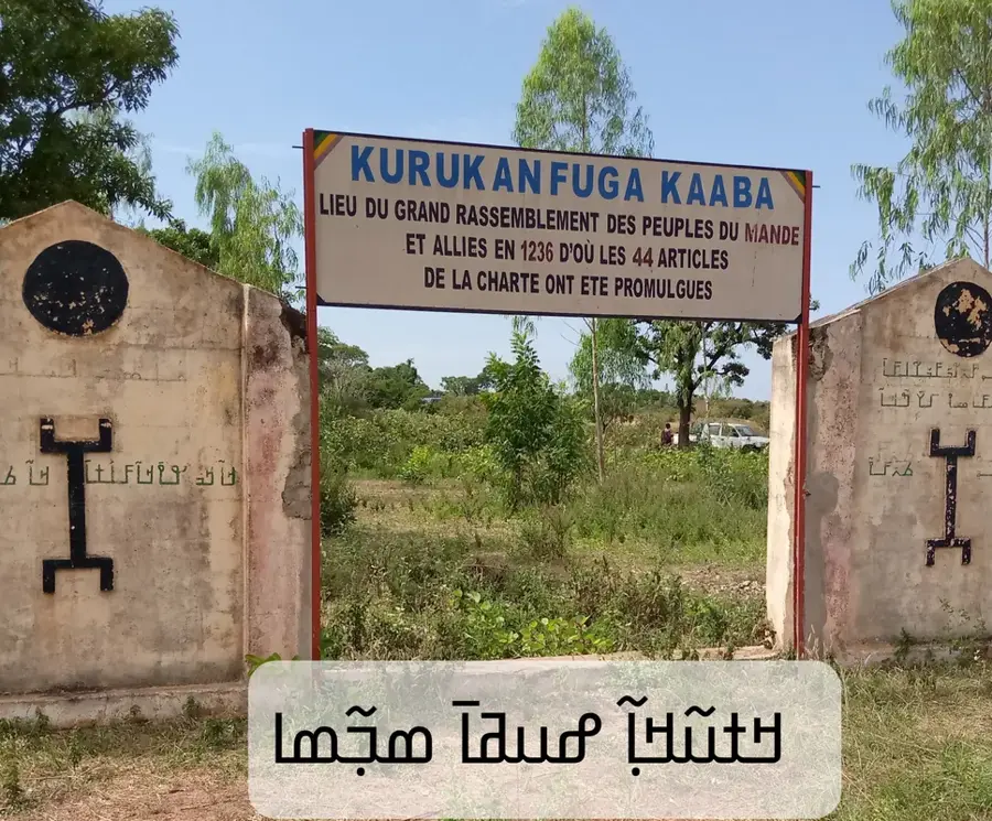
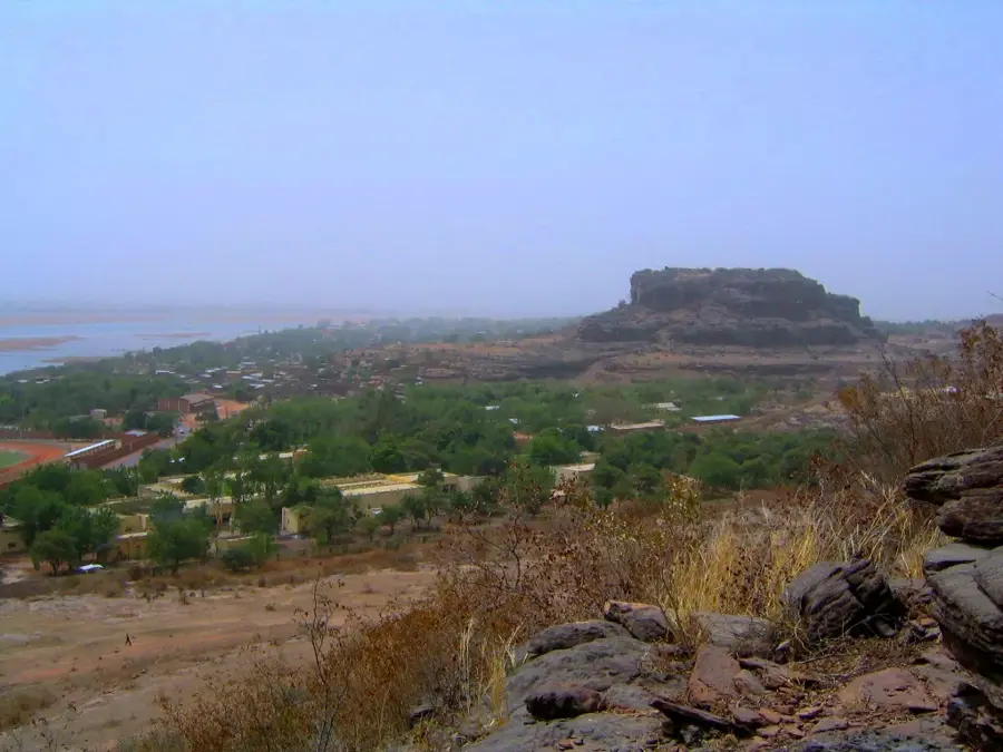
Sights nearby
💡 Tips
- The village is easily accessible by bush taxi (bâché) from Bamako's southern transport stations.
- Dust can be quite an issue during the dry season; bring a light scarf to cover your face.
- Be prepared to bargain gently and with a smile at local market stalls.
- Greetings are deeply important; take time to exchange pleasantries before doing business.
- Take advantage of buying fresh seasonal fruit directly from the growers.
🍽 Food
A rich peanut butter stew usually served with rice, worth trying at small roadside eateries.
During the season, you can buy top-quality mangoes directly from roadside vendors.
A sweet and spicy ginger juice, often served cold and highly refreshing.
🛍 Shopping · 🧘 Quiet spots
Buy millet, peanuts, and fresh vegetables at the small village market.
Look out for woven baskets crafted by local village artisans.
Walk towards the Niger basin area to find some peace away from the main road.
Find a shaded spot under the fruit trees for a relaxing break.
Water temperature…
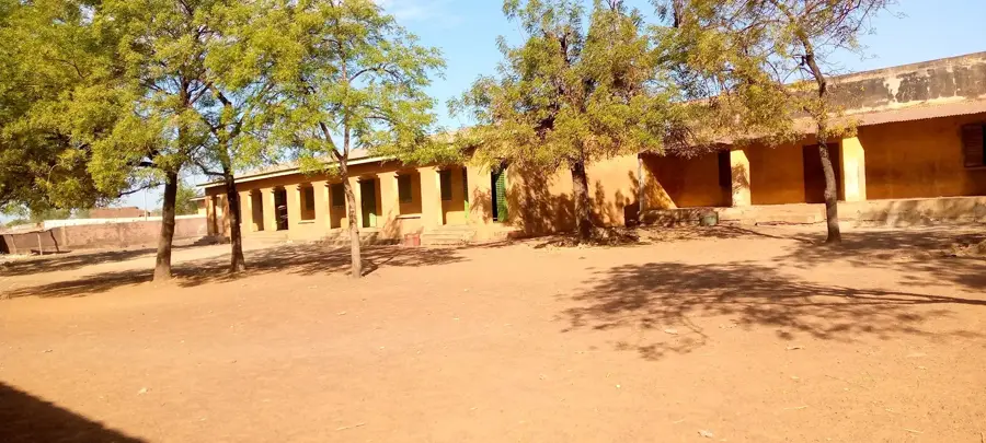
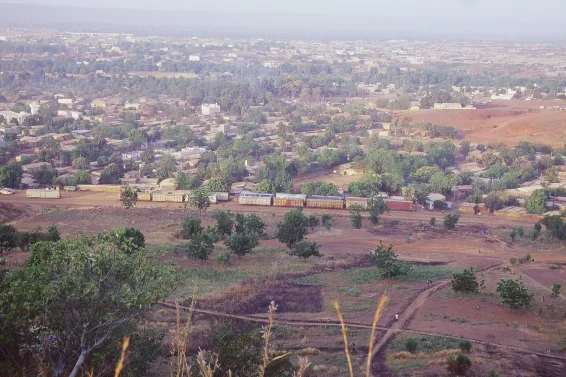
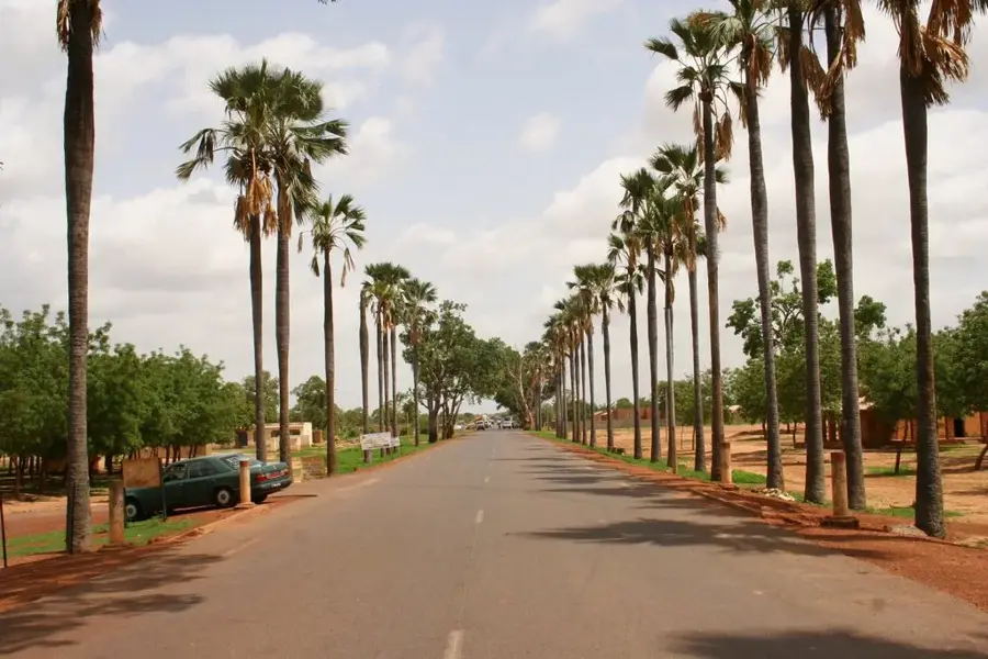
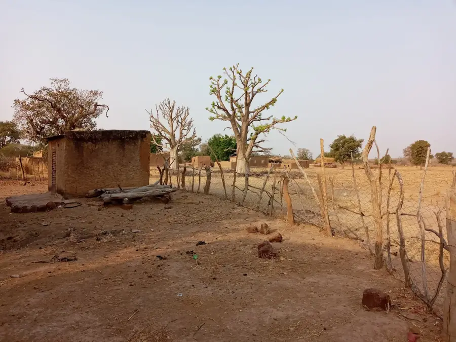
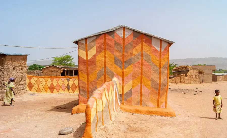
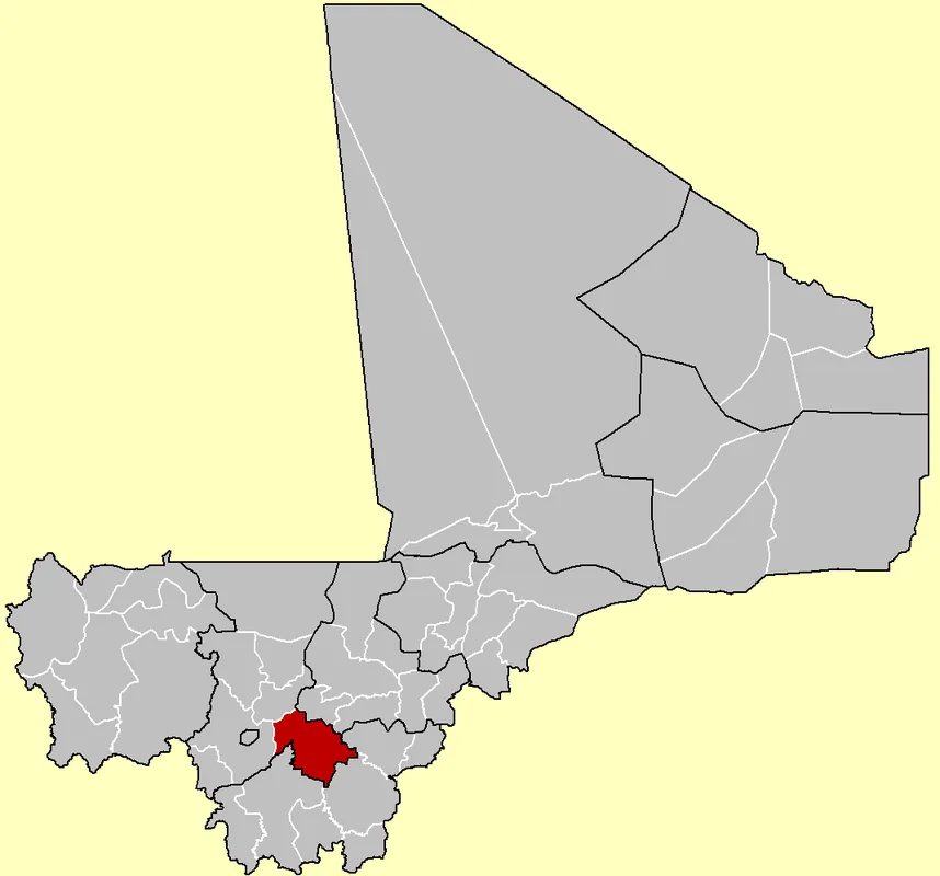
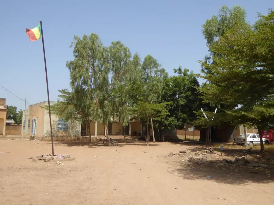
Dialakoroba is a significant rural commune located in the Kati Cercle within the Koulikoro Region of southwestern Mali. Situated approximately 50 kilometers south of the capital city, Bamako, it serves as an important agricultural transition zone for the surrounding metropolitan area. The local economy is primarily driven by subsistence farming and the production of cereal crops such as millet, sorghum, and maize, which are vital for regional food security. Historically, the area has been a crossroads for trade routes connecting the Niger River basin with the southern savannah regions. The commune is composed of several villages, with the central settlement of Dialakoroba acting as the administrative and social hub. In recent years, the proximity to Bamako has led to gradual demographic changes and the expansion of small-scale commercial activities along the primary transport corridors. The community maintains strong traditional Malinke cultural roots while adapting to the logistical demands of the modern Malian state.
- Location: Mali
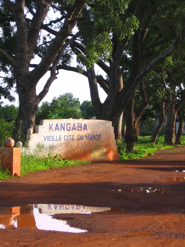
- Nearby: Ouelessebougou (26 km)
Best time to visit & climate
The most pleasant time to visit is Jan, Nov, Dec.
| Jan | Feb | Mar | Apr | May | Jun | Jul | Aug | Sep | Oct | Nov | Dec | |
|---|---|---|---|---|---|---|---|---|---|---|---|---|
| Avg °C | 24 | 28 | 31 | 33 | 32 | 29 | 27 | 25 | 26 | 27 | 26 | 24 |
| Rain mm | 1 | 1 | 3 | 23 | 65 | 143 | 222 | 295 | 214 | 68 | 3 | 0 |
Geography
Facts
- Located about 50 km south of Bamako
- Part of the Koulikoro Region
- Primary crops include millet and sorghum
- Belongs to the administrative Kati Cercle
- The commune consists of over 20 component villages
- Strategic stop on the RN7 national highway
Explore nearby
Notable places around
Route planner — Car & Motorhome
Where do you start? We build the route here, with stops and country notes along the way.
© OpenStreetMap contributors · OpenRouteService
Frequently asked questions
What is special about Dialakoroba?
How long to stay?
Getting there?
Any accommodation?
Best time to visit?
Dialakoroba: where is it located?
Dialakoroba: when is the best time to visit?
Dialakoroba: why is it worth visiting?

Nearby cities
History & landmarks

More places