Plizio Visual Lab
King Fahd Bridge
Weather…
Water temperature…
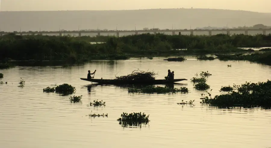
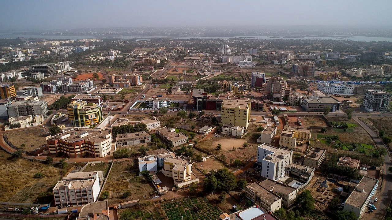
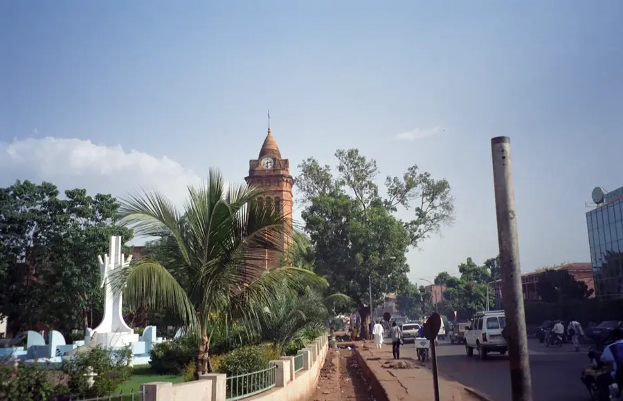
The King Fahd Bridge is a critical transportation artery in Bamako, spanning the Niger River to connect the city's central districts with the rapidly growing southern neighborhoods. Completed in the early 1990s, the bridge was constructed with significant financial backing from Saudi Arabia and named in honor of King Fahd bin Abdulaziz Al Saud. Measuring over 750 meters in length, it was the second major bridge built across the river in the capital, effectively relieving the chronic traffic congestion on the older Martyrs' Bridge. Its functional engineering and reinforced concrete structure support heavy commercial traffic, making it indispensable for the nation's logistics and internal trade. The bridge stands as a symbol of modern development in Mali and provides a strategic link to the international airport located south of the city. Beyond its utility, it has expansive views of the Niger River's banks and the bustling riverine activities below.
- Location: Mali
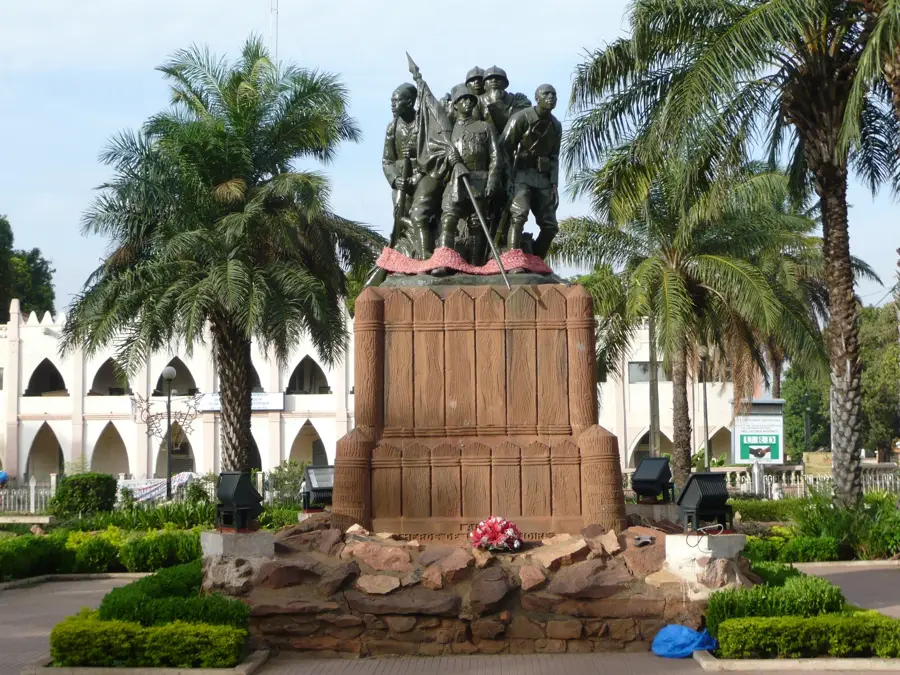
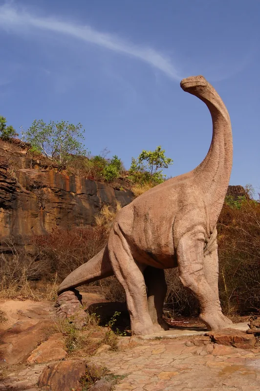
- Top sights: kabral · Rond point Ali Farka Touré · Acte Sept (Association Culturelle)
- Nearby: Kati (15 km)
Best time to visit & climate
The most pleasant time to visit is Jan, Nov, Dec.
| Jan | Feb | Mar | Apr | May | Jun | Jul | Aug | Sep | Oct | Nov | Dec | |
|---|---|---|---|---|---|---|---|---|---|---|---|---|
| Avg °C | 24 | 27 | 30 | 33 | 32 | 29 | 27 | 25 | 26 | 27 | 27 | 24 |
| Rain mm | 1 | 1 | 7 | 23 | 61 | 145 | 229 | 296 | 191 | 60 | 3 | 0 |
📋 Practical info
Geography
Facts
- The bridge was officially opened for public traffic in 1992.
- Construction was funded by a loan from the Saudi Fund for Development.
- The total length of the bridge structure is approximately 750 meters.
- It connects central Bamako directly with the Badalabougou district.
- This was the second permanent bridge built over the Niger in the capital.
- It serves as a primary route for reaching the Bamako-Sénou International Airport.
Explore nearby
Notable places around
Route planner — Car & Motorhome
Where do you start? We build the route here, with stops and country notes along the way.
© OpenStreetMap contributors · OpenRouteService
Sights in the town King Fahd Bridge (6)
Sights nearby
Frequently asked questions
Is the King Fahd Bridge safe?
Can I walk across the bridge?
Is the view nice?
How to get there?
When to avoid it?
King Fahd Bridge: where is it located?
King Fahd Bridge: what is there to see?
King Fahd Bridge: when is the best time to visit?
King Fahd Bridge: why is it worth visiting?

Nearby cities
History & landmarks


More places