Plizio Visual Lab
Martyrs' Bridge
Weather…
Water temperature…
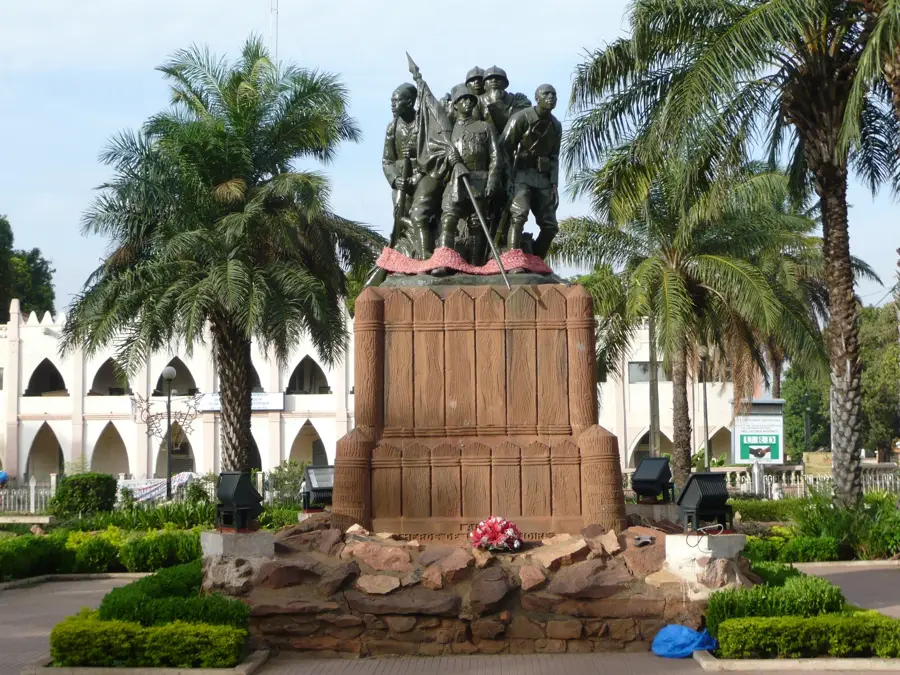
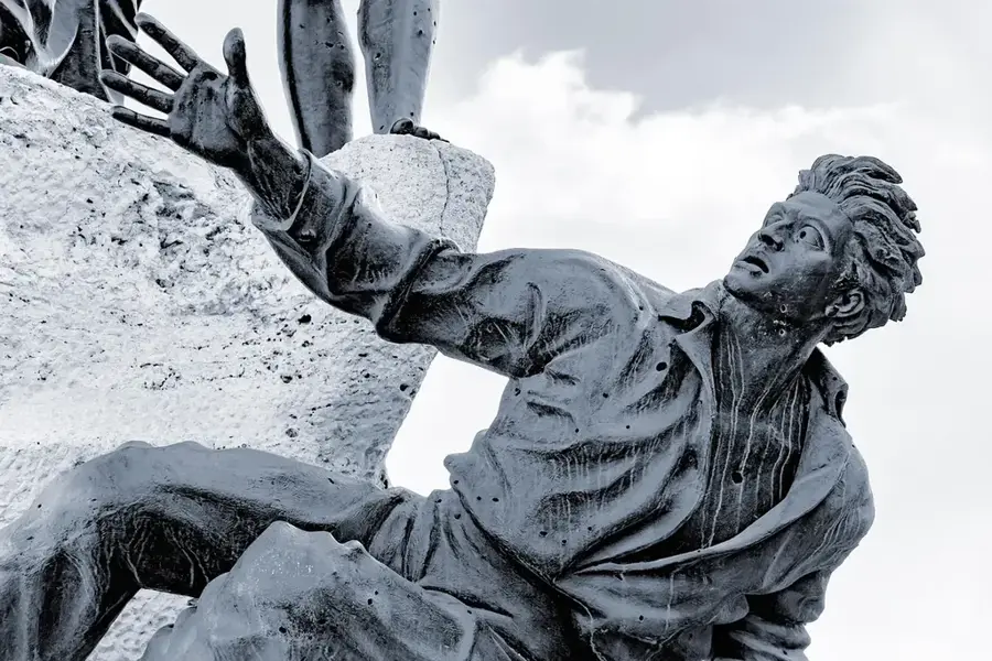
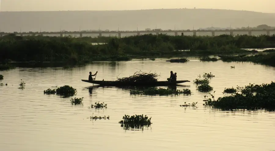
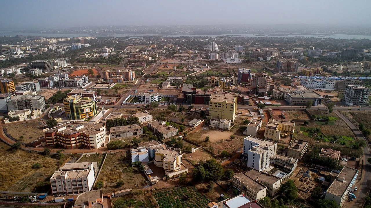
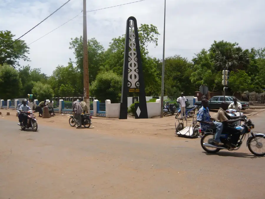
The Martyrs' Bridge in Bamako is a critical transportation link spanning the Niger River, connecting the central business district with the southern residential areas of the capital. Originally opened in 1957 as the 'Pont d'Outre-Mer' during the French colonial era, it was renamed to honor the victims of the March 1991 pro-democracy uprising. During these protests, many citizens were killed while demonstrating for political reforms and the end of military rule, making the bridge a solemn symbol of Mali's struggle for freedom. Stretching over 800 meters in length, it is a significant engineering feat that handles a massive volume of traffic daily, including vehicles, motorcycles, and pedestrians. The bridge features panoramic views of the Niger River, the lifeblood of the city and the entire nation. Its transformation from a colonial infrastructure project to a national monument of sacrifice reflects the political evolution of modern Mali and its ongoing commitment to democratic values.
- Location: Mali
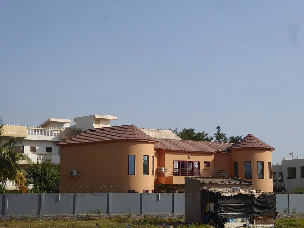
- Top sights: IB House · Aire loisir kalaban coro · Airplane
- Nearby: Kati (17 km)
Best time to visit & climate
The most pleasant time to visit is Jan, Nov, Dec.
| Jan | Feb | Mar | Apr | May | Jun | Jul | Aug | Sep | Oct | Nov | Dec | |
|---|---|---|---|---|---|---|---|---|---|---|---|---|
| Avg °C | 24 | 27 | 30 | 33 | 32 | 29 | 27 | 25 | 26 | 27 | 27 | 24 |
| Rain mm | 1 | 1 | 7 | 23 | 61 | 145 | 229 | 296 | 191 | 60 | 3 | 0 |
📋 Practical info
Geography
Facts
- Opened in 1957 as the Pont d'Outre-Mer.
- Renamed following the March 1991 pro-democracy uprising.
- Spans the Niger River in the heart of Bamako.
- Has a total length of approximately 816 meters.
- Was the first permanent bridge built in the capital.
- Serves as a memorial for the struggle for political reform.
Explore nearby
Notable places around
Route planner — Car & Motorhome
Where do you start? We build the route here, with stops and country notes along the way.
© OpenStreetMap contributors · OpenRouteService
Sights in the town Martyrs' Bridge (9)
Sights nearby
Frequently asked questions
Can you walk across the bridge?
Is the bridge very busy?
How is the view from the bridge?
Is it safe to take photos?
What is the best time for a walk?
Martyrs' Bridge: where is it located?
Martyrs' Bridge: what is there to see?
Martyrs' Bridge: when is the best time to visit?
Martyrs' Bridge: why is it worth visiting?

Nearby cities
History & landmarks

More places