Plizio Visual Lab
Kati
ℹ️Practical info — Kati
▾
🌤 Weather — 5 days
📍 Nearby
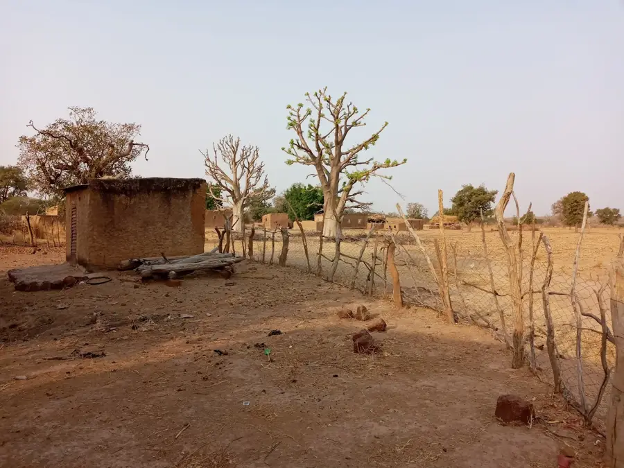
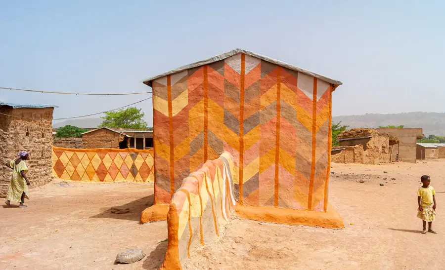
Sights nearby
💡 Tips
- As Kati is a major military garrison town, strictly avoid taking photos of soldiers, military vehicles, or official buildings.
- Enjoy the slightly cooler and breezier climate compared to nearby Bamako.
- Use the green 'Sotrama' minibuses for a cheap, authentic ride down into the capital.
- Visit the massive cattle market, especially active before major religious holidays.
🍽 Food
Mustard and onion marinated chicken served in local open-air maquis.
Grilled river fish that is often eaten with fried plantains.
A rich peanut butter meat stew, traditionally served with rice.
🛍 Shopping · 🧘 Quiet spots
The famous cattle market is an experience in itself, bustling with local traders.
Buy fresh mangoes and papayas along the main roads during the season.
A peaceful walking area following the old Dakar-Niger tracks.
Has a quiet overlook of the Bamako valley from the elevated edges of the town.
Water temperature…
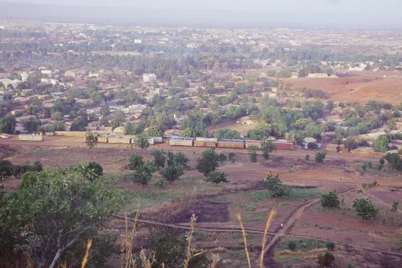
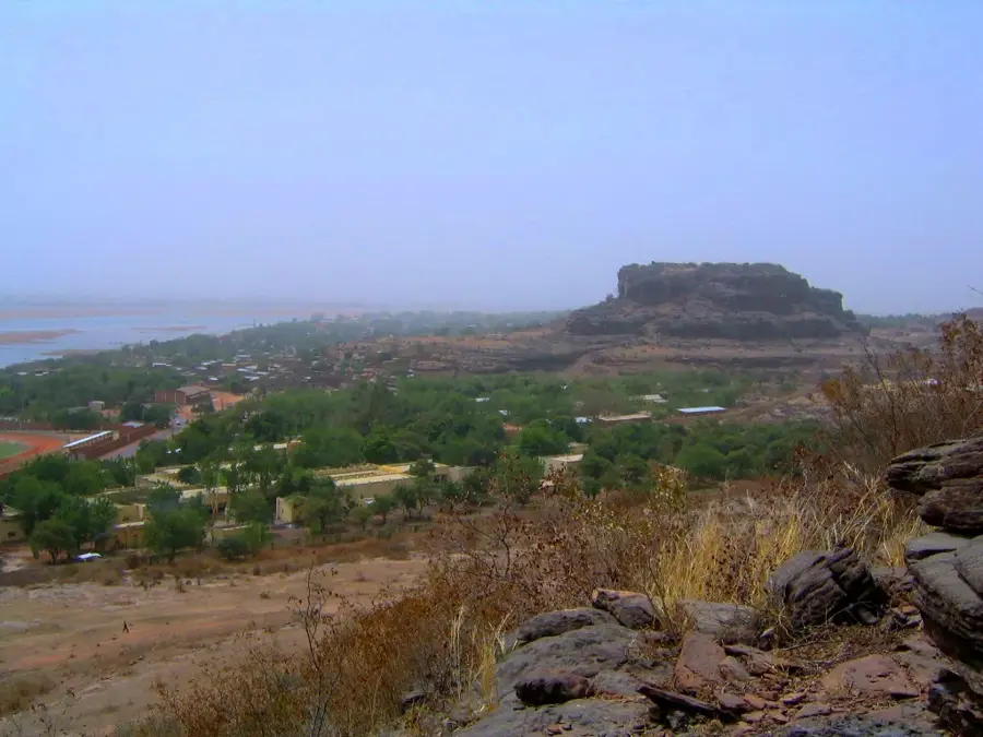
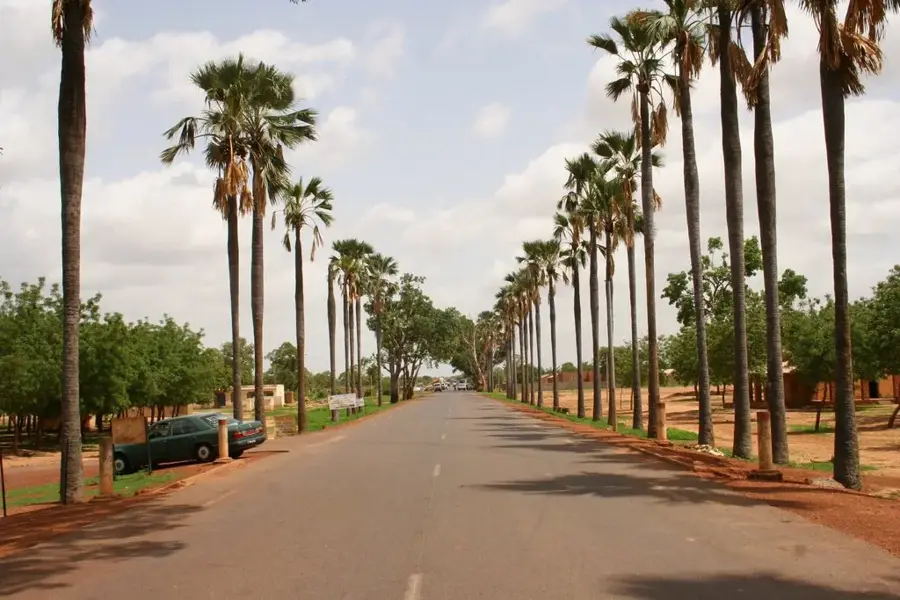
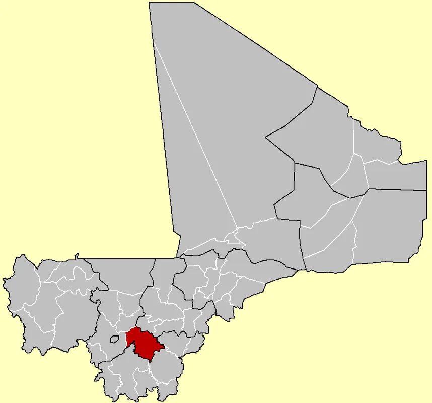
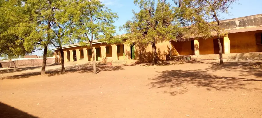
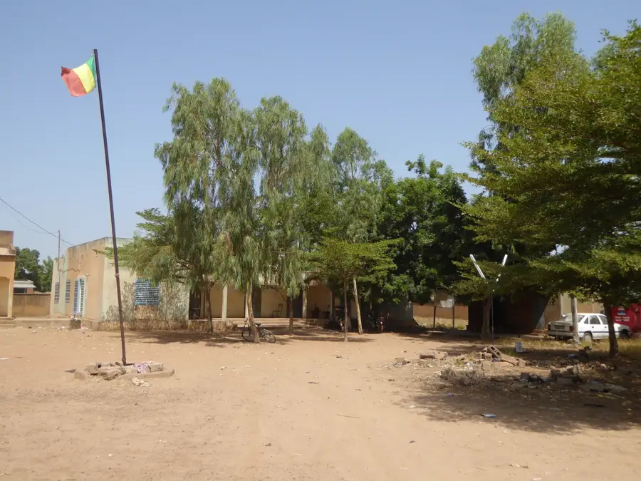
Kati is a strategically vital city in southwestern Mali, located in the Koulikoro Region, just 15 kilometers northwest of the capital, Bamako. Situated on a high plateau, it enjoys a slightly cooler climate than the nearby Niger River valley. The city is best known as Mali's military capital, home to Camp Soundiata Keïta, the largest military base in the country. This military presence has deeply influenced the town's history and development, particularly during the political shifts of the 21st century. Kati also serves as an essential transport hub, located along the Dakar-Niger railway and the main highway connecting Bamako to the northwestern regions. Beyond its military significance, the city is a major trading center for agricultural products from the surrounding countryside. Its proximity to the capital has made Kati a popular residential area for commuters, resulting in rapid population growth. The city embodies the close link between military authority and civilian life in Mali.
- Location: Mali
- Top sights: Monument du cinquanntenaire · Jumelage Puteaux-Kati · Kati 5
- Nearby: Siby (50 km)
- Population: ~130.254 (2024)
Best time to visit & climate
The most pleasant time to visit is Jan, Nov, Dec.
| Jan | Feb | Mar | Apr | May | Jun | Jul | Aug | Sep | Oct | Nov | Dec | |
|---|---|---|---|---|---|---|---|---|---|---|---|---|
| Avg °C | 24 | 27 | 30 | 33 | 32 | 29 | 27 | 25 | 26 | 27 | 27 | 24 |
| Rain mm | 1 | 1 | 7 | 23 | 61 | 145 | 229 | 296 | 191 | 60 | 3 | 0 |
Geography
Facts
- Kati is home to Camp Soundiata Keïta, the primary military installation in Mali.
- The city sits at an elevation of 450 meters, overlooking the capital city.
- It is a significant stop on the international Dakar-Niger railway line.
- Kati's population has grown rapidly to over 110.000 residents.
- The town has historically been a starting point for national political movements.
- The local climate is notably less humid and cooler than that of Bamako.
Explore nearby
Notable places around
Route planner — Car & Motorhome
Where do you start? We build the route here, with stops and country notes along the way.
© OpenStreetMap contributors · OpenRouteService
Sights in the town Kati (3)
Frequently asked questions
How far is Kati from Bamako?
Is it worth a visit?
What can you see in Kati?
How to travel best?
Are there good restaurants?
Kati: where is it located?
Kati: what is there to see?
Kati: when is the best time to visit?
Kati: why is it worth visiting?

Nearby cities
History & landmarks

More places