Plizio Visual Lab
Dioïla
ℹ️Practical info — Dioïla
▾
🌤 Weather — 5 days
📍 Nearby
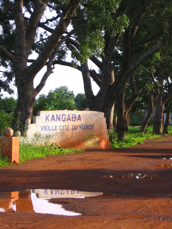
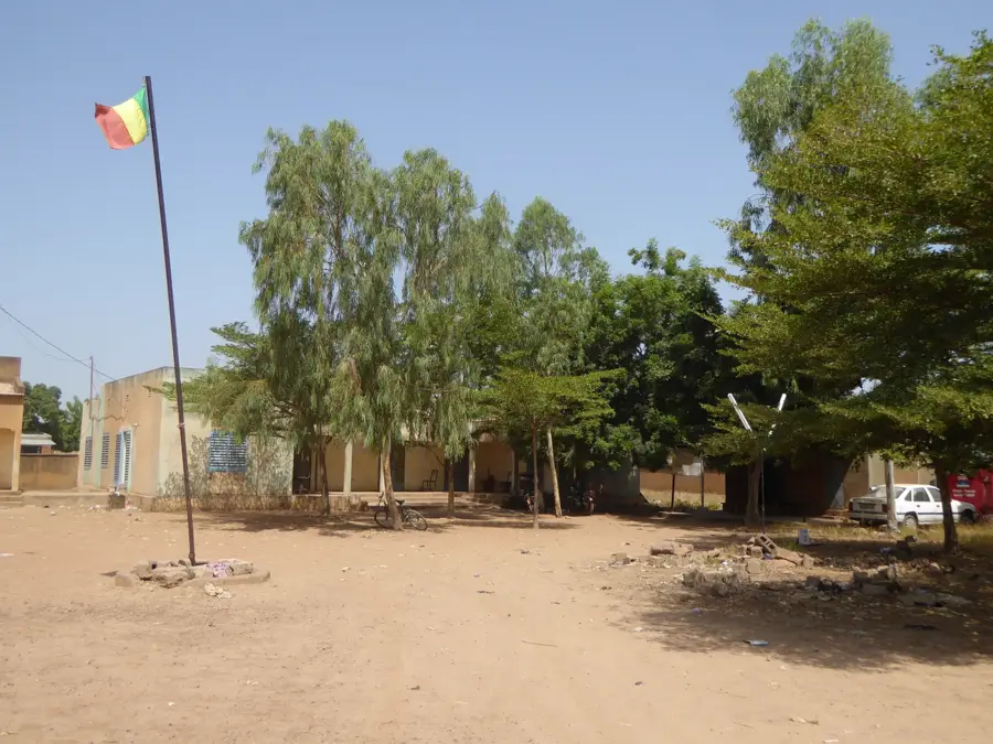
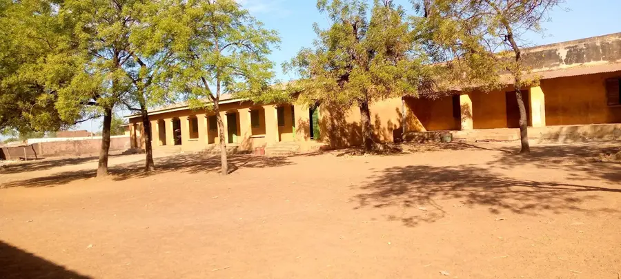
Sights nearby
💡 Tips
- Roads around the cotton fields can become very muddy during the rainy season; plan accordingly.
- Only photograph locals after asking for permission.
- The local weekly market is the best place to experience the bustle of the Baoulé Valley.
- A few words of Bambara will open many doors for you.
🍽 Food
Often served with various sauces and can be found in almost every local street restaurant.
Occasionally offered fresh from the river; look for small grill stands.
A hearty dish best tried in the small, family-run eateries around the market.
🛍 Shopping · 🧘 Quiet spots
In the market you will find hand-woven cotton fabrics, which the region is known for.
Local artisans offer their sturdy clay vessels in the main market.
A quiet place for bird watching and an escape from the busy city center.
In the late afternoon, the surroundings offer beautiful, peaceful light for photographers.
Water temperature…
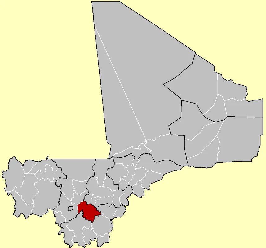
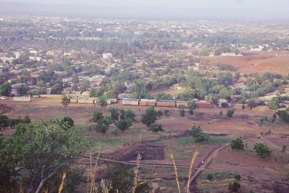
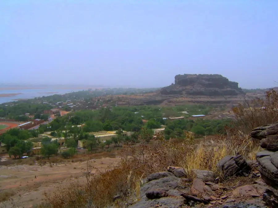
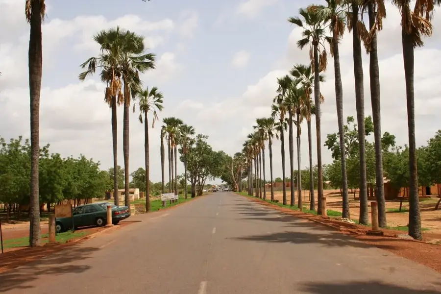
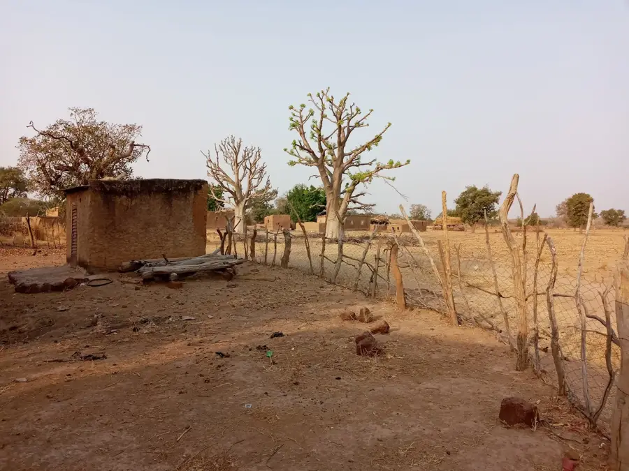
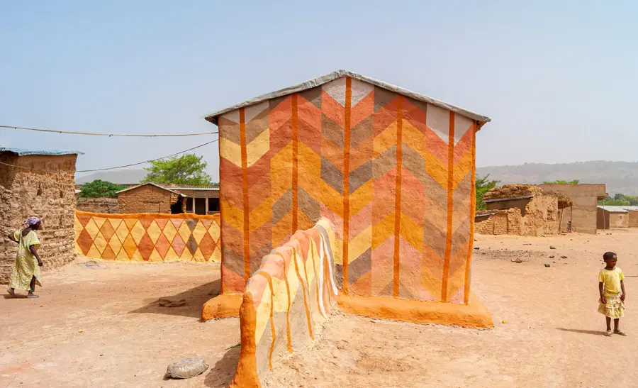
Dioïla is the capital of the eponymous cercle in the Koulikoro Region of southwestern Mali. The town is located in the heart of the Banico area and is known as one of the country's most productive agricultural centers. Particularly noteworthy is the cotton production, coordinated by the CMDT (Compagnie Malienne pour le Développement des Textiles), which forms the economic backbone of the region. Geographically, Dioïla lies in a Sudano-Sahelian zone with sufficient rainfall for intensive cultivation of cereals and legumes. The town serves as a major marketplace and logistical hub for surrounding villages. In recent years, Dioïla has gained administrative importance through Mali's decentralization policies. Local culture is shaped by Bambara traditions, which are reflected in the town's festivals and social organization. Infrastructure has steadily improved with the expansion of road connections to Bamako.
- Location: Mali
- Nearby: Béléko (23 km)
- Population: ~23.535 (2025)
Best time to visit & climate
The most pleasant time to visit is Jan, Nov, Dec.
| Jan | Feb | Mar | Apr | May | Jun | Jul | Aug | Sep | Oct | Nov | Dec | |
|---|---|---|---|---|---|---|---|---|---|---|---|---|
| Avg °C | 23 | 27 | 30 | 33 | 32 | 29 | 27 | 26 | 26 | 27 | 26 | 23 |
| Rain mm | 1 | 1 | 5 | 23 | 64 | 139 | 214 | 273 | 166 | 51 | 3 | 0 |
Geography
Facts
- Center for cotton processing by the CMDT
- Population is primarily of the Bambara ethnicity
- Most important trading venue in the Banico area
- Average annual rainfall is around 800 mm
- Features a significant regional health center
- Strategic location between Bamako and Ségou
Explore nearby
Notable places around
Route planner — Car & Motorhome
Where do you start? We build the route here, with stops and country notes along the way.
© OpenStreetMap contributors · OpenRouteService
Frequently asked questions
What is Dioïla known for?
How many days to plan?
How to get there?
Are there local specialties?
What is the best season?
Dioïla: where is it located?
Dioïla: when is the best time to visit?
Dioïla: why is it worth visiting?

Nearby cities
History & landmarks

More places