Plizio Visual Lab
Kolokani
ℹ️Practical info — Kolokani
▾
🌤 Weather — 5 days
📍 Nearby
Sights nearby
💡 Tips
- Kolokani is known for peanut farming; be sure to try the local peanut products.
- Travel from Bamako is mostly by shared bush taxi (bâché), be prepared for cramped conditions.
- Dress modestly out of respect for the region's Islamic traditions.
- During the dry season (Harmattan) it can be very dusty; a light scarf for your face is useful.
🍽 Food
A rich peanut stew that you can find in the simple eateries around town.
The traditional staple food of the Bélédougou region, often served with a savory sauce.
A spicy peanut butter sauce with meat, a true local classic.
🛍 Shopping · 🧘 Quiet spots
The center of trade for peanuts, millet, and local fabrics.
Keep an eye out for simple but beautiful traditional wood carvings.
A walk in the early morning light along the peanut fields is very peaceful.
Away from the main road you will find small squares where village life beats quietly.
Water temperature…
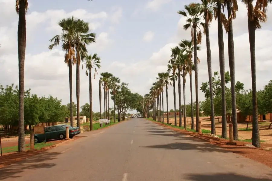
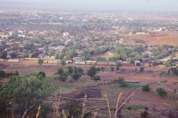
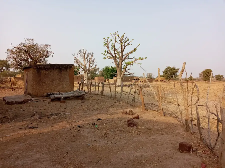
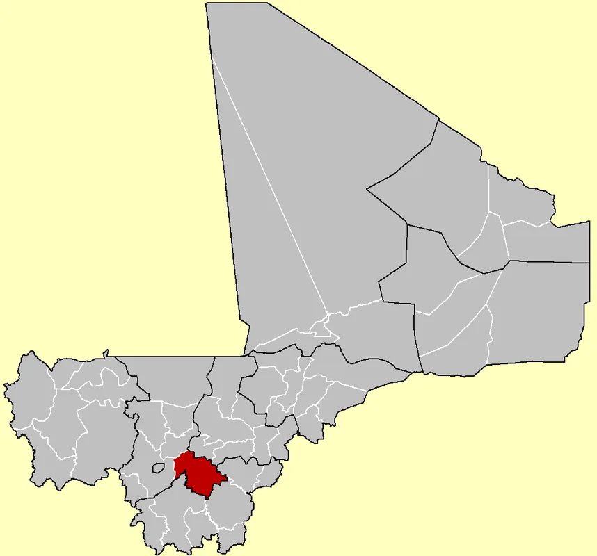
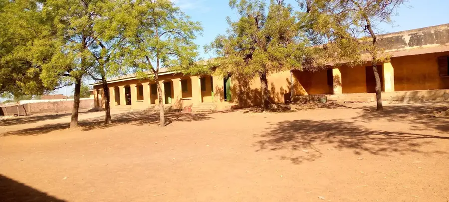
Kolokani is a significant town in the Koulikoro Region of Mali, situated about 120 kilometers north of the capital city, Bamako. It functions as a major hub for regional agricultural production, with a focus on crops such as millet, sorghum, and peanuts. Kolokani is strategically located along the main road connecting Bamako to Nioro du Sahel and onward to the Mauritanian border, making it an essential logistics and rest stop for travelers and transporters. Historically, the region was closely associated with the Bambara Kingdom of Ségou, and it continues to uphold many traditional social structures and customs today. The town is well-known for its lively markets, where produce from the surrounding countryside is traded. Despite its proximity to the capital, Kolokani maintains a distinct rural charm while gradually modernizing its educational facilities and healthcare infrastructure.
- Location: Mali
- Nearby: Banamba (65 km)
- Population: ~48.774 (2021)
Best time to visit & climate
The most pleasant time to visit is Jan, Nov, Dec.
| Jan | Feb | Mar | Apr | May | Jun | Jul | Aug | Sep | Oct | Nov | Dec | |
|---|---|---|---|---|---|---|---|---|---|---|---|---|
| Avg °C | 23 | 26 | 30 | 33 | 34 | 31 | 27 | 26 | 26 | 27 | 25 | 23 |
| Rain mm | 0 | 0 | 3 | 18 | 35 | 109 | 205 | 269 | 155 | 42 | 1 | 0 |
Geography
Facts
- Located on National Route 7 (RN7), connecting Bamako to Mauritania.
- The town serves as the administrative capital of the Kolokani Cercle.
- The climate is Sudano-Sahelian, featuring a distinct rainy season.
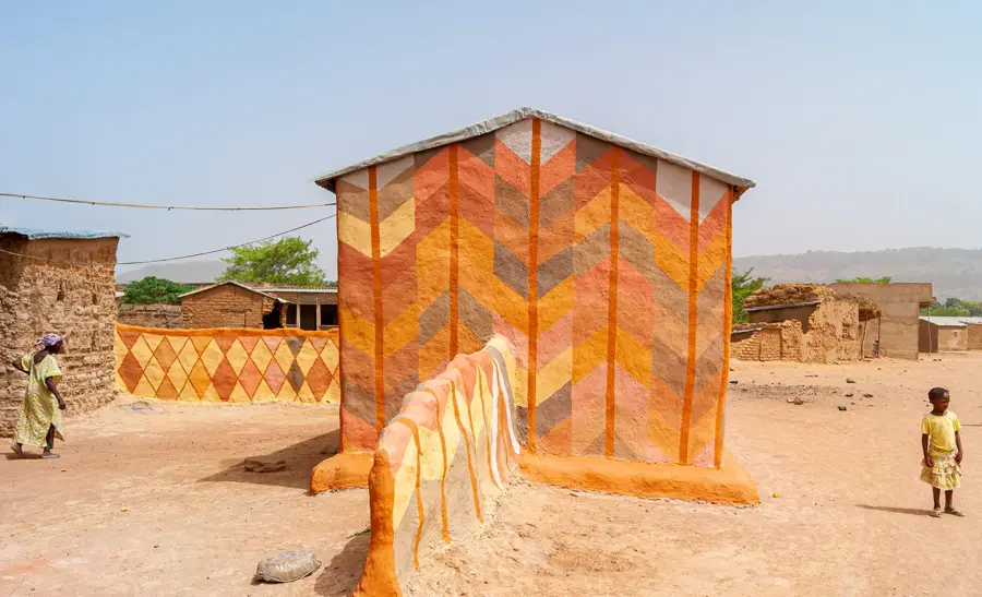
- Kolokani is a cultural center for the Bambara people in central Mali.
- The area is highly regarded for its large-scale peanut cultivation.
- Positioned roughly 120 kilometers north of Bamako's city center.
Explore nearby
Notable places around
Route planner — Car & Motorhome
Where do you start? We build the route here, with stops and country notes along the way.
© OpenStreetMap contributors · OpenRouteService
Frequently asked questions
When is the best time to visit Kolokani?
How much time is needed to explore Kolokani?
Are there opportunities for hiking nearby?
What is special about the culture in Kolokani?
How is the infrastructure for travelers?
Kolokani: where is it located?
Kolokani: when is the best time to visit?
Kolokani: why is it worth visiting?

Nearby cities
History & landmarks

More places