Plizio Visual Lab
Molberlee Ridge
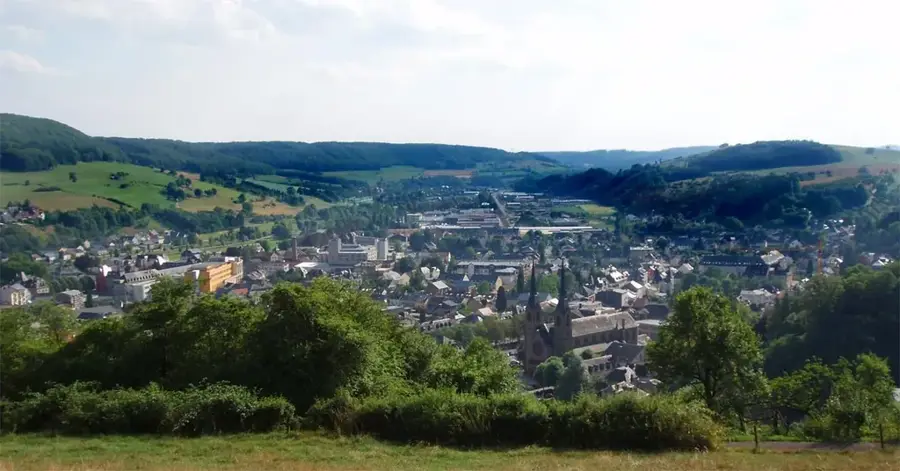
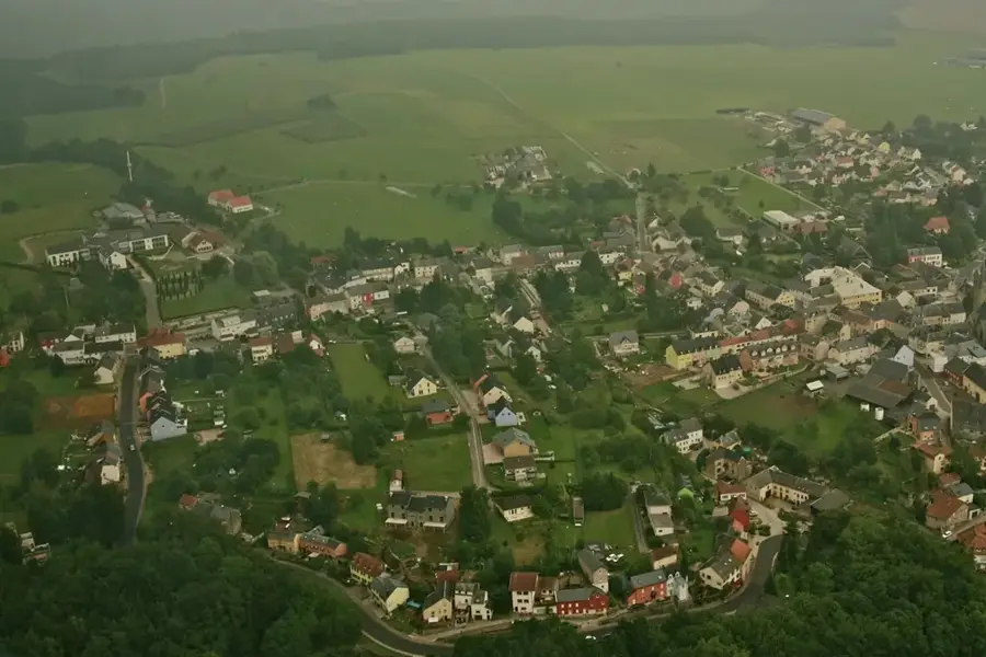
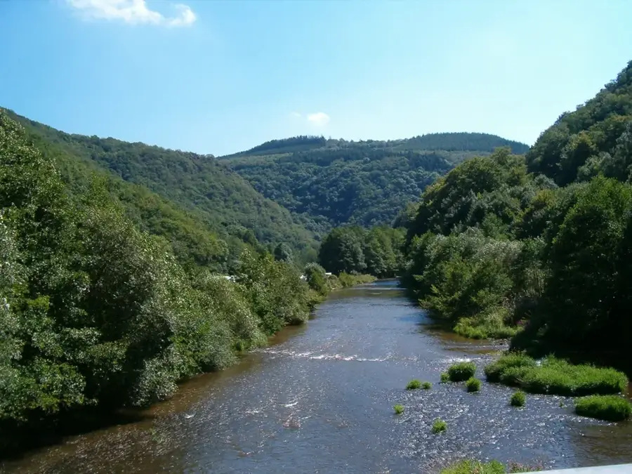
Molberlee near Hoscheid is one of Luxembourg's most striking geological landmarks and a true highlight for avid hikers. It is a narrow, rugged schist ridge that rises steeply above the Wiltz valley, offering an almost alpine experience. The trail runs directly along the narrow crest, providing spectacular views and a sense of exhilaration as the terrain drops away on both sides. Part of the renowned Eislek Trail, Molberlee is known for its sparse but resilient rock vegetation that thrives in this exposed environment. Geologically, the ridge is a testament to the intense folding and erosion that have shaped the Ardennes over millions of years. For landscape photographers, it features sweeping views, especially in autumn when low-lying mists often fill the valleys while the ridge stands clear above them. Hiking across the Molberlee requires a steady foot, but the reward is an unparalleled 360-degree panorama of the northern Luxembourg highlands.
- Location: Luxembourg
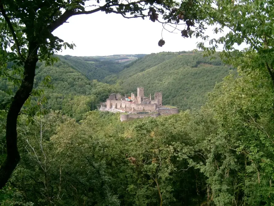
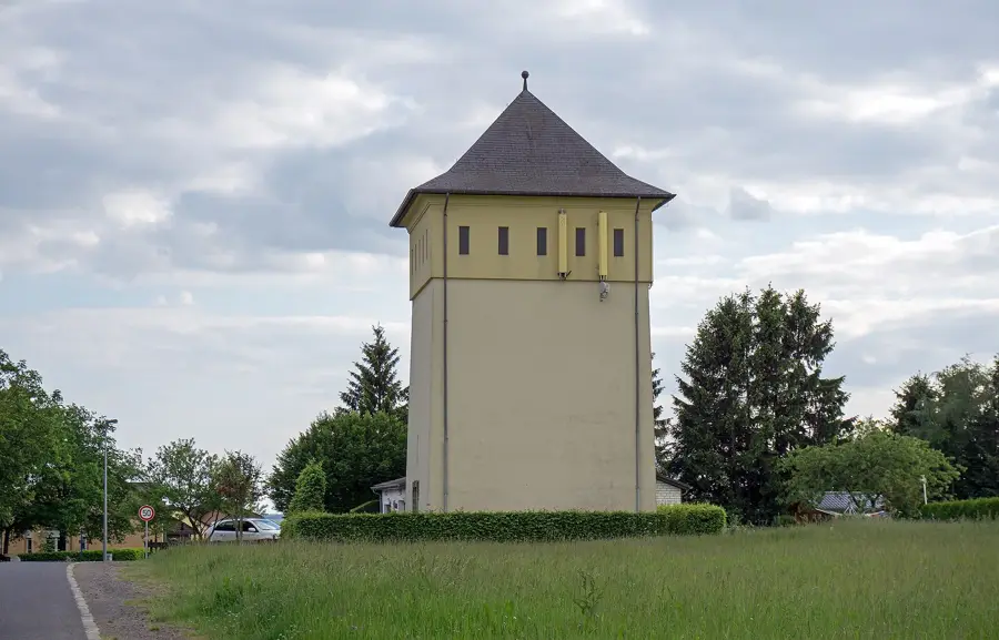
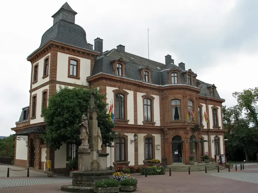
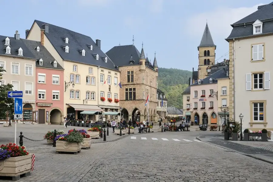
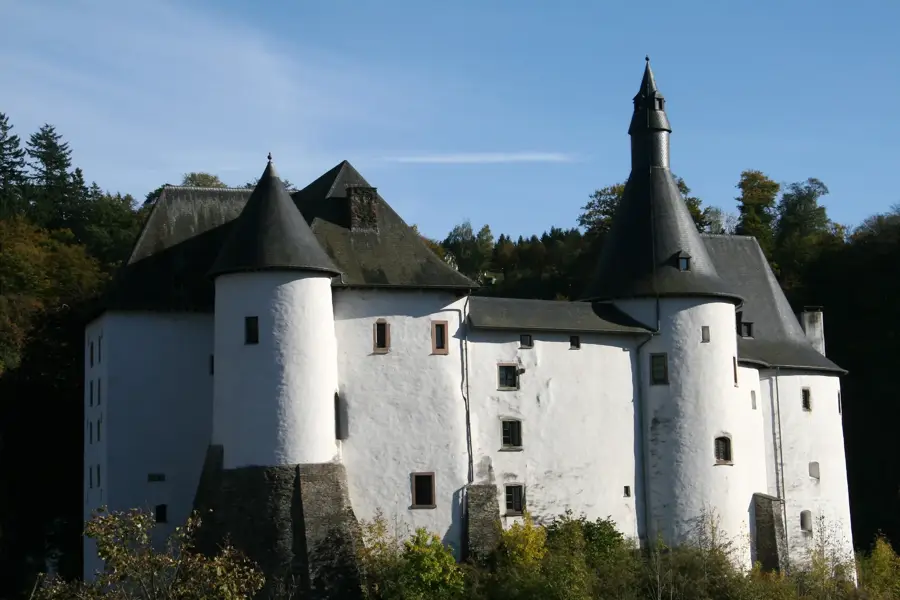
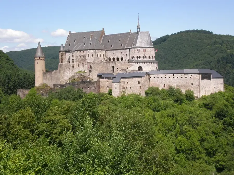
- Top sights: Kierch Houschent · Chapelle Sainte-Kunigunde · Schlënnerdall - Molberlay
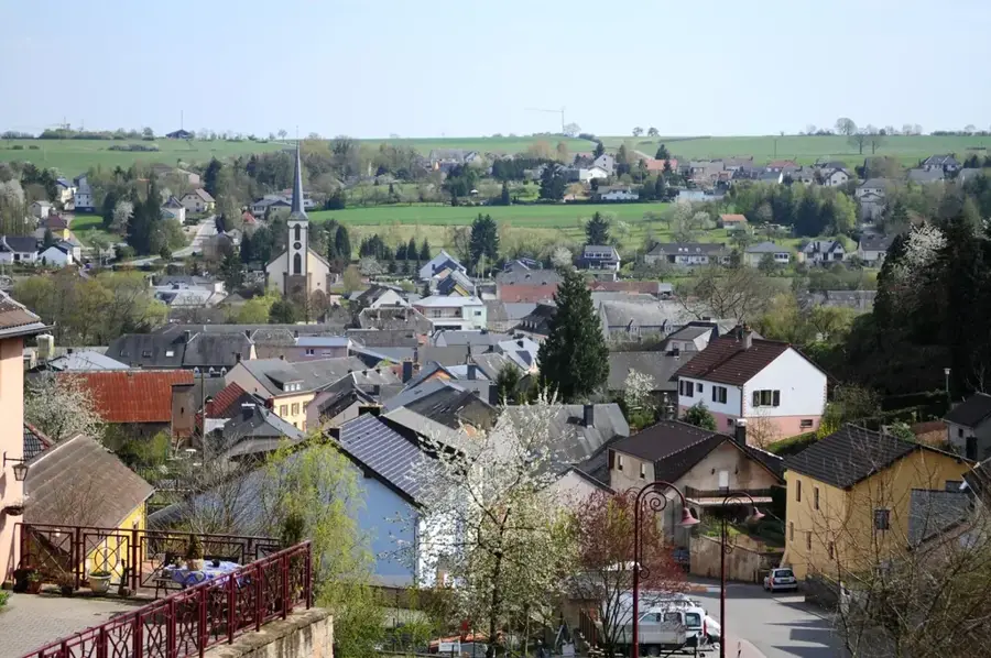
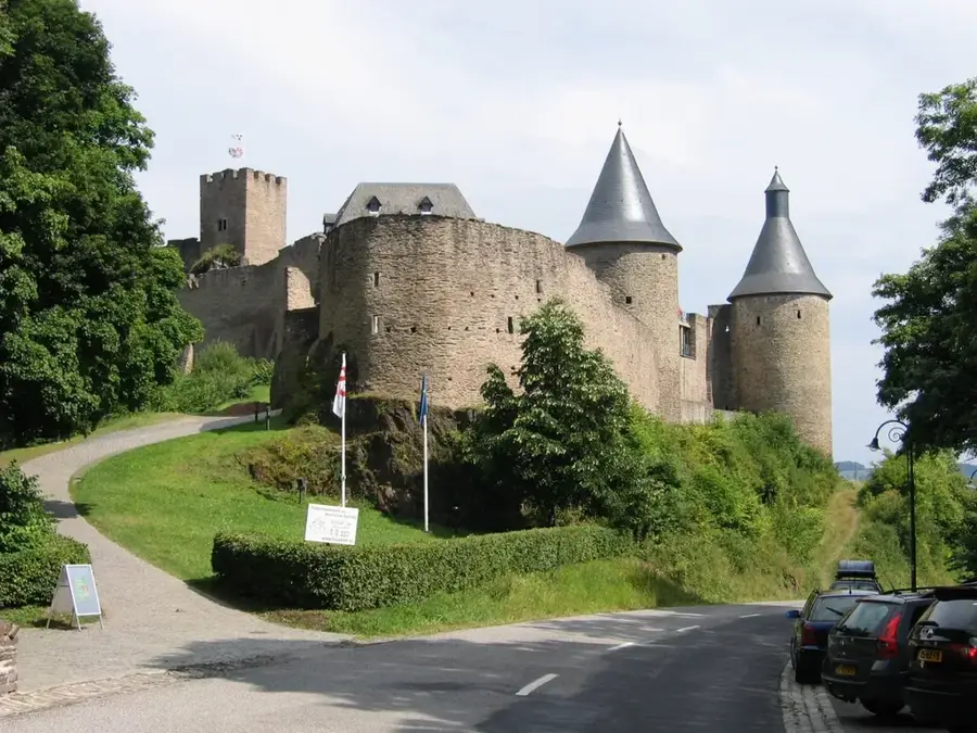
- Nearby: Dahl (7 km)
Best time to visit & climate
The most pleasant time to visit is Jun–Aug.
| Jan | Feb | Mar | Apr | May | Jun | Jul | Aug | Sep | Oct | Nov | Dec | |
|---|---|---|---|---|---|---|---|---|---|---|---|---|
| Avg °C | 0 | 1 | 4 | 8 | 12 | 16 | 18 | 17 | 14 | 9 | 5 | 1 |
| Rain mm | 75 | 64 | 63 | 49 | 75 | 75 | 74 | 81 | 59 | 67 | 72 | 84 |
📋 Practical info
Geography
Explore nearby
Notable places around
Route planner — Car & Motorhome
Where do you start? We build the route here, with stops and country notes along the way.
© OpenStreetMap contributors · OpenRouteService
Sights in the town Molberlee Ridge (5)
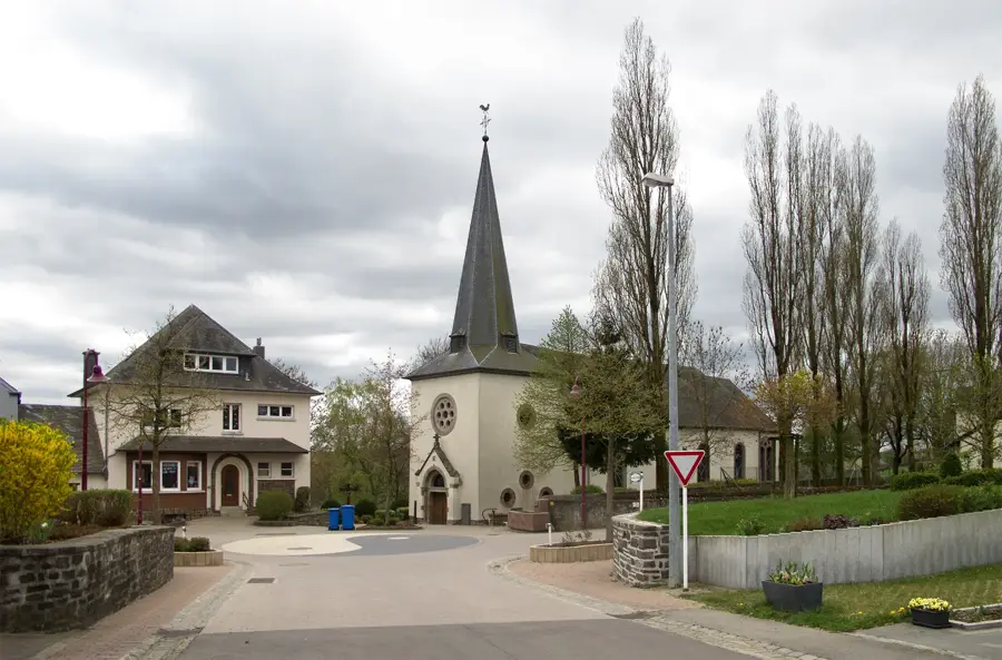
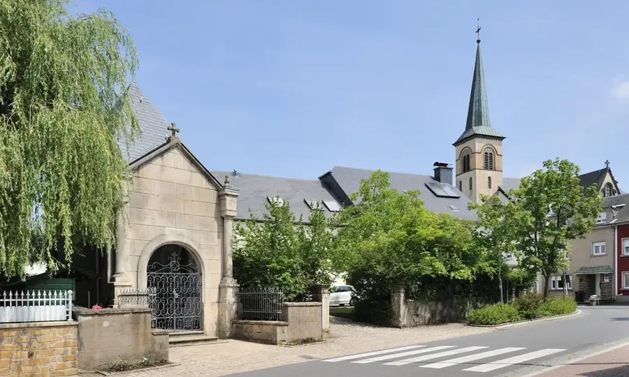
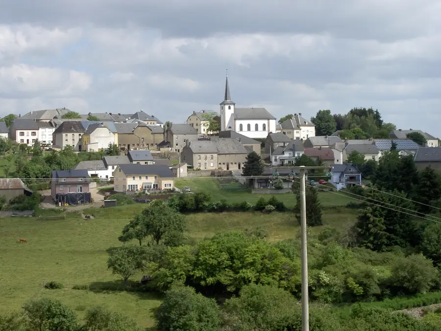
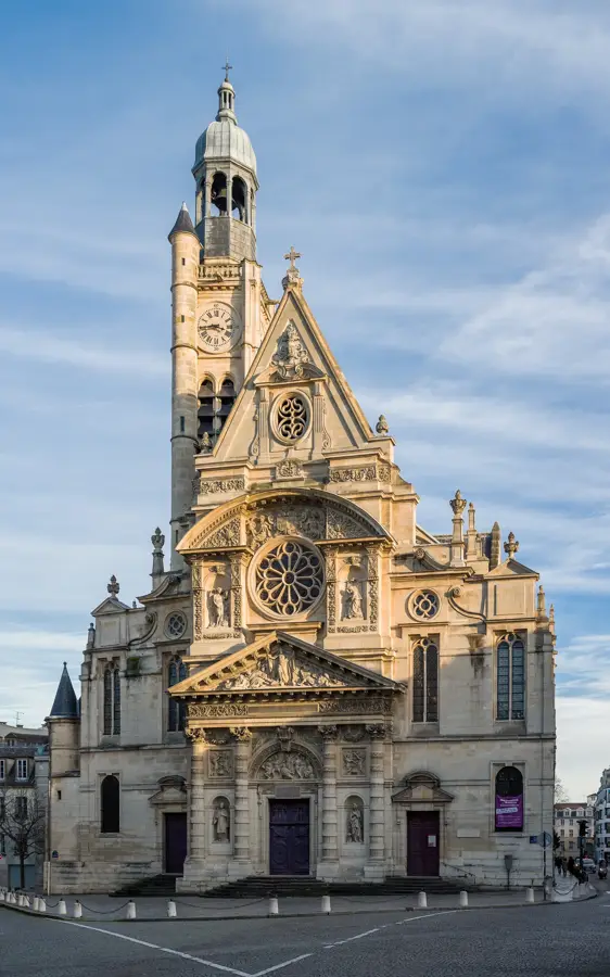
Église de la Nativité de la Bienheureuse-Vierge-Marie
Church building in Luxembourg. It is dedicated to the Nativity of the Blessed Virgin Mary.
Sights nearby
Frequently asked questions
What is Molberlee?
How difficult is the hike?
Which hiking trail leads there?
Can you visit Molberlee in the rain?
Are there places to eat?
Molberlee Ridge: where is it located?
Molberlee Ridge: what is there to see?
Molberlee Ridge: when is the best time to visit?
Molberlee Ridge: why is it worth visiting?

Nearby cities


History & landmarks
Nature
More places