Plizio Visual Lab
Oesling Plateau
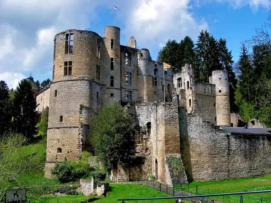
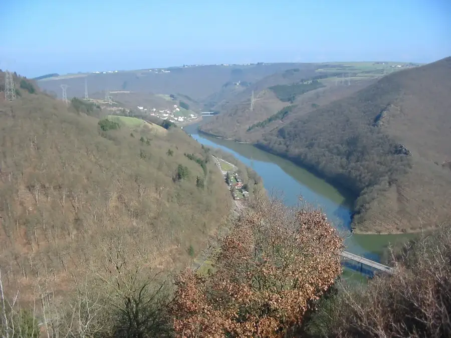
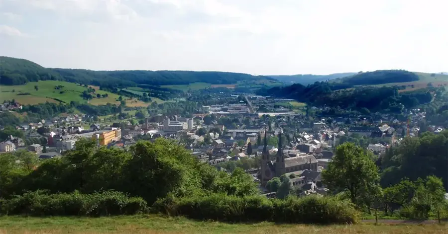
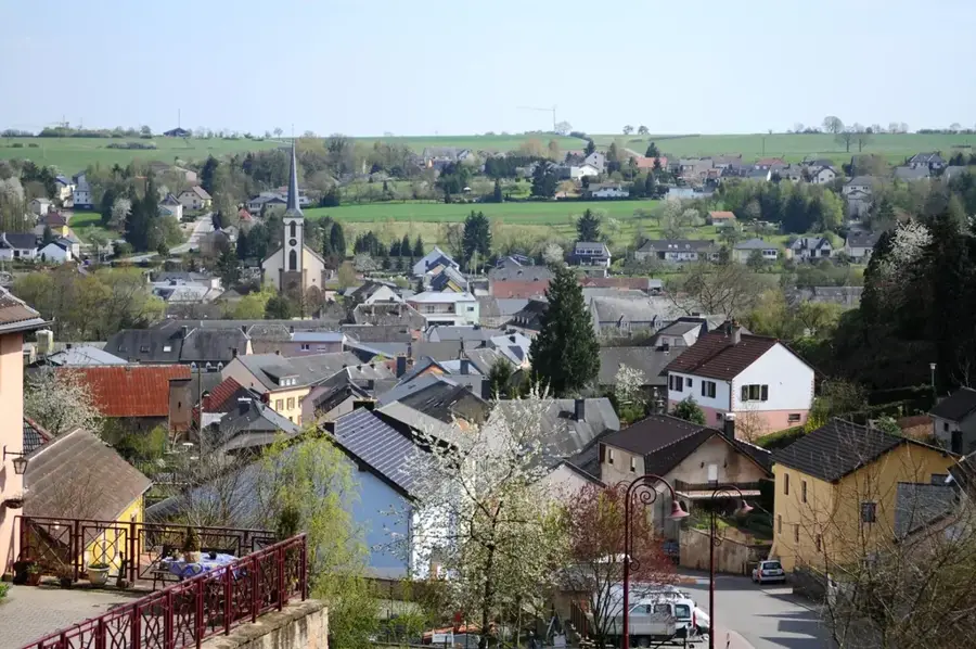
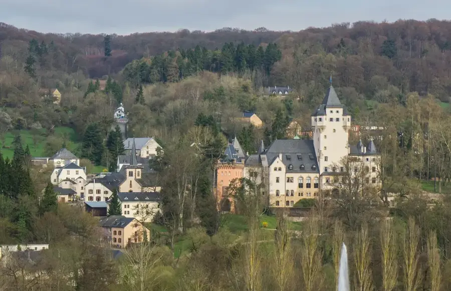
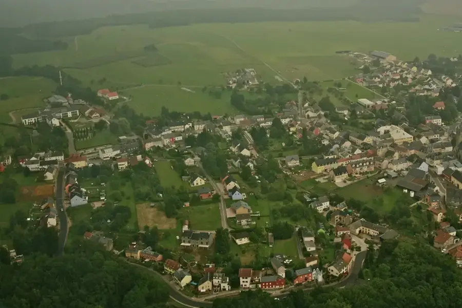
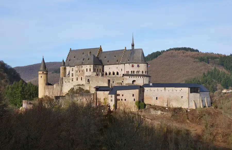
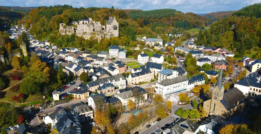
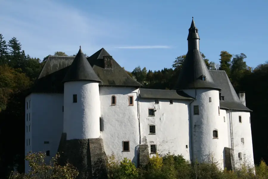
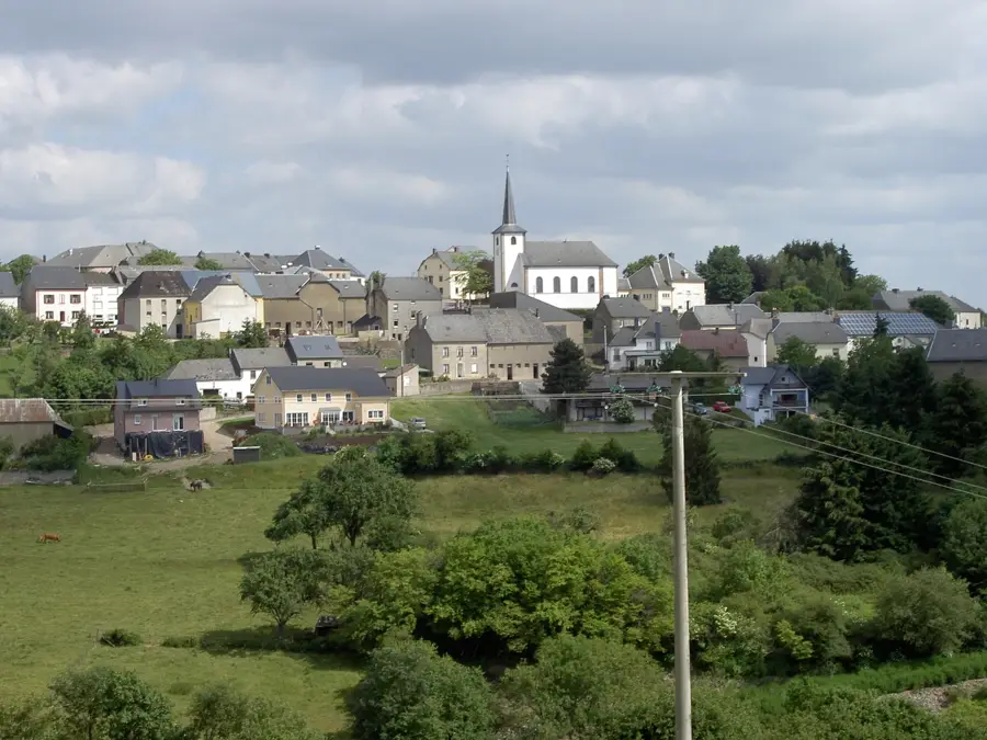
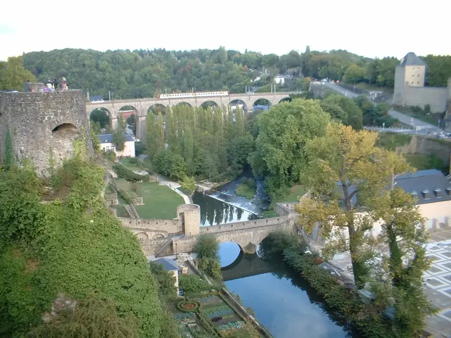
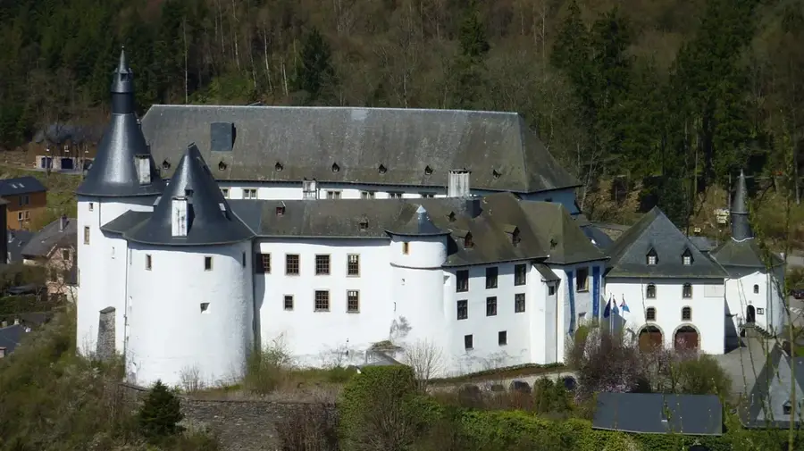
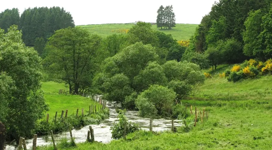
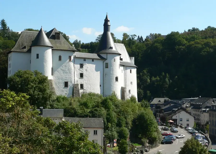
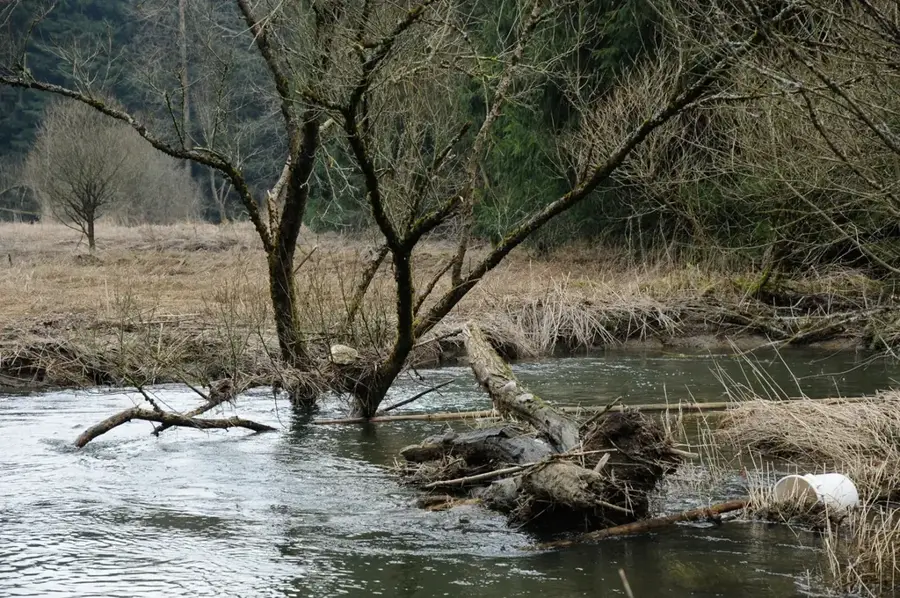
The Oesling forms the northern part of the Grand Duchy of Luxembourg and is geologically a continuation of the Ardennes massif. The region is characterized by an average altitude between 400 and 500 meters, with the Kneiff being the country's highest point at 560 meters. The plateau is incised by the deep valleys of the Sûre, Wiltz, and Clerve rivers, resulting in a rugged and varied topography. Vegetation consists predominantly of dense oak and beech forests, while agricultural use is limited to livestock farming and cereal cultivation due to the poor slate soils. Historically, the Oesling gained strategic importance during the Battle of the Bulge in the winter of 1944/1945, when the region was the scene of heavy fighting between Allied and German forces. Today, the area is known for its natural parks and well-preserved medieval castles, such as those in Vianden and Esch-sur-Sûre.
- Location: Luxembourg
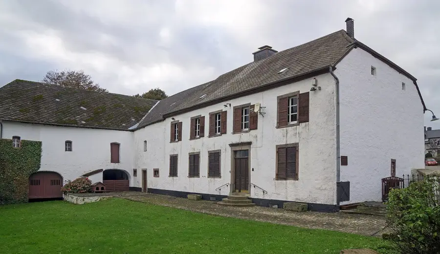
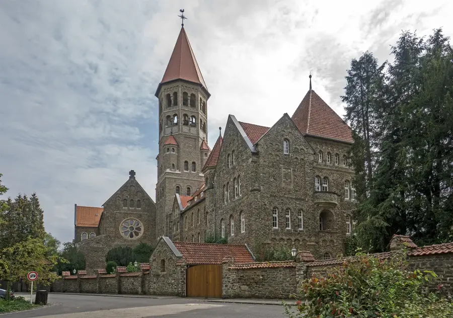
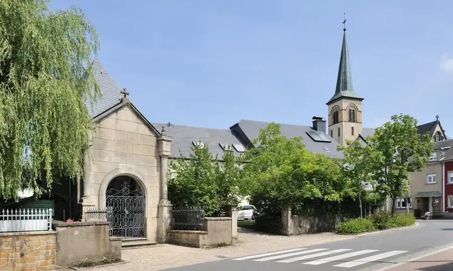
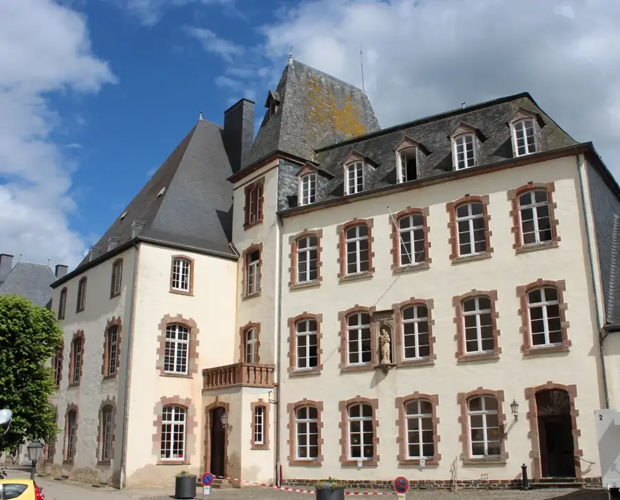
- Top sights: Saint-Laurent · Rackésmillen · Saint-Maximin
- Nearby: Dahl (5 km)
Best time to visit & climate
The most pleasant time to visit is Jun–Aug.
| Jan | Feb | Mar | Apr | May | Jun | Jul | Aug | Sep | Oct | Nov | Dec | |
|---|---|---|---|---|---|---|---|---|---|---|---|---|
| Avg °C | 0 | 1 | 4 | 8 | 12 | 16 | 18 | 17 | 14 | 9 | 5 | 1 |
| Rain mm | 75 | 64 | 63 | 49 | 75 | 75 | 74 | 81 | 59 | 67 | 72 | 84 |
📋 Practical info
Geography
Facts
- The Oesling covers approximately 32% of Luxembourg's total land area.
- Luxembourg's highest point, the Kneiff (560 m), is located in this region.
- Geologically, the plateau consists almost exclusively of Devonian slate.
- The region was a major theater of the Battle of the Bulge in 1944.
- The town of Wiltz is considered the cultural and administrative center of the Oesling.
- The Our Nature Park and Upper Sûre Nature Park protect local biodiversity.
Explore nearby
Notable places around
Route planner — Car & Motorhome
Where do you start? We build the route here, with stops and country notes along the way.
© OpenStreetMap contributors · OpenRouteService
Sights in the town Oesling Plateau (8)
Saint-Willibrord
Saint-Willibrord is a church building in Luxembourg.
beim Engel
beim Engel is a viewpoint in Luxembourg.
Lellingen - Freng / Op Baerel
Lellingen - Freng / Op Baerel is a nature reserve in Luxembourg.
Vue Kiischpelt
Vue Kiischpelt is a viewpoint in Luxembourg.
Sights nearby
Frequently asked questions
What is the Oesling?
What is the landscape like there?
Which activities are popular?
Is it cooler than in the south?
Which towns are in the Oesling?
Oesling Plateau: where is it located?
Oesling Plateau: what is there to see?
Oesling Plateau: when is the best time to visit?
Oesling Plateau: why is it worth visiting?

Nearby cities

History & landmarks
Nature
More places