Plizio Visual Lab
Wiltz River
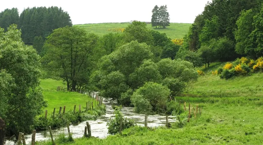
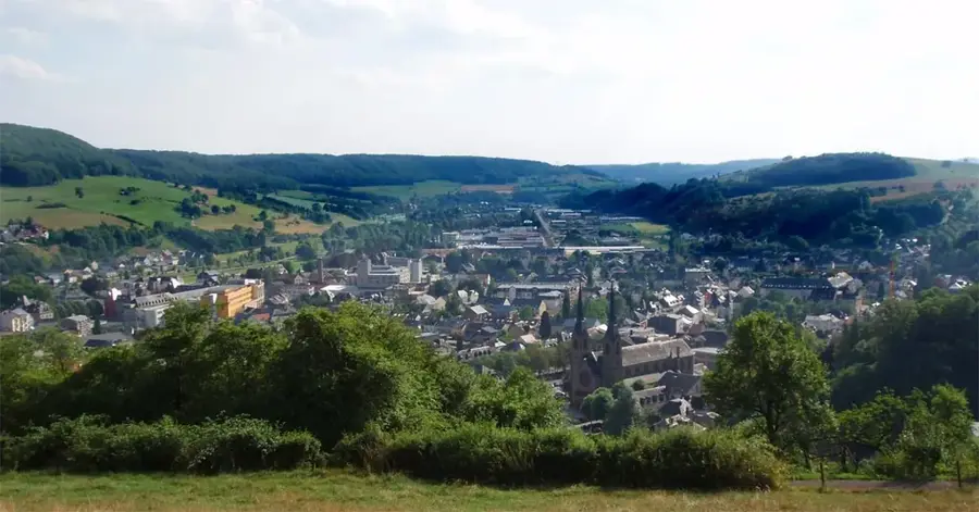
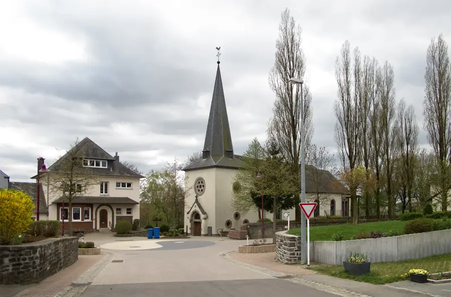
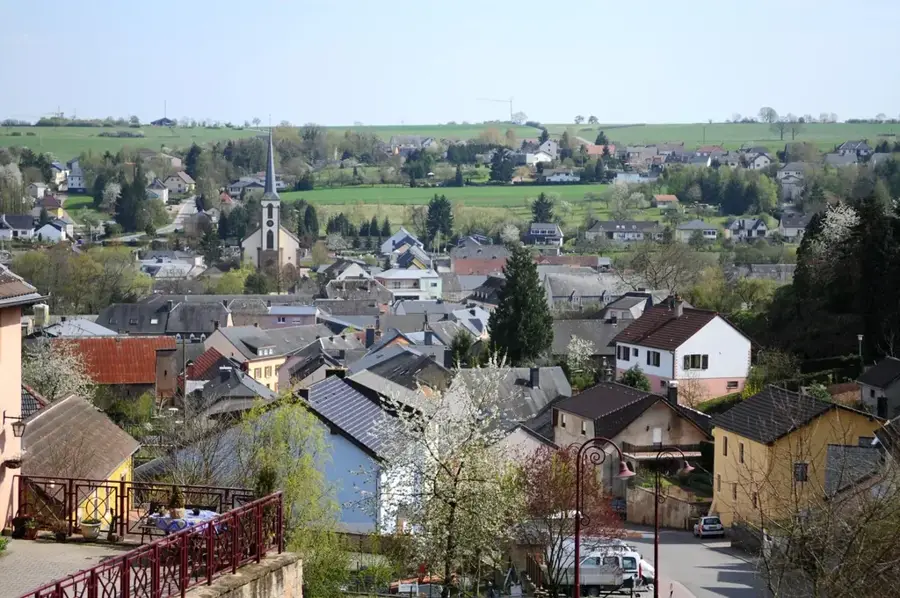
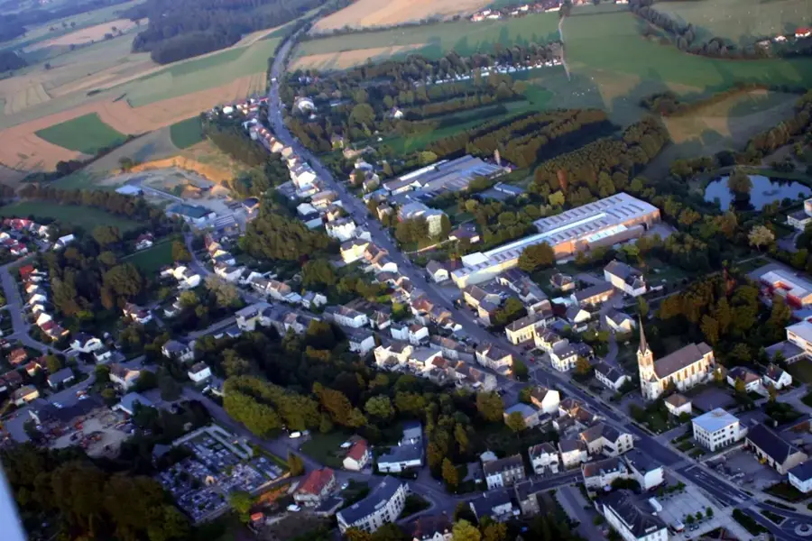
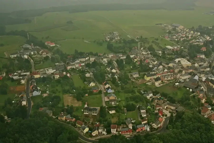
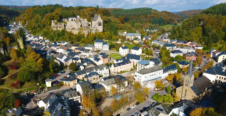
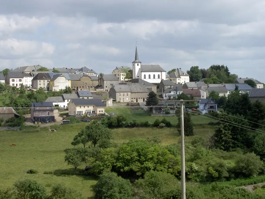
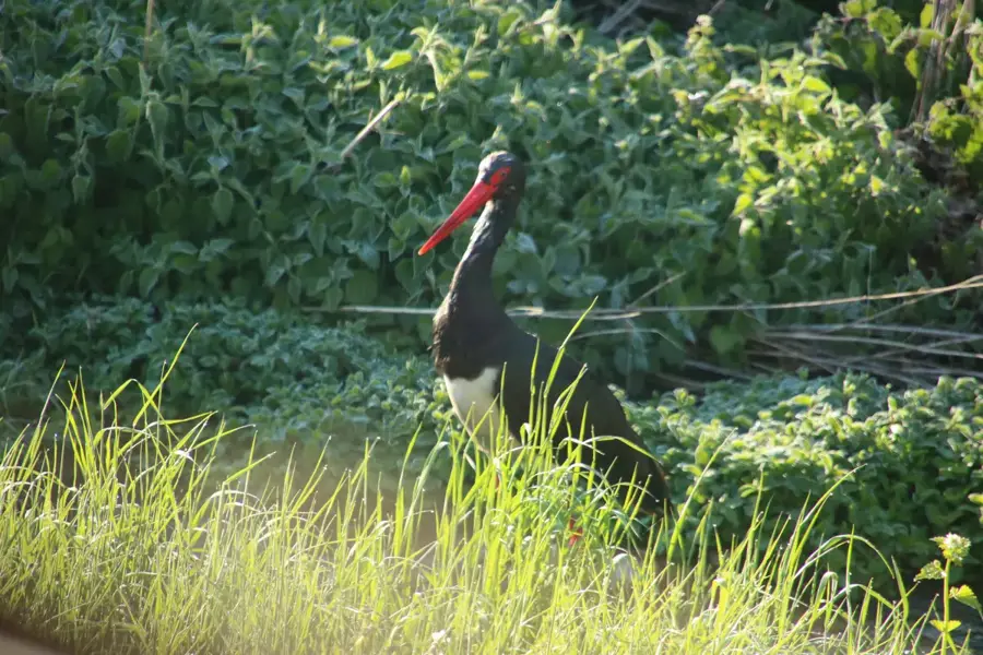
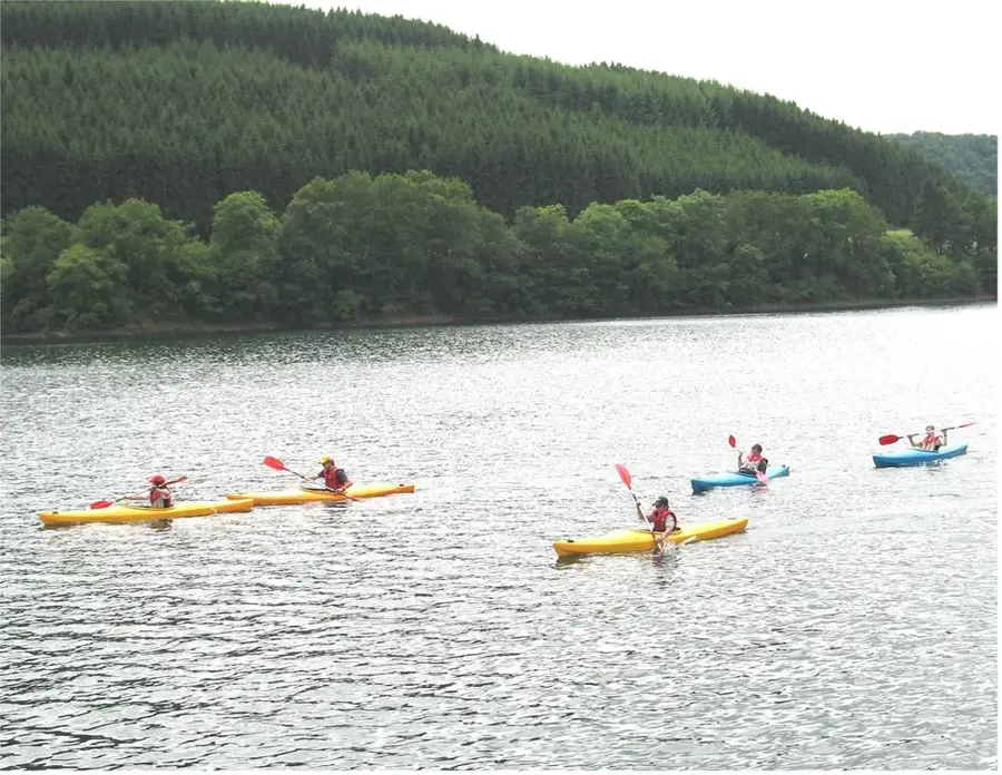
The Wiltz is a 42-kilometer-long river flowing through the Belgian Ardennes and the Luxembourgish Ösling region. It originates near Bastogne in Belgium and crosses the border into Luxembourg near Winseler. The river is a major tributary of the Sauer (Sûre) and defines the rugged relief of northern Luxembourg through its deep meanders. The Wiltz valley is known for its steep slate slopes, partly utilized for forestry. The town of Wiltz, which shares its name with the river, is terraced above the watercourse and was historically a center for tanning and brewing, with the river water being an essential resource. Today, the river is a favorite spot for anglers and features hikers along the 'Sentier du Nord' spectacular views of pristine natural landscapes. Ecologically, the Wiltz is a significant sanctuary for brown trout and various aquatic invertebrates that require clean, oxygen-rich flowing waters.
- Location: Luxembourg
- Top sights: Brandbau · Notre-Dame Consolatrice des Affligés · Monument National de la Grève
- Nearby: Esch-sur-Sûre (6 km)
Best time to visit & climate
The most pleasant time to visit is Jun–Aug.
| Jan | Feb | Mar | Apr | May | Jun | Jul | Aug | Sep | Oct | Nov | Dec | |
|---|---|---|---|---|---|---|---|---|---|---|---|---|
| Avg °C | 0 | 1 | 4 | 8 | 12 | 16 | 18 | 17 | 14 | 9 | 5 | 1 |
| Rain mm | 75 | 64 | 63 | 49 | 75 | 75 | 74 | 81 | 59 | 67 | 72 | 84 |
📋 Practical info
Geography
Facts
- The total length of the Wiltz is approximately 42 kilometers.
- It originates south of Bastogne in Belgium.
- The river joins the Sauer at Goebelsmühle.
- The Wiltz is the main river of the Luxembourgish Ösling.
- The Clerve is the most significant tributary of the Wiltz.
- The elevation drop from source to mouth is about 250 meters.
Explore nearby
Notable places around
Route planner — Car & Motorhome
Where do you start? We build the route here, with stops and country notes along the way.
© OpenStreetMap contributors · OpenRouteService
Sights in the town Wiltz River (10)
National Brewery Museum🏛 museum
Museum showcasing Luxembourg's brewing traditions.
Museum of the Battle of the Bulge🏛 museum
Museum covering the 1944-45 Ardennes offensive with exhibits.
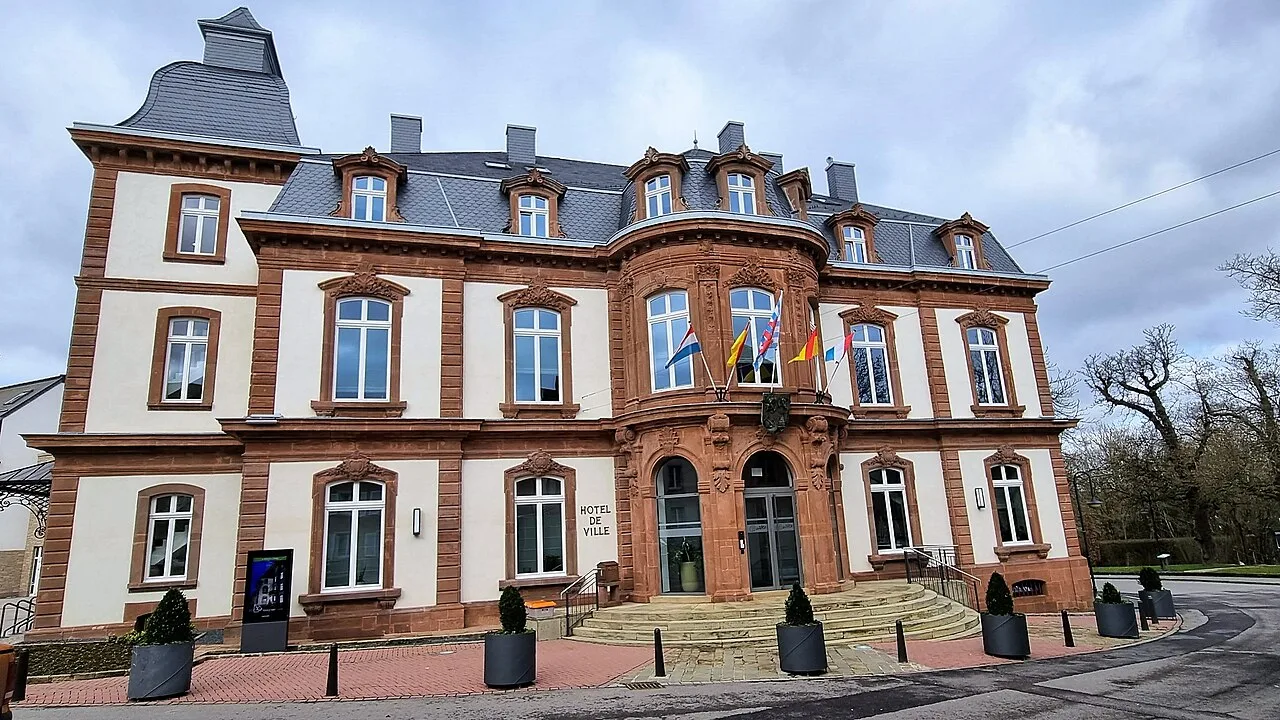
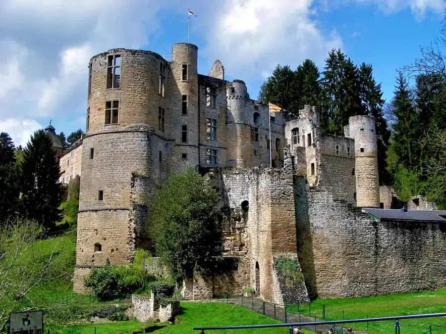
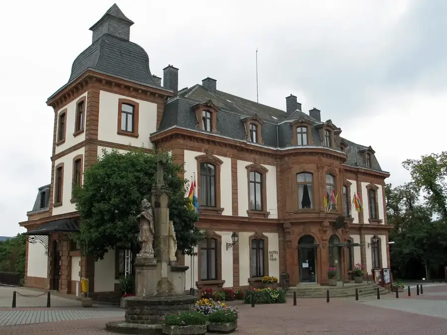
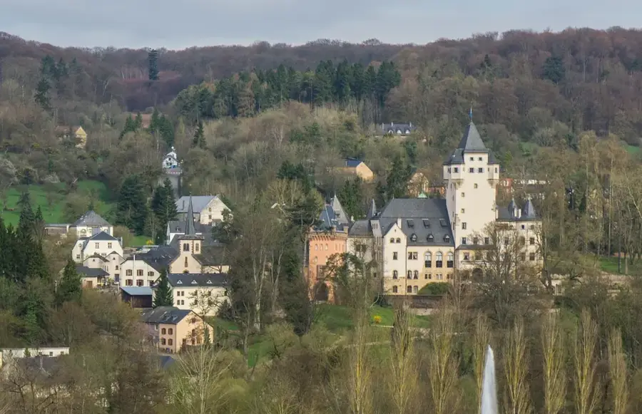
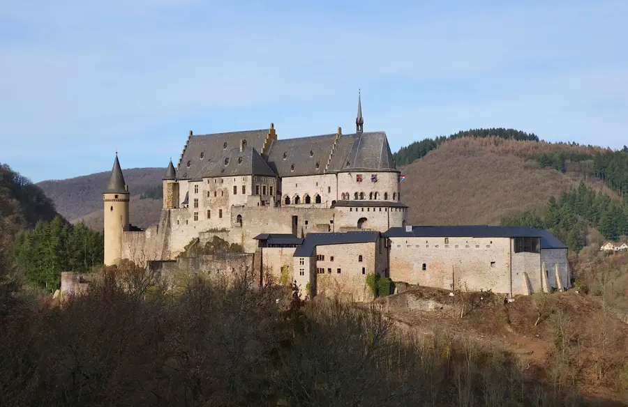
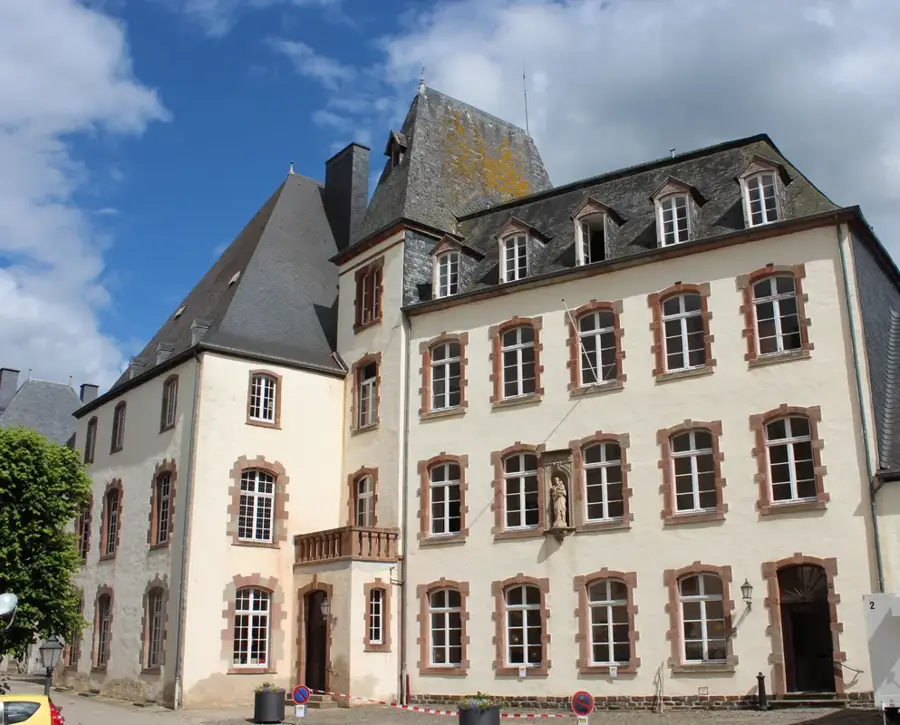
Château de Wiltz🏰 castle
Castle in Wiltz, now town hall and cultural venue.
Amphithéâtre du Château de Wiltz
Open-air theatre in the castle park used for concerts and festivals.
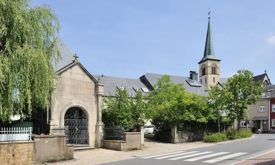
Saints-Pierre-et-Paul
Church in Wiltz dedicated to Saints Peter and Paul.
Brasserie Simon
Historic brewery in Wiltz known for traditional beer.
Sights nearby
Frequently asked questions
Does the river flow through the town of Wiltz?
Is the Wiltz valley heavily forested?
Where does the Wiltz flow into?
Are there railway lines in the valley?
Is the river suitable for canoeing?
Wiltz River: where is it located?
Wiltz River: what is there to see?
Wiltz River: when is the best time to visit?
Wiltz River: why is it worth visiting?

Nearby cities


History & landmarks
Nature
More places