Plizio Visual Lab
Salavan
ℹ️Practical info — Salavan
▾
🌤 Weather — 5 days
📍 Nearby
Sights nearby
💡 Tips
- Traces of the war are still present; when taking trips outside town, stay on marked paths due to unexploded ordnance (UXO).
- Rent a scooter to explore the nearby waterfalls on the Bolaven Plateau.
- English-speaking guides are scarce; having an offline translation app ready is extremely helpful.
- The climate here can be very humid during the rainy season and extremely hot in summer; plan activities for the early morning.
🍽 Food
The traditional Lao meat salad is made very authentically here; look for it at the local markets.
Salavan is close to the coffee-growing region; enjoy some fresh, strong coffee here.
The ultimate staple food; best eaten traditionally with your fingers alongside grilled meat.
🛍 Shopping · 🧘 Quiet spots
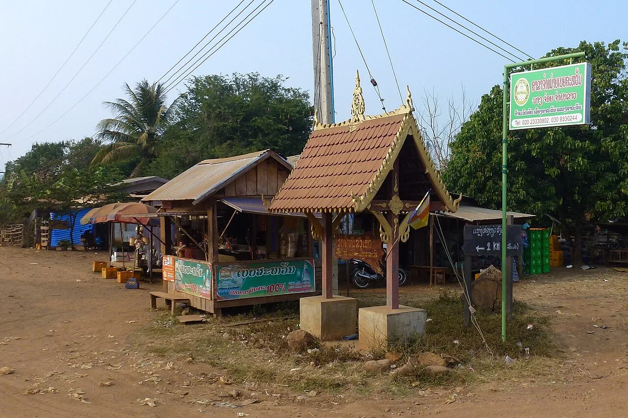
A large market selling everything from clothes to regional food and household goods.
You can find traditional Lao women's skirts in the market, often made by ethnic minorities from the surrounding areas.
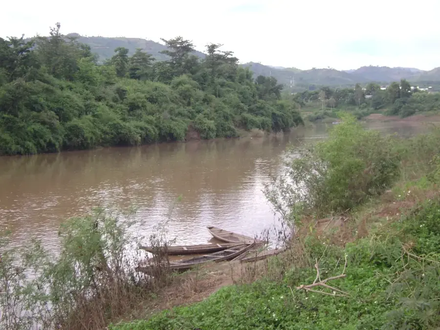
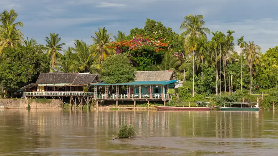
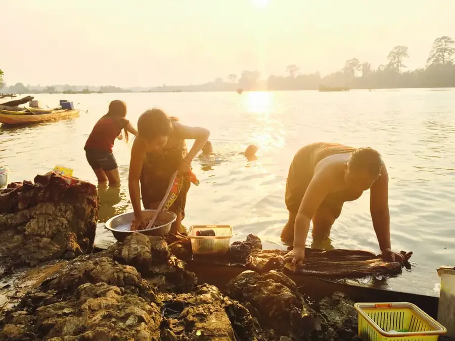
The river flows quietly past the city; excellent for a relaxing evening walk.
A quiet temple complex in town that is often nearly deserted.
Water temperature…
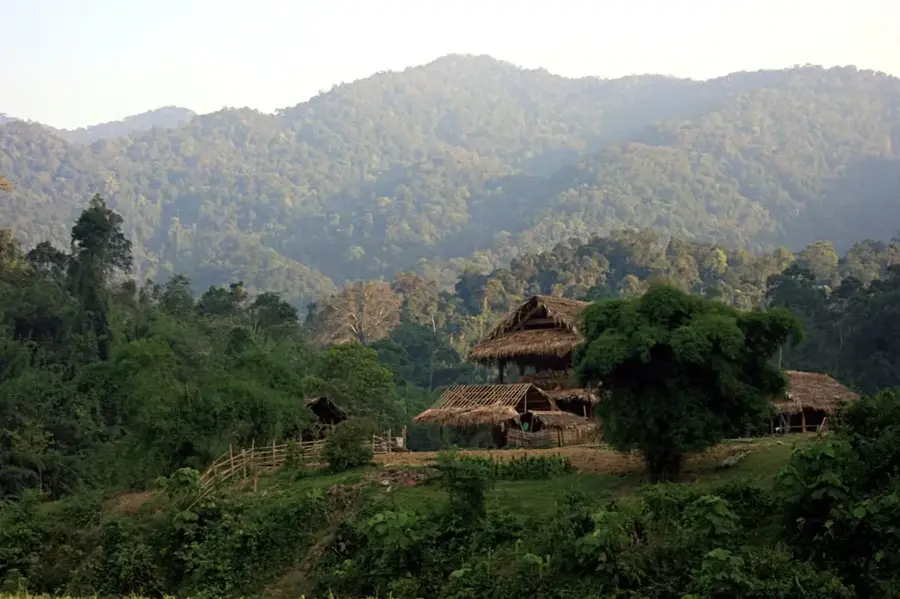
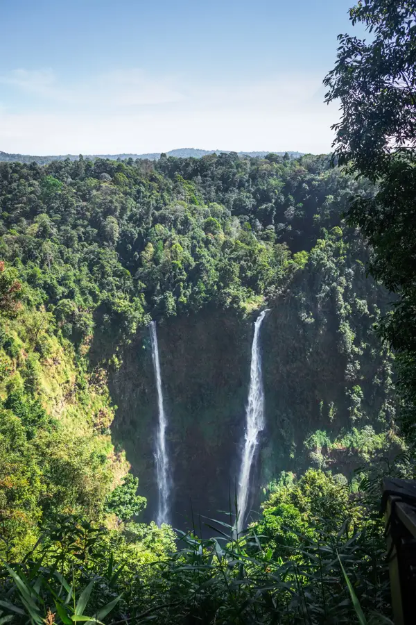
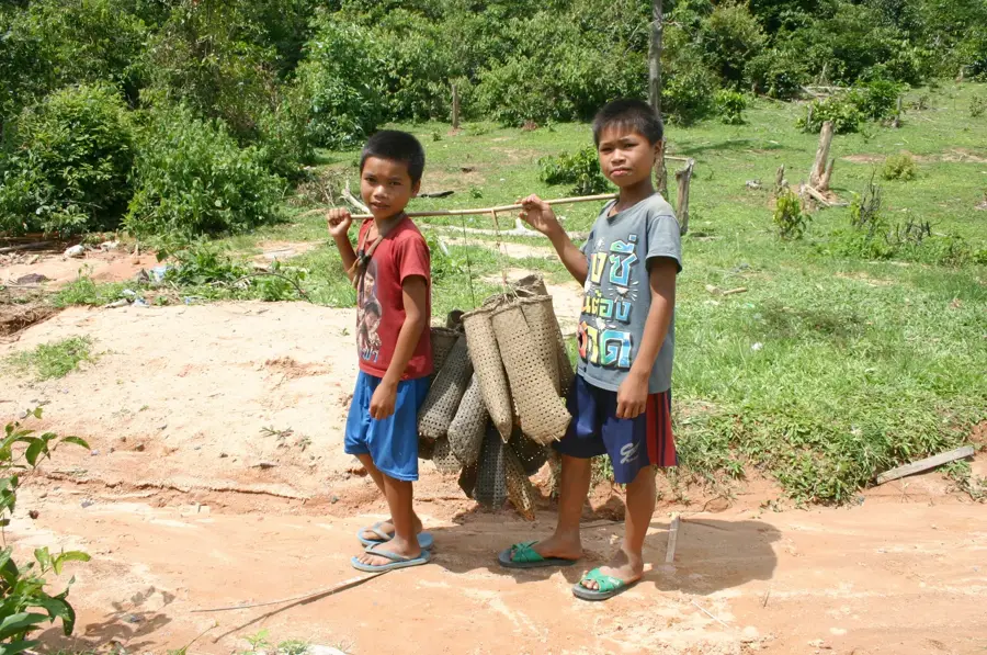
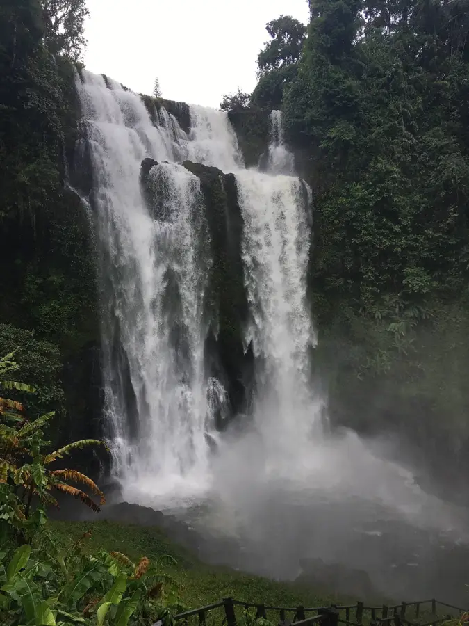
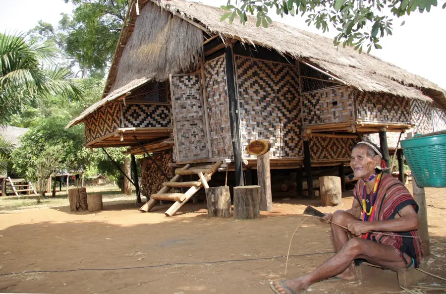
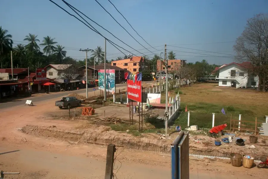
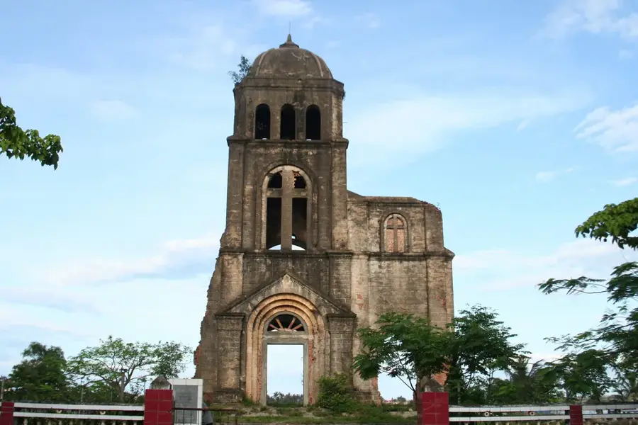
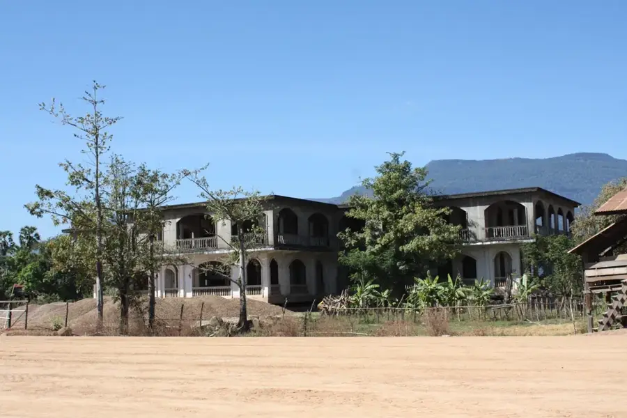
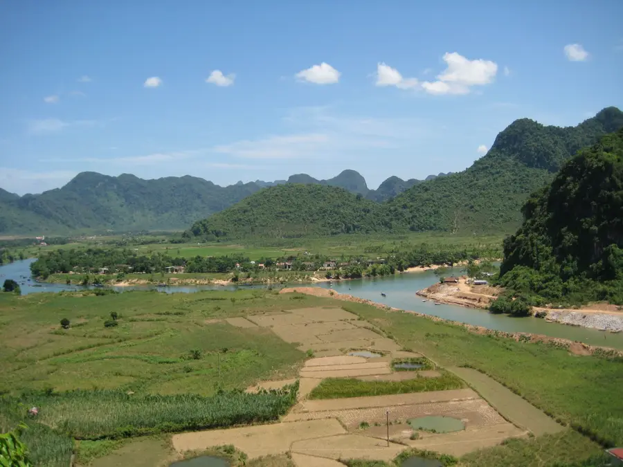
Salavan, in Lao Saravane, is the capital of the province of the same name in southern Laos, set on the southern edge of the Bolaven Plateau along the Xe Don River. As part of the Ho Chi Minh Trail, the town was heavily bombed during the Vietnam War, with raids that destroyed almost all of its historic fabric; today the centre is mostly modern and modest in appearance. The province has a strikingly diverse ethnic make-up that includes, besides Lao Loum, many Mon-Khmer-speaking groups such as Katu, Tariang and Pakoh living in the surrounding mountains. The economy is dominated by agriculture: rice, coffee grown on the plateau above, cassava and water buffalo husbandry. The nearby Tad Lo waterfalls and traditional Lao villages are popular attractions.
- Location: Laos
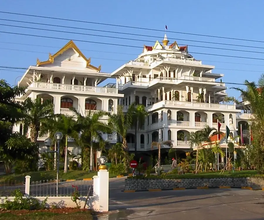
- Top sights: Wat Kang · Salavan Market
- Nearby: Tad Yuang (35 km)
- Population: ~5.521 (2026)
Best time to visit & climate
The most pleasant time to visit is Jan, Feb, Dec.
| Jan | Feb | Mar | Apr | May | Jun | Jul | Aug | Sep | Oct | Nov | Dec | |
|---|---|---|---|---|---|---|---|---|---|---|---|---|
| Avg °C | 23 | 25 | 28 | 29 | 28 | 26 | 25 | 25 | 25 | 24 | 24 | 22 |
| Rain mm | 9 | 7 | 32 | 51 | 117 | 137 | 230 | 250 | 223 | 130 | 49 | 29 |
Geography
Facts
- Capital of Salavan Province, an area heavily damaged during the Indochina wars.
- The surrounding region is known for high-quality coffee and cardamom production.
- Situated near the fertile and climatically cool Bolaven Plateau.
- Home to diverse indigenous Mon-Khmer speaking ethnic groups.
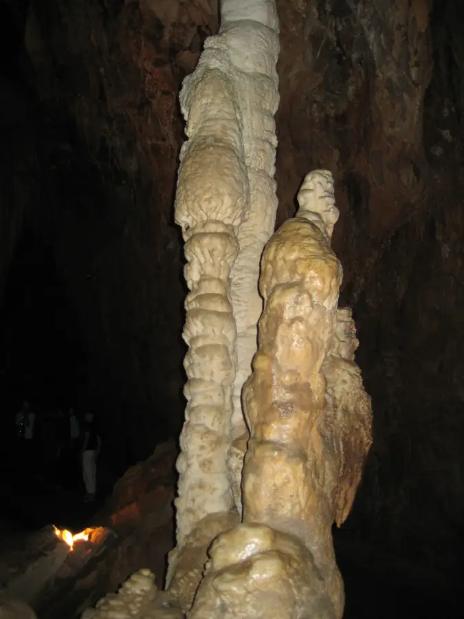
- The nearby Tad Lo area is famous for its stunning cascading waterfalls.
- The town itself has a quiet, laid-back atmosphere with minimal tourist infrastructure.
Explore nearby
Notable places around
Route planner — Car & Motorhome
Where do you start? We build the route here, with stops and country notes along the way.
© OpenStreetMap contributors · OpenRouteService
Sights in the town Salavan (2)
Frequently asked questions
Why visit Salavan?
What is Tad Lo?
Can you meet hill tribes in Salavan?
How is the climate?
Is there a market?
Salavan: where is it located?
Salavan: what is there to see?
Salavan: when is the best time to visit?
Salavan: why is it worth visiting?

Nearby cities
History & landmarks

Nature
More places