Plizio Visual Lab
Quảng Bình Coast
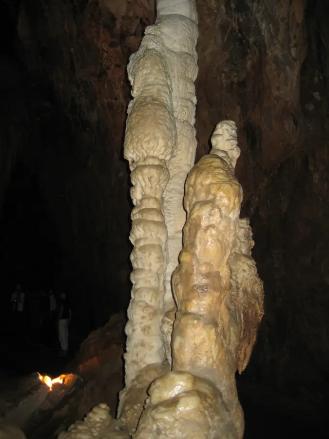
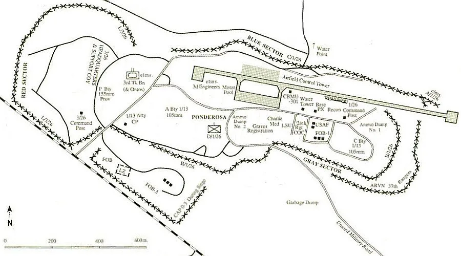
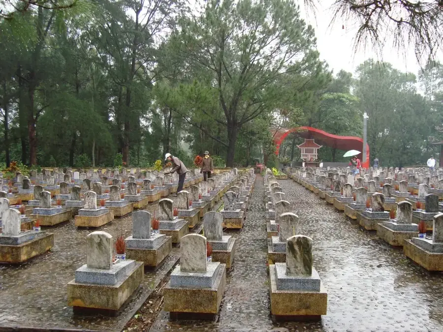
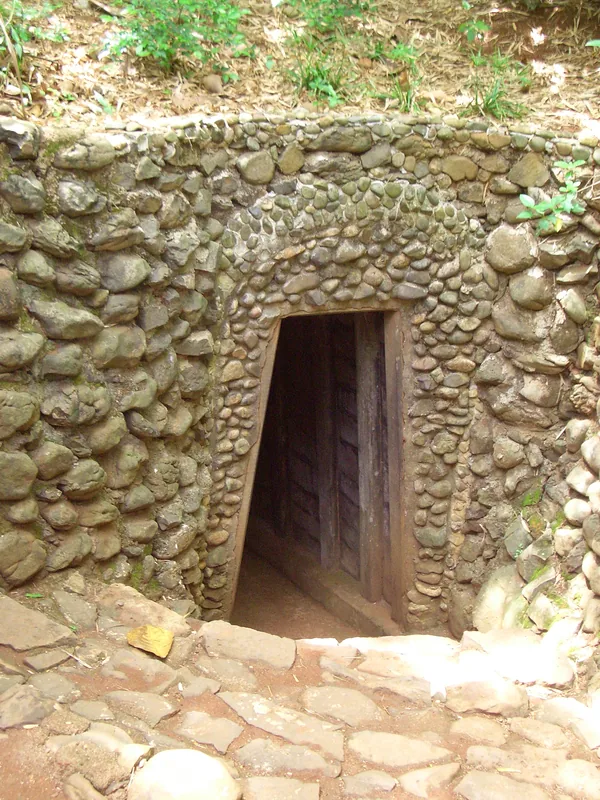
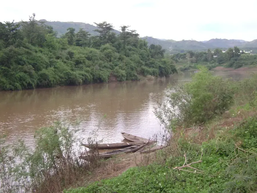
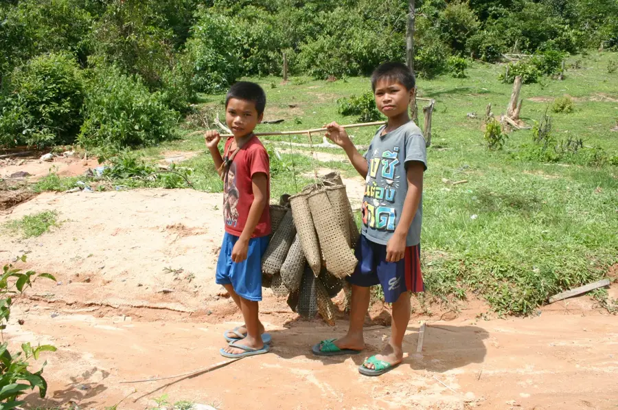
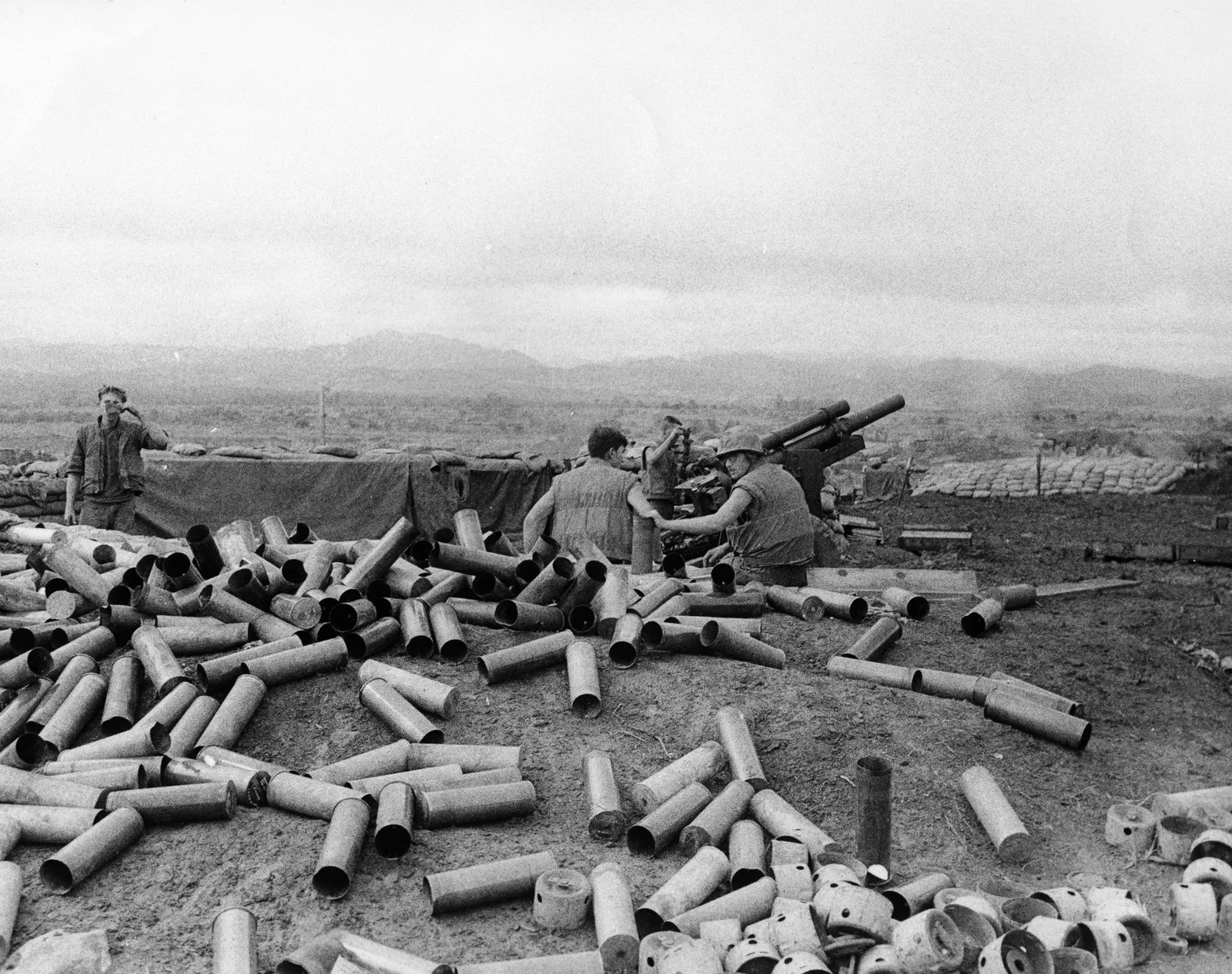
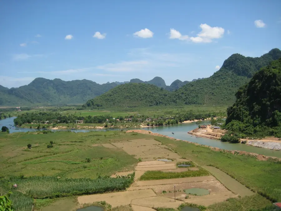
The Quảng Bình coast in Central Vietnam is renowned for its strategic historical position and extraordinary geological features. Stretching for approximately 116 kilometers, the coastline provides wide sandy beaches such as Nhat Le and the unique rock formations of Da Nhay. Historically, this coastal stretch gained immense significance during the Vietnam War due to its proximity to the 17th parallel Demilitarized Zone and its role as a transit point for the Ho Chi Minh Trail. Dong Hoi city serves as the provincial capital and the main gateway to the nearby Phong Nha-Ke Bang National Park, a UNESCO World Heritage site. The coastal economy is supported by a large fishing fleet and a rapidly growing tourism sector driven by the world-famous cave systems in the hinterland. Furthermore, the Vung Chua-Dao Yen area is a site of national importance, housing the final resting place of General Vo Nguyen Giap, a prominent figure in Vietnam's modern military history.
- Location: Vietnam
- Top sights: Bao Ninh Commune - Fish sauce making profession · Nhat Le Beach · Bảo tàng tổng hợp tỉnh Quảng Trị
- Nearby: Cửa Việt Commune (63 km)
Best time to visit & climate
The most pleasant time to visit is Jan–Mar.
| Jan | Feb | Mar | Apr | May | Jun | Jul | Aug | Sep | Oct | Nov | Dec | |
|---|---|---|---|---|---|---|---|---|---|---|---|---|
| Avg °C | 18 | 20 | 23 | 26 | 27 | 27 | 27 | 26 | 26 | 24 | 22 | 19 |
| Rain mm | 36 | 23 | 41 | 60 | 122 | 111 | 192 | 233 | 345 | 379 | 140 | 79 |
📋 Practical info
Geography
Facts
- The coastline of Quang Binh province extends for 116 kilometers.
- Dong Hoi city is located at the mouth of the Nhat Le River.
- The region is situated approximately 50 kilometers north of the 17th parallel.
- General Vo Nguyen Giap was buried at Vung Chua-Dao Yen in 2013.
- The coastline is characterized by five major river estuaries.
- The provincial fishing fleet consists of over 5,000 registered vessels.
Explore nearby
Notable places around
Route planner — Car & Motorhome
Where do you start? We build the route here, with stops and country notes along the way.
© OpenStreetMap contributors · OpenRouteService
Sights in the town Quảng Bình Coast (11)
Sights nearby
Frequently asked questions
What is the highlight in Quang Binh?
Is the coast suitable for swimming?
Do you need a visa for cave tours?
What is the best time to visit?
How to get to Quang Binh?
Quảng Bình Coast: where is it located?
Quảng Bình Coast: what is there to see?
Quảng Bình Coast: when is the best time to visit?
Quảng Bình Coast: why is it worth visiting?

Nearby cities
History & landmarks

More places