Plizio Visual Lab
Dong Hua Sao National Park
Weather…
Water temperature…
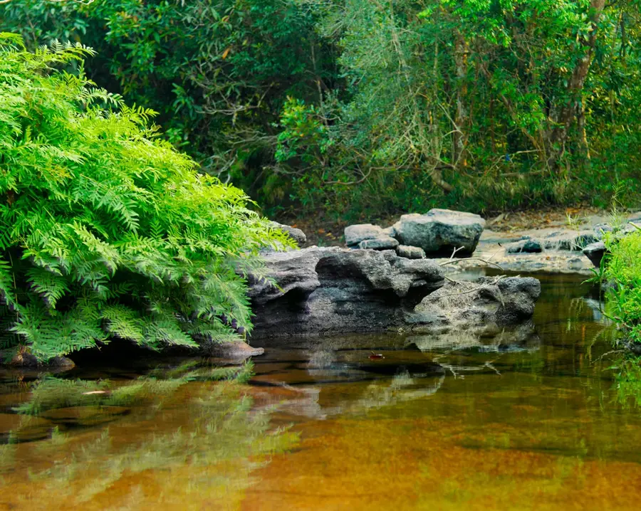
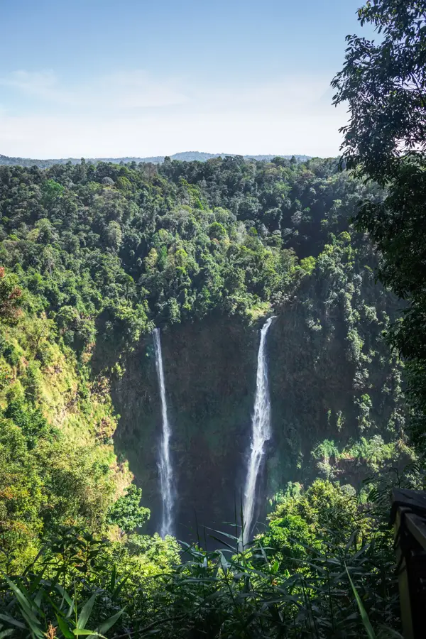
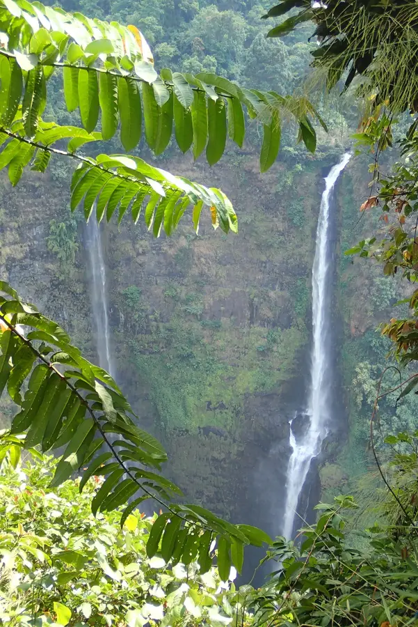
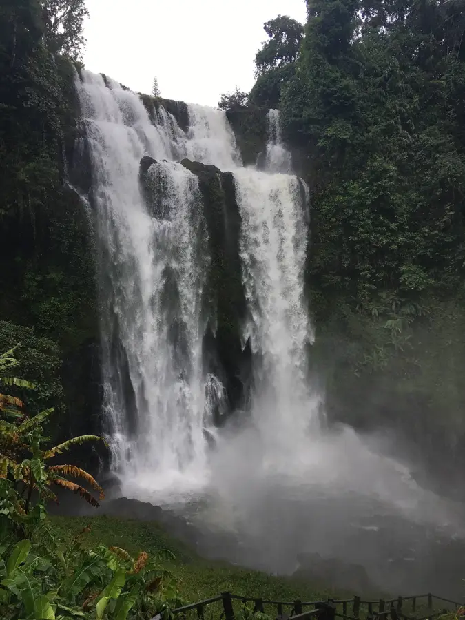
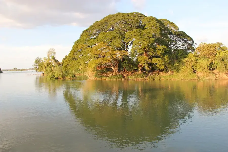
Dong Hua Sao National Park is located in Champasak Province in southern Laos, encompassing the steep western slopes of the Bolaven Plateau. Covering an area of roughly 1,100 square kilometers, the park consists primarily of dense evergreen forests that drop dramatically towards the Mekong River plains. This sheer topography is responsible for some of Laos's most spectacular waterfalls, notably the iconic Tad Fane twin waterfalls, which plunge over 100 meters into a lush gorge. The protected area is a haven for biodiversity, attracting birdwatchers and botanists with its populations of hornbills and wild orchids. The park's cooler, higher-altitude edges are also intermingled with coffee plantations managed by local ethnic minorities.
- Location: Laos
- Nearby: Tad Fane (14 km)
Best time to visit & climate
The most pleasant time to visit is Jan, Feb, Dec.
| Jan | Feb | Mar | Apr | May | Jun | Jul | Aug | Sep | Oct | Nov | Dec | |
|---|---|---|---|---|---|---|---|---|---|---|---|---|
| Avg °C | 23 | 25 | 27 | 28 | 26 | 25 | 24 | 24 | 24 | 24 | 24 | 22 |
| Rain mm | 5 | 5 | 29 | 51 | 123 | 154 | 260 | 284 | 229 | 104 | 31 | 17 |
📋 Practical info
Geography
Facts
- Located in the southern Champasak Province.
- Incorporates the steep edges of the Bolaven Plateau.
- Spans approximately 1,100 square kilometers.
- Features the breathtaking 100-meter Tad Fane waterfalls.
- Renowned for diverse birdlife and wild orchids.
- Bordered by highland coffee-growing communities.
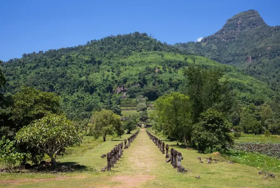
Explore nearby
Notable places around
Route planner — Car & Motorhome
Where do you start? We build the route here, with stops and country notes along the way.
© OpenStreetMap contributors · OpenRouteService
Sights nearby
Frequently asked questions
What is the difference from the Dong Hua Sao Reserve?
Are there coffee plantations in the park?
Which waterfalls are most famous?
Are there hiking trails?
What clothing is advisable?
Dong Hua Sao National Park: where is it located?
Dong Hua Sao National Park: when is the best time to visit?
Dong Hua Sao National Park: why is it worth visiting?

Nearby cities
History & landmarks
More places