Plizio Visual Lab
Phou Ane

Weather…
Water temperature…
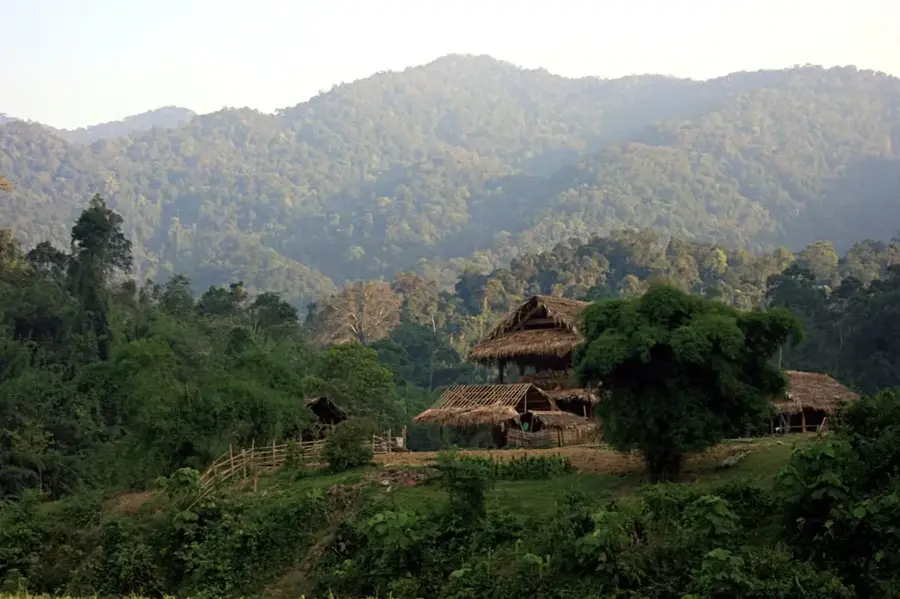
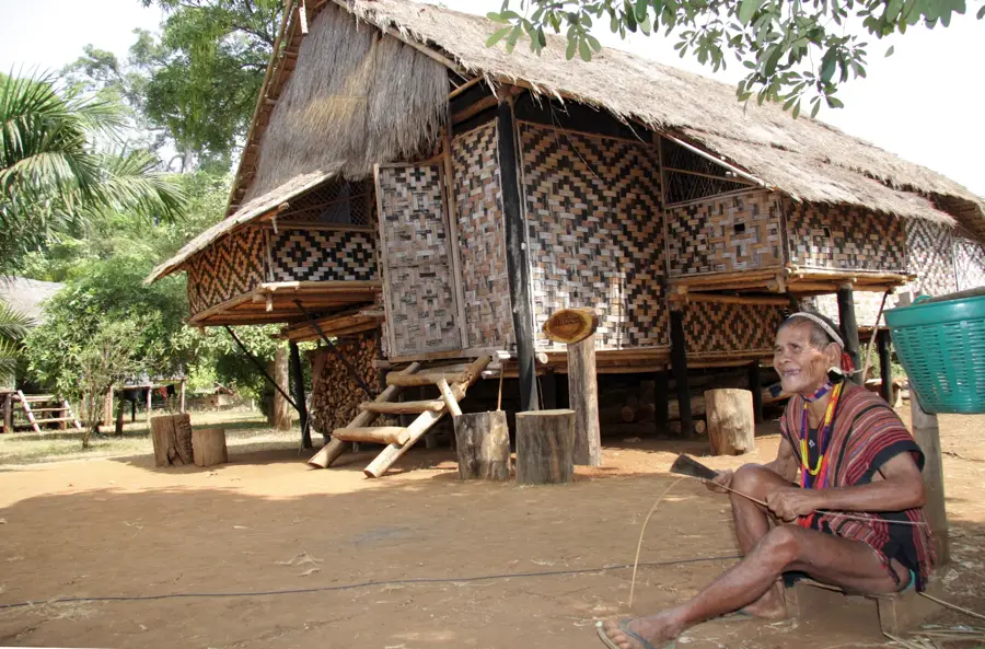
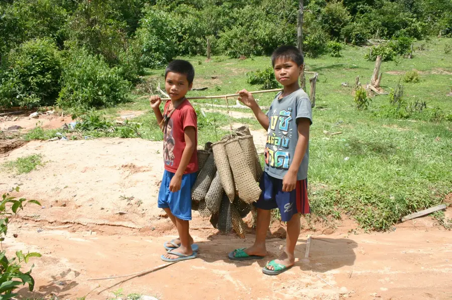
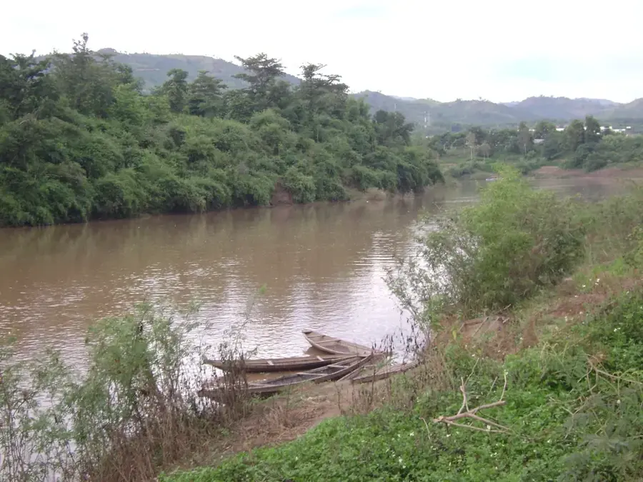
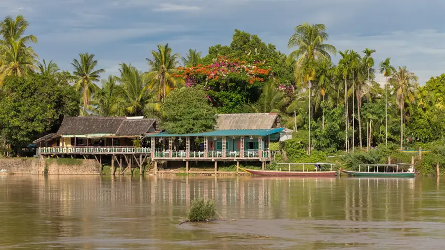
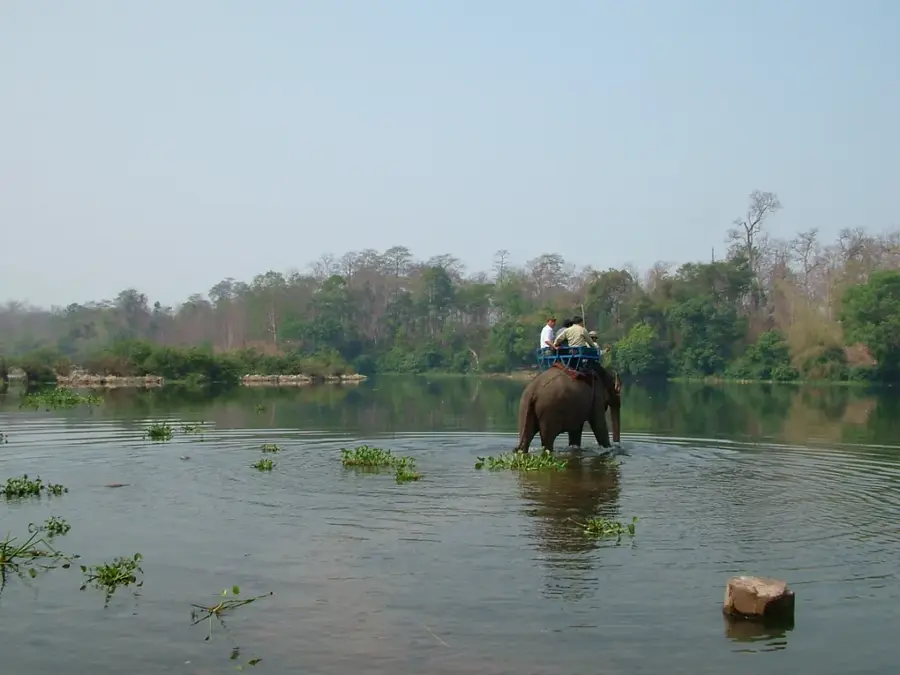
Phou Ane is a prominent mountain peak in the remote Attapeu Province of southeastern Laos, forming part of the mighty Annamite Range. The region surrounding the mountain is geographically characterized by extremely steep terrain and almost impenetrable primary rainforests, which remain among the least explored areas of Indochina to this day. Due to its proximity to the Vietnamese border, the massif was historically of strategic importance, providing natural cover for secret supply routes during the regional conflicts of the 20th century. The climate at Phou Ane is marked by high rainfall and almost constant cloud cover, which has led to the formation of unique montane ecosystems. These forests are sanctuaries for rare animal species such as the giant muntjac and various endemic birds that have already been displaced from lower-lying regions. For the local ethnic minority populations living at the foot of the mountain, Phou Ane is not just a geographical obstacle but also a vital source of forest products and clean spring water. The rugged rock formations and deep gorges make any expedition into this wilderness a logistical challenge, while simultaneously preserving the mountain's status as one of the last true wilderness areas of Laos.
- Location: Laos
- Nearby: Sekong (21 km)
Best time to visit & climate
The most pleasant time to visit is Jan, Feb, Dec.
| Jan | Feb | Mar | Apr | May | Jun | Jul | Aug | Sep | Oct | Nov | Dec | |
|---|---|---|---|---|---|---|---|---|---|---|---|---|
| Avg °C | 23 | 25 | 27 | 28 | 26 | 25 | 24 | 24 | 24 | 24 | 24 | 22 |
| Rain mm | 5 | 5 | 29 | 51 | 123 | 154 | 260 | 284 | 229 | 104 | 31 | 17 |
📋 Practical info
Geography
Facts
- The mountain is located within the strategically important Annamite Range.
- The area directly borders the Vietnamese province of Kon Tum.
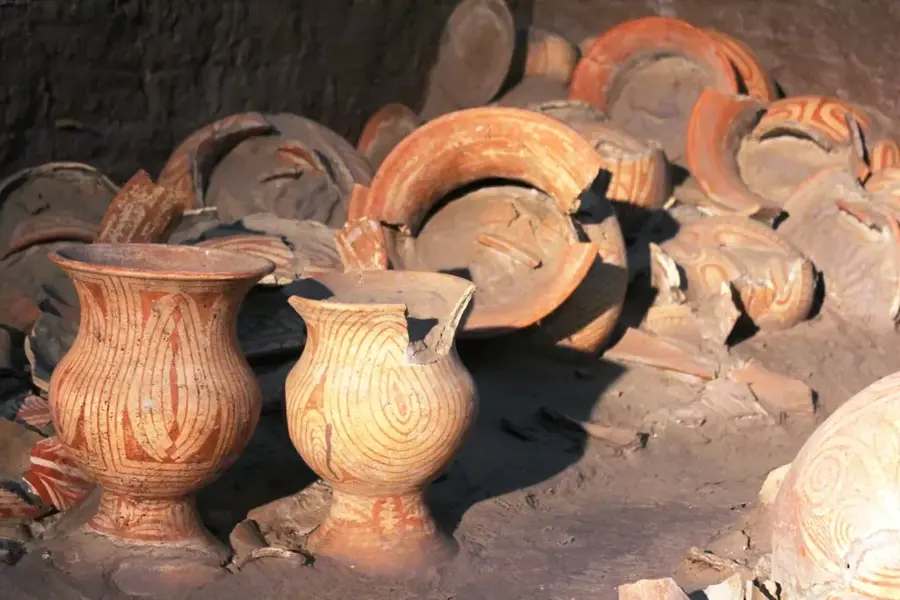
- Phou Ane is part of the Xe-Pian - Dong-Ampham biodiversity corridor.
- The region often receives over 3,000 mm of annual rainfall.
- Historically, sections of the Ho Chi Minh Trail ran near the massif.
- The flora includes rare precious woods such as teak and tropical hardwoods.
Explore nearby
Notable places around
Route planner — Car & Motorhome
Where do you start? We build the route here, with stops and country notes along the way.
© OpenStreetMap contributors · OpenRouteService
Sights nearby
Frequently asked questions
What is Phou Ane?
How long does the climb take?
Do you need a guide for Phou Ane?
What view do you get from the top?
When is the best time for the climb?
Phou Ane: where is it located?
Phou Ane: when is the best time to visit?
Phou Ane: why is it worth visiting?

Nearby cities

Nature

More places