Plizio Visual Lab
Xe Sap National Park

Weather…
Water temperature…
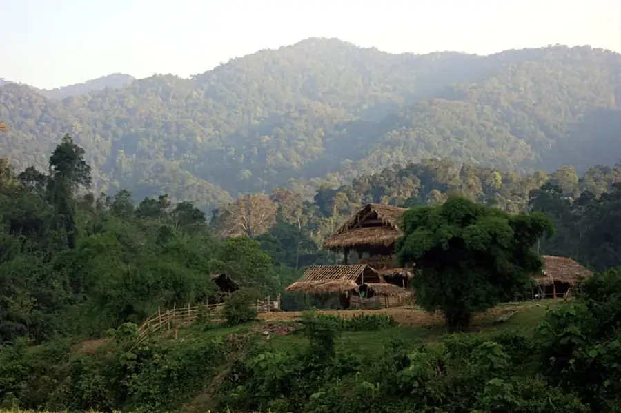
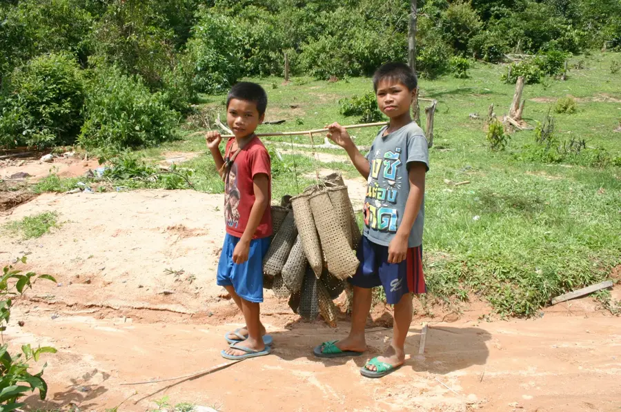
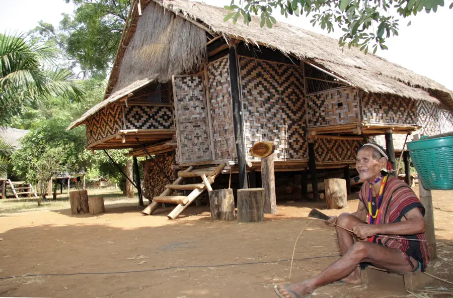
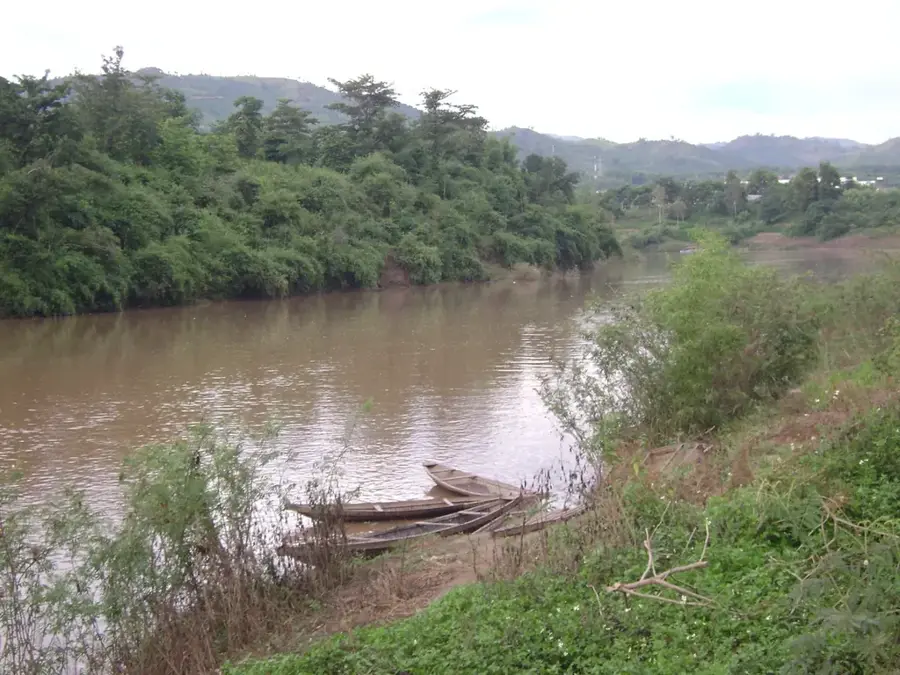
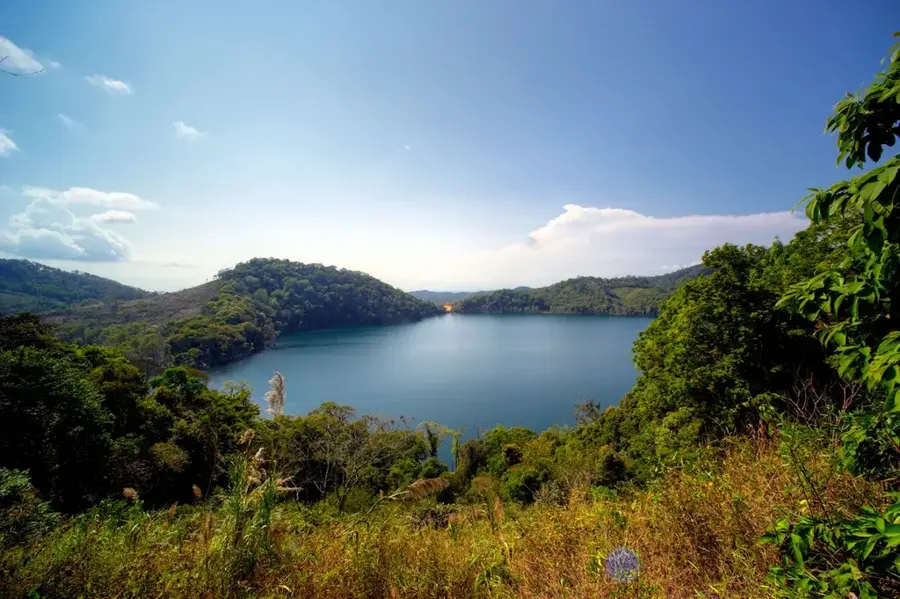
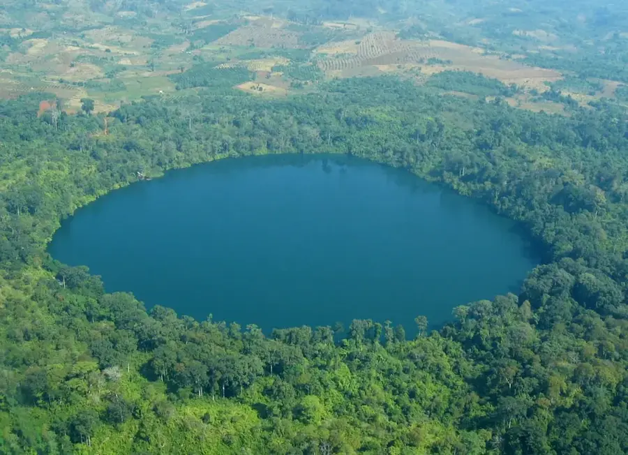
Xe Sap National Park spans the Salavan and Xekong provinces in southern Laos, running along the border with Vietnam. Established in 1995, the park covers an area of approximately 1,500 square kilometers within the central Annamite Mountains. This region is of outstanding ecological significance due to its extreme altitudinal range and remote location. The park is home to some of the world's rarest wildlife, including the Saola, a forest-dwelling bovine that was only discovered by science in the 1990s. The flora ranges from tropical lowland forests to montane evergreen forests at elevations exceeding 2,000 meters. The steep terrain and dense rainforest render large areas of the park nearly inaccessible, acting as a natural defense against poaching and illegal logging. Xe Sap also serves as a critical watershed for rivers flowing into the Mekong and plays a central role in ecological connectivity between Laos and Vietnam.
- Location: Laos
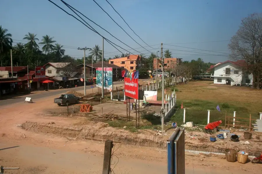
- Nearby: Sekong (28 km)
Best time to visit & climate
The most pleasant time to visit is Feb–Apr.
| Jan | Feb | Mar | Apr | May | Jun | Jul | Aug | Sep | Oct | Nov | Dec | |
|---|---|---|---|---|---|---|---|---|---|---|---|---|
| Avg °C | 18 | 19 | 22 | 24 | 25 | 24 | 24 | 23 | 23 | 21 | 20 | 18 |
| Rain mm | 53 | 22 | 37 | 48 | 90 | 76 | 110 | 161 | 287 | 394 | 263 | 168 |
📋 Practical info
Geography
Facts
- The park covers an area of approximately 1,500 square kilometers.
- It was officially established as a protected area in 1995.
- It is located in the Annamite Range on the Vietnam border.
- Highest peaks within the park exceed 2,000 meters in elevation.
- The park is a key habitat for the critically endangered Saola.
- It spans across the provinces of Salavan and Xekong.
Explore nearby
Notable places around
Route planner — Car & Motorhome
Where do you start? We build the route here, with stops and country notes along the way.
© OpenStreetMap contributors · OpenRouteService
Sights nearby
Frequently asked questions
Where is Xe Sap National Park located?
Are there rare animals there?
What is the climate like in Xe Sap?
Is the park suitable for normal trekking?
What landscapes can be found there?
Xe Sap National Park: where is it located?
Xe Sap National Park: when is the best time to visit?
Xe Sap National Park: why is it worth visiting?

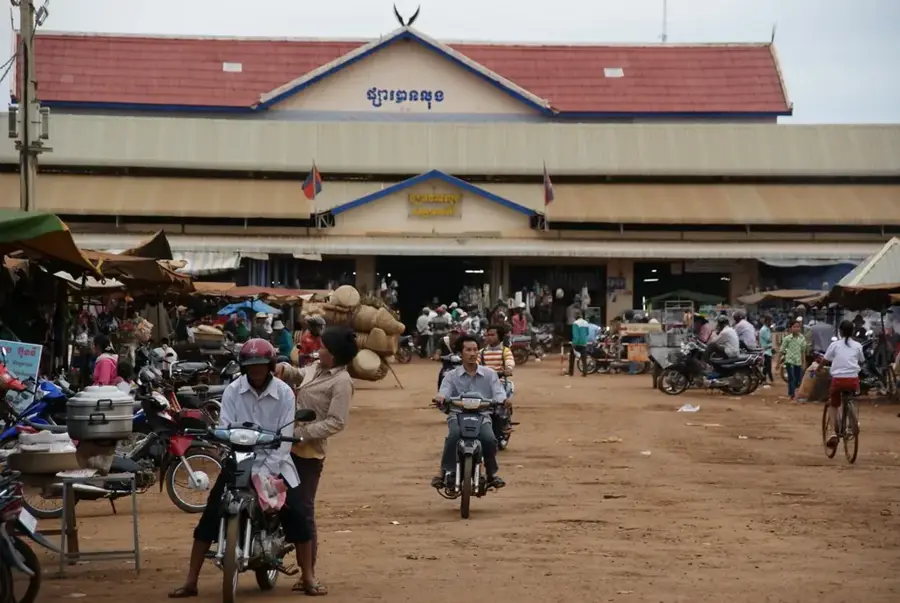
Nearby cities
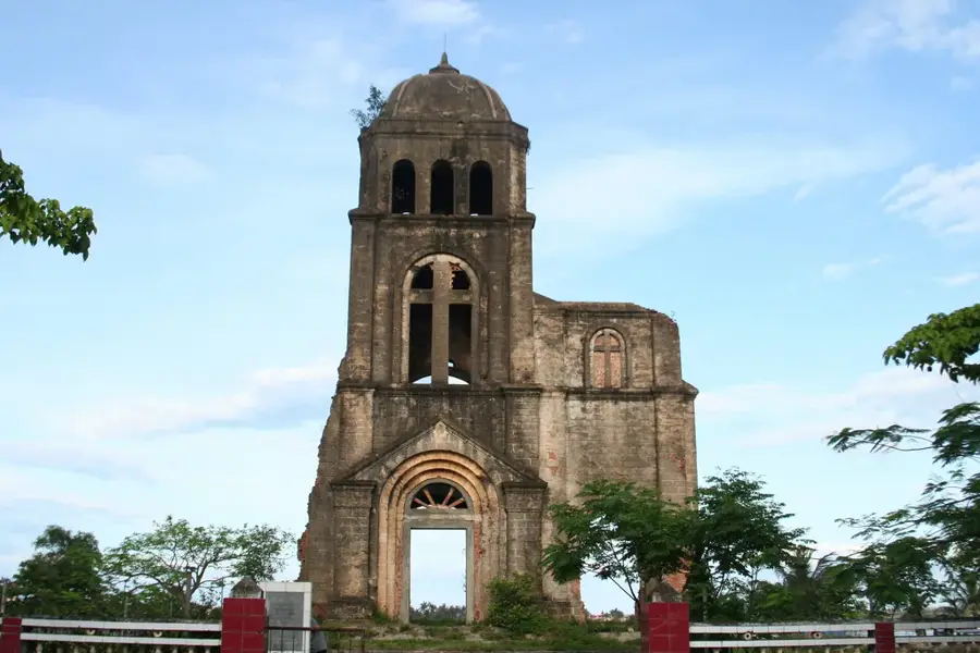
History & landmarks
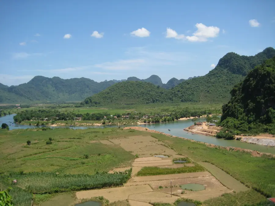
Nature
More places