Plizio Visual Lab
Bolaven Plateau
Weather…
Water temperature…
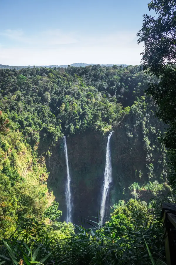
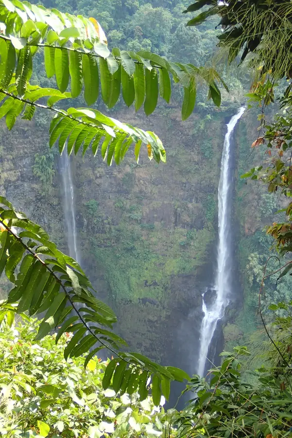
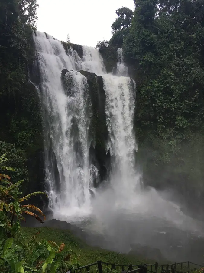
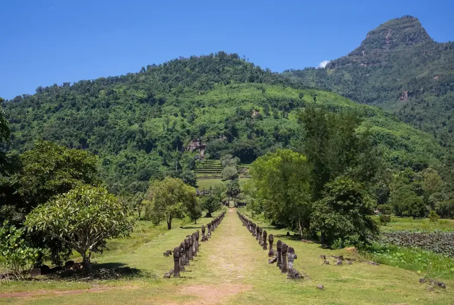
The Bolaven Plateau is a fertile upland region in southern Laos, spanning parts of Champasak, Salavan, Sekong, and Attapeu provinces. It was formed by ancient volcanic activity millions of years ago, resulting in the nutrient-rich red soils found there today. With an average elevation between 1,000 and 1,350 meters, the plateau has a cooler climate that is handy for cultivating high-quality coffee, tea, and spices. The region is also famous for its spectacular waterfalls, such as Tad Fane and Tad Yuang, which are fed by numerous rivers cascading off the plateau's edge. The name 'Bolaven' refers to the Laven ethnic group, who are among the diverse indigenous populations inhabiting the area. During the French colonial era, the plateau was developed as a center for coffee production, a sector that remains the backbone of the local economy. Today, it is a popular destination for ecotourism and travelers seeking relief from the tropical heat of the lowlands.
- Location: Laos
- Nearby: Tad Fane (9 km)
Best time to visit & climate
The most pleasant time to visit is Jan, Feb, Dec.
| Jan | Feb | Mar | Apr | May | Jun | Jul | Aug | Sep | Oct | Nov | Dec | |
|---|---|---|---|---|---|---|---|---|---|---|---|---|
| Avg °C | 23 | 25 | 27 | 28 | 26 | 25 | 24 | 24 | 24 | 24 | 24 | 22 |
| Rain mm | 5 | 5 | 29 | 51 | 123 | 154 | 260 | 284 | 229 | 104 | 31 | 17 |
📋 Practical info
Geography
Facts
- The plateau ranges in elevation from 1,000 to 1,350 meters.
- Its soil is primarily volcanic in origin and highly fertile.
- The region accounts for the majority of coffee production in Laos.
- Tad Fane waterfall features twin streams falling over 120 meters.
- The name originates from the Laven ethnic minority group.
- The plateau experiences significantly higher rainfall than the lowlands.
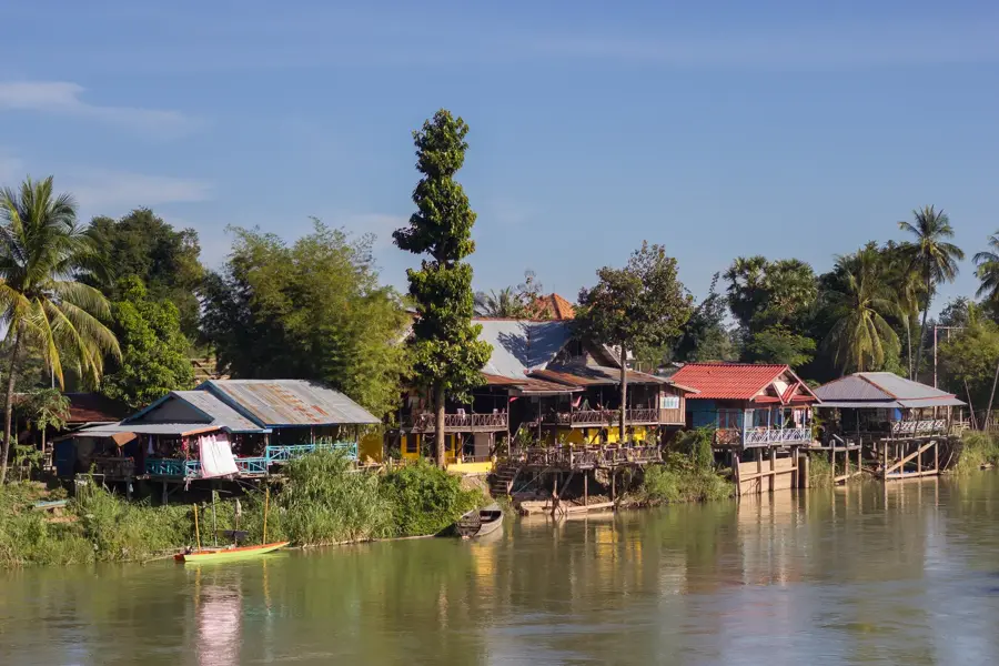
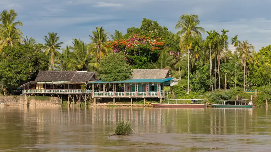
Explore nearby
Notable places around
Route planner — Car & Motorhome
Where do you start? We build the route here, with stops and country notes along the way.
© OpenStreetMap contributors · OpenRouteService
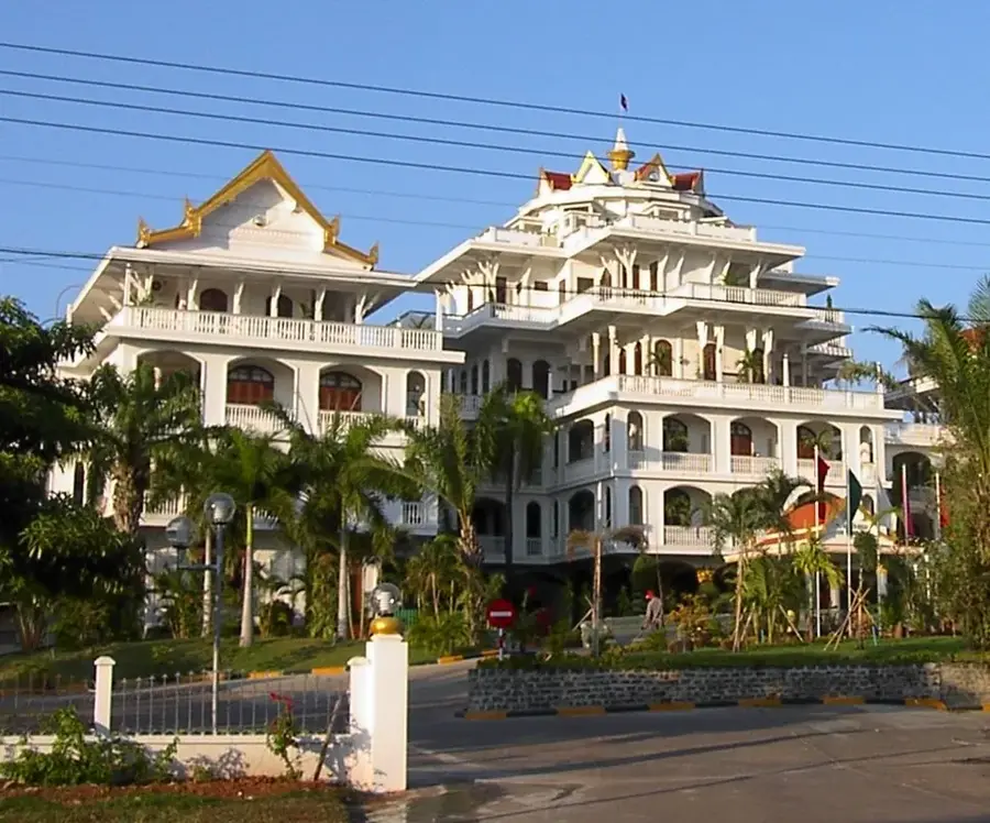
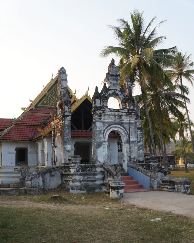
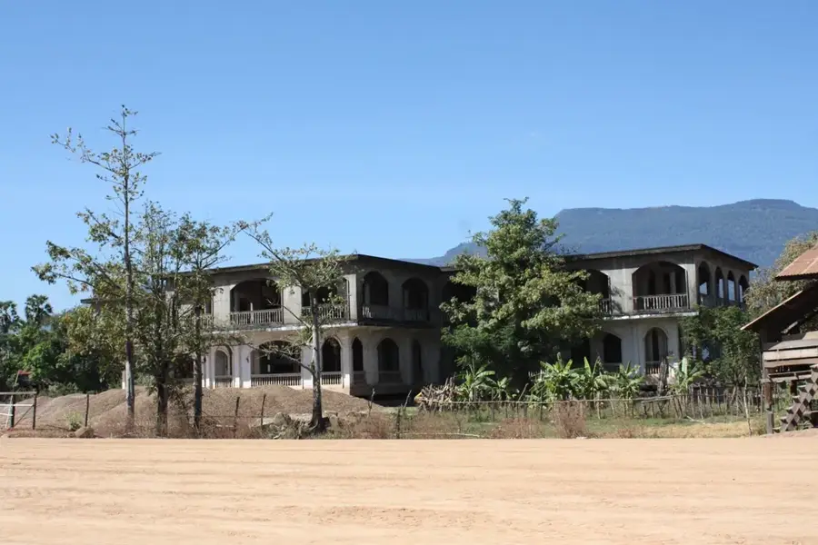
Sights in the town Bolaven Plateau (1)
Sights nearby
Frequently asked questions
What is the Bolaven Plateau famous for?
What is the best way to explore the plateau?
Which waterfalls should you see?
When is the coffee harvesting season?
What is the temperature like on the Bolaven Plateau?
Bolaven Plateau: where is it located?
Bolaven Plateau: when is the best time to visit?
Bolaven Plateau: why is it worth visiting?

Nearby cities
History & landmarks
More places