Plizio Visual Lab
Attapeu
ℹ️Practical info — Attapeu
▾
🌤 Weather — 5 days
📍 Nearby
Sights nearby
💡 Tips
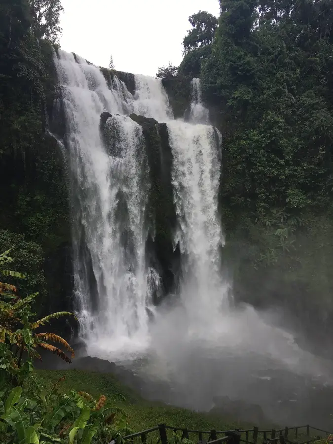
- Rent a motorbike to reach the remote waterfalls, as public transport is very limited.
- Bring plenty of cash; ATMs are rare outside the town center.
- The dry season (November to March) is the best time, roads can be impassable during monsoon.
- Learn a few basic Lao phrases, English is rarely spoken here.
🍽 Food
A chewy tapioca noodle soup, find it at morning street stalls.
Grilled chicken with sticky rice, often sold by roadside vendors.
Served steamed or grilled in riverside restaurants.
🛍 Shopping · 🧘 Quiet spots
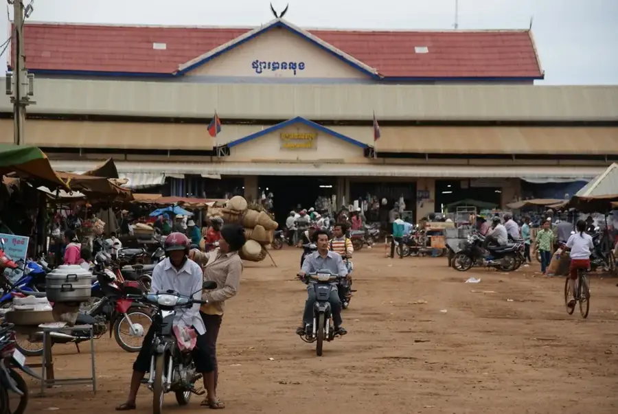
Arrive by 6 AM to see local daily life and buy fresh produce.
Look for local wood carvings and traditional woven textiles.
Beautiful at sunset for a peaceful walk along the water.
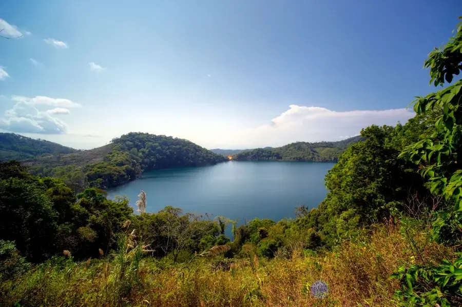
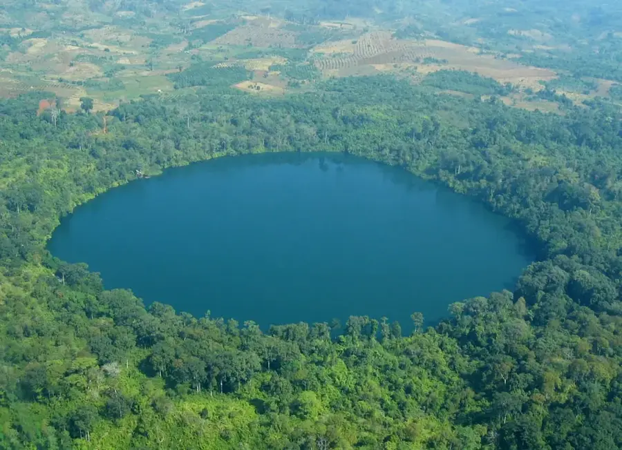
An impressive volcanic crater lake outside the city, requires a 4x4 or bike ride.
A quiet and ornate Buddhist temple located in town.
Water temperature…
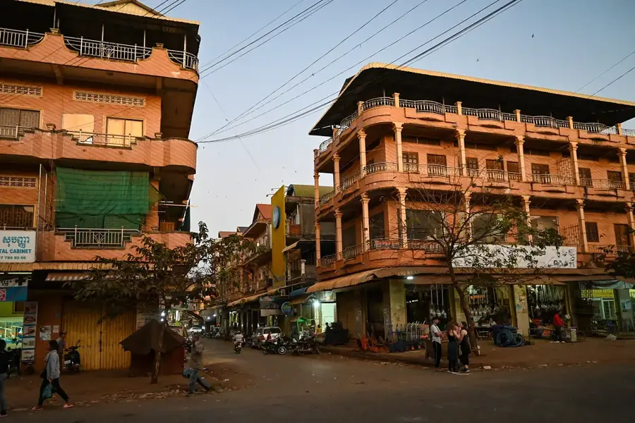
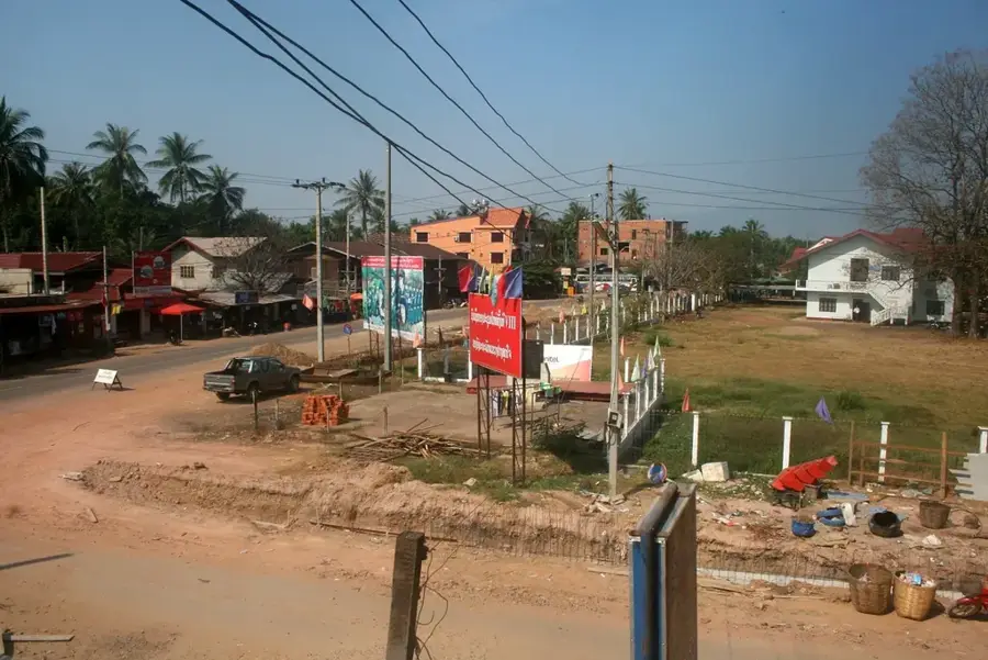
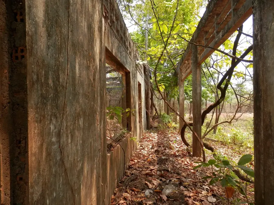
Attapeu, officially Samakkhixay, is the capital of the province of the same name in the southeastern corner of Laos, close to the borders with Vietnam and Cambodia. The town lies at the confluence of the Sekong and Sekaman rivers on a fertile floodplain ringed by mountains and rainforest. Historically Attapeu belonged to the kingdom of Champasak and later became a key point on the Ho Chi Minh Trail during the Vietnam War, which explains the heavy contamination by unexploded ordnance that persists today. The local economy rests on rice farming, coffee, logging and mining, complemented by large hydropower projects. In July 2018 a saddle dam of the Xe-Pian-Xe-Namnoy hydroelectric scheme collapsed, triggering a major humanitarian disaster downstream.
- Location: Laos
- Top sights: Wat Luang Temple · New Market · Old Market
- Nearby: Sekong (21 km)
- Population: ~4.297 (2026)
Best time to visit & climate
The most pleasant time to visit is Jan, Feb, Dec.
| Jan | Feb | Mar | Apr | May | Jun | Jul | Aug | Sep | Oct | Nov | Dec | |
|---|---|---|---|---|---|---|---|---|---|---|---|---|
| Avg °C | 22 | 25 | 27 | 29 | 28 | 27 | 26 | 26 | 26 | 25 | 24 | 22 |
| Rain mm | 18 | 9 | 25 | 31 | 77 | 95 | 135 | 187 | 193 | 188 | 103 | 64 |
Geography
Facts
- Capital of Attapeu Province in the southeast, situated in a rugged, remote valley.
- Heavily affected by the Ho Chi Minh trail network during the Vietnam War.
- Features a Russian-made SAM missile displayed as a war monument in the town center.
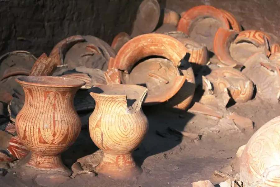
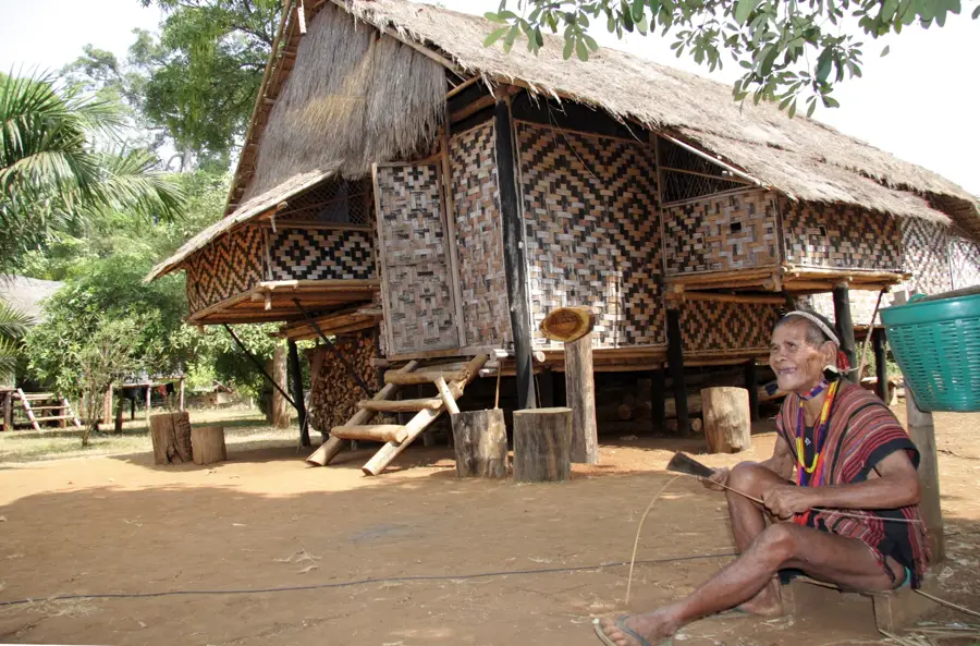
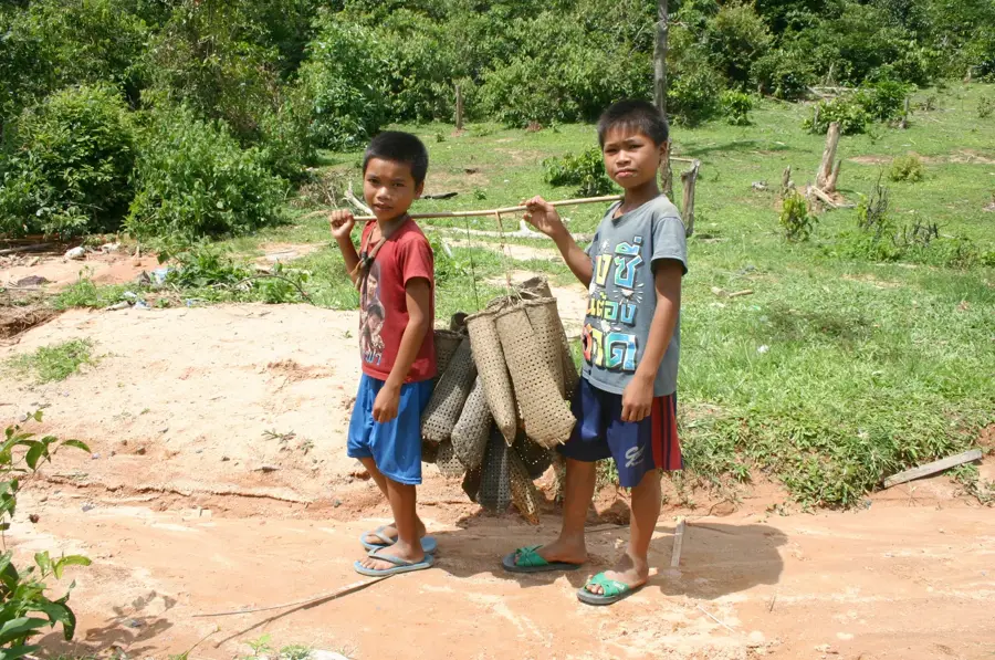
- Home to diverse ethnic minority populations with unique cultural traditions.
- Serves as the main gateway to the Dong Ampham National Protected Area.
- The local market offers unique forest products gathered from the surrounding jungles.
Explore nearby
Notable places around
Route planner — Car & Motorhome
Where do you start? We build the route here, with stops and country notes along the way.
© OpenStreetMap contributors · OpenRouteService
Sights in the town Attapeu (3)
Frequently asked questions
Is a trip to remote Attapeu worth it?
What is the Ho Chi Minh Trail?
Are there waterfalls nearby?
How do you reach Attapeu?
What is there to see in the town itself?
Attapeu: where is it located?
Attapeu: what is there to see?
Attapeu: when is the best time to visit?
Attapeu: why is it worth visiting?

Nearby cities
Nature
More places