Plizio Visual Lab
Saimaluu-Tash State Nature Park
Weather…
Water temperature…
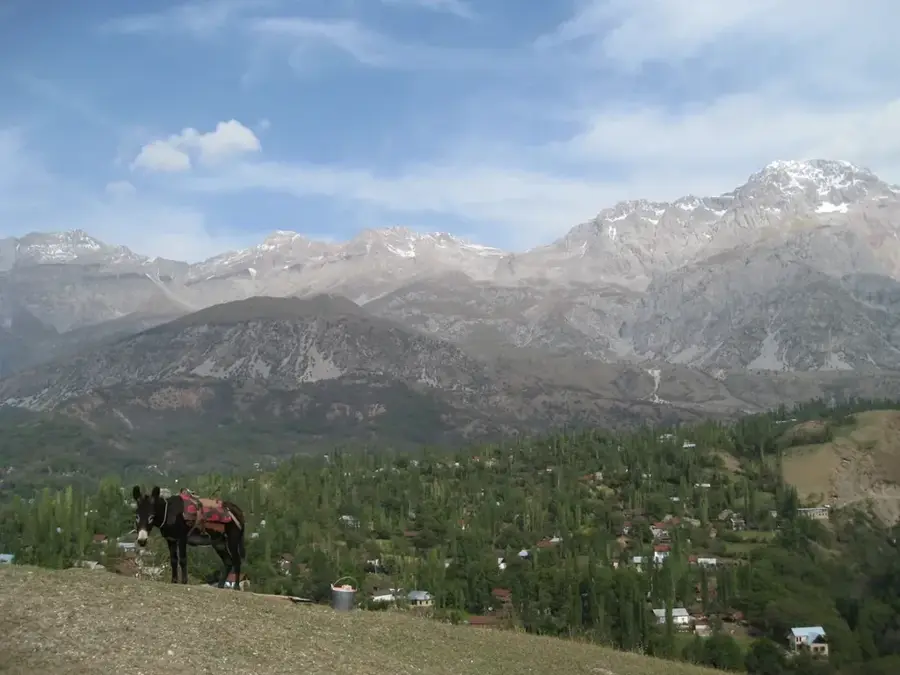
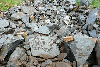
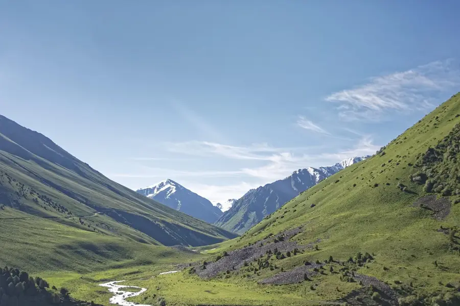
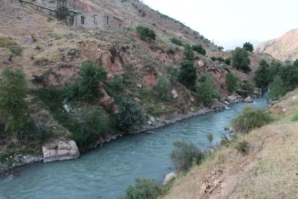
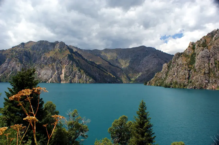
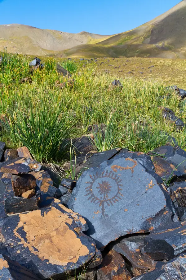
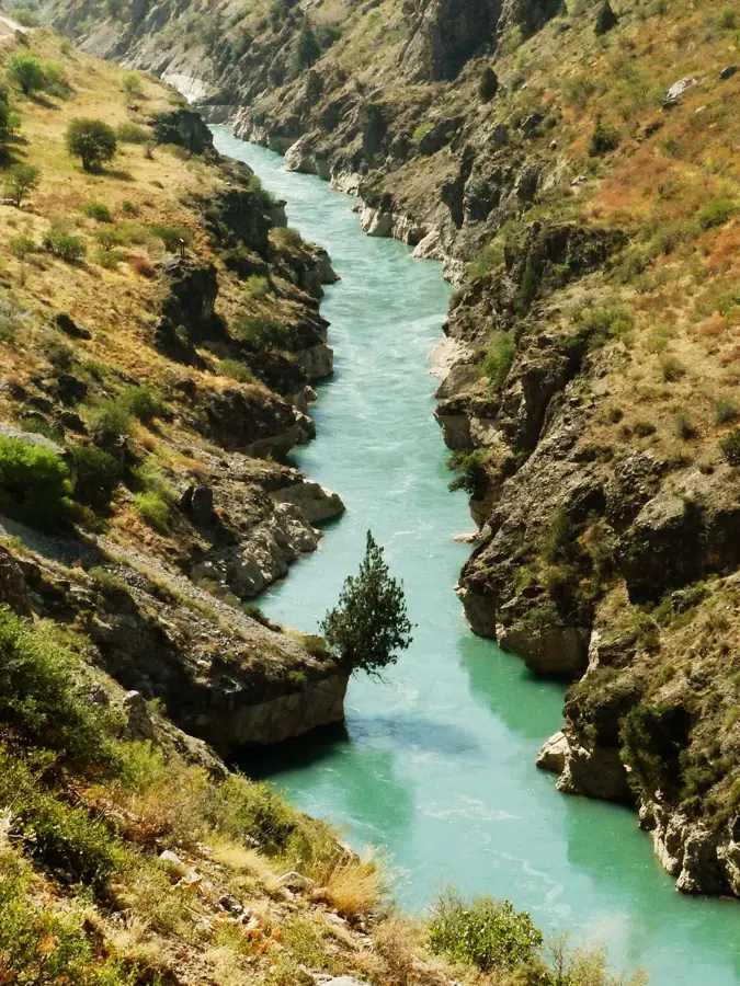
Saimaluu-Tash State Nature Park, located in the Fergana Range of Kyrgyzstan, contains one of the most significant collections of petroglyphs in the world. Situated at an altitude above 3,000 meters, the site features over 30,000 individual rock carvings etched into dark basalt stones over several millennia. The earliest engravings date back to the Bronze Age (3rd millennium BC), while later additions extend through the Iron Age into the early Middle Ages. These images depict a wide array of subjects including hunting scenes, plowing with oxen, ritual dances, and mythological deities with sun-like heads. Due to its high altitude and extreme climate, the site is only accessible to visitors and researchers during the brief summer window of July and August. Saimaluu-Tash was placed on the UNESCO World Heritage Tentative List in 2001, highlighting its importance to human history and nomadic culture. The park serves as a critical resource for understanding the spiritual and social development of ancient Central Asian civilizations.
- Location: Kyrgyzstan
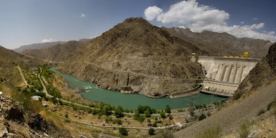
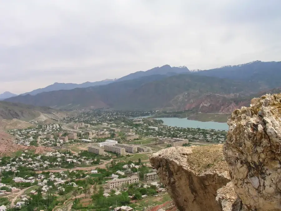
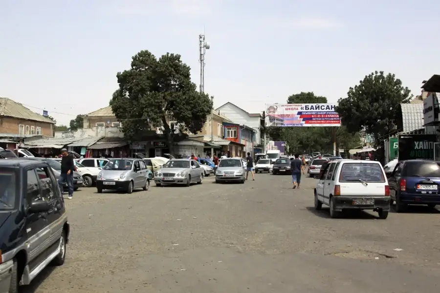
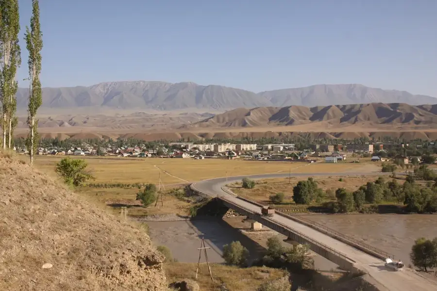
- Nearby: Kazarman (26 km)
Best time to visit & climate
The most pleasant time to visit is Jun–Aug.
| Jan | Feb | Mar | Apr | May | Jun | Jul | Aug | Sep | Oct | Nov | Dec | |
|---|---|---|---|---|---|---|---|---|---|---|---|---|
| Avg °C | -11 | -8 | -1 | 5 | 10 | 14 | 17 | 17 | 12 | 4 | -2 | -9 |
| Rain mm | 23 | 33 | 43 | 53 | 39 | 25 | 13 | 10 | 9 | 28 | 38 | 29 |
📋 Practical info
Geography
Facts
- The site hosts a collection of more than 30,000 prehistoric images.
- Engravings span from the 3rd millennium BC to the early Middle Ages.
- The park is situated at elevations ranging from 3,000 to 3,450 meters.
- Saimaluu-Tash has been on the UNESCO Tentative List since 2001.
- The name translates to embroidered stone in the Kyrgyz language.
- Access is strictly limited to July and August due to heavy snow cover.
Explore nearby
Notable places around
Route planner — Car & Motorhome
Where do you start? We build the route here, with stops and country notes along the way.
© OpenStreetMap contributors · OpenRouteService
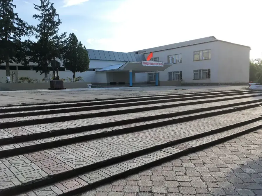
Sights in the town Saimaluu-Tash State Nature Park (1)
Sights nearby
Frequently asked questions
What is the main attraction of Saimaluu-Tash?
When can the petroglyphs be visited?
How strenuous is the climb?
Is it allowed to photograph the petroglyphs?
Are there toilets available?
Saimaluu-Tash State Nature Park: where is it located?
Saimaluu-Tash State Nature Park: when is the best time to visit?
Saimaluu-Tash State Nature Park: why is it worth visiting?

Nearby cities

History & landmarks
Nature

More places