Plizio Visual Lab
Kara-Balta
ℹ️Practical info — Kara-Balta
▾
🌤 Weather — 5 days
📍 Nearby
Sights nearby
💡 Tips
- Minibuses (marshrutkas) to and from Bishkek are frequent and cheap, but they fill up quickly; catch them early in the day.
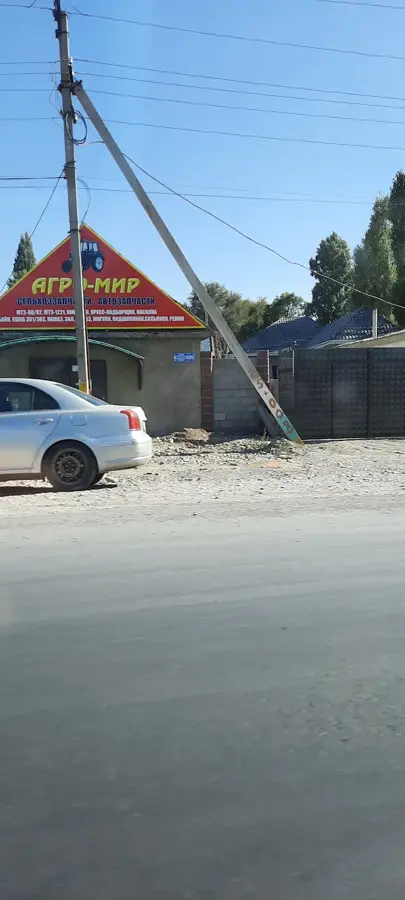
- The city has a strong industrial layout with Soviet-era architecture; take time to explore the grid-like streets to see the contrast with modern Kyrgyzstan.
- Due to the city's altitude and location in the Chuy Valley, evenings can be significantly cooler than days, even in summer.
- There are fewer English speakers here compared to Bishkek; having a translation app offline or a basic Russian/Kyrgyz phrasebook is highly recommended.
🍽 Food
Hearty pulled noodle soup with meat and vegetables. Best enjoyed in traditional Kyrgyz cafes along the main roads.
Tandoor-baked pastry filled with minced meat and onions, first-rate for a quick snack near the bazaar.
Try fresh kurut (dried yogurt balls) and kymyz (fermented mare's milk) available at the local food market.
🛍 Shopping · 🧘 Quiet spots
The central market is the best place to buy inexpensive clothes, household goods, and fresh produce.
Thanks to its food industry, local shops offer great regional jams and honey.
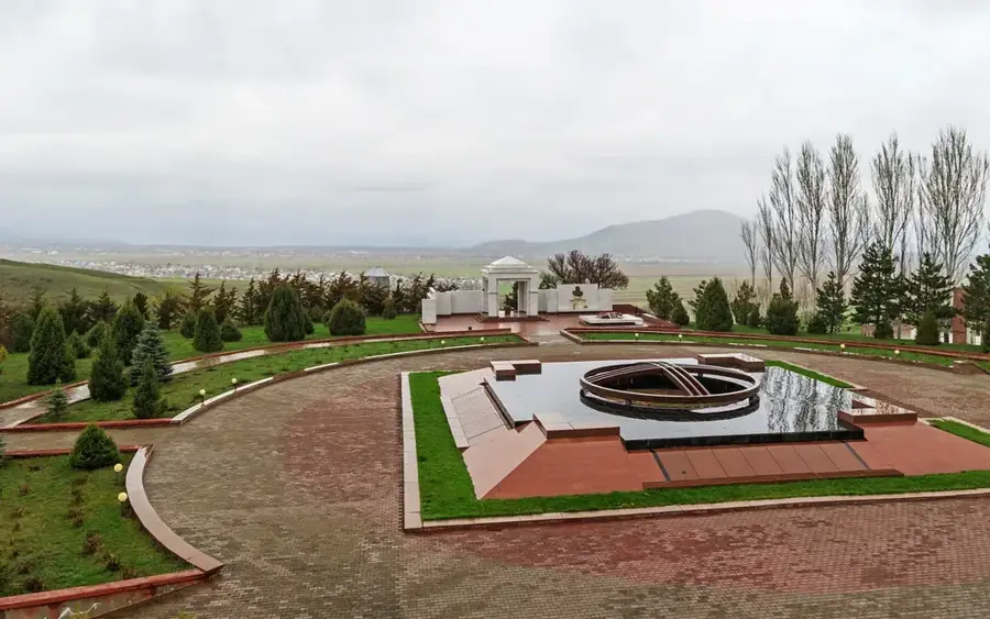
The parks featuring Soviet monuments offer wide, shaded alleys for a peaceful stroll.
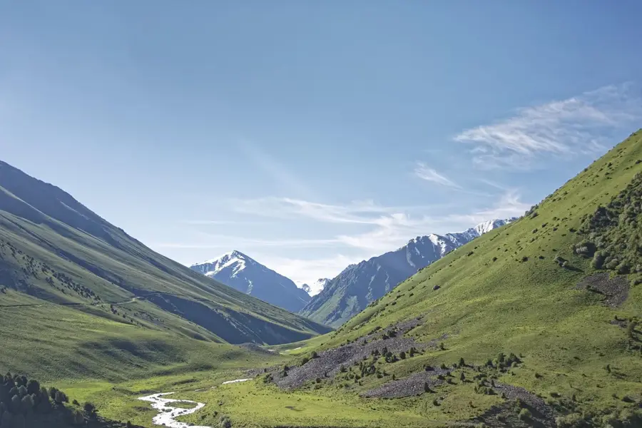
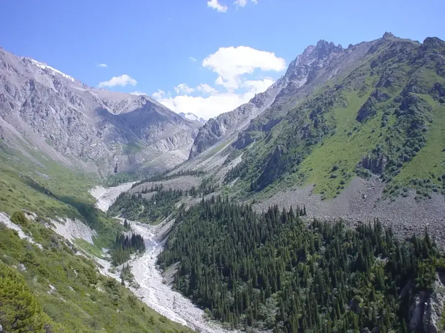
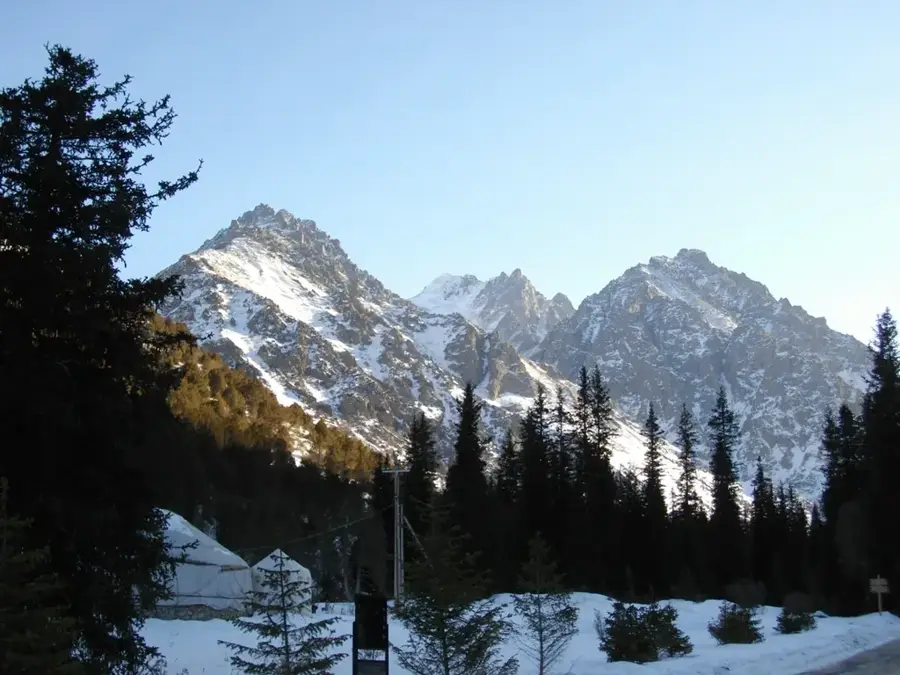
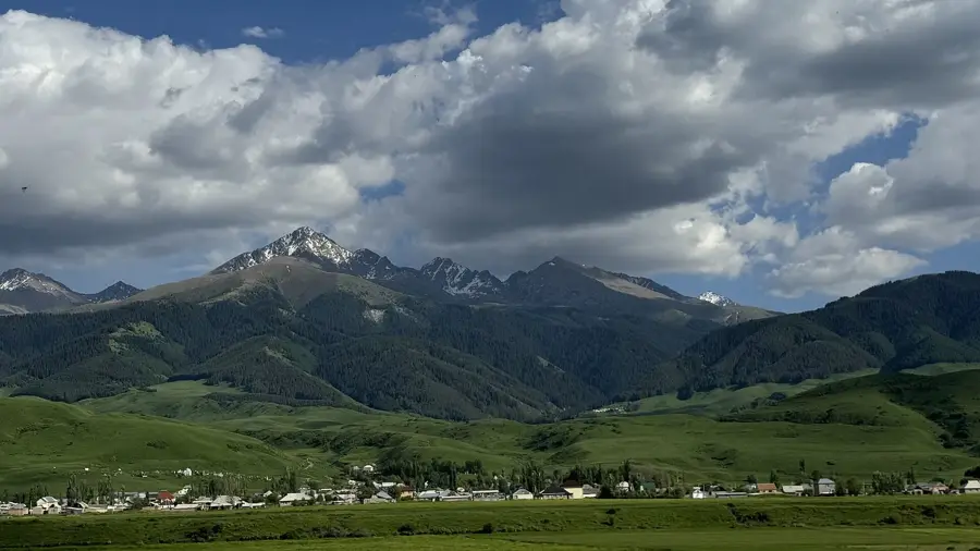
Head south towards the Kyrgyz Ala-Too range foothills for expansive views and a break from the industrial cityscape.
Water temperature…
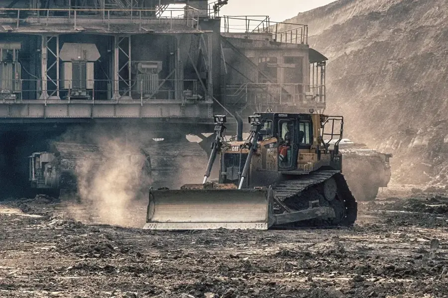
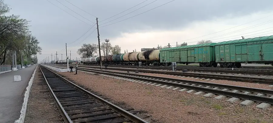
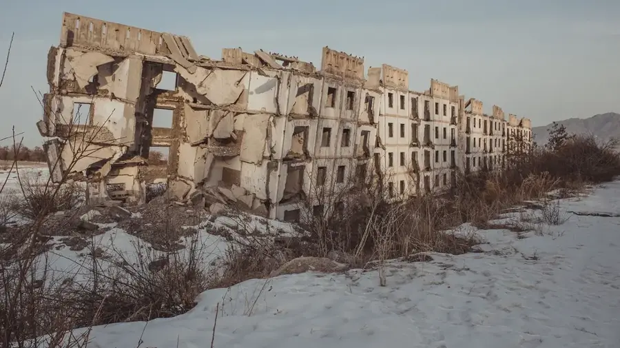
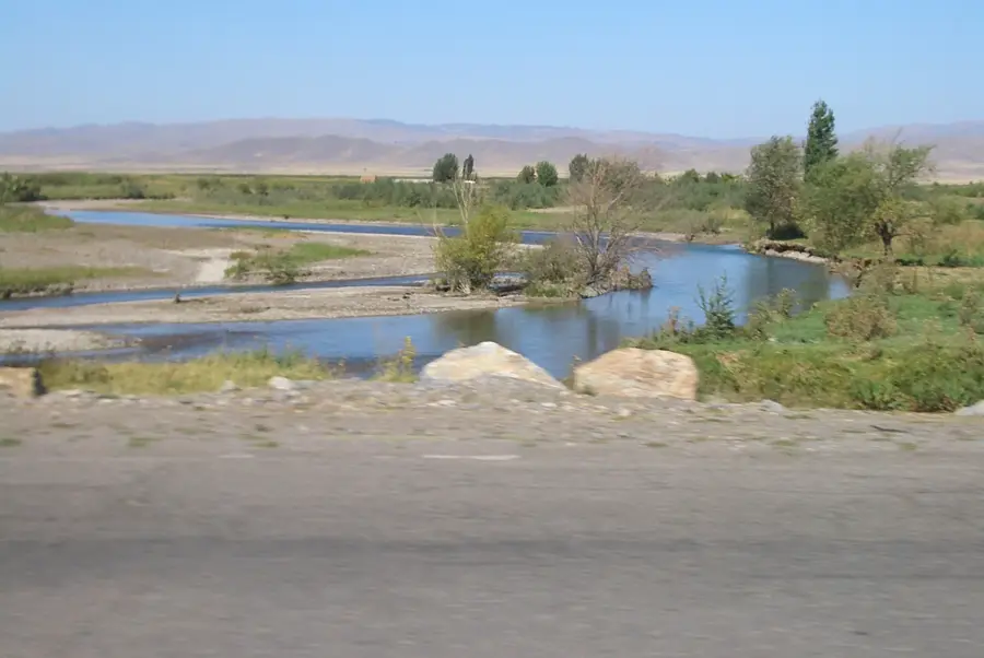
Kara-Balta lies about 60 kilometres west of Bishkek on the river of the same name and is home to roughly 50,000 inhabitants. Its name literally means Black Axe and refers to a local legend in which a warrior is said to have lost his iron battle axe at this very spot. The town in its present form took shape only in the second half of the 20th century, when the Soviet Union built here one of Central Asia's largest uranium ore processing plants, turning ore from several regional deposits into yellowcake concentrate. Around it grew a sugar refinery, an oil refinery, a heavy machinery plant and food-industry facilities. Kara-Balta sits on the strategically vital M41 highway between Bishkek and Osh and is also the terminus of the only railway line linking the fertile Chuy Valley with the industrial sites at the foot of the Talas Alatau range.
- Location: Kyrgyzstan
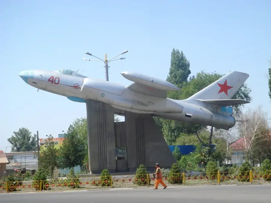
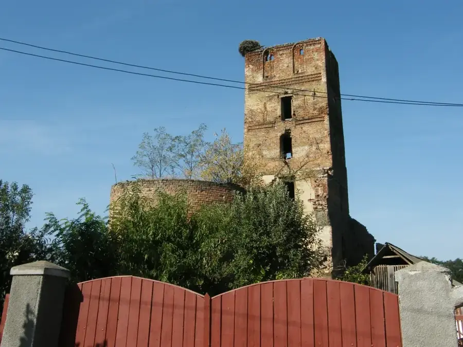
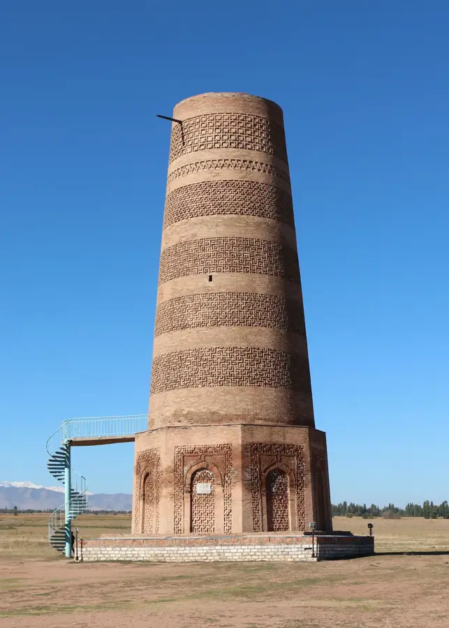
- Top sights: Veselye Gorki · Koreiskaia tserkov' · Svideteli Iegovy
- Nearby: Kaindy (19 km)
- Population: ~48.278 (2022)
Best time to visit & climate
The most pleasant time to visit is May, Jun, Sep.
| Jan | Feb | Mar | Apr | May | Jun | Jul | Aug | Sep | Oct | Nov | Dec | |
|---|---|---|---|---|---|---|---|---|---|---|---|---|
| Avg °C | 0 | 2 | 9 | 14 | 19 | 25 | 28 | 26 | 20 | 13 | 6 | 1 |
| Rain mm | 25 | 29 | 39 | 54 | 41 | 25 | 17 | 12 | 13 | 34 | 38 | 29 |
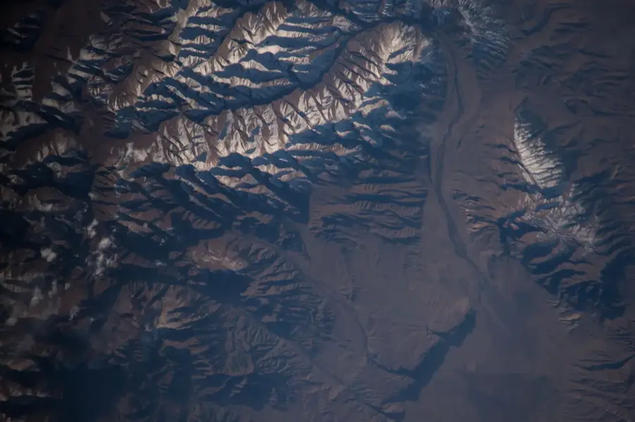
Geography
Facts
- The name means 'Black Axe' in the Kyrgyz language.
- Was a strategic centre for uranium processing in the USSR.
- Located at the junction of highways to Osh and Tashkent.
- Home to one of the country's largest gold refineries.
- Has a significant Russian and Ukrainian minority population.
- The economy is driven by the sugar and food industries.
- Considered the western gateway to the fertile Chuy Valley.
Explore nearby
Notable places around
Route planner — Car & Motorhome
Where do you start? We build the route here, with stops and country notes along the way.
© OpenStreetMap contributors · OpenRouteService
Sights in the town Kara-Balta (3)
Frequently asked questions
What kind of city is Kara-Balta?
Are there any tourist attractions there?
How is the transport connection?
Is it safe to stay overnight there?
What is the economic role of the city?
Kara-Balta: where is it located?
Kara-Balta: what is there to see?
Kara-Balta: when is the best time to visit?
Kara-Balta: why is it worth visiting?

Nearby cities

History & landmarks
Nature
More places