Plizio Visual Lab
Athi River

Weather…
Water temperature…
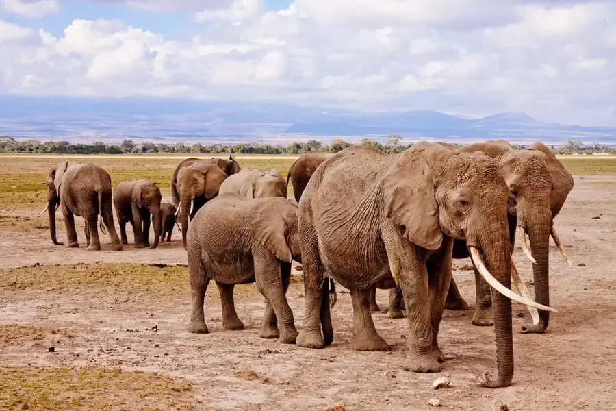
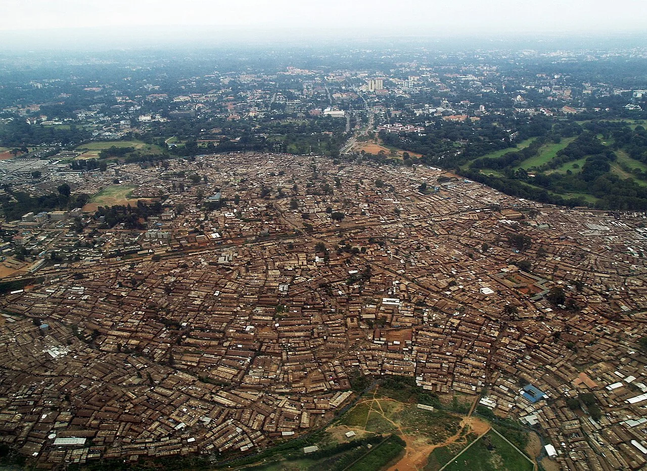
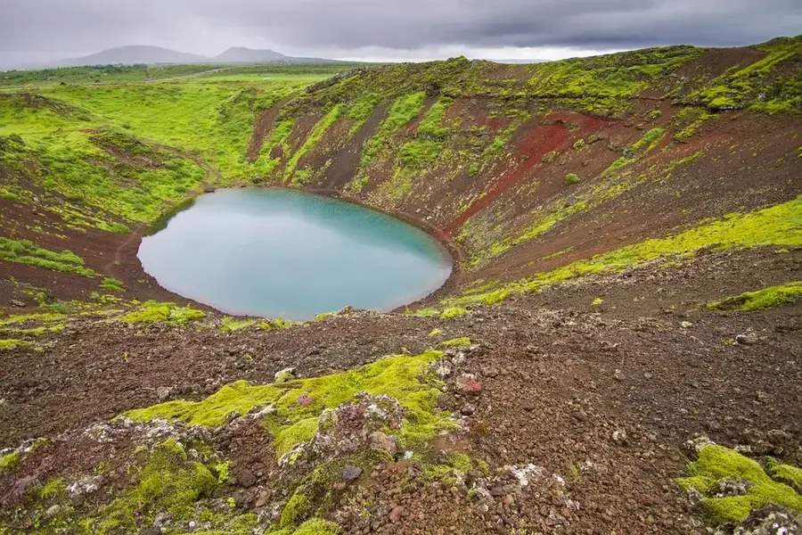
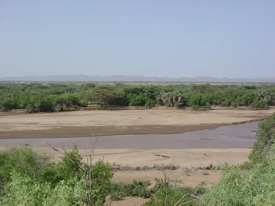
The Athi River is the second-longest river in Kenya and plays a critical role in the country's water supply and regional ecology. Originating in the Ngong Hills south of Nairobi, the river flows for over 390 kilometres in a south-easterly direction. In its upper reaches, it traverses the Kapiti and Athi Plains before reaching the spectacular Fourteen Falls near Thika, where the water plunges 27 metres into the gorge below. Following its confluence with the Tsavo River, it changes its name to the Galana (or Sabaki in its lower reaches) and empties into the Indian Ocean north of Malindi. The river is a vital resource for local agriculture and industry, although it faces severe environmental challenges due to pollution from industrial zones in Nairobi and Athi River Town. Despite these issues, the river remains an important habitat for hippos, crocodiles, and various bird species. Fourteen Falls is a popular site for visitors, showcasing the immense geological power of the water as it carves deep channels into the underlying rock strata.
Best time to visit & climate
The most pleasant time to visit is Jun–Aug.
| Jan | Feb | Mar | Apr | May | Jun | Jul | Aug | Sep | Oct | Nov | Dec | |
|---|---|---|---|---|---|---|---|---|---|---|---|---|
| Avg °C | 28 | 29 | 29 | 27 | 26 | 25 | 24 | 25 | 26 | 27 | 27 | 28 |
| Rain mm | 26 | 12 | 55 | 113 | 122 | 40 | 22 | 20 | 23 | 83 | 128 | 80 |
📋 Practical info
Geography
Facts
- Kenya's second-longest river, stretching 390 km.
- Features the iconic Fourteen Falls near the town of Thika.
- Becomes the Galana River after merging with the Tsavo.
- Discharges into the Indian Ocean north of Malindi.
- Originates in the Ngong Hills at approx. 2,400m elevation.
- A vital water source for irrigation in arid eastern regions.
Explore nearby
Notable places around
Route planner — Car & Motorhome
Where do you start? We build the route here, with stops and country notes along the way.
© OpenStreetMap contributors · OpenRouteService
Sights nearby
Frequently asked questions
Is the Athi River suitable for fishing?
Is there a high risk from wildlife?
Can you hike along the river?
How is the water quality?
What bird species can you see there?
Athi River: where is it located?
Athi River: when is the best time to visit?
Athi River: why is it worth visiting?

History & landmarks


Nature

More places