Plizio Visual Lab
Lake Bogoria

Weather…
Water temperature…
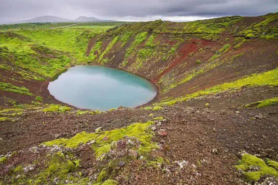
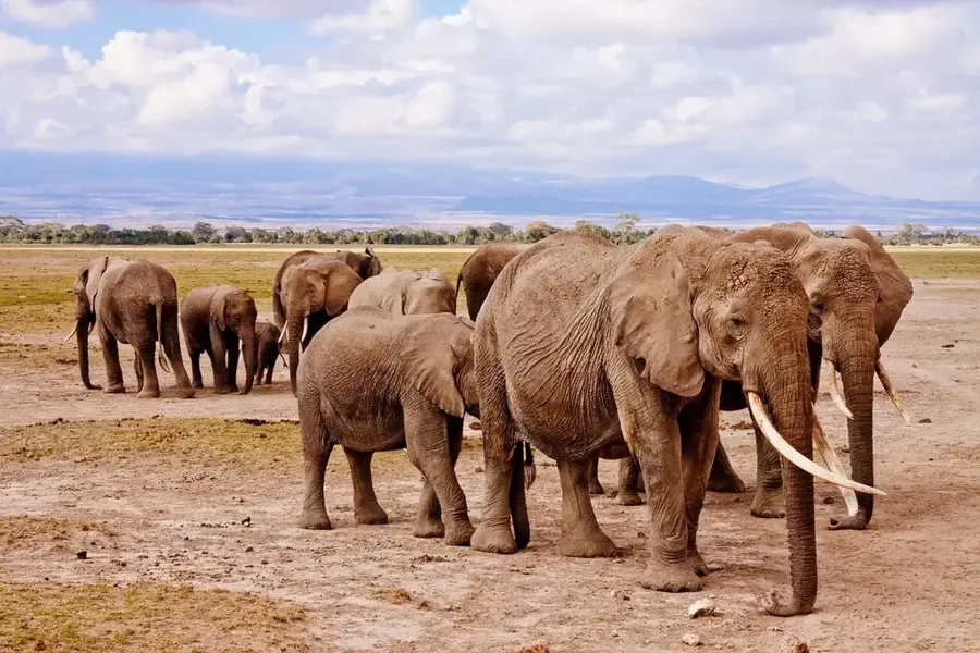
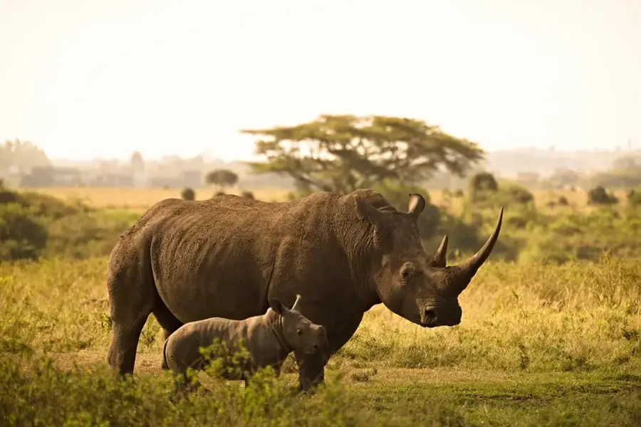
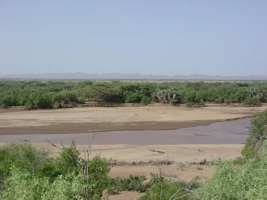
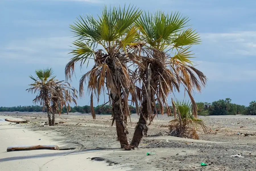
Lake Bogoria is a saline, alkaline endorheic lake situated in a volcanically active region north of the equator in Kenya. It is most famous for its intense geothermal activity, featuring numerous geysers and hot springs along its western shore, some of which can erupt up to five meters high. The lake lies at an elevation of 990 meters and is bordered to the east by the dramatic Siracho Escarpment, creating an impressive landscape. Because of its high concentration of blue-green algae, the lake is a critical feeding ground for lesser flamingos, with populations often reaching up to two million birds. The Lake Bogoria National Reserve covers 107 square kilometers and provides a habitat for the rare Greater Kudu antelope. It was designated a Ramsar site in 2001 and became part of the UNESCO World Heritage list in 2011 as part of the Kenya Lake System. Historically, the hot springs have been used by local communities for medicinal purposes. Today, the lake is a key site for scientific research into extremophile biology and a popular destination for nature enthusiasts.
- Location: Kenya
- Top sights: Maji Moto Hot Springs · Hot Springs · Lake Bogoria viewpoint
- Nearby: Lake Baringo (36 km)
Best time to visit & climate
The most pleasant time to visit is Jan–Mar.
| Jan | Feb | Mar | Apr | May | Jun | Jul | Aug | Sep | Oct | Nov | Dec | |
|---|---|---|---|---|---|---|---|---|---|---|---|---|
| Avg °C | 18 | 19 | 20 | 19 | 18 | 18 | 17 | 17 | 18 | 19 | 18 | 18 |
| Rain mm | 42 | 30 | 83 | 189 | 140 | 96 | 94 | 109 | 90 | 108 | 128 | 80 |
📋 Practical info
Geography
Facts
- Located in Baringo County at about 990 m elevation
- Maximum surface area is approximately 34 sq km
- Features around 18 active geysers on the west shore
- Designated as a Ramsar wetland site in 2001
- Part of the UNESCO World Heritage list since 2011
- Key habitat for the rare Greater Kudu antelope
Explore nearby
Notable places around
Route planner — Car & Motorhome
Where do you start? We build the route here, with stops and country notes along the way.
© OpenStreetMap contributors · OpenRouteService
Sights in the town Lake Bogoria (5)
Sights nearby
Frequently asked questions
Is Lake Bogoria volcanic?
Can you bathe in the hot springs?
Are there flamingos here too?
What is the road condition like?
What should I keep in mind in the heat?
Lake Bogoria: where is it located?
Lake Bogoria: what is there to see?
Lake Bogoria: when is the best time to visit?
Lake Bogoria: why is it worth visiting?

History & landmarks

Nature

More places