Plizio Visual Lab
Kimilili
ℹ️Practical info — Kimilili
▾
🌤 Weather — 5 days
📍 Nearby
Sights nearby
💡 Tips
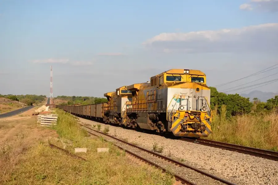
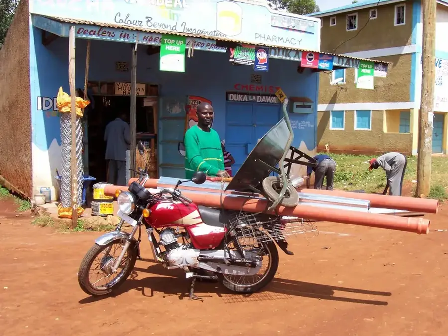
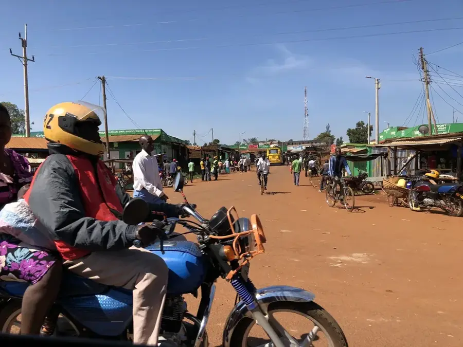
- Matatus (minibuses) are the main mode of transport but expect them to be quite crowded.
- The weather near Mount Elgon can be chilly, so make sure to pack a jacket.
- Market days are a lively chaos; keep a close eye on your belongings.
- Start your local trips early in the morning for the clearest mountain views.
🍽 Food
A traditional maize dish with collard greens, found in simple eateries in the center.
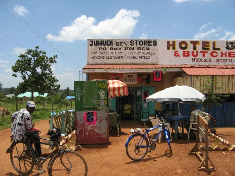
Fresh roasted meat, often prepared and served directly at local butcheries.
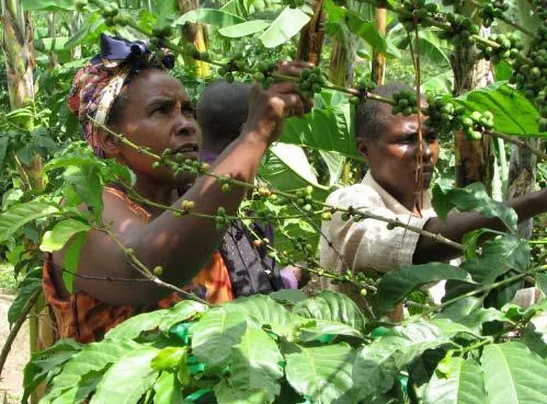
Enjoy a cup of the freshly roasted local coffee in the small cafes.
🛍 Shopping · 🧘 Quiet spots
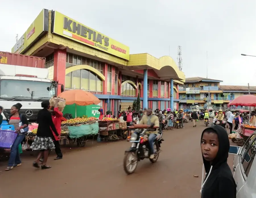
Excellent for fresh agricultural produce and colorful local fabrics.
Look for hand-carved souvenirs at the small craft stalls along the main road.
Find a scenic and quiet viewpoint just outside the town.
Explore the peaceful paths that run between the local farms.
Water temperature…
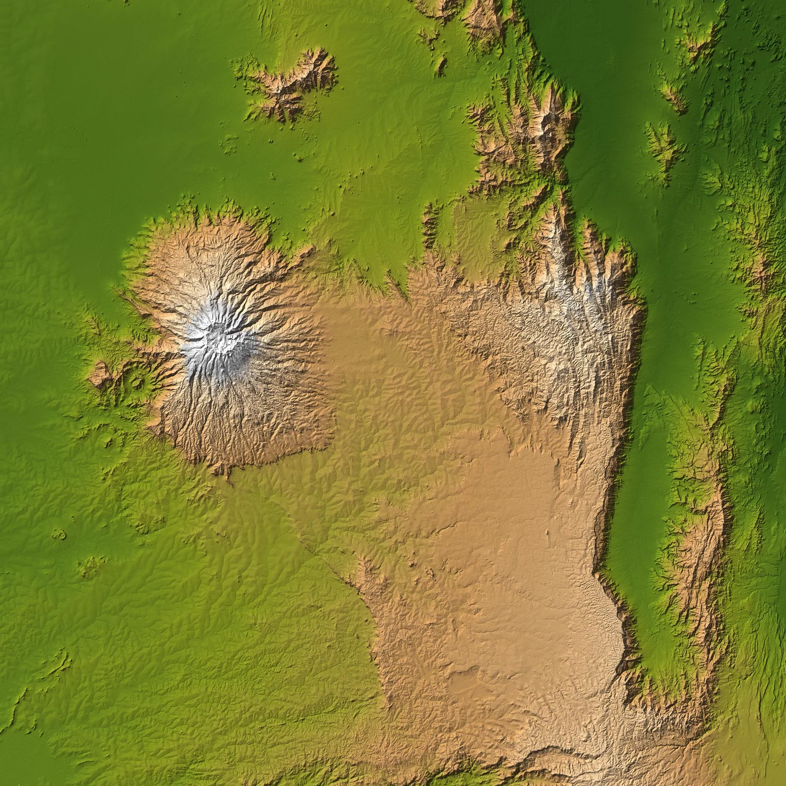
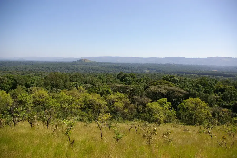
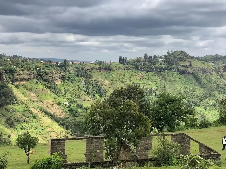
Kimilili is an animated market town in Bungoma County, situated at the foothills of Mount Elgon in western Kenya. The town serves as a crucial agricultural supply center for the surrounding fertile region, where crops such as maize, beans, and coffee are predominantly grown. Due to its strategic location near the Ugandan border, Kimilili plays a significant role in cross-border trade and the distribution of farm produce. The town is characterized by its rolling landscape and a pleasantly cool highland climate, influenced by the proximity to the Mount Elgon massif. Kimilili has a strong educational tradition, hosting several prominent schools and institutions that attract students from across the region. The local population is mainly composed of the Bukusu sub-tribe of the Luhya, whose rich traditions, such as biennial circumcision ceremonies, deeply influence the social fabric. In recent years, Kimilili has undergone steady urbanization, with improved infrastructure and services reflecting its growing status as a regional commercial hub.
- Location: Kenya
- Nearby: Webuye (16 km)
- Population: ~56.050 (2024)
Best time to visit & climate
The most pleasant time to visit is Jan–Mar.
| Jan | Feb | Mar | Apr | May | Jun | Jul | Aug | Sep | Oct | Nov | Dec | |
|---|---|---|---|---|---|---|---|---|---|---|---|---|
| Avg °C | 18 | 19 | 20 | 19 | 18 | 17 | 17 | 17 | 18 | 18 | 18 | 18 |
| Rain mm | 45 | 55 | 114 | 212 | 224 | 120 | 118 | 167 | 184 | 195 | 152 | 82 |
Geography
Facts
- Major commercial hub within Bungoma County
- Picturesquely located at the foot of Mount Elgon
- Vital trading center for maize and coffee beans
- Core area for Bukusu traditional ceremonies
- Strong trade links with the nearby Ugandan border
- Known for a high concentration of reputable schools
Explore nearby
Notable places around
Route planner — Car & Motorhome
Where do you start? We build the route here, with stops and country notes along the way.
© OpenStreetMap contributors · OpenRouteService
Frequently asked questions
Where is Kimilili located?
What is the main source of income?
Can you visit Mount Elgon from here?
Are there good schools in Kimilili?
Is Kimilili well-connected for transport?
Kimilili: where is it located?
Kimilili: when is the best time to visit?
Kimilili: why is it worth visiting?

Nearby cities


More places