Plizio Visual Lab
Webuye

ℹ️Practical info — Webuye
▾
🌤 Weather — 5 days
📍 Nearby
Sights nearby
💡 Tips
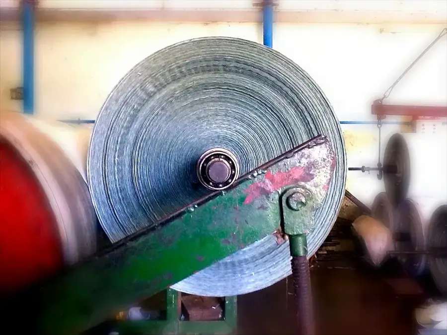
- Webuye is known for its defunct paper mill, Pan Paper, which remains a massive industrial landmark in the town.
- The climate is generally warm and humid, so pack light, breathable clothing.
- Nabuyole Falls is a lesser-known spot nearby; hire a local guide as the paths are not well marked.
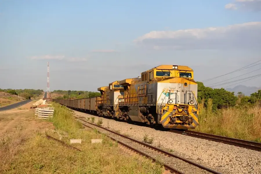
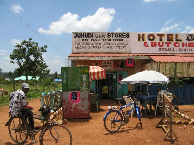
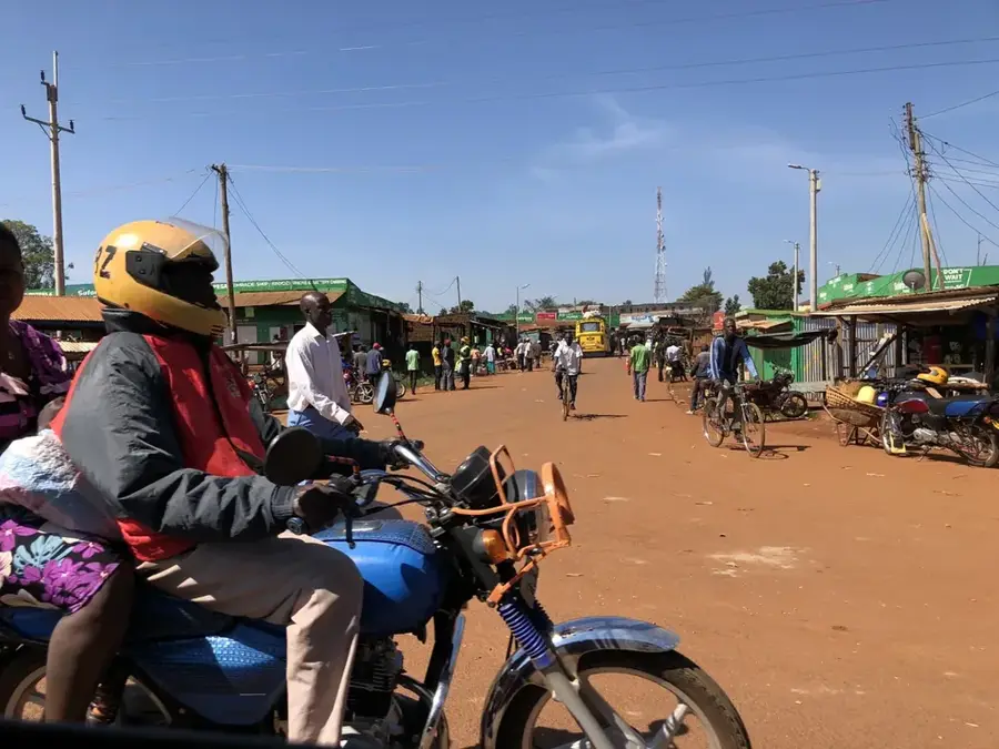
- It's an important stop on the highway to Uganda, making it a bustling center for truck drivers and traders.
🍽 Food
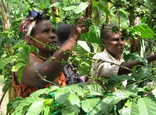
The local traditional chicken dish is a must-try. It is flavorful and often served with Ugali.
Sourced from the region's rivers, fried fish is heavily featured in roadside restaurants.
The staple food of the region, served in generous portions alongside meats and local greens.
🛍 Shopping · 🧘 Quiet spots
Artisans in the surrounding villages create beautiful and functional traditional clay pots.
Pick up fresh bananas, mangoes, and avocados at bargain prices from highway vendors.
A photogenic, roaring waterfall on the Nzoia River great for a quiet afternoon picnic.
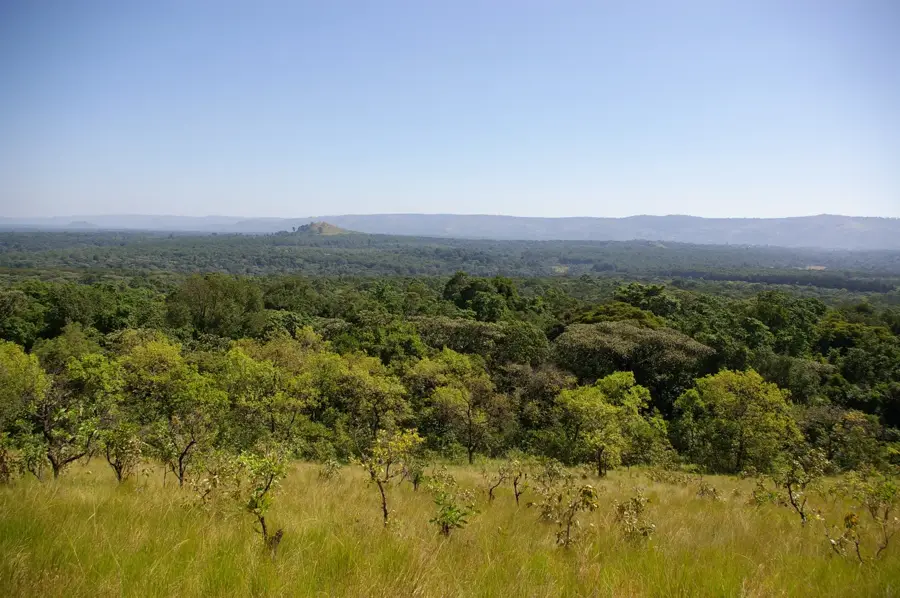
Climb up for a panoramic view of the town and the vast landscapes of Bungoma County.
Water temperature…
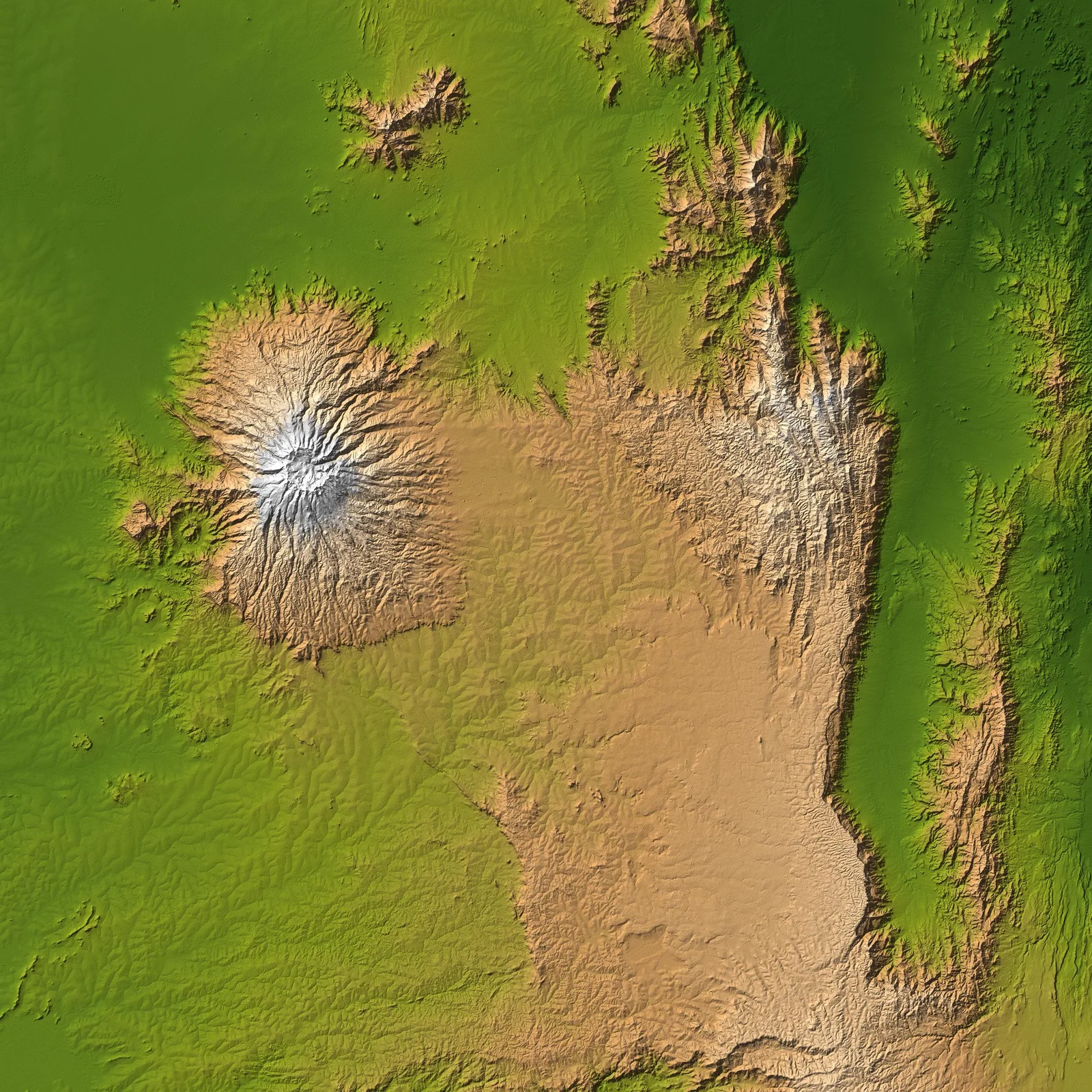
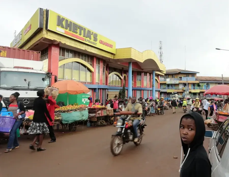
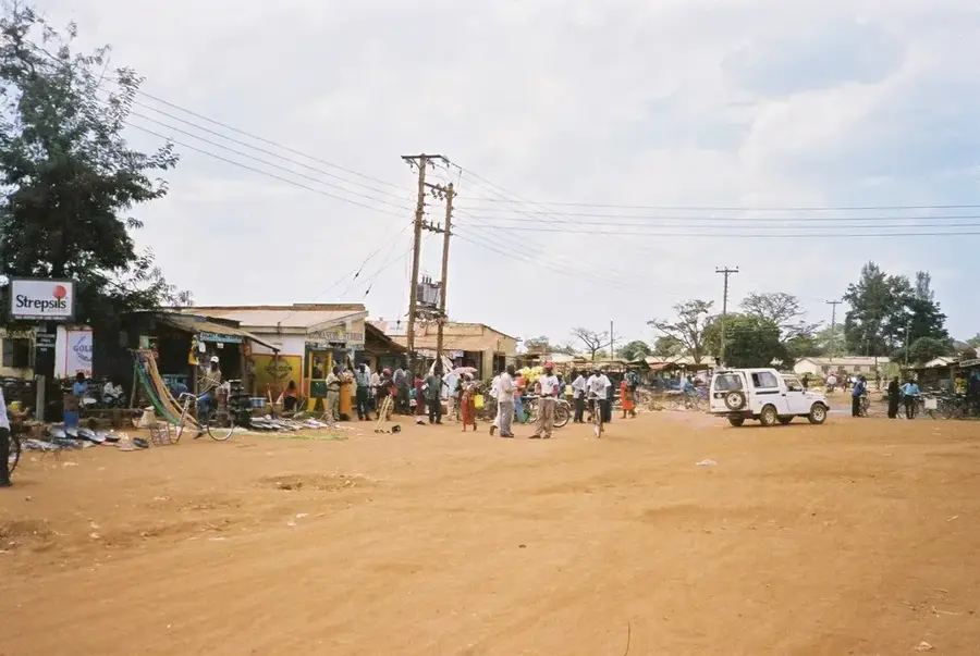
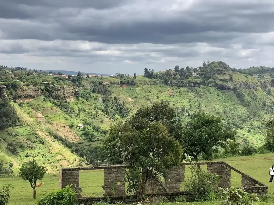
Webuye is a prominent industrial town in Bungoma County, western Kenya, situated along the strategic highway connecting Nairobi to Uganda. The town is most famous for the Pan African Paper Mills, which was once one of the largest paper manufacturing plants in Africa and formed the economic backbone of the region. Geographically, Webuye lies at the foot of the Chetambe Hills and is in close proximity to the spectacular Nabuyole Falls (formerly Broderick Falls) on the Nzoia River. These falls are not only a scenic tourist attraction but also hold deep spiritual significance for the local Bukusu community. The surrounding landscape is characterized by rolling hills convenient for sugarcane and maize cultivation, making the town a vital agricultural trade center. Despite economic fluctuations following the paper mill's operational challenges, Webuye remains a key transport junction and a hub for chemical industries and education. The town gives a unique glimpse into the industrial heritage of Western Kenya and the rich traditions of the Luhya people.
- Location: Kenya
- Nearby: Kimilili (16 km)
- Population: ~42.642 (2024)
Best time to visit & climate
The most pleasant time to visit is Jan–Mar.
| Jan | Feb | Mar | Apr | May | Jun | Jul | Aug | Sep | Oct | Nov | Dec | |
|---|---|---|---|---|---|---|---|---|---|---|---|---|
| Avg °C | 19 | 20 | 21 | 20 | 19 | 18 | 18 | 18 | 19 | 19 | 19 | 18 |
| Rain mm | 52 | 49 | 128 | 275 | 260 | 173 | 159 | 201 | 188 | 200 | 175 | 89 |
Geography
Facts
- Home to the large Pan African Paper Mills industry
- Located on the main A104 highway to Uganda border
- Proximity to the scenic Nabuyole (Broderick) Falls
- Situated at the foot of the historic Chetambe Hills
- Host to significant chemical manufacturing facilities
- Cultural hub for the Bukusu sub-tribe of the Luhya
Explore nearby
Notable places around
Route planner — Car & Motorhome
Where do you start? We build the route here, with stops and country notes along the way.
© OpenStreetMap contributors · OpenRouteService
Frequently asked questions
What is the most distinctive landmark in Webuye?
Are there waterfalls nearby?
Was Webuye an industrial hub?
What is the historical significance of Chetambe Hills?
Which ethnic group dominates here?
Webuye: where is it located?
Webuye: when is the best time to visit?
Webuye: why is it worth visiting?

Nearby cities


More places