Plizio Visual Lab
Meymand
Weather…
Water temperature…
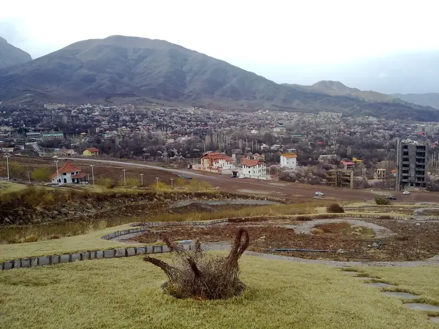
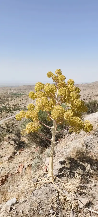
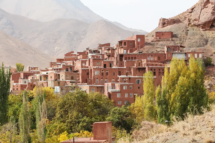
Meymand is a fascinating example of how ancient ways of life endure in extreme environments. Located in a remote valley in Kerman province, the village consists of over 300 hand-dug dwellings carved directly into the soft volcanic tuff. Some of these rock-cut structures are believed to have been inhabited for over 2,000 years. The architecture is ingeniously functional, providing natural air conditioning in the scorching summer and insulation against the winter cold. The village is a UNESCO World Heritage site, representing a unique agro-pastoral human settlement. The residents lead a semi-nomadic life: spending winters in the caves, springs in mountain settlements, and summers in lush orchards. Meymand features a rock-cut mosque, a historic bathhouse, and even a small school, all hollowed out of the mountain. The atmosphere is serene and feels entirely disconnected from the modern world. Visitors can sample local herbal teas, sun-dried fruits, and traditional flatbread. Meymand is accessible via the town of Shahr-e Babak. Given its desert location, spring and autumn offer the most comfortable temperatures for exploration. For a truly immersive experience, several caves have been converted into simple guesthouses, allowing visitors to spend a night within the ancient rock walls.
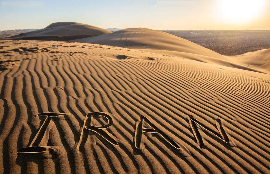
- Location: Iran
- Top sights: Kamar-e Bandābi · Lārravāsdān · Lākorik
📋 Practical info
Geography
Facts
- UNESCO World Heritage site since 2015
- Over 300 hand-dug cave dwellings
- Inhabited for approximately 2,000 years
- Residents follow a semi-nomadic lifestyle
- Features a fully functional rock mosque
- The dwellings are locally called 'Kicheh'
- Located at 2,200 meters above sea level
- Natural insulation against desert weather
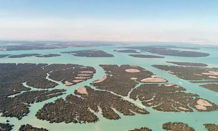
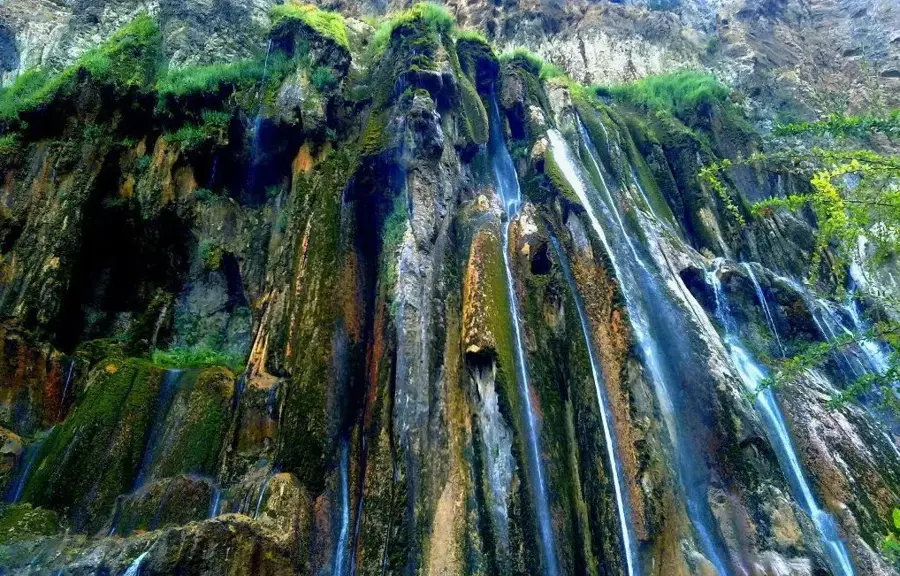
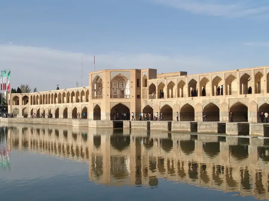
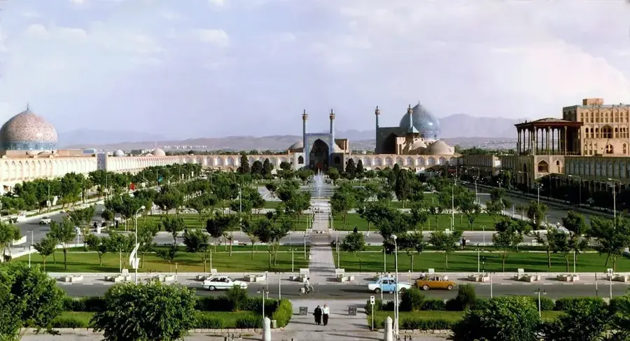
Explore nearby
Notable places around
Route planner — Car & Motorhome
Where do you start? We build the route here, with stops and country notes along the way.
© OpenStreetMap contributors · OpenRouteService
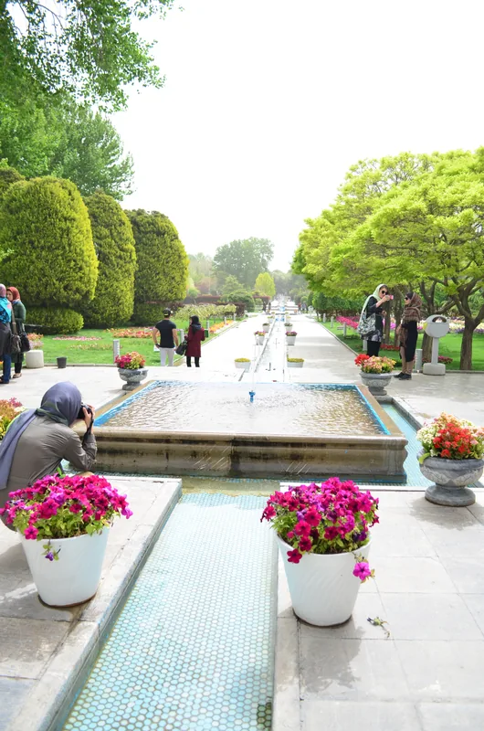
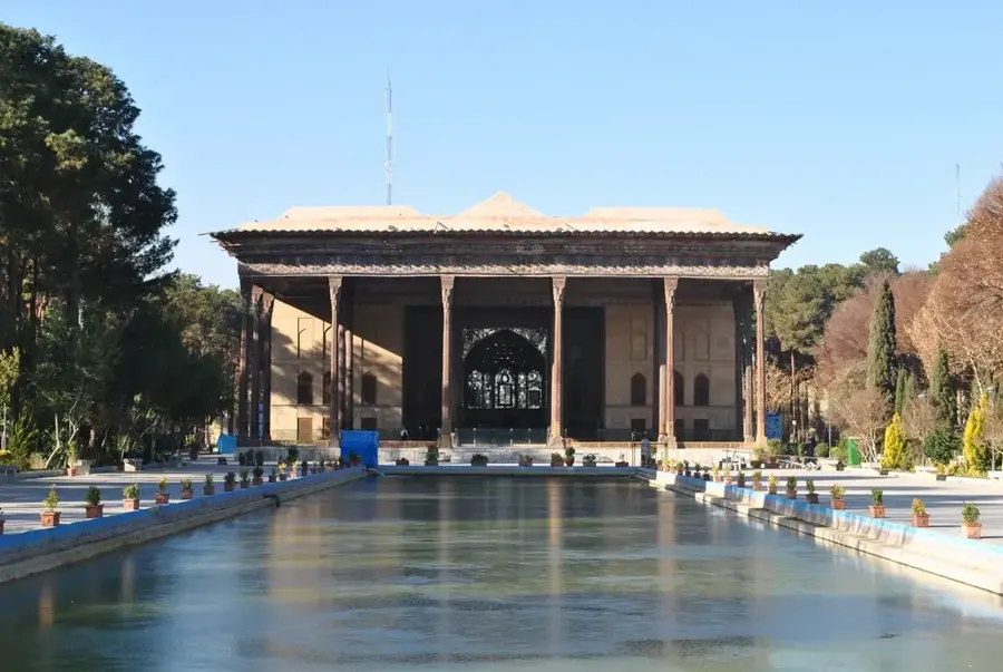
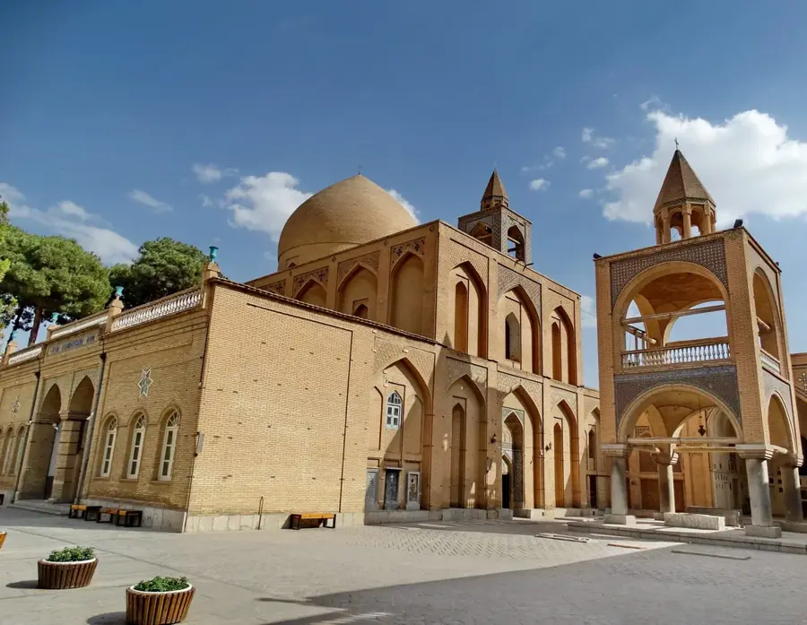
Sights in the town Meymand (4)
Sights nearby
Frequently asked questions
Meymand: where is it located?
Meymand: what is there to see?
Meymand: why is it worth visiting?

Nearby cities
History & landmarks
More places