Plizio Visual Lab
Krafla
Weather…
Water temperature…
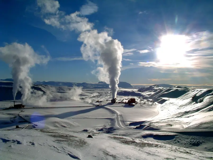
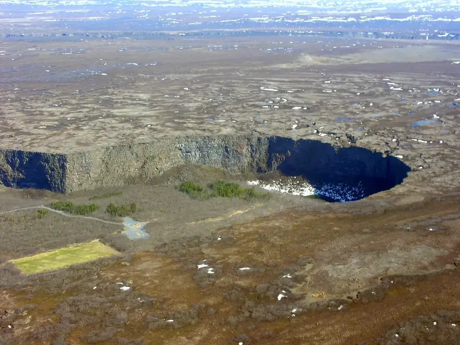
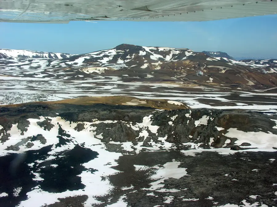
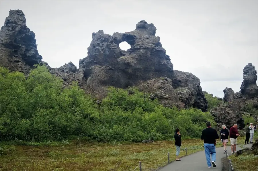
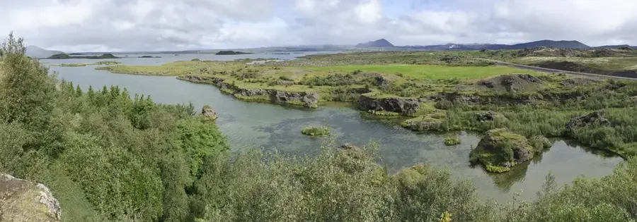
Krafla is a highly active volcanic system in northern Iceland, located about 15 kilometers northeast of Lake Mývatn. The system features a central caldera roughly 10 kilometers wide and a 90-kilometer-long fissure swarm situated directly on the Mid-Atlantic Ridge between the Eurasian and North American tectonic plates. A key landmark is the Víti crater, formed in 1724 during the massive 'Mývatn Fires' eruption, which now contains a striking opaque blue lake. Between 1975 and 1984, the area experienced the 'Krafla Fires,' a series of nine volcanic eruptions that dramatically altered the landscape with fresh lava fields and massive ground fissures. Today, the area's geothermal energy is harnessed by the Krafla Power Station, which was completed in 1977 as Iceland's first major geothermal plant. Visitors can hike through the Leirhnjúkur area to witness still-steaming lava and boiling mud pots, providing a close-up look at the planet's internal heat. Krafla remains a vital site for scientific research into volcanology and sustainable energy production.
- Location: Iceland
- Top sights: Krafla · Graddabunga
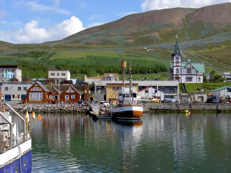
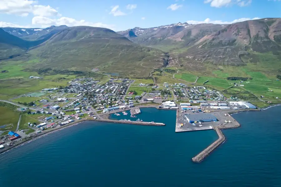
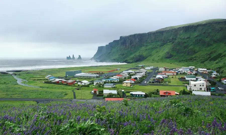
- Nearby: Mývatn Nature Baths (11 km)
Best time to visit & climate
The most pleasant time to visit is Jun–Aug.
| Jan | Feb | Mar | Apr | May | Jun | Jul | Aug | Sep | Oct | Nov | Dec | |
|---|---|---|---|---|---|---|---|---|---|---|---|---|
| Avg °C | -6 | -6 | -5 | -3 | 1 | 5 | 7 | 6 | 3 | -1 | -4 | -6 |
| Rain mm | 83 | 67 | 78 | 69 | 72 | 59 | 81 | 84 | 104 | 103 | 100 | 95 |
📋 Practical info
Geography
Facts
- The Krafla caldera has a diameter of approximately 10 kilometers.
- The 'Krafla Fires' involved 9 eruptions between 1975 and 1984.
- The Víti crater was formed in 1724 at the start of the 'Mývatn Fires'.
- The Krafla geothermal power station has been operational since 1977.
- The associated fissure swarm stretches for a total of 90 kilometers.
- A drilling project in 2009 accidentally struck magma at a depth of 2.1 km.
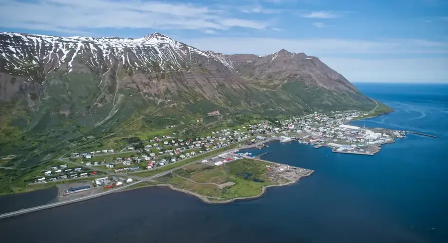
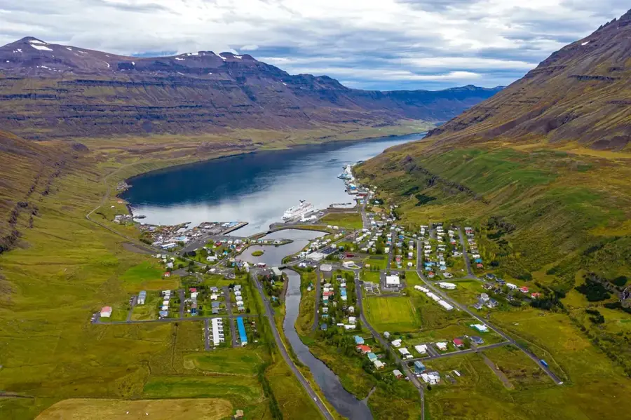
Explore nearby
Notable places around
Route planner — Car & Motorhome
Where do you start? We build the route here, with stops and country notes along the way.
© OpenStreetMap contributors · OpenRouteService
Sights in the town Krafla (2)
Sights nearby
Frequently asked questions
What is the difference between Krafla-Viti and Askja-Viti?
Can you visit the geothermal power station?
Is the Leirhnjúkur area dangerous?
How long does it take to hike around the crater?
When was the last eruption?
Krafla: where is it located?
Krafla: what is there to see?
Krafla: when is the best time to visit?
Krafla: why is it worth visiting?

Nearby cities


History & landmarks


Nature

More places