Plizio Visual Lab
Szabadszállás
ℹ️Practical info — Szabadszállás
▾
🌤 Weather — 5 days
📍 Nearby
Sights nearby
💡 Tips
- Visit the nearby Kiskunság National Park trails in the early morning for the best bird watching.
- Parking around the main square is generally free and hassle-free.
- Note that smaller rural shops often close early on Saturday afternoons.
- The József Attila memorial plaques in the center are worth a quick detour.
🍽 Food
Try the local white wines at the surrounding wine cellars.
Look for authentic Hungarian stew (pörkölt) in the local inns.
Grab fresh, savory biscuits from the bakeries near the main square.
🛍 Shopping · 🧘 Quiet spots
Buy local honey and homemade sausages at the local market.
Excellent for grabbing picnic supplies before heading out to the national park.
A quiet, shaded spot right in the heart of the town.
Walk towards the Kiskunság plains to experience total silence.
Water temperature…
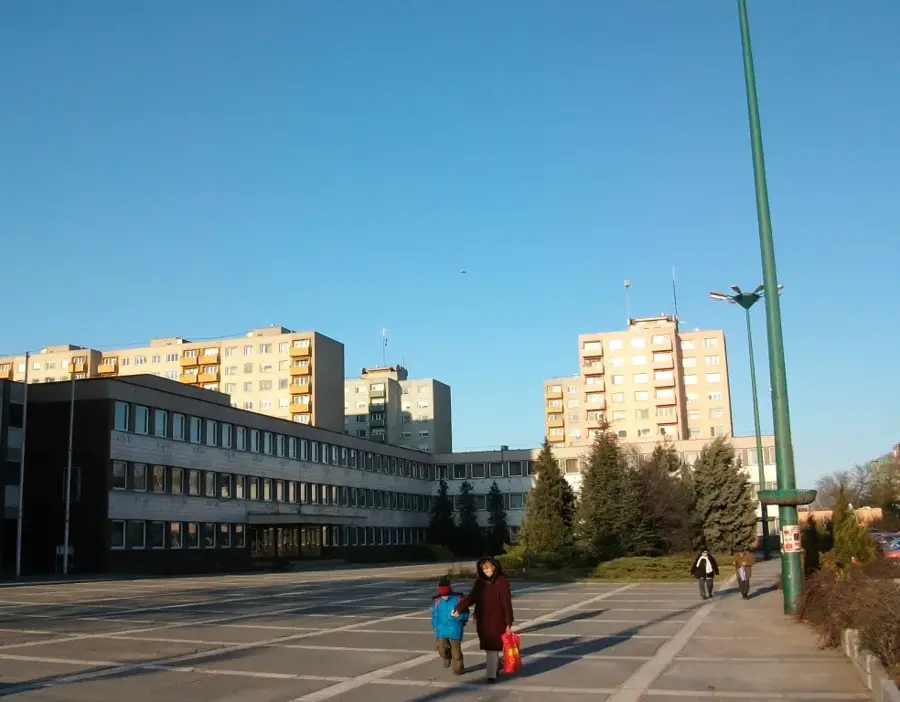
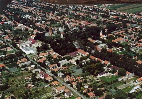
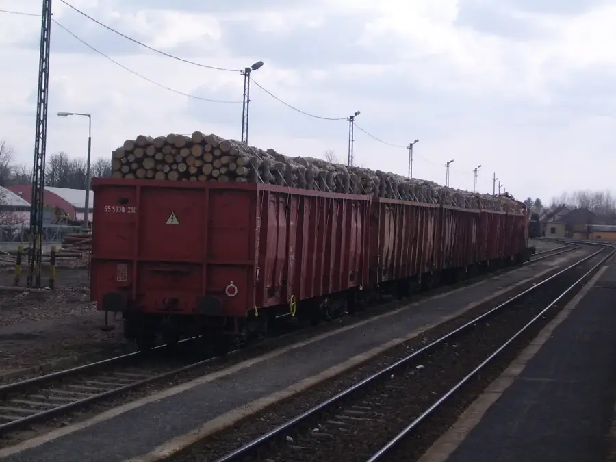
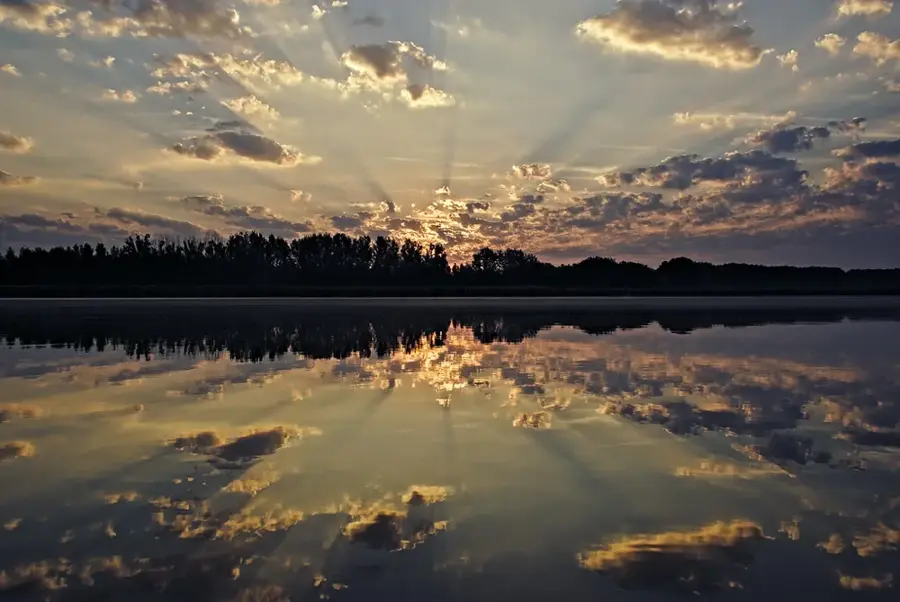
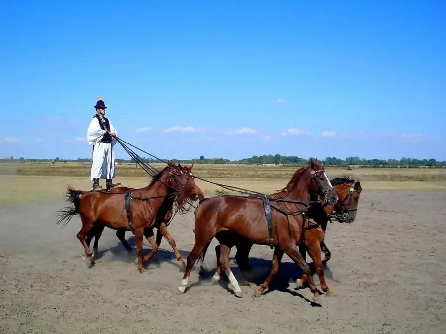
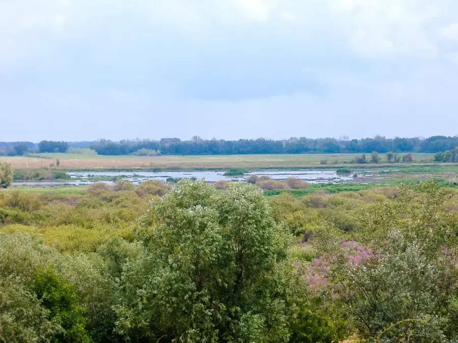
Szabadszállás is a town in Bács-Kiskun County on the Great Hungarian Plain, boasting deep historical ties to the Cuman people who settled the area in the 13th century. Its name literally translates to "free accommodation," reflecting the tax-exempt status and privileges granted to the Cumans by medieval monarchs. Covering an expansive 164 square kilometers, much of its outskirts integrate into the Kiskunság National Park, preserving the iconic alkaline steppes and sand dunes of the Hungarian Puszta. Szabadszállás holds literary importance as a childhood retreat for Attila József, one of Hungary's most celebrated poets. Economically, the town of approximately 6,000 residents is heavily anchored in agriculture, specifically livestock and arable farming. For decades, the local economy was boosted by a large military garrison (closed in 2004) and its strategic placement along the main Budapest-Kelebia railway corridor.
- Location: Hungary
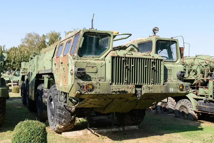
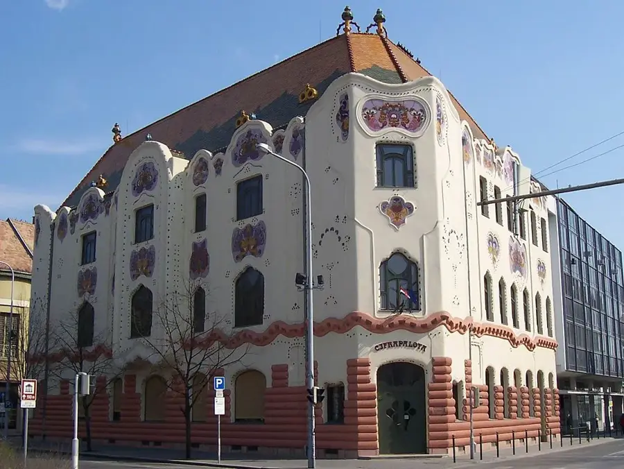
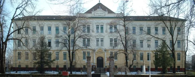
- Top sights: Szabadszállás Railway Station · Garrison History Collection · ÁFÉSZ Department Store
- Nearby: Kunszentmiklós (18 km)
- Population: ~5.853
Best time to visit & climate
The most pleasant time to visit is Jun–Aug.
| Jan | Feb | Mar | Apr | May | Jun | Jul | Aug | Sep | Oct | Nov | Dec | |
|---|---|---|---|---|---|---|---|---|---|---|---|---|
| Avg °C | -1 | 1 | 6 | 12 | 17 | 21 | 24 | 23 | 18 | 12 | 6 | 0 |
| Rain mm | 37 | 41 | 39 | 34 | 63 | 67 | 62 | 60 | 59 | 50 | 42 | 42 |
Geography
Facts
- The municipality controls a vast land area of 164.62 km².
- Szabadszállás was officially elevated to town status in 1995.
- The major military garrison in the town was shut down in 2004.
- First historical record of the settlement dates to 1279.
- Average elevation of the settlement is 95 meters above sea level.
- The current population stands at approximately 6,000 residents.
Explore nearby
Notable places around
Route planner — Car & Motorhome
Where do you start? We build the route here, with stops and country notes along the way.
© OpenStreetMap contributors · OpenRouteService
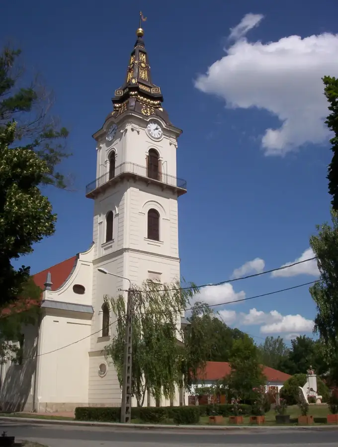
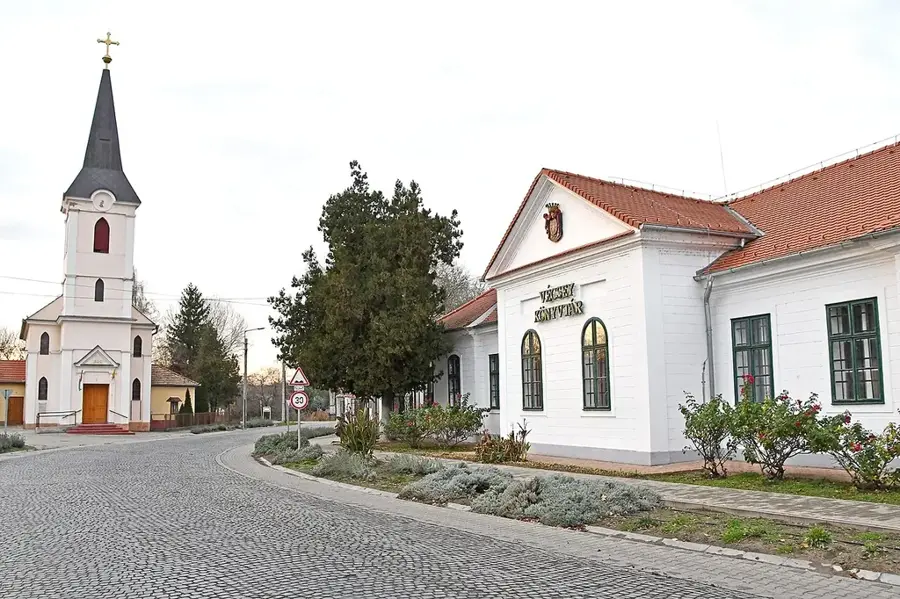
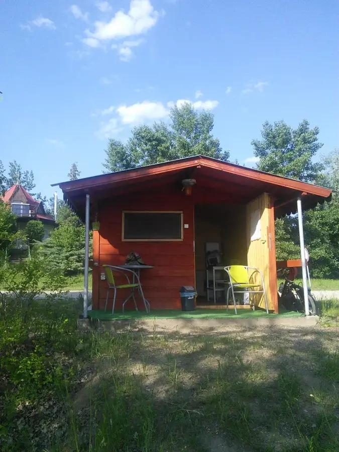
Sights in the town Szabadszállás (5)
Frequently asked questions
What is the connection to Sándor Petőfi?
Which national park is nearby?
What can be seen in the town center?
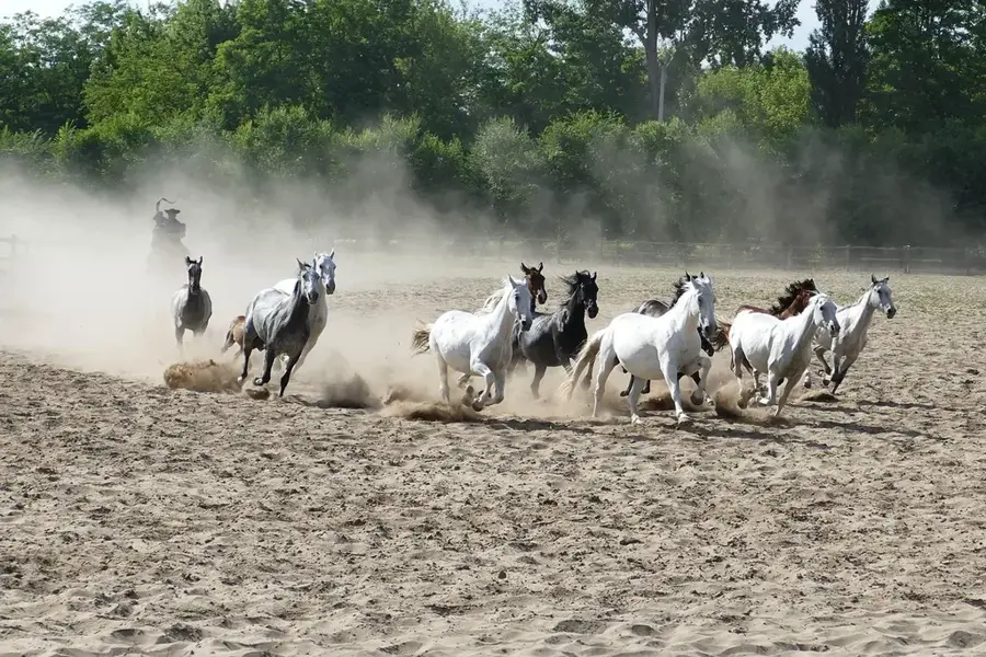
Are there traditional horse programs?
When are the Petőfi memorial days?
Szabadszállás: where is it located?
Szabadszállás: what is there to see?
Szabadszállás: when is the best time to visit?
Szabadszállás: why is it worth visiting?

Nearby cities
History & landmarks
Nature

More places