Plizio Visual Lab
Danube-Tisza Canal
Weather…
Water temperature…
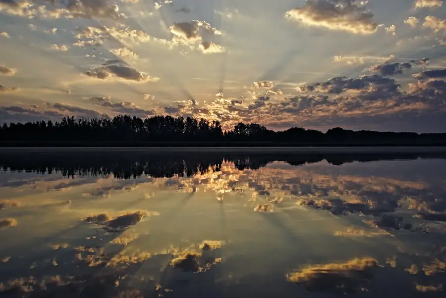
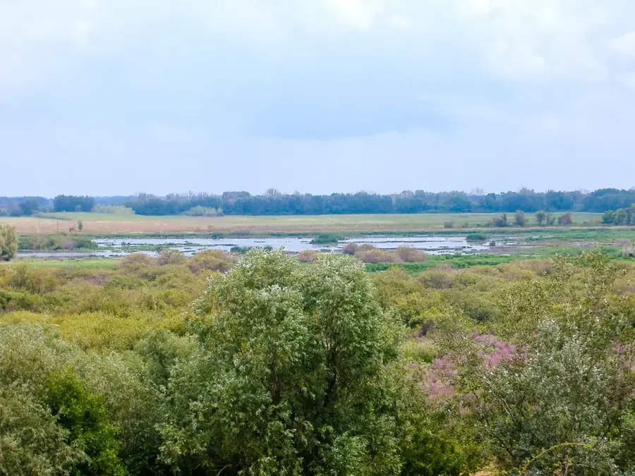
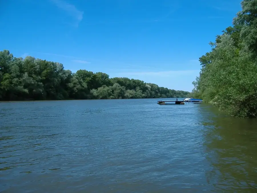
The Danube-Tisza Canal is an artificial waterway system in Hungary, originally planned to provide a direct connection between the country's two largest rivers. The first serious plans for the canal date back to the 18th century, but construction only began on a larger scale in the 1940s. Although the canal was never fully completed for continuous navigation, it today plays a crucial role in the drainage and irrigation of agricultural lands between the rivers. The system spans approximately 100 kilometers in length and traverses the sandy plains of the interfluve region. Ecologically, the canal has altered the hydrological conditions of the region and now provides habitat for various fish and water bird species along its banks. The maintenance of the canal is of strategic importance for the flood protection of surrounding settlements.
- Location: Hungary
- Nearby: Kiskunhalas (8 km)
Best time to visit & climate
The most pleasant time to visit is Jun, Aug, Sep.
| Jan | Feb | Mar | Apr | May | Jun | Jul | Aug | Sep | Oct | Nov | Dec | |
|---|---|---|---|---|---|---|---|---|---|---|---|---|
| Avg °C | -1 | 1 | 6 | 12 | 17 | 22 | 24 | 24 | 18 | 12 | 6 | 0 |
| Rain mm | 38 | 43 | 39 | 37 | 67 | 71 | 61 | 58 | 59 | 53 | 43 | 43 |
📋 Practical info
Geography
Facts
- The total length of the main canal is approximately 97 kilometers.
- Construction of the modern canal section was intensified in 1947.
- The canal connects Dunaharaszti on the Danube with Tiszaalpár on the Tisza.
- The average bed width of the canal is about 10 meters.
- It provides irrigation for over 10,000 hectares of farmland.
- Water levels are regulated through several locks and dams.
Explore nearby
Notable places around
Route planner — Car & Motorhome
Where do you start? We build the route here, with stops and country notes along the way.
© OpenStreetMap contributors · OpenRouteService
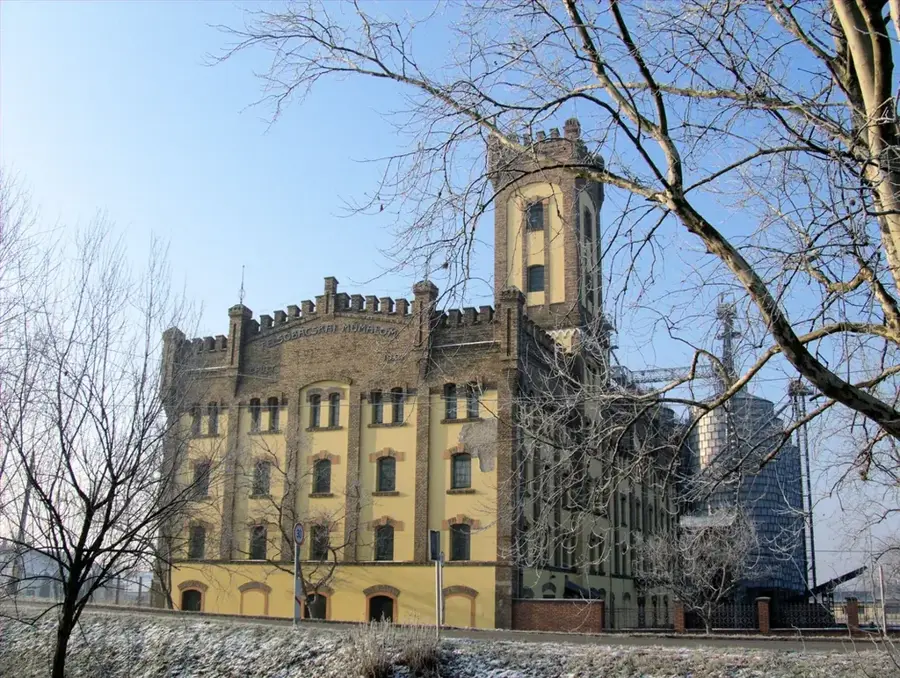
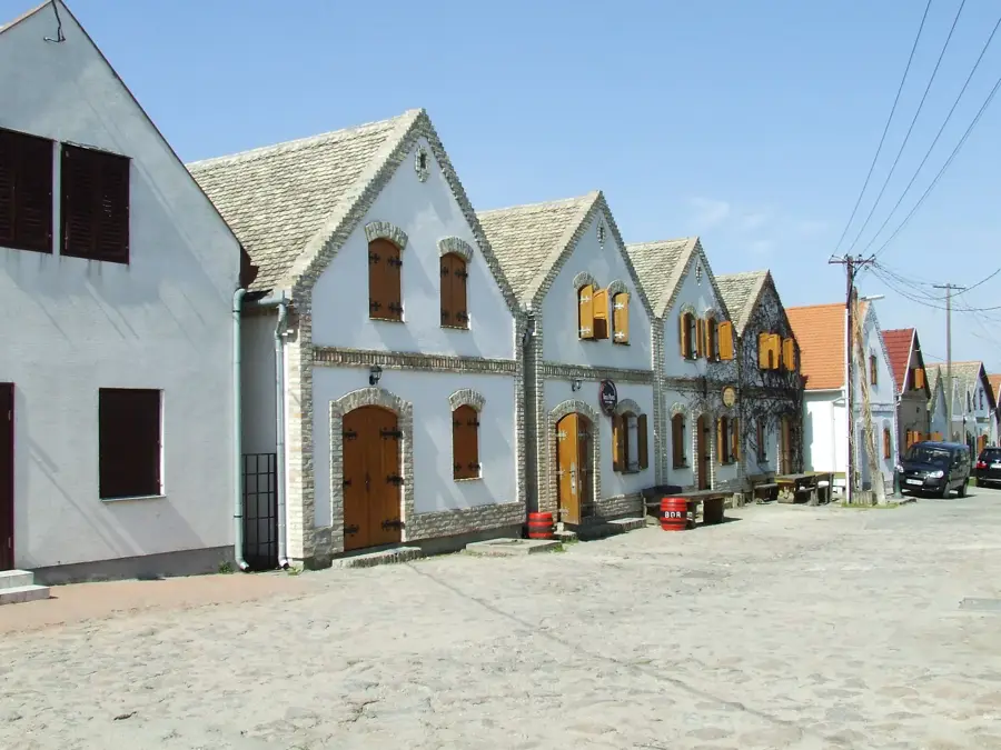
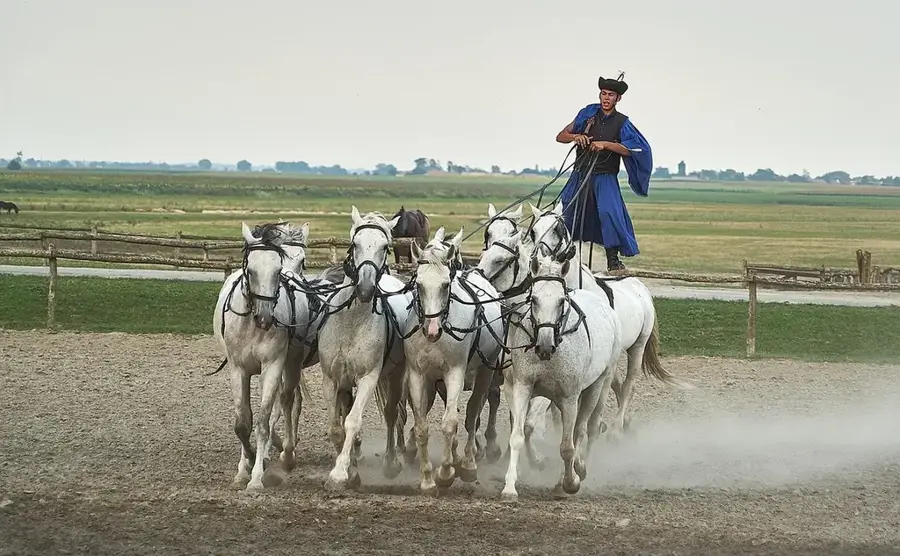
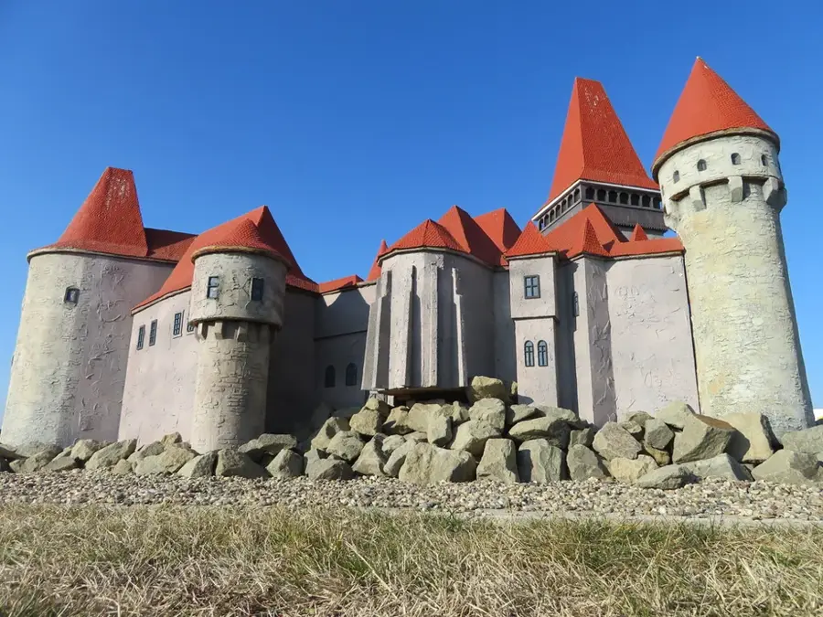
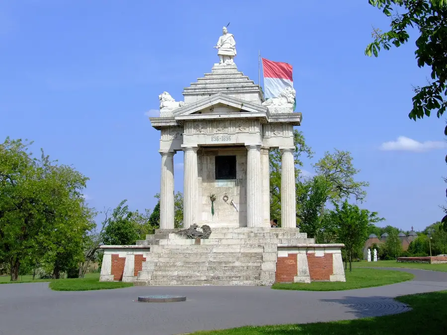
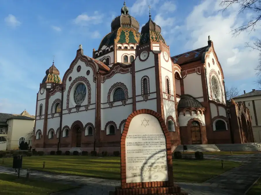
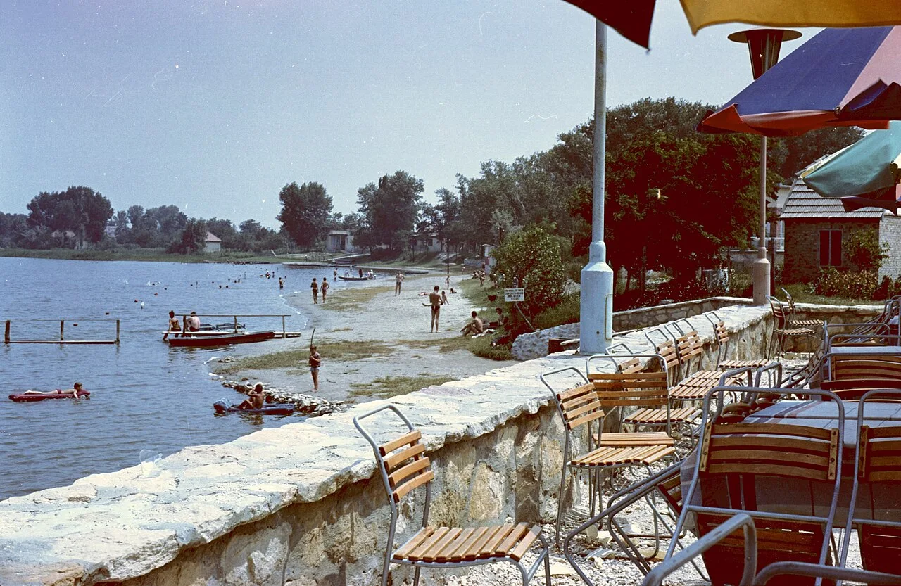
Sights nearby
Frequently asked questions
Is the Danube-Tisza canal navigable?
Is fishing allowed in the canal?
Can you cycle along the canal bank?
Where is the best place to launch a kayak?
How deep is the canal water on average?
Danube-Tisza Canal: where is it located?
Danube-Tisza Canal: when is the best time to visit?
Danube-Tisza Canal: why is it worth visiting?

Nearby cities


History & landmarks
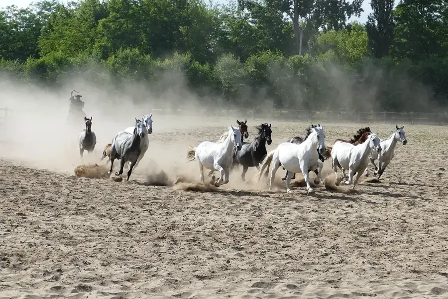
Nature
More places