Plizio Visual Lab
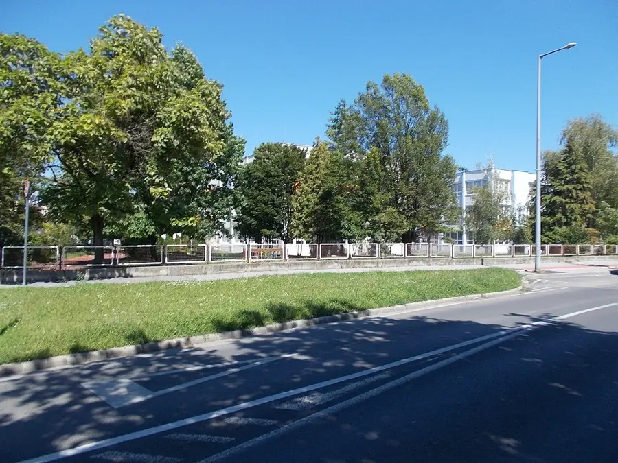
Zala River

Weather…
Water temperature…
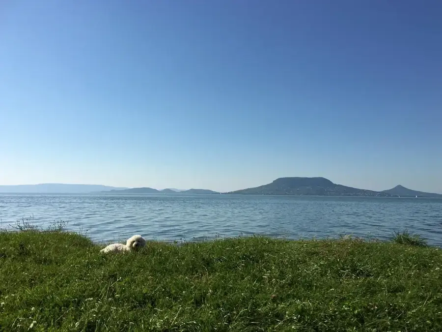
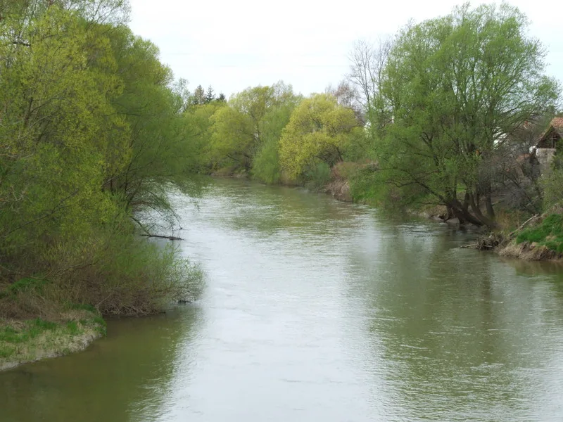
The Zala River is one of the most significant watercourses in Western Hungary, stretching 126 kilometers from its source to its mouth. It originates in the hills of the Őrség region, near the Austrian border, and flows eastward across Zala County, passing through major settlements like Zalaegerszeg. Its drainage basin covers approximately 2,622 square kilometers, making it the primary inflow for Lake Balaton. The river's most vital ecological function occurs at its mouth, where it passes through the Kis-Balaton (Little Balaton) wetland system. This area serves as a natural bio-filter, trapping sediments and excess nutrients before they can enter the main lake, thus ensuring the water quality of Central Europe's largest freshwater reservoir. The average discharge at the confluence with the lake is 6 cubic meters per second, fluctuating with seasonal rainfall.
- Location: Hungary
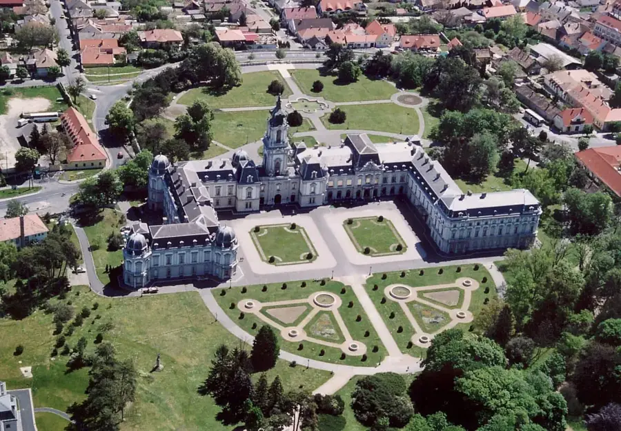
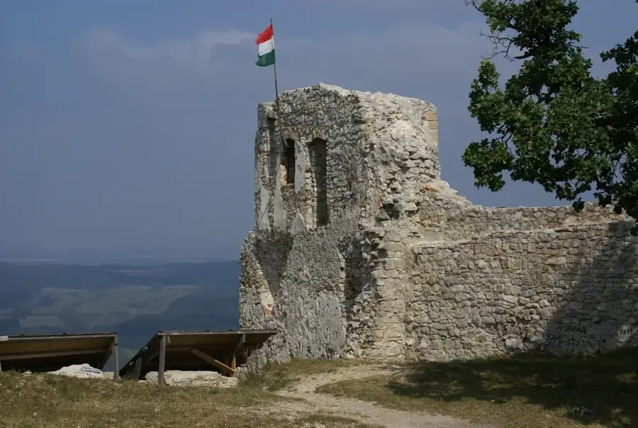
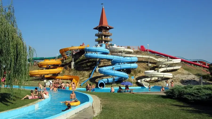
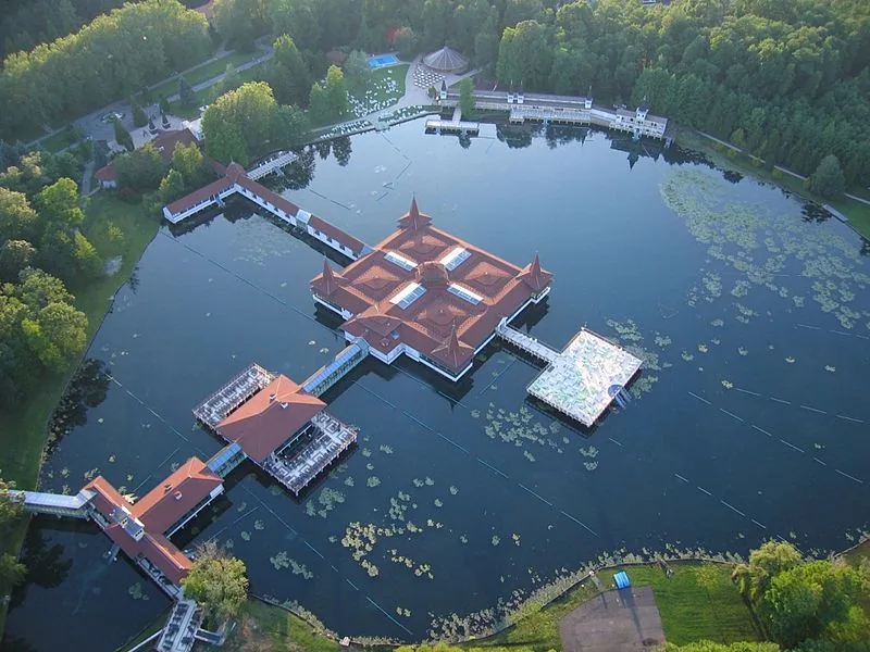
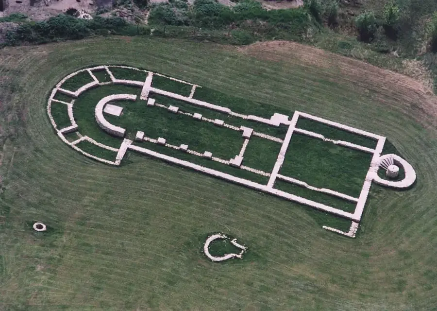
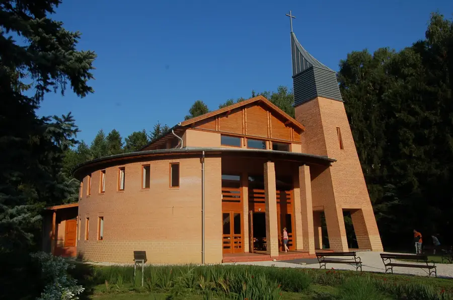
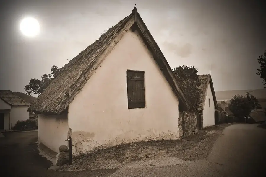
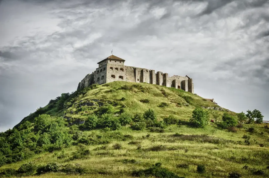
- Top sights: Fábiánics-kastély · Fokozottan védett terület
- Nearby: Vasvár (32 km)
Best time to visit & climate
The most pleasant time to visit is Jun–Aug.
| Jan | Feb | Mar | Apr | May | Jun | Jul | Aug | Sep | Oct | Nov | Dec | |
|---|---|---|---|---|---|---|---|---|---|---|---|---|
| Avg °C | -1 | 1 | 5 | 11 | 16 | 21 | 23 | 22 | 17 | 11 | 5 | 0 |
| Rain mm | 34 | 41 | 41 | 39 | 71 | 77 | 71 | 72 | 74 | 56 | 49 | 42 |
📋 Practical info
Geography
Facts
- The total length of the river is exactly 126 kilometers.
- The drainage basin of the Zala covers an area of 2,622 km².
- The source is located in the Őrség hills near Felsőszölnök.
- The average water discharge at the mouth is 6 cubic meters per second.
- The Zala provides nearly 50% of the total water inflow of Lake Balaton.
- The river passes directly through the city of Zalaegerszeg.
Explore nearby
Notable places around
Route planner — Car & Motorhome
Where do you start? We build the route here, with stops and country notes along the way.
© OpenStreetMap contributors · OpenRouteService
Sights in the town Zala River (2)
Sights nearby
Frequently asked questions
Where does the Zala river originate?
Does the Zala flow into Lake Balaton?
What is Zala's role at Kis-Balaton?
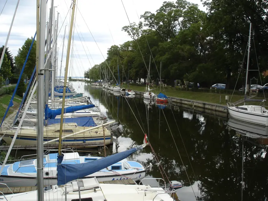
Can you go paddling on the Zala river?
Are there cycle paths along the river?
Zala River: where is it located?
Zala River: what is there to see?
Zala River: when is the best time to visit?
Zala River: why is it worth visiting?

Nearby cities
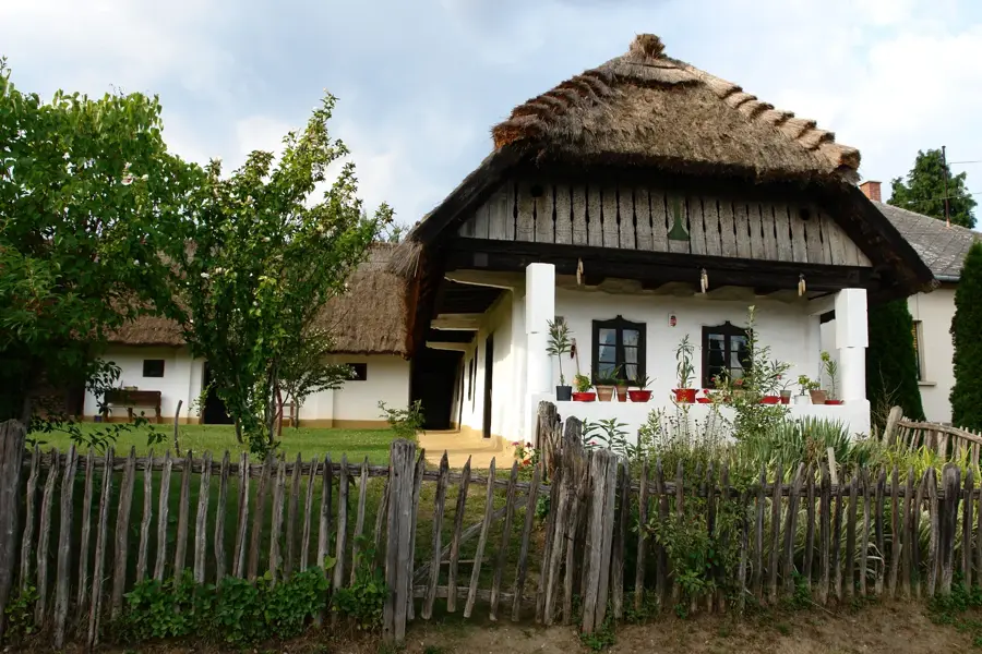
History & landmarks
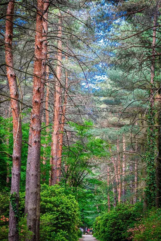
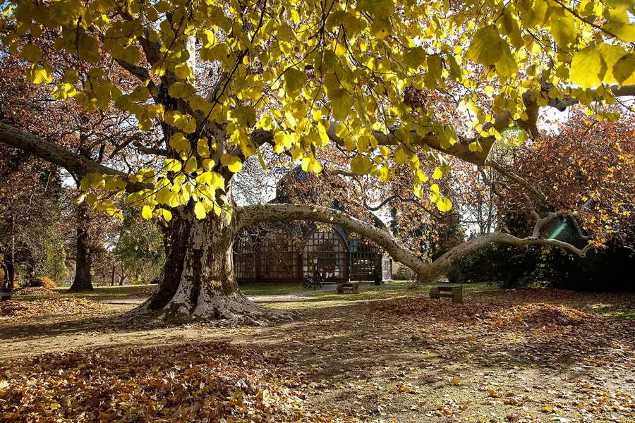
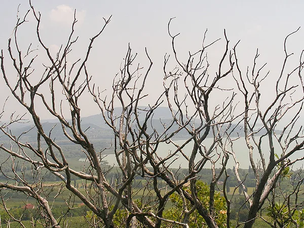
Nature

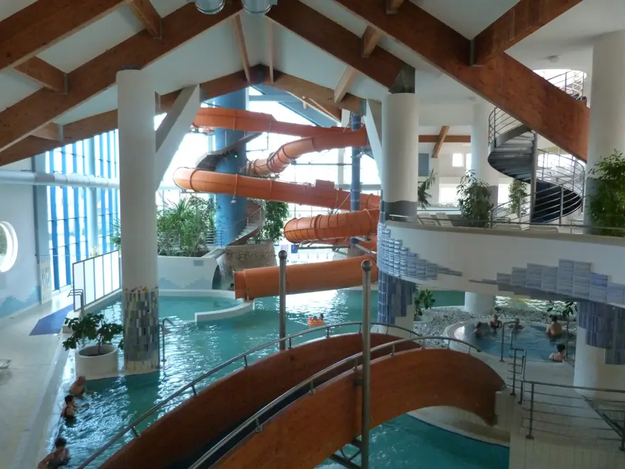
More places