Plizio Visual Lab
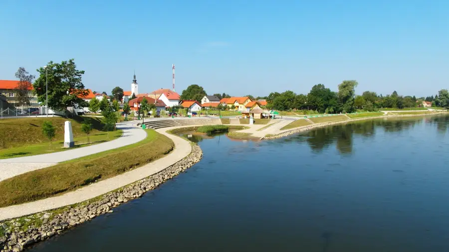
Mura River
Weather…
Water temperature…
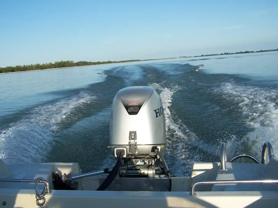
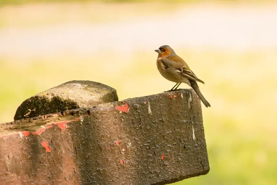
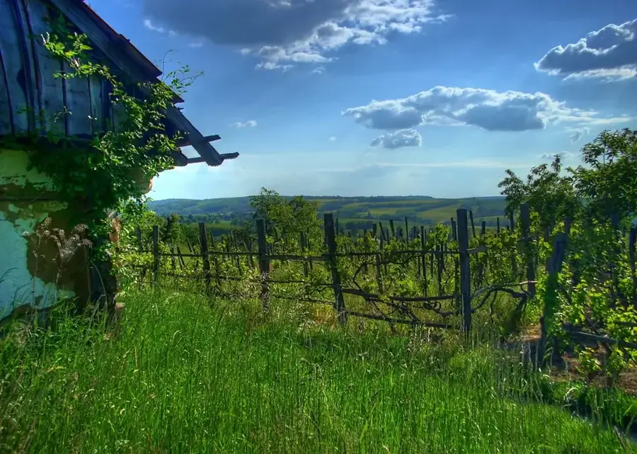
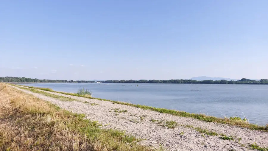
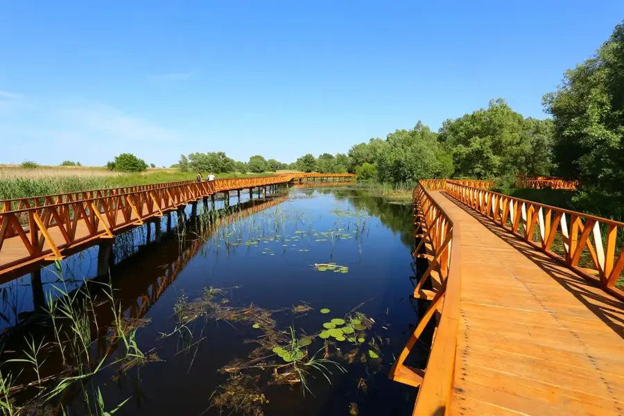
The Mura is a significant Alpine river in Central Europe and the largest tributary of the Drava River. It originates in the Hohe Tauern range of the Austrian Alps and flows for 444 kilometers through Austria, Slovenia, Croatia, and Hungary. In its lower reaches, the river forms the natural border between Hungary and its southern neighbors, shaping a unique floodplain landscape. This region is part of the Mura-Drava-Danube Biosphere Reserve, often called the 'Amazon of Europe' due to its exceptional biodiversity and pristine natural state. The Mura is characterized by its swift current and dynamic riverbed, featuring numerous side arms, oxbow lakes, and gravel banks. Historically, the river was vital for timber rafting and the operation of floating watermills, some of which have been restored as technical monuments. The untouched gallery forests along the river provide a sanctuary for rare bird species like the white-tailed eagle and the black stork, as well as a diverse range of fish.
- Location: Hungary
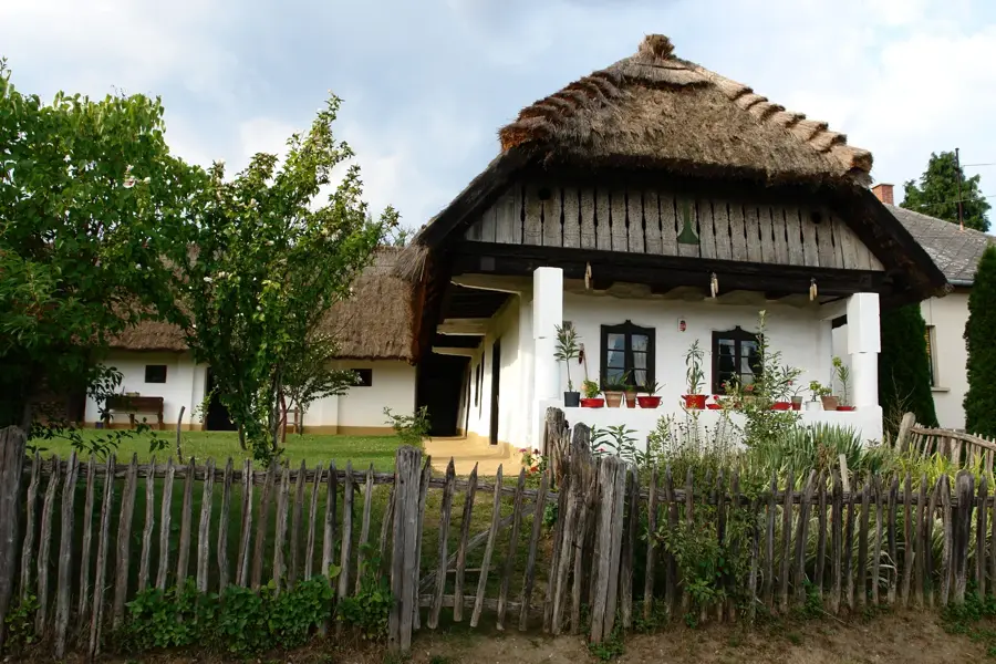
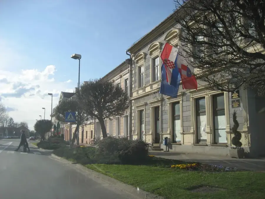
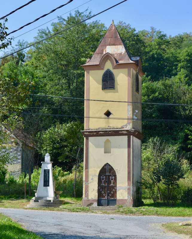
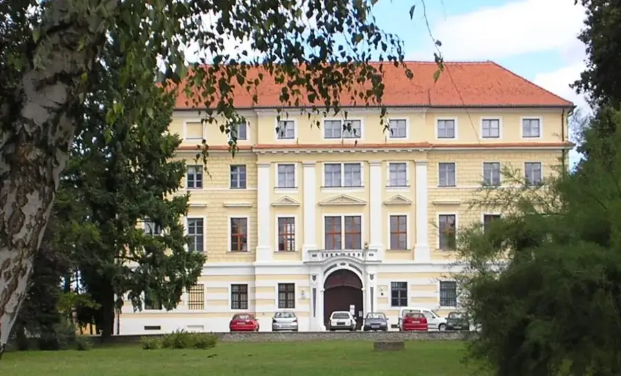
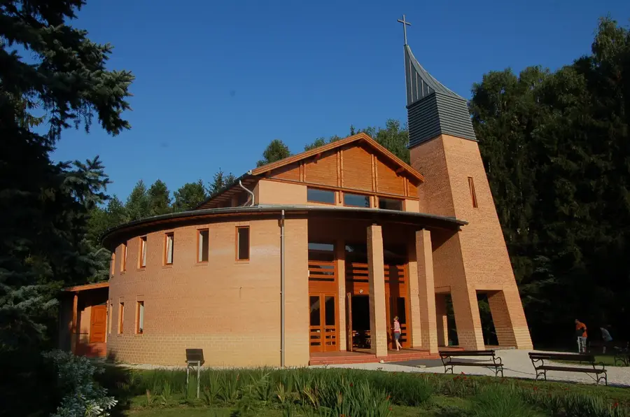
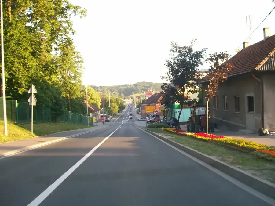
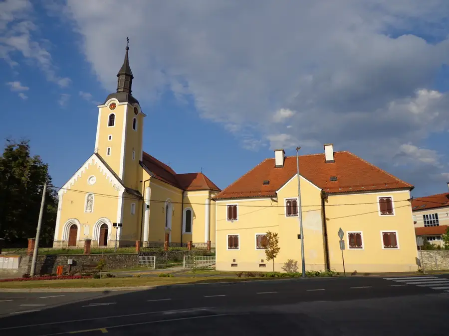
- Top sights: Črni most · Etno Kuča Goričan
- Nearby: Letenye (4 km)
Best time to visit & climate
The most pleasant time to visit is Jun–Aug.
| Jan | Feb | Mar | Apr | May | Jun | Jul | Aug | Sep | Oct | Nov | Dec | |
|---|---|---|---|---|---|---|---|---|---|---|---|---|
| Avg °C | -1 | 1 | 5 | 11 | 16 | 20 | 23 | 22 | 16 | 11 | 5 | 0 |
| Rain mm | 40 | 50 | 50 | 52 | 84 | 86 | 83 | 83 | 95 | 71 | 65 | 52 |
📋 Practical info
Geography
Facts
- The total length of the Mura River is 444 kilometers.
- It originates at an elevation of 1,898 meters in the Austrian Alps.
- The river forms the international border for approximately 48 km in Hungary.
- It is a core part of the UNESCO Mura-Drava-Danube Biosphere Reserve.
- The river basin supports more than 50 different species of fish.
- Traditional floating mills were used on the river until the early 20th century.
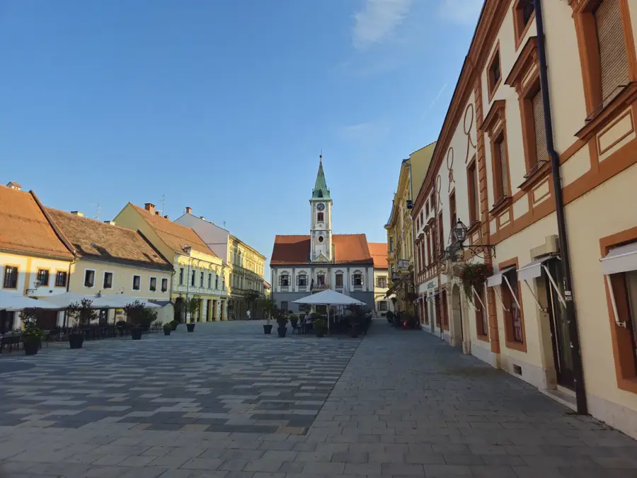
Explore nearby
Notable places around
Route planner — Car & Motorhome
Where do you start? We build the route here, with stops and country notes along the way.
© OpenStreetMap contributors · OpenRouteService
Sights in the town Mura River (2)
Sights nearby
Frequently asked questions
Is the Mura a border river?
Can you go kayaking or canoeing on the Mura?
Can water mills still be seen on the river?
What is the Mura Biosphere Reserve?
Is fishing allowed in the Mura?
Mura River: where is it located?
Mura River: what is there to see?
Mura River: when is the best time to visit?
Mura River: why is it worth visiting?

Nearby cities
History & landmarks
Nature

More places