Plizio Visual Lab
Mabura Hill

Weather…
Water temperature…
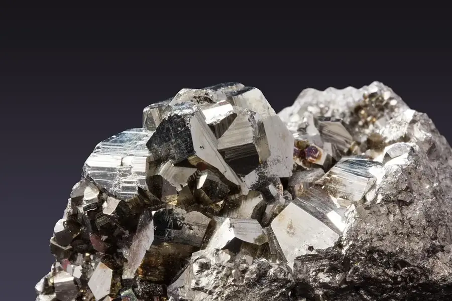
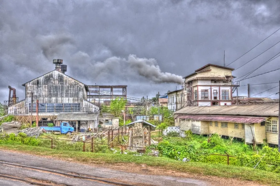
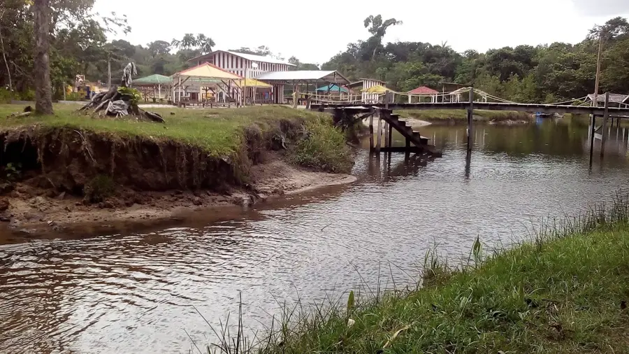
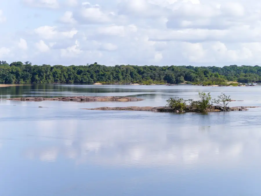
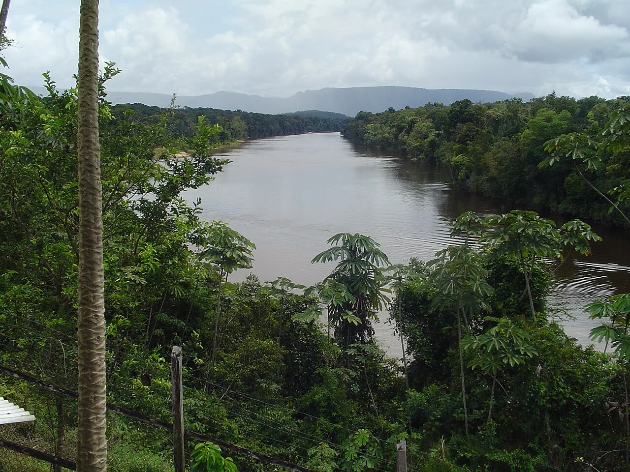
Mabura Hill is a significant geographical elevation and settlement in central Guyana, known for its pivotal role in the country's forestry industry. The area sits at an elevation of approximately 100 to 150 meters and is surrounded by dense tropical rainforests, which are among the most productive in the country. Geologically, Mabura Hill is part of the crystalline Guiana Shield, overlain by layers of lateritic and sandy sediments. In the 1980s, the region was developed through the establishment of Demerara Woods Limited, making Mabura Hill a center for timber processing. The region hosts the Tropenbos Guyana programme, which is dedicated to researching sustainable forest management. The flora is characterized by valuable timber species such as the Greenheart tree, prized globally for its durability. Wildlife includes numerous protected species, including howler monkeys and a variety of reptiles. Today, Mabura Hill is a key node on the main road connecting Georgetown to the interior of the country and serves as a base for scientific studies on rainforest ecology.
- Location: Guyana
- Nearby: Iwokrama Forest (55 km)
Best time to visit & climate
The most pleasant time to visit is Mar, Sep, Oct.
| Jan | Feb | Mar | Apr | May | Jun | Jul | Aug | Sep | Oct | Nov | Dec | |
|---|---|---|---|---|---|---|---|---|---|---|---|---|
| Avg °C | 26 | 26 | 27 | 27 | 26 | 25 | 25 | 26 | 27 | 27 | 27 | 26 |
| Rain mm | 149 | 108 | 92 | 139 | 284 | 265 | 251 | 178 | 84 | 81 | 117 | 179 |
📋 Practical info
Geography
Facts
- Mabura Hill is located approximately 180 kilometers south of the capital, Georgetown.
- The settlement was site of one of the Caribbean's largest sawmills in the 1980s.
- The Greenheart tree grows in this region, with wood that is extremely rot-resistant.
- The Tropenbos Guyana programme has conducted forestry research here since 1989.
- The average elevation of the region is about 120 meters above sea level.
- Mabura Hill is a major stop for travelers on the route to Lethem.
Explore nearby
Notable places around
Route planner — Car & Motorhome
Where do you start? We build the route here, with stops and country notes along the way.
© OpenStreetMap contributors · OpenRouteService
Sights nearby
Frequently asked questions
What is special about Mabura Hill?
Is the hill suitable for families?
Are there toilets or restaurants there?
What is the weather usually like there?
Can you camp on Mabura Hill?
Mabura Hill: where is it located?
Mabura Hill: when is the best time to visit?
Mabura Hill: why is it worth visiting?

Nearby cities
History & landmarks
Nature
More places