Plizio Visual Lab
Demerara River
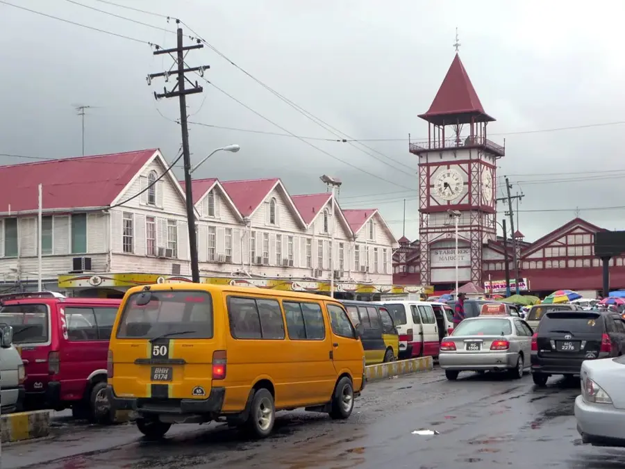
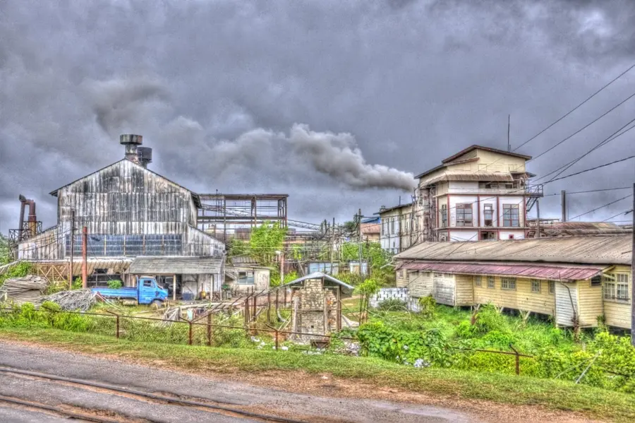
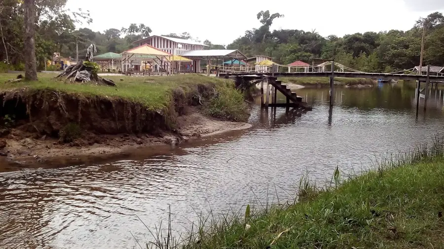
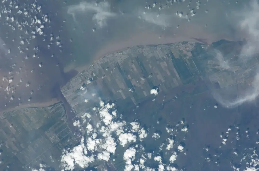
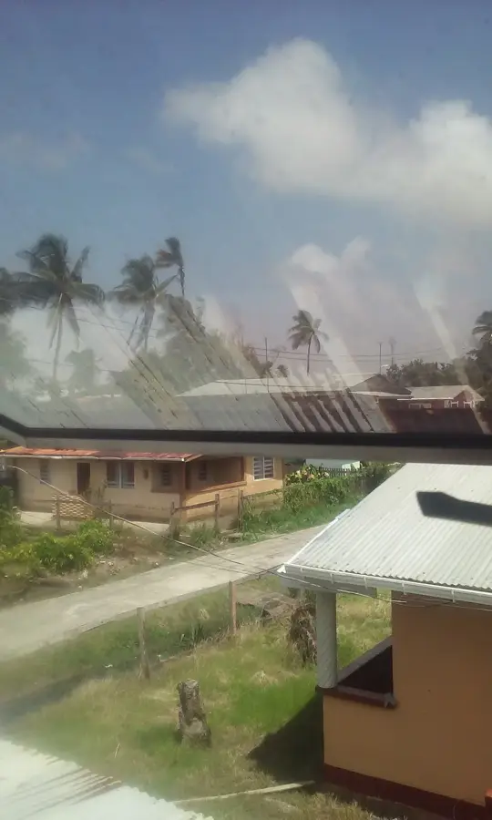
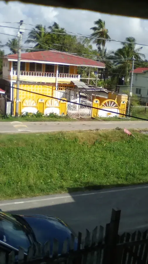
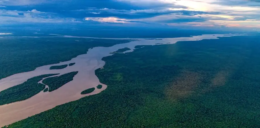
The Demerara River is one of Guyana's most economically vital waterways, despite its relatively modest length of 346 kilometers. It originates in the central highlands of the country and flows northward to empty into the Atlantic Ocean at Georgetown, the national capital. The river is notably deep, allowing ocean-going vessels to navigate up to 100 kilometers inland, which makes it central to the export of bauxite and sugar. The famous Demerara Harbour Bridge, one of the world's longest floating bridges, spans the river and connects Georgetown to the West Bank communities. The region surrounding the river is densely populated and serves as the industrial heartland of Guyana. Historically, the river gave its name to one of the former Dutch colonies that later merged to form British Guiana. Despite its heavy industrial use, the upper reaches of the river still feature pristine landscapes and diverse wildlife. The Demerara remains an essential artery for national transport and commerce.
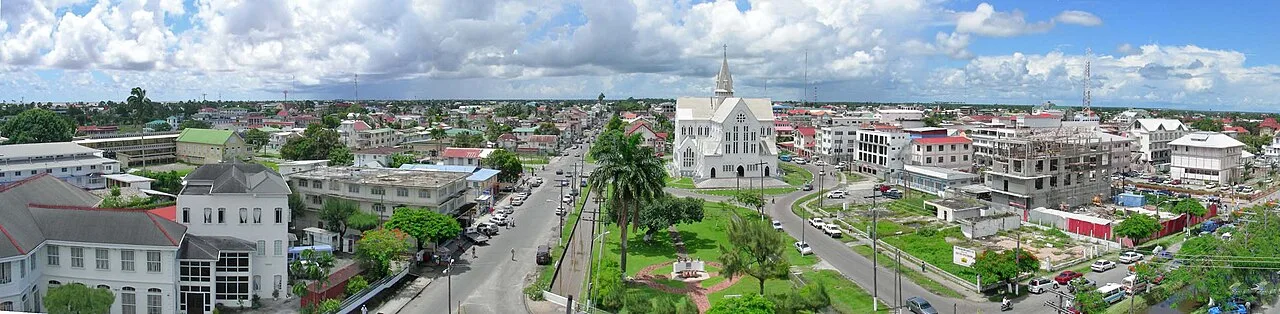
- Location: Guyana
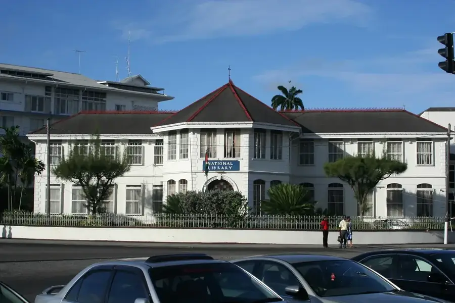
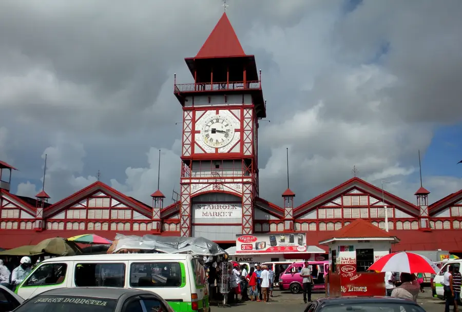
- Top sights: New Mosque · Faith Tabernacle AGS · La Penitance Market
- Nearby: Ruimveldt (4 km)
Best time to visit & climate
The most pleasant time to visit is Feb, Mar, Sep.
| Jan | Feb | Mar | Apr | May | Jun | Jul | Aug | Sep | Oct | Nov | Dec | |
|---|---|---|---|---|---|---|---|---|---|---|---|---|
| Avg °C | 26 | 26 | 27 | 27 | 27 | 27 | 27 | 27 | 28 | 28 | 28 | 27 |
| Rain mm | 181 | 117 | 94 | 144 | 315 | 314 | 302 | 193 | 102 | 103 | 181 | 257 |
📋 Practical info
Geography
Facts
- Length of approximately 346 km
- Empties into the Atlantic at Georgetown
- Navigable by large ships for 100 km
- Spanned by the Demerara Harbour Bridge
- Eponymous for the former Demerara colony
- Heart of the Guyanese bauxite industry
Explore nearby
Notable places around
Route planner — Car & Motorhome
Where do you start? We build the route here, with stops and country notes along the way.
© OpenStreetMap contributors · OpenRouteService
Sights in the town Demerara River (3)
Sights nearby
Frequently asked questions
Are there boat tours on the Demerara?
Why is the river water so brown?
Can you swim in the Demerara River?
What animals can be observed here?
What is the best way to cross the river?
Demerara River: where is it located?
Demerara River: what is there to see?
Demerara River: when is the best time to visit?
Demerara River: why is it worth visiting?

Nearby cities
History & landmarks
Nature
More places