Plizio Visual Lab
Linden-Soesdyke Highway Monument
Weather…
Water temperature…
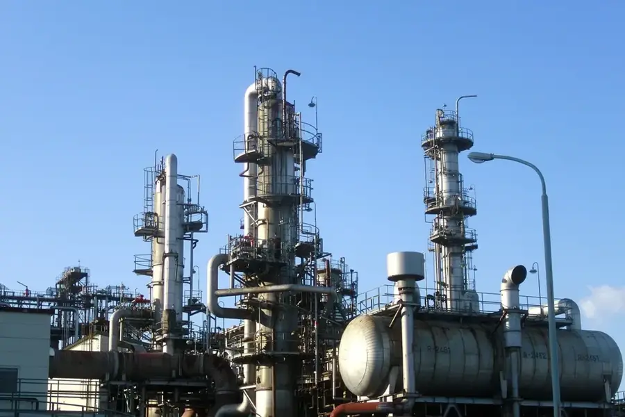
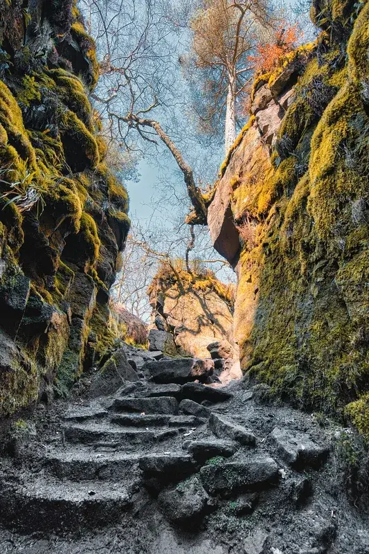
The Linden-Soesdyke Highway Monument commemorates the construction of Guyana's first modern long-distance highway, which created a transformative link between the coast and the interior. The 72-kilometer highway was completed in the late 1960s and officially opened to traffic in 1968. The monument honors the engineering feat and the international cooperation involved, particularly the support from the United States via USAID that made the project possible. The road traverses challenging terrain characterized by expansive white sand and dense tropical vegetation, making its construction a significant technical achievement at the time. By connecting the bauxite-mining town of Linden with the Georgetown metropolitan area, the highway revolutionized the transportation of minerals and timber. The monument is located at a strategic point along the route and serves as a reminder of Guyana's post-independence economic ambitions. Today, the highway remains one of the busiest and most critical arteries in the country, supporting the logistics of the southern highlands. The monument stands as a symbol of progress and the nation's drive to unify its isolated regions through infrastructure.
- Location: Guyana
- Top sights: Moblissa · Track 2 · Track 3
- Nearby: Wales (42 km)
Best time to visit & climate
The most pleasant time to visit is Mar, Sep, Oct.
| Jan | Feb | Mar | Apr | May | Jun | Jul | Aug | Sep | Oct | Nov | Dec | |
|---|---|---|---|---|---|---|---|---|---|---|---|---|
| Avg °C | 25 | 25 | 26 | 27 | 26 | 25 | 26 | 26 | 27 | 27 | 26 | 26 |
| Rain mm | 164 | 117 | 99 | 144 | 299 | 267 | 259 | 178 | 89 | 88 | 137 | 202 |
📋 Practical info
Geography
Facts
- The Linden-Soesdyke Highway was officially opened in 1968.
- The highway spans a total distance of 72 kilometers (45 miles).
- The project was largely funded by the U.S. agency USAID.
- It connects the capital's coastal region with the mining hub of Linden.
- The road passes through Guyana's unique white sand belt terrain.
- The monument celebrates the first major highway project of independent Guyana.
Explore nearby
Notable places around
Route planner — Car & Motorhome
Where do you start? We build the route here, with stops and country notes along the way.
© OpenStreetMap contributors · OpenRouteService
Sights in the town Linden-Soesdyke Highway Monument (6)
Sights nearby
Frequently asked questions
What does the Linden-Soesdyke Highway Monument represent?
Where exactly is the monument located?
Is the monument freely accessible at any time?
Are there parking spaces near the monument?
What else can be visited in the area?
Linden-Soesdyke Highway Monument: where is it located?
Linden-Soesdyke Highway Monument: what is there to see?
Linden-Soesdyke Highway Monument: when is the best time to visit?
Linden-Soesdyke Highway Monument: why is it worth visiting?

Nearby cities


History & landmarks


More places