PlizioGo
Linden
ℹ️Practical info — Linden
▾
🌤 Weather — 5 days
📍 Nearby
Sights nearby
💡 Tips
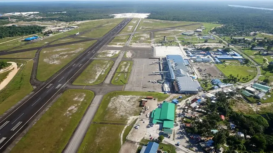
- Linden is accessible by minibus from Georgetown; the journey takes about 1.5 to 2 hours along the Soesdyke-Linden Highway.
- The climate is hot and humid year-round, so pack lightweight, breathable clothing and stay hydrated.
- It is an active mining town; while the famous 'Blue Lakes' are striking, always ask locals for safe viewing spots and do not swim in restricted areas.
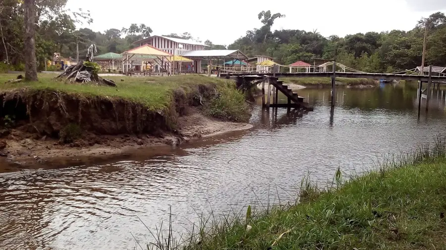
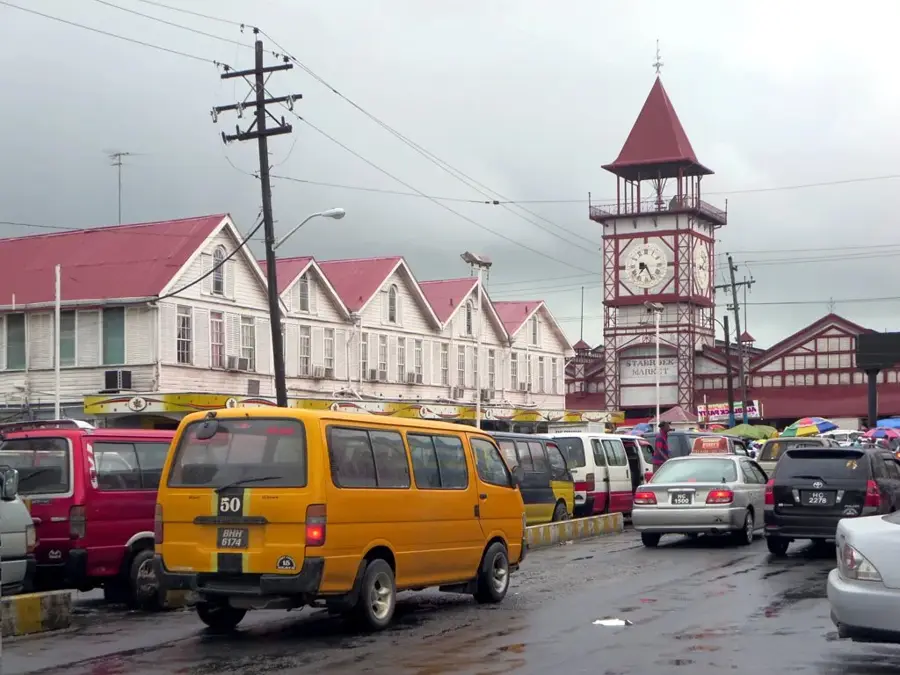
- The town is divided by the Demerara River; use the Mackenzie-Wismar Bridge to cross between the two main areas.
- Cash is essential here; ensure you have enough Guyanese dollars as card payments are not widely accepted in smaller shops.
🍽 Food
Try this rich meat stew cooked with cassareep, often served with bread at local eateries in the market area.
Look for local food stalls or small restaurants serving fried or curried fish fresh from the Demerara River.
A hearty, one-pot dish of rice, beans, and meat; grab a flavorful plate from a local cookshop.
🛍 Shopping · 🧘 Quiet spots
Visit the bustling local markets for fresh tropical fruits, spices, and everyday items.
Look out for small stalls selling handmade crafts and simple souvenirs made by local artisans.
Find a quiet spot along the riverbank to watch the water flow and the boats go by.
Visit the historical waterwheel area for a peaceful glimpse into the region's industrial past.
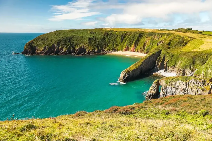
Ask a local guide for a safe, elevated spot to quietly admire the striking turquoise waters of the old bauxite mines.
Water temperature…
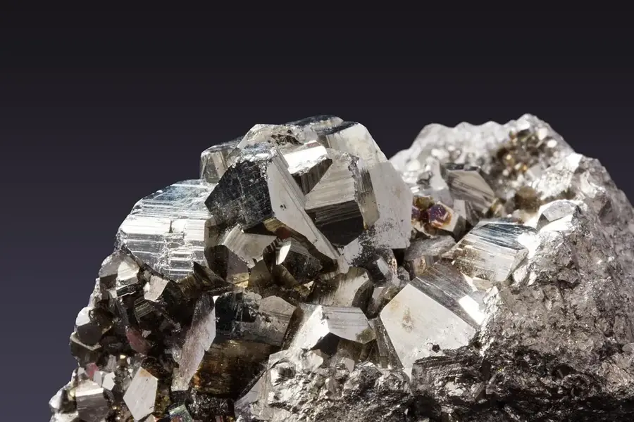
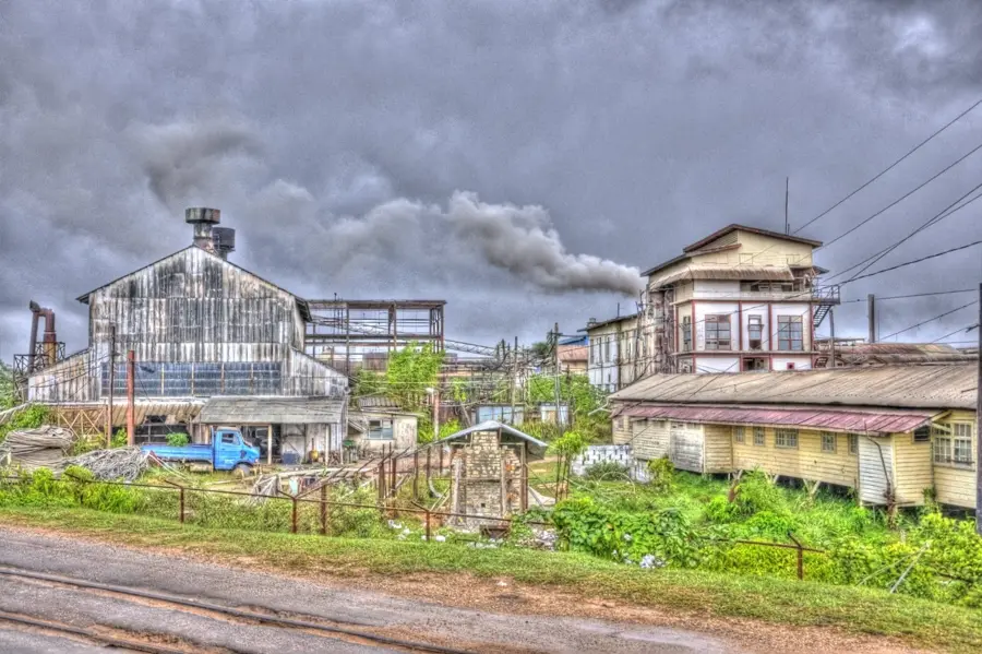
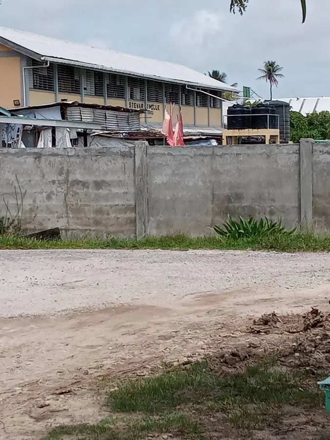
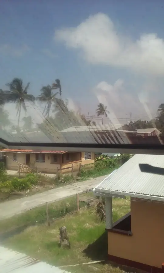
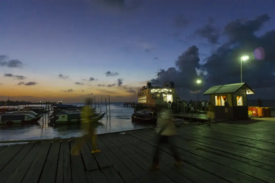
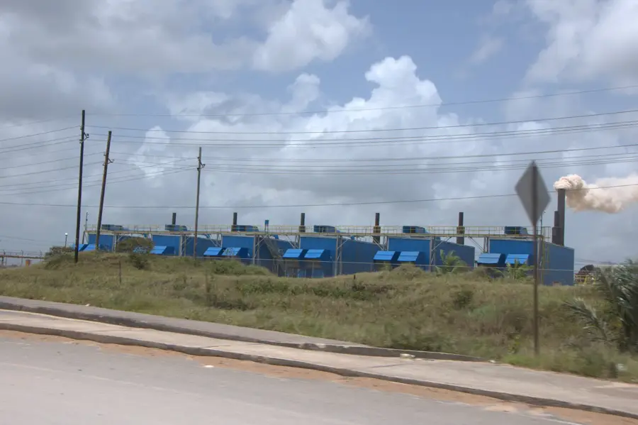
Linden is Guyana's primary mining town and the second-largest city in the country, located on the Demerara River in Region 10. Established as a unified town in 1970, it brought together the communities of Mackenzie, Wismar, and Christianburg. The town's identity is inextricably linked to bauxite mining, which began in the area in 1916. For over a century, the high-quality refractory-grade bauxite extracted here has been exported globally, sustaining the local economy and shaping the town's social fabric. Geographically, Linden sits in a hilly region characterized by white sands and dense forest, acting as a transition zone between the coastal plains and the interior highlands. One of its most striking features is the network of 'blue lakes', decommissioned bauxite mines that have filled with rainwater, creating a surreal landscape that attracts local and international photographers. Linden serves as a critical logistics hub, as it is the starting point for the main inland highway leading to the Brazilian border. The Demerara River remains a central artery for the town, used for both industrial shipping and recreational fishing. The town has a strong cultural identity, celebrated during the annual Linden Town Week, which showcases local talent, food, and history. In recent years, there has been a significant push toward economic diversification, focusing on tourism, value-added forest products, and sustainable agriculture. Linden is also an educational center, home to several technical institutes that train the nation's workforce. Despite facing the challenges of fluctuating global commodity prices, the resilience of the Linden people and the town's strategic location ensure its continued importance to Guyana’s national development strategy. As the country's oil wealth grows, Linden is poised to benefit from improved infrastructure and increased investment in its industrial and tourism potential.
- Location: Guyana
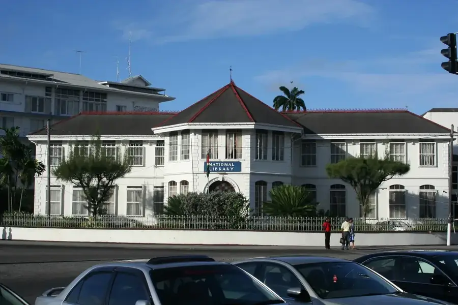
- Top sights: Egbert Benjamin Exhibition & Conference Centre · Linden Museum · cannabis field
- Nearby: Baganara Island (38 km)
- Population: ~44.690 (2025)
Best time to visit & climate
The most pleasant time to visit is Mar, Sep, Oct.
| Jan | Feb | Mar | Apr | May | Jun | Jul | Aug | Sep | Oct | Nov | Dec | |
|---|---|---|---|---|---|---|---|---|---|---|---|---|
| Avg °C | 25 | 25 | 26 | 27 | 26 | 25 | 26 | 26 | 27 | 27 | 26 | 26 |
| Rain mm | 164 | 117 | 99 | 144 | 299 | 267 | 259 | 178 | 89 | 88 | 137 | 202 |
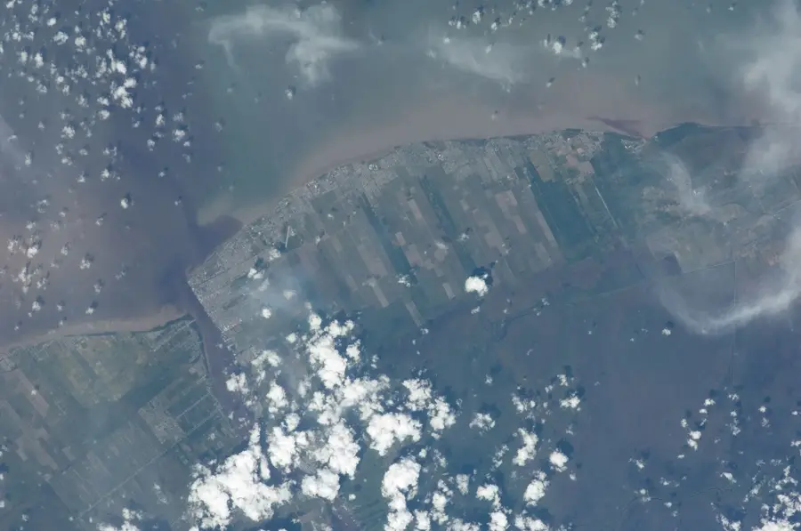
Geography
Facts
- Linden is the capital of the Upper Demerara-Berbice administrative region.
- The town was created by the Municipal Councils Act of 1970.
- It is known as the 'Gateway to the Interior' of Guyana.
- The blue color of the mine lakes is caused by high mineral concentration.
- Bauxite from Linden is noted for its high alumina content (over 60%).
- The Wismar-Mackenzie Bridge was the first of its kind in the area.
- Linden has a tropical rainforest climate (Af) with heavy year-round rain.
- The town covers an area of approximately 142 square kilometers.
Explore nearby
Notable places around
Route planner — Car & Motorhome
Where do you start? We build the route here, with stops and country notes along the way.
© OpenStreetMap contributors · OpenRouteService
Explore Guyana's industrial heart on foot. Cross the Mackenzie-Wismar bridge and visit the bustling Wismar Market. After a history lesson at the Linden Museum and a riverside lunch, admire the colonial-style Watooka House.
This car tour takes you to the hidden gems of Linden. Visit the historic Christianburg Waterwheel before admiring the industrial scale of the bauxite mines. The highlight is the famous Blue Lakes, where you'll have time for relaxation and a picnic before returning to town.
Sights in the town Linden (9)
Frequently asked questions
What is the city of Linden known for?
Are there tourist attractions in Linden?
How far is Linden from Georgetown?
Can you take mine tours?
What role does the Demerara River play for Linden?
Linden: where is it located?
Linden: what is there to see?
Linden: when is the best time to visit?
Linden: why is it worth visiting?

Nearby cities

History & landmarks
Nature
More places