Plizio Visual Lab
Mahdia
ℹ️Practical info — Mahdia
▾
🌤 Weather — 5 days
📍 Nearby
Sights nearby
💡 Tips
- Since it's a mining hub, roads can be rough; consider traveling by small aircraft or 4x4.
- Pack rain gear as the region gets heavy rainfall.
- Gold trading is common, but always buy from official dealers.
- Visit the central market early for the freshest supplies.
🍽 Food
Try this traditional Guyanese meat stew at local eateries.
A staple side dish available at the main market.
Hearty, rustic meals often prepared by miners and locals.
🛍 Shopping · 🧘 Quiet spots
Look for crafted pieces in official shops around the town center.
Great for picking up regional fruits and everyday supplies.
A serene spot outside the bustling center to watch the water flow.
Take a quiet walk towards the hills for a nature escape.
Water temperature…
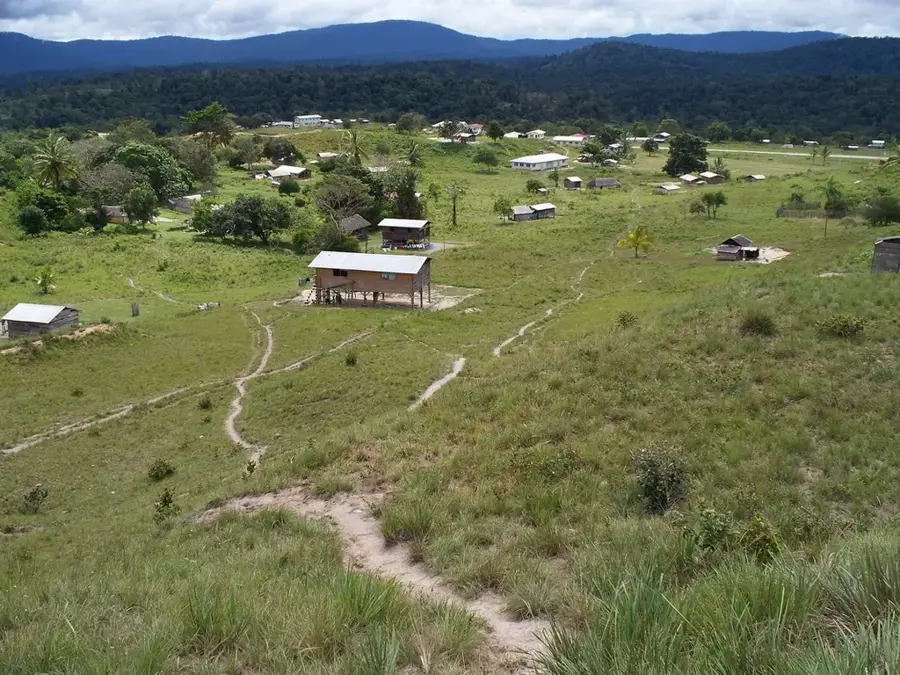
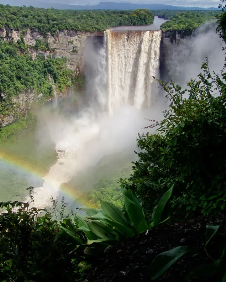
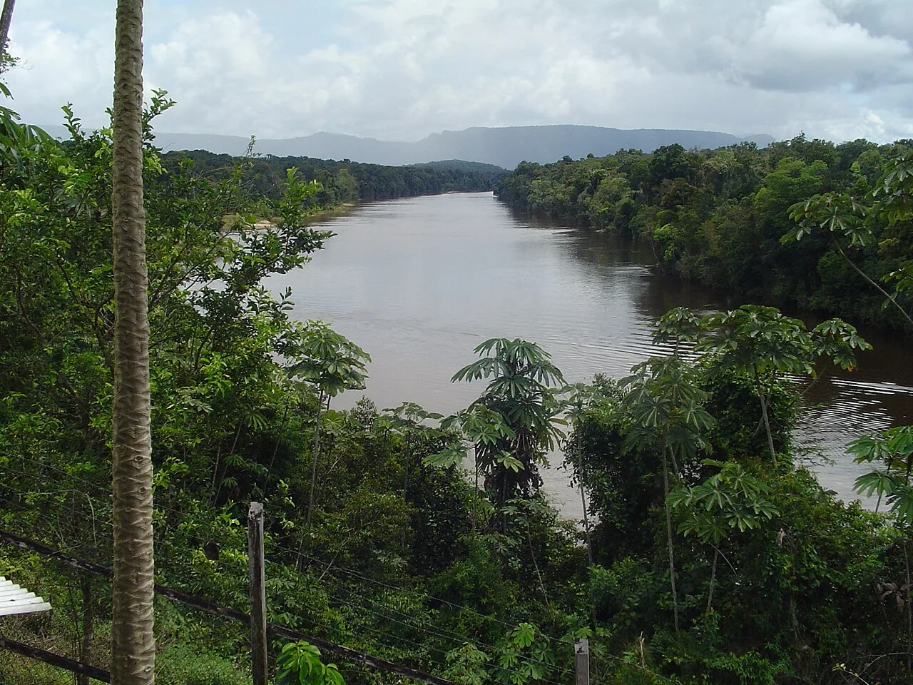
Mahdia is the regional capital of Potaro-Siparuni (Region 8) and stands as Guyana’s premier gold and diamond mining hub. Established in 1884, the town's origins are deeply rooted in the 19th-century gold rush that drew prospectors into the dense interior of the Guiana Shield. The name 'Mahdia' was bestowed by freed African miners, symbolizing a place of refuge and promise. Geographically, the town is located in the foothills of the Pakaraima Mountains, surrounded by pristine rainforest and near the powerful Potaro River. Its economy is almost exclusively driven by the extractive industries, attracting a diverse workforce including local 'porkknockers' (artisanal miners), large-scale mining firms, and Brazilian garimpeiros. In October 2018, Mahdia was officially commissioned as Guyana’s tenth town, reflecting its growing administrative importance and the government's commitment to developing the interior. The town center is a bustling marketplace where gold is the primary currency, and shops are stocked with specialized mining gear. Cultural life in Mahdia is a unique blend of coastal Guyanese traditions, indigenous Patamona heritage, and Brazilian influences, seen in the local music and cuisine. The nearby indigenous village of Campbelltown is effectively integrated into the town's social structure. While the town features immense wealth through its minerals, it also faces significant environmental challenges, such as land degradation and water pollution resulting from hydraulic mining. Mahdia acts as a strategic base for geological surveys and ecological research in Region 8, which is home to the iconic Kaieteur Falls. Infrastructure is a priority, with ongoing projects to pave the road connecting Mahdia to Linden, which would drastically reduce transport costs and boost trade. Despite its rugged exterior, Mahdia is a community of intense energy and ambition, representing the pioneering spirit of Guyana’s heartland.
- Location: Guyana
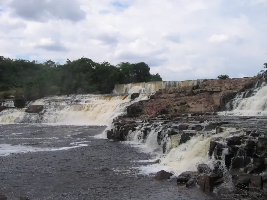
- Top sights: Tumatumari · Mahdia, Guyana · Campbelltown, Guyana
- Nearby: Surama (66 km)
- Population: ~4.200 (2025)
Best time to visit & climate
The most pleasant time to visit is Mar, Sep, Oct.
| Jan | Feb | Mar | Apr | May | Jun | Jul | Aug | Sep | Oct | Nov | Dec | |
|---|---|---|---|---|---|---|---|---|---|---|---|---|
| Avg °C | 26 | 26 | 27 | 27 | 26 | 25 | 25 | 26 | 27 | 27 | 27 | 26 |
| Rain mm | 149 | 108 | 92 | 139 | 284 | 265 | 251 | 178 | 84 | 81 | 117 | 179 |
Geography
Facts
- Mahdia is located at the center of Guyana's landmass.
- The town was officially proclaimed by President David Granger.
- It is named after a spiritual leader in the 19th-century context.
- Average daytime temperatures range from 28°C to 32°C.
- The Potaro River is the lifeblood of the town's mining industry.
- The Denham Bridge is a historical landmark near the town.
- Gold production in this area accounts for a large portion of national output.
- Mahdia serves as the primary gateway to the Pakaraima mountain range.
Explore nearby
Notable places around
Route planner — Car & Motorhome
Where do you start? We build the route here, with stops and country notes along the way.
© OpenStreetMap contributors · OpenRouteService
Sights in the town Mahdia (3)
Frequently asked questions
What is the main industry in Mahdia?
How do you get to Kaieteur Falls from Mahdia?
What is Jasper Creek?
What is the infrastructure like in Mahdia?
Is there an airstrip there?
Mahdia: where is it located?
Mahdia: what is there to see?
Mahdia: when is the best time to visit?
Mahdia: why is it worth visiting?

Nearby cities
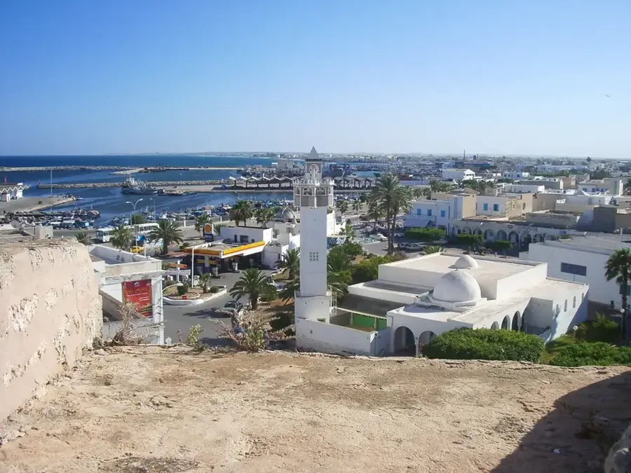
History & landmarks
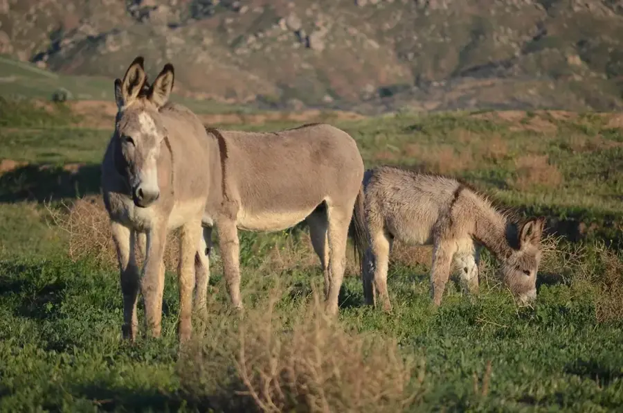
Nature
More places