Plizio Visual Lab
White Sand Plateau
Weather…
Water temperature…
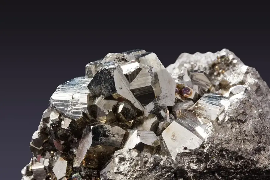
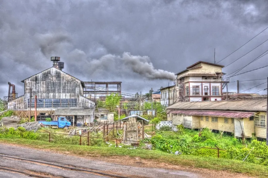
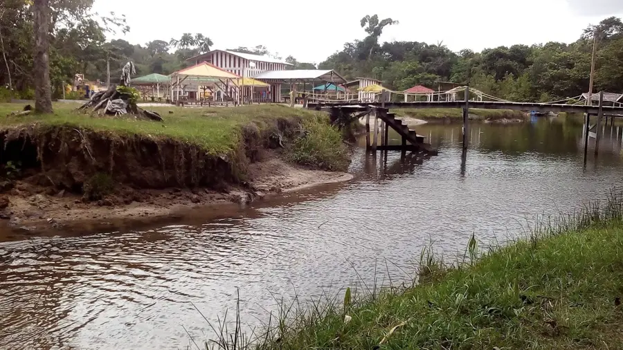
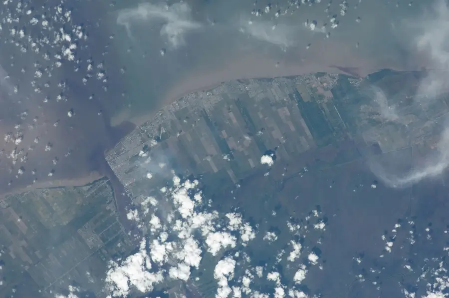
The White Sand Plateau, also known as the Zanderij formation, is a prominent geological region stretching across parts of Guyana and Suriname. This plateau consists predominantly of coarse, white quartz sands formed during the Cenozoic era through erosion and deposition. The soils are extremely nutrient-poor and exhibit high permeability, leading to a specialized vegetation cover in the area. Dry wallaba forests dominate here, having adapted to the challenging soil conditions and hosting a characteristic flora and fauna. The plateau serves as an important water reservoir, as the sand filters rainwater and directs it into deeper aquifers. Economically, the region is partially used for sand and bauxite mining, though this brings ecological challenges to the environment. Due to its low agricultural suitability, the area is less densely populated than the coastal regions. Protecting this unique soil formation is of great importance for maintaining regional water quality.
- Location: Guyana
- Nearby: Kwakwani (34 km)
Best time to visit & climate
The most pleasant time to visit is Mar, Sep, Oct.
| Jan | Feb | Mar | Apr | May | Jun | Jul | Aug | Sep | Oct | Nov | Dec | |
|---|---|---|---|---|---|---|---|---|---|---|---|---|
| Avg °C | 25 | 26 | 26 | 27 | 26 | 26 | 26 | 26 | 27 | 27 | 27 | 26 |
| Rain mm | 163 | 118 | 102 | 145 | 299 | 261 | 259 | 176 | 87 | 87 | 134 | 206 |
📋 Practical info
Geography
Facts
- The plateau consists primarily of quartz sand from the Berbice formation.
- The sands reached a thickness of over 60 meters in some locations.
- Wallaba trees make up approximately 60% of the forest composition.
- The region is one of the most important sources of industrial sand in Guyana.
- The age of the deposits is estimated to be from the Pliocene and Pleistocene.
- The soil's permeability prevents the formation of permanent surface water bodies.
Explore nearby
Notable places around
Route planner — Car & Motorhome
Where do you start? We build the route here, with stops and country notes along the way.
© OpenStreetMap contributors · OpenRouteService
Sights nearby
Frequently asked questions
What is the White Sand Plateau?
Can the plateau be visited?
What vegetation is found there?
How is the soil condition?
What should you bring for a visit?
White Sand Plateau: where is it located?
White Sand Plateau: when is the best time to visit?
White Sand Plateau: why is it worth visiting?

Nearby cities

History & landmarks
Nature

More places