Plizio Visual Lab
Mount Kamakusa

Weather…
Water temperature…
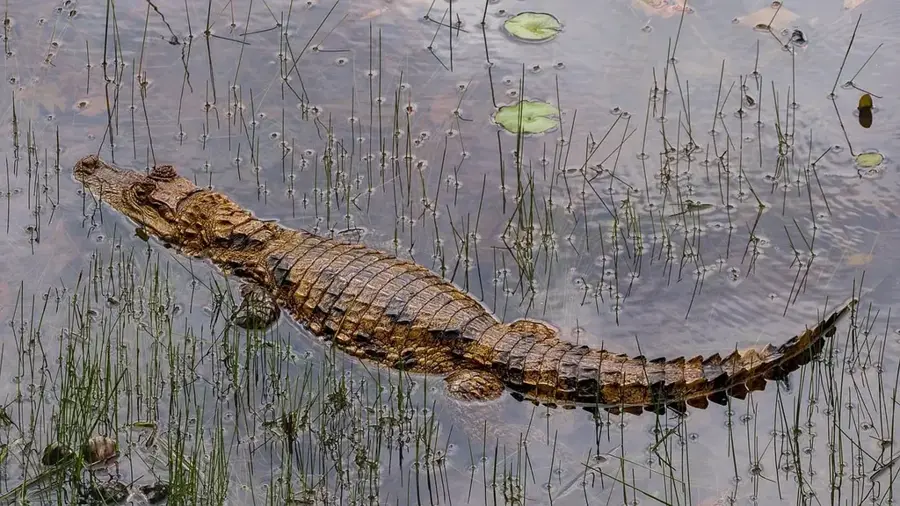
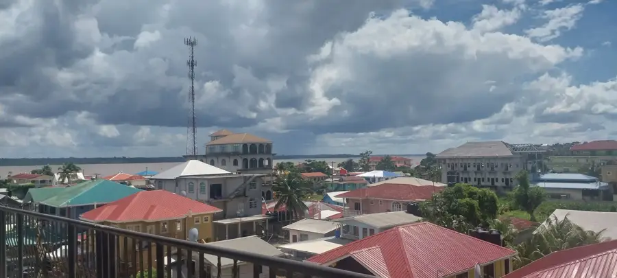
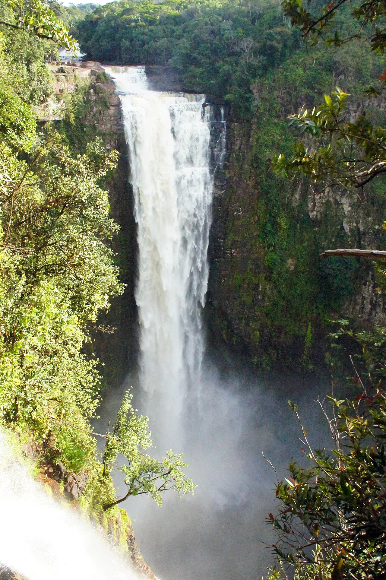
Mount Kamakusa is one of the most prominent and highest peaks in the Pakaraima mountain range of western Guyana, standing at an impressive elevation of approximately 1,691 meters. It is located deep within the interior of the Cuyuni-Mazaruni region and forms part of the ancient Guiana Shield. The mountain's geology is defined by massive sandstone and steep, often impassable cliffs that support a wide summit plateau. This plateau hosts a unique ecosystem with a high number of endemic species that have evolved in relative isolation over millions of years. The mountain is a critical source for several rivers, including tributaries of the Mazaruni, and contributes significantly to the water balance of the surrounding rainforests. Due to extreme remoteness and dense forest cover, Mount Kamakusa is exceptionally difficult to access, making it one of the least explored areas in Guyana. Expeditions to this region require meticulous planning and are frequently hampered by extreme weather conditions, including frequent and heavy rainfall. For scientists, the mountain features enormous potential for discovering new species and understanding South America's geological history. It stands as a symbol of the pristine wilderness and rugged beauty of the Guyanese highlands.
- Location: Guyana
- Nearby: Kamrang (28 km)
Best time to visit & climate
The most pleasant time to visit is Feb, Mar, Oct.
| Jan | Feb | Mar | Apr | May | Jun | Jul | Aug | Sep | Oct | Nov | Dec | |
|---|---|---|---|---|---|---|---|---|---|---|---|---|
| Avg °C | 24 | 25 | 26 | 26 | 25 | 24 | 24 | 25 | 25 | 25 | 25 | 25 |
| Rain mm | 128 | 89 | 69 | 129 | 271 | 285 | 247 | 191 | 97 | 80 | 113 | 148 |
📋 Practical info
Geography
Facts
- The estimated summit elevation of Mount Kamakusa is 1,691 meters.
- The mountain is part of the ancient Guiana Shield geological formation.
- It is located in the largely undeveloped Cuyuni-Mazaruni region.
- Numerous waterfalls plunge from its sheer sandstone flanks.
- Scientific expeditions to the summit are exceptionally rare.
- The vegetation includes rare ferns and mosses typical of cloud forests.
Explore nearby
Notable places around
Route planner — Car & Motorhome
Where do you start? We build the route here, with stops and country notes along the way.
© OpenStreetMap contributors · OpenRouteService
Sights nearby
Frequently asked questions
In which range is Mount Kamakusa located?
How high is the summit?
Is the area explored?
What is the vegetation like?
Are there trails to the mountain?
Mount Kamakusa: where is it located?
Mount Kamakusa: when is the best time to visit?
Mount Kamakusa: why is it worth visiting?

Nearby cities
Nature
More places